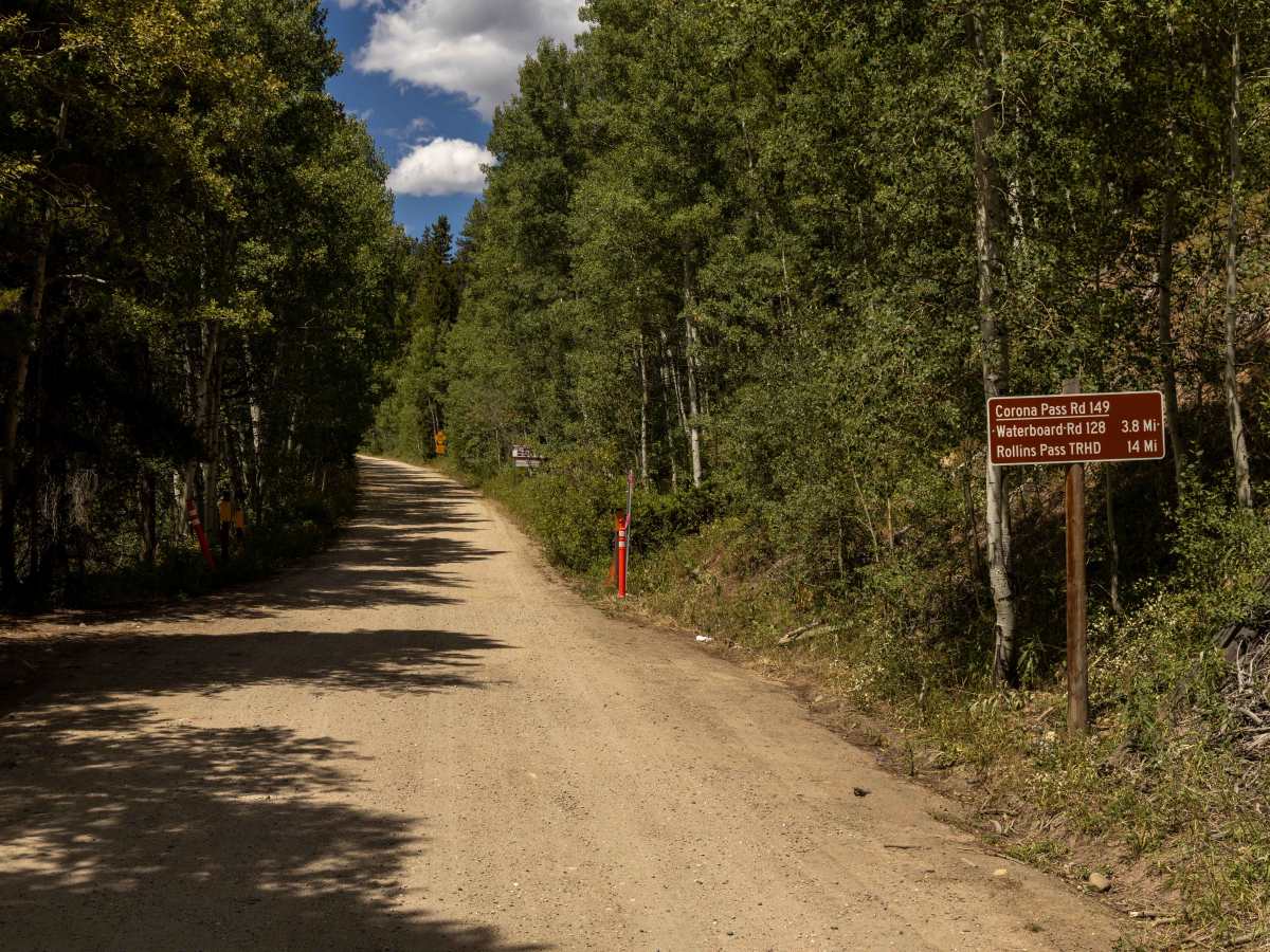
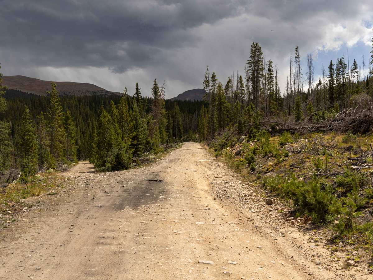
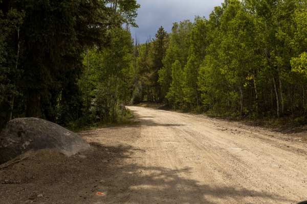
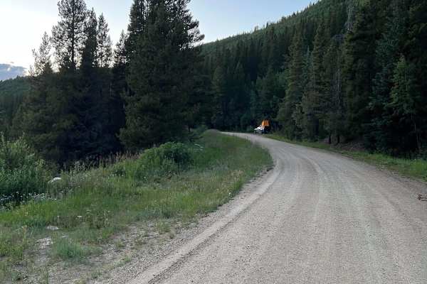
Rollins Pass West

Total Miles 15.7
Technical Rating
4 Moderate
Best Time Summer, Fall, Spring
Trail Type Full-Width Road
Accessible By
Open Trail Map

Trail Overview

A beautiful, easy drive through thick trees. You'll eventually rise above the timberline and get an amazing view of Winter Park Ski Area as well as some gorgeous mountain lakes. If you want to continue on, take Boulder Wagon Road to the other side of the pass. There are some good hikes along the way. Unlicensed vehicles are permitted on marked roads only. Open June 15 to November 15. This trail used to connect to the other side (down to Yankee Doodle Lake), but the road is now closed. The area between Rollins West and Rollins East has a giant barricade blocking the connection of the two roads.

Photos of Rollins Pass West

Difficulty

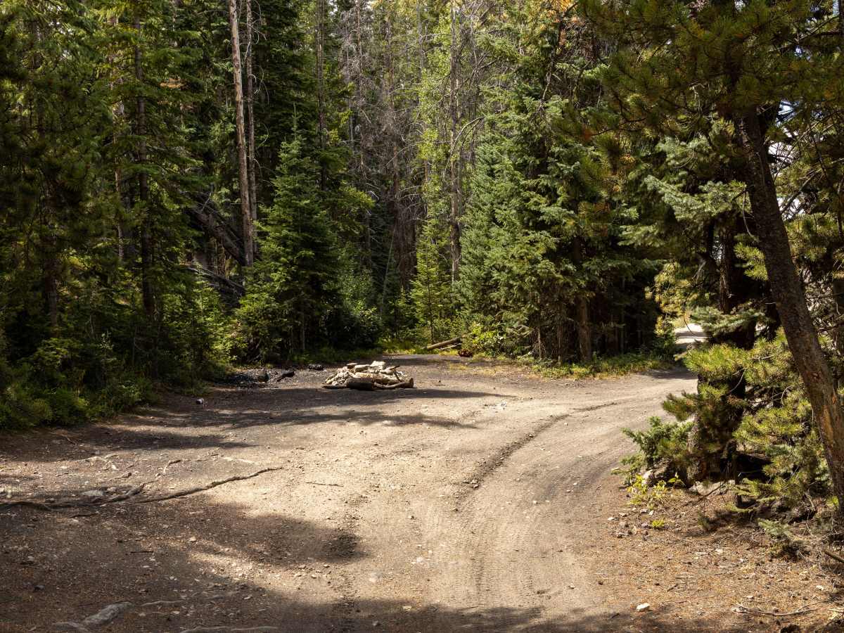
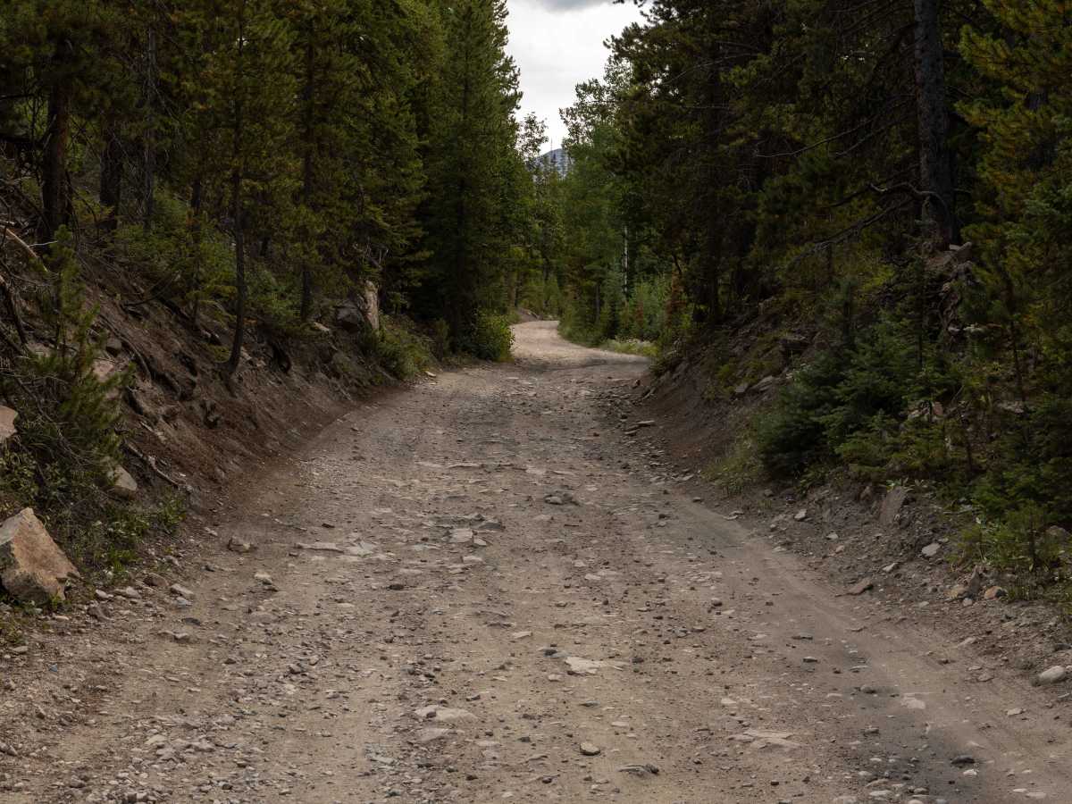
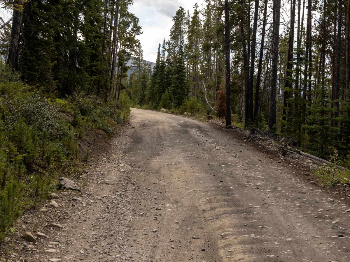
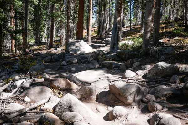
This unmaintained trail is rough, with rocky terrain. The end, in particular is what gives this trail it's rating, as the final shelf road to the parking lot is narrow, with loose rock, erosion, and steep grades.

History

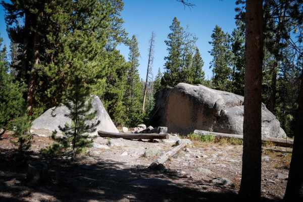
Historically, Rollins Pass West was part of the Denver, Northwestern & Pacific Railway in the early 1900s, constructed to provide rail access across the Continental Divide before the Moffat Tunnel was completed. The western approach allowed trains to reach mining towns and connect mountain communities, leaving behind remnants of old rail grades, stations, and stone structures. Today, the trail preserves this rich history while offering a technical offroad experience amid stunning high-altitude vistas of the Front Range and Middle Park valleys. Approximately 10,000 years ago, prehistoric people traveled this east-west pathway and used it as a summer hunting ground. July, 1863 - Capt. Jacob P. Bonesteel crossed the Old Ute Trail to rendezvous with Major Simeon Whiteley in Middle Park. Summer 1865 - Bela Metcalfe Hughes' survey party with a military escort crossed eastbound with 150 men and 22 wagons. 1865 - John Quincy Adams Rollins led 100 Mormons with their 39 wagon teams across Boulder Pass. Feb 6, 1866 - Rollins, Perley Dodge, and Frederic Candee Weir were granted a charter for the Middle Park & South Boulder Wagon Road Co. Their 40-mile-long toll road was completed by 1873. Sept. 15, 1866 - While surveying Boulder Pass, Union Pacific civil engineers Percy Thorne Browne, 23, and Francis Everett Appleton, 24, were nearly killed by an early fierce blizzard that shattered and scattered their survey party toward Central City. This validated the U. P.'s 1867 decision to locate its Continental Divide crossing in Wyoming. Fall 1881 - The 36-inch gauge Denver, Utah & Pacific began a 2,260-foot-long tunnel under Dartt Pass. Visible today, the east portal is on the southeast shore of King Lake, and the approach cut to the west portal is east of and above Corona Lake. Ranchers, including G.H. Church, used Rollins Pass for cattle drives to and from Denver and the pastures in Grand County. David H. Moffat's standard gauge Denver Northwestern & Pacific Ry. built this Temporary Rollins Pass Branch with 4 percent grades and 16-degree curves to serve just until he could bore his planned 2.6-mile-long Main Range tunnel under Rogers Pass. Trains arrived here at Corona on Sept. 3, 1904, and Arrowhead, 11 miles west, on Sept. 18, 1904. For 24 winters - until the Feb. 26, 1928, official opening of the Moffat tunnel - Moffat's men struggled to keep this line operational. On May 14, 1935, the ICC granted permission to abandon the line. By the fall of 1936, all rails were removed.

Technical Rating

4

Status Reports

Add Status Report
Tyler Tucker
Jun 12, 2026
Open
Mike Shull
May 22, 2026
Open
Asher
Nov 02, 2025
Open
mostly clear, snow too thick to pass near trailhead between between east and west.
Jeremy Bradley
Oct 10, 2025
Open
The road/trail has deteriorated a lot after the first mile or so that is still maintained. Lots of erosion exposing rocks with potential for tire damage. You'll want to air down at least a bit, drive slow, and pick your lines carefully for the numerious sharp rock outcrops. You cannot access the east portion of the road from the west, the tunnel has been closed for a long time and the alternate routes are gated/closed as well. So this is strictly and in and out trail. The last mile or so, after the trailhead/parking lot, to the tunnel is in very bad shape. Lots of sharps that are impossible to miss, so you'll probably want a vehicle with good offroad tires and aired down for sure if you want to do that. No clearance issues so a standard SUV can make it, but I wouldnt suggest the last bit with highway tires. We took about 6 hours on this trail with numerous stops for the amazing scenery, the tunnel, and the old bridge. Strictly in and out would probably take about 4 hours with the current road conditions.
Liam S
Sep 21, 2025
Open
Erik Neitzel
Sep 08, 2025
Open
Jim Torres
Aug 31, 2025
Open
Easy bumpy trail. Lots of stock vehicles on the trail.
Brad R
Jul 19, 2025
Open
Def need very high clearance, totally not maintained, some large mud pits and washouts due to spring runoff. Had to turn back 2/3rds of way to peak due to the slowness of navigating and one potentially impassable mud pit. Standard stock 4wd suv with AT tires and “high clearance” not going to cut it without risk into your vehicle imo. Just an fyi as I interpreted the “2” rating for this incorrectly, or it’s really more of a 3 due to damage from spring
Mark Chase
Jul 12, 2025
Open
The tunnel has collapsed sections, so it’s closed. Some of the areas of the road were quite rocky, deep holes, and steams flowing down the trail creating mud holes.
Aaron Back
Jul 11, 2025
Open
I am a rookie driving trails but this definitely seemed a bit more difficult than a 2/10. Make sure you have good clearance and take your time!
Greg Sandy
Jul 09, 2025
Open
Lots of rocks and dips. Rougher than described but fun and the end is worth it.
Will B
Jun 29, 2025
Open
Open and clear the entire route, few water spots but nothing any vehicle can’t pass. Once you pass the gate the road becomes rougher and isn’t advisable for anything lower clearance. Once to the parking at the pass, the road narrows and becomes partly loose rocks and steep edges. One way traffic only here until you get over the pass and parking for the tunnel bit. Good trek and amazing views
Jeremy Buckey
Jun 25, 2025
Open
Jim Z
Jun 15, 2025
Open
Roads above 9000ft r not accessible by vehicle atm, bikes can go through though
Cody Deno
Oct 16, 2024
Open
Beautiful views. A lot of rocks after about 5 miles. Be prepared to be jostled around a bit. Definitely a fun trip though!

Rollins Pass West Trail can be accessed by the following ride types:

  • Single Track
  • 50 Inch
  • 60 Inch
  • High Clearance
  • Full Width

Rollins Pass West Map

The onX Offroad Difference

onX Offroad combines trail photos, descriptions, difficulty ratings, width restrictions, seasonality, and more in a user-friendly interface. Available on all devices, with offline access and full compatibility with CarPlay and Android Auto. Discover what you're missing today!

Open Trail Map