Trail Overview
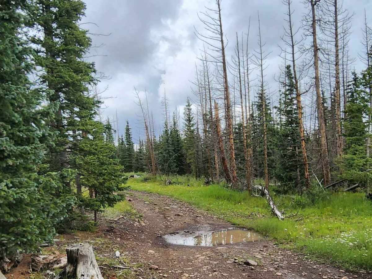
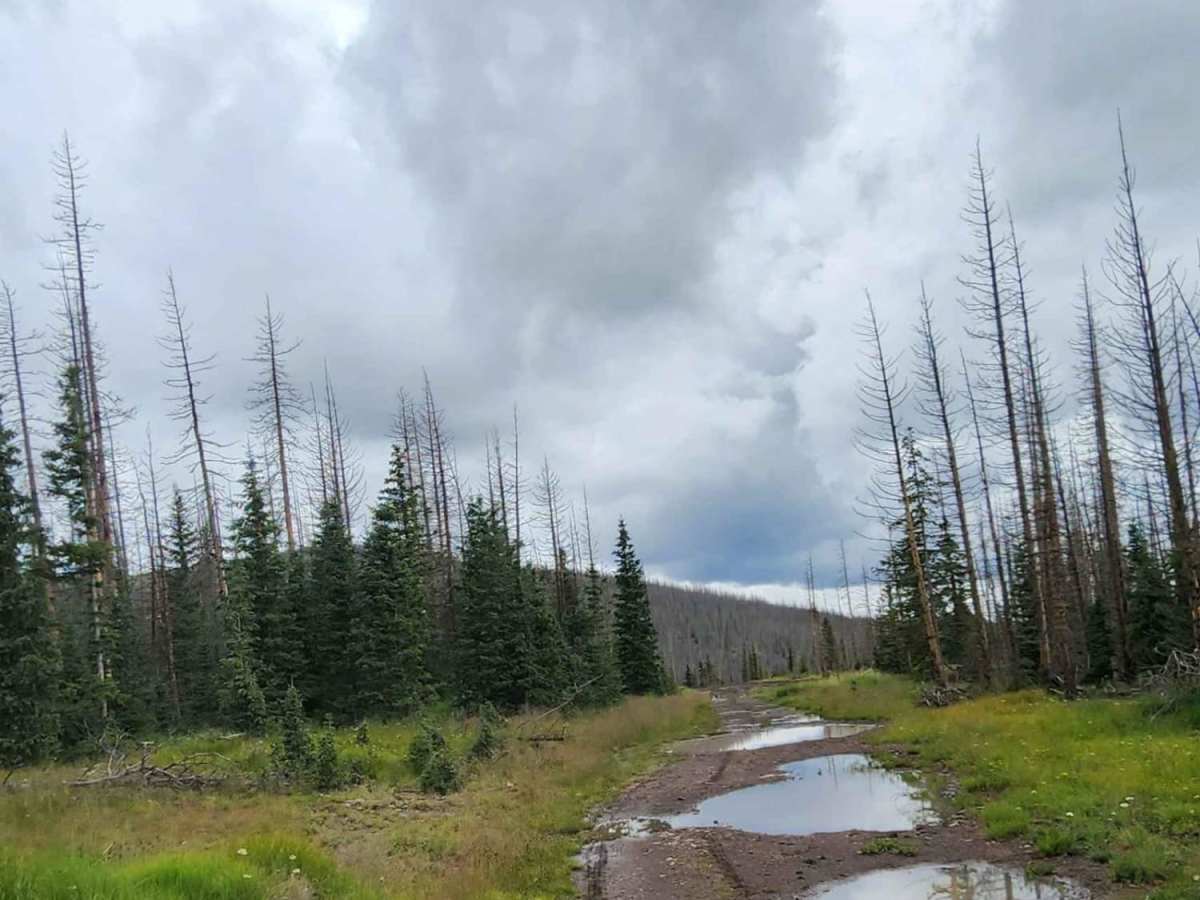
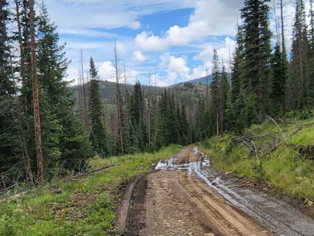
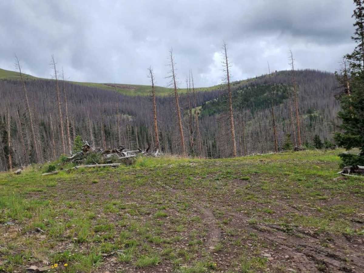
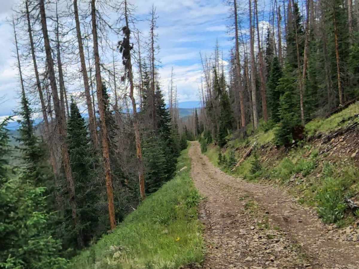
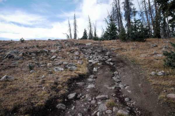
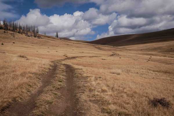
Raspberry is a 5.8-mile offroad trail in Colorado's La Garita Mountains within the Rio Grande National Forest. Stretching between Forest Service Road 675 and Forest Service Road 673, the route travels through evergreen forests and open meadows, climbing to a peak elevation of 11,385 feet. The trail is mostly one to two vehicles wide and is suitable for high-clearance 4WD vehicles, though stock SUVs can navigate the route during dry conditions with careful tire placement.
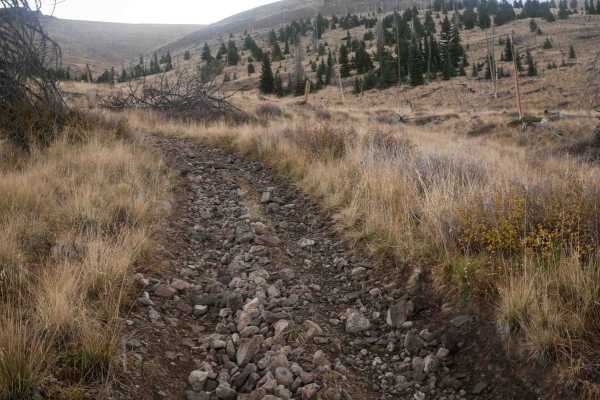
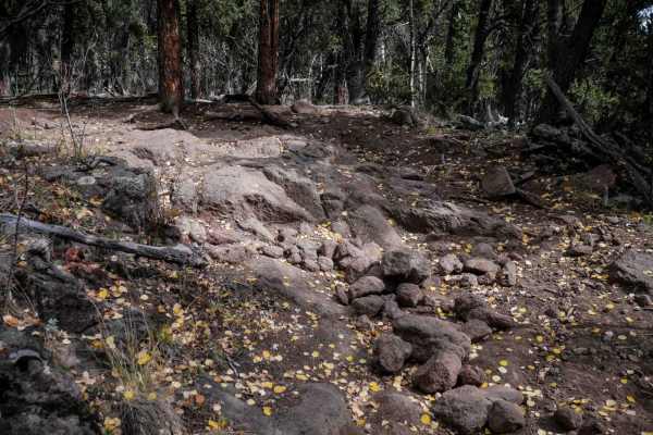
Obstacles include minor rocky sections, ledges under 12 inches, and potential shallow water crossings. The dirt and rock surface becomes highly slick and muddy when wet. Due to the high elevation, snowpack blocks the route well into June, making late spring through early autumn the ideal travel window. Dispersed camping is extremely limited along the route, with only one or two small spots available.
Access Description
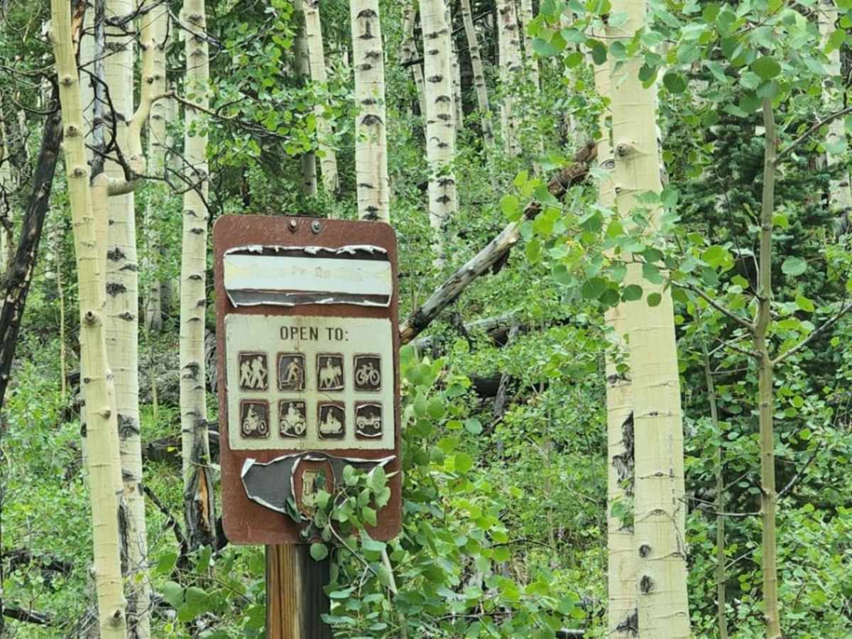
The route is located within the Rio Grande National Forest and is subject to seasonal closures. No fees or permits are required to drive the trail. Users should consult the Rio Grande National Forest Motor Vehicle Use Map (MVUM) for specific opening and closing dates, which typically depend on snowpack levels.