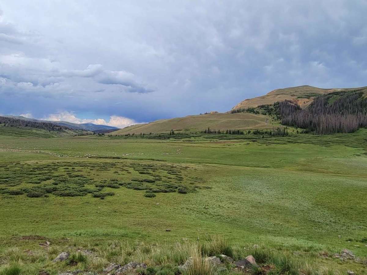
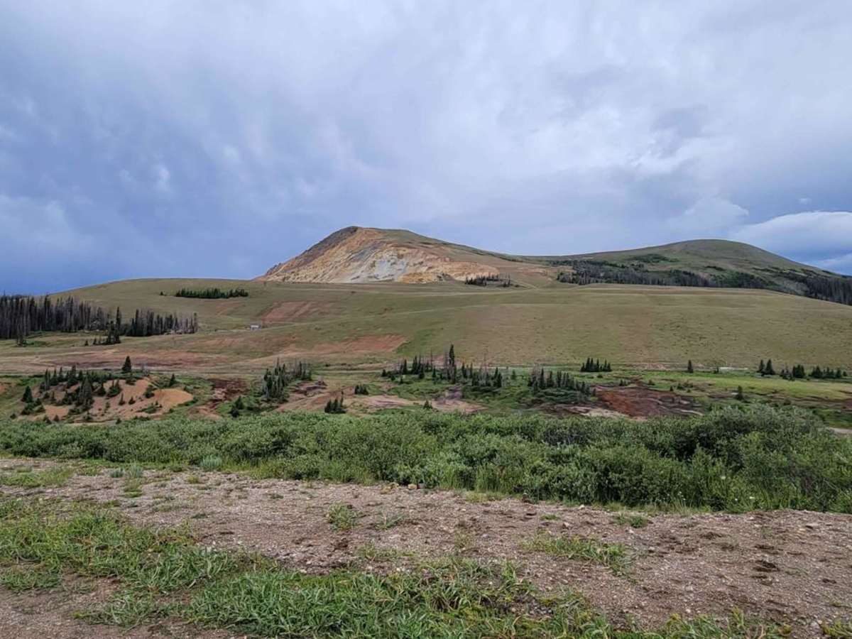
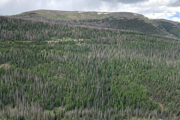
Pinos Creek and Summitville Roads

Total Miles 18.3
Technical Rating
3 Easy
Best Time Spring, Summer, Fall
Trail Type Full-Width Road
Accessible By
Open Trail Map

Trail Overview

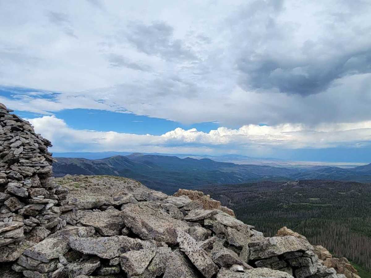
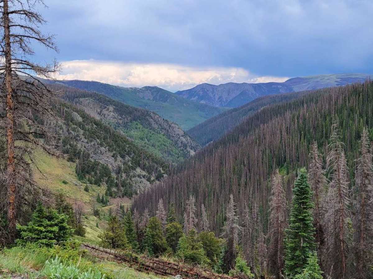
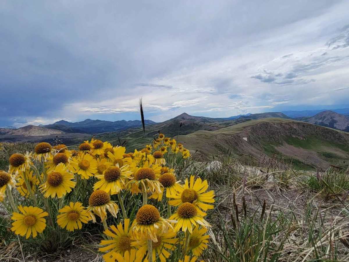
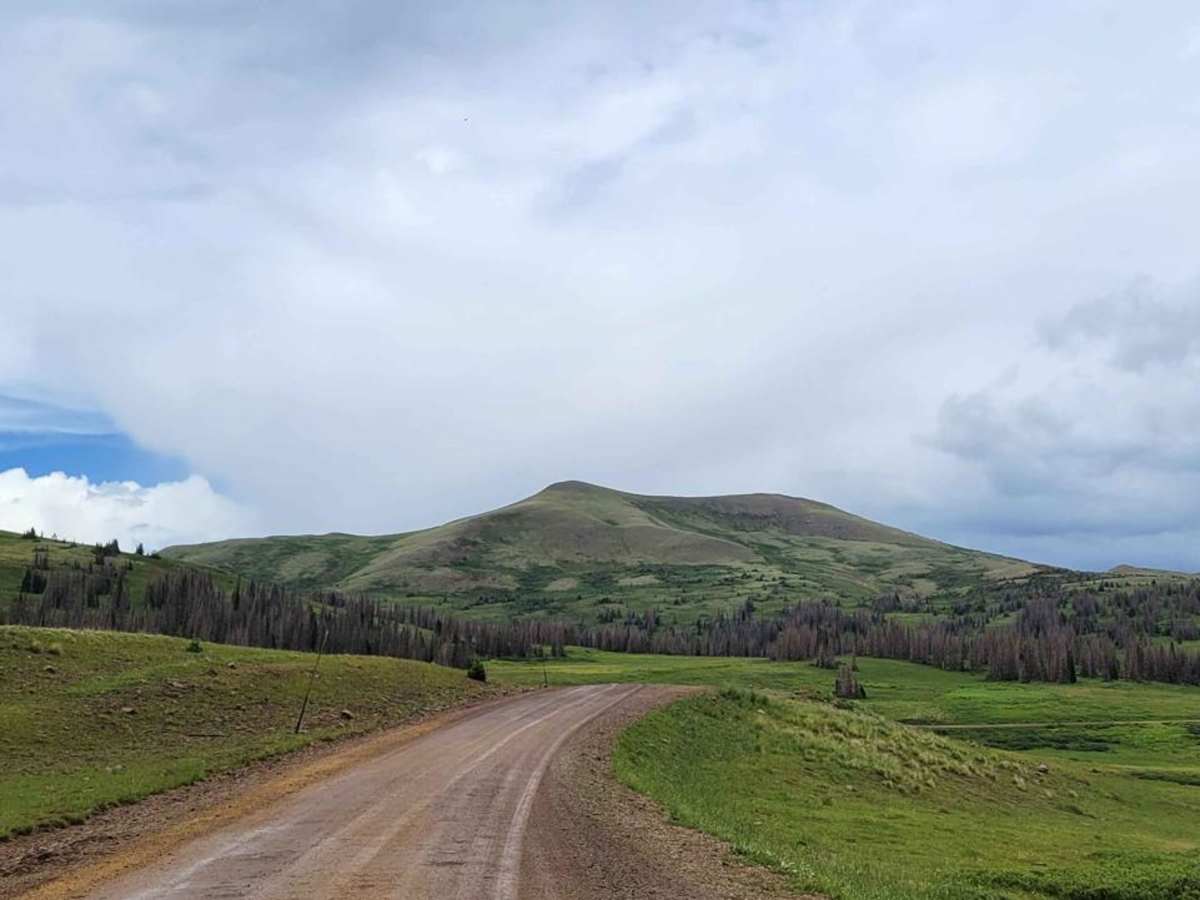
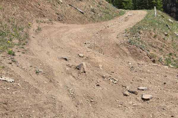
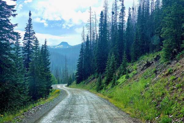
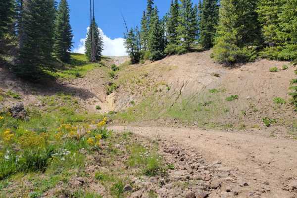
Most of this trail (92%) is graded, maintained dirt road traversable in any 2WD car, SUV, or truck in dry conditions. This is the most direct and shortest route from pavement (Del Norte) to the historic Summitville ghost town and mine, but it also has the option to take a spur trail (only 1.7 miles one way) to the summit of 12,600-foot Grayback Mountain for a great lunch spot with terrific views. The spur trail to the summit of Grayback is traversable in any 4x4 or AWD with moderate clearance. There are dozens of dispersed campsites along the parts of the trail that run through the National Forest (most of the trail). This is also a main thoroughfare through a popular area accessing hundreds of miles of National Forest roads and trails. Cell service is spotty along the route, but excellent at the higher elevations. This trail can be run in conjunction with several other connected trails for an extended wilderness overlanding experience.

Photos of Pinos Creek and Summitville Roads

Difficulty

The main route (92%) of this trail is a 1. The spur trail to the summit of Grayback Mountain is a 3 and is completely optional.

History

This is the easterly half of the route of old Elwood Pass. Elwood Pass was the sole direct connection between Del Norte and Pagosa Springs before Wolf Creek Pass was built. In the 1800s, the route took nearly a month to traverse. There are multiple historic mining cabins along the route.

Technical Rating

3

Status Reports

Add Status Report
Randy S
Jun 05, 2026
Open
Road from Platoro to Del Norte on this trail, some small rocky sections in the higher passes. Any 4wd could make it through when dry, not sure when wet. Most of the trail is pretty well graded and maintained. Did it on my BMW 1200GS.
Stephen Parks
Oct 07, 2025
Open
Still plenty of beautiful fall colors to see. plenty of camping near the north end, and a few up at the summit.

Pinos Creek and Summitville Roads Trail can be accessed by the following ride types:

  • Single Track
  • 50 Inch
  • 60 Inch
  • High Clearance
  • Full Width

Pinos Creek and Summitville Roads Map

The onX Offroad Difference

onX Offroad combines trail photos, descriptions, difficulty ratings, width restrictions, seasonality, and more in a user-friendly interface. Available on all devices, with offline access and full compatibility with CarPlay and Android Auto. Discover what you're missing today!

Open Trail Map