Trail Overview
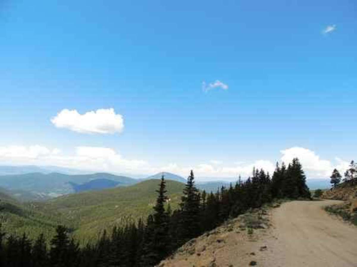
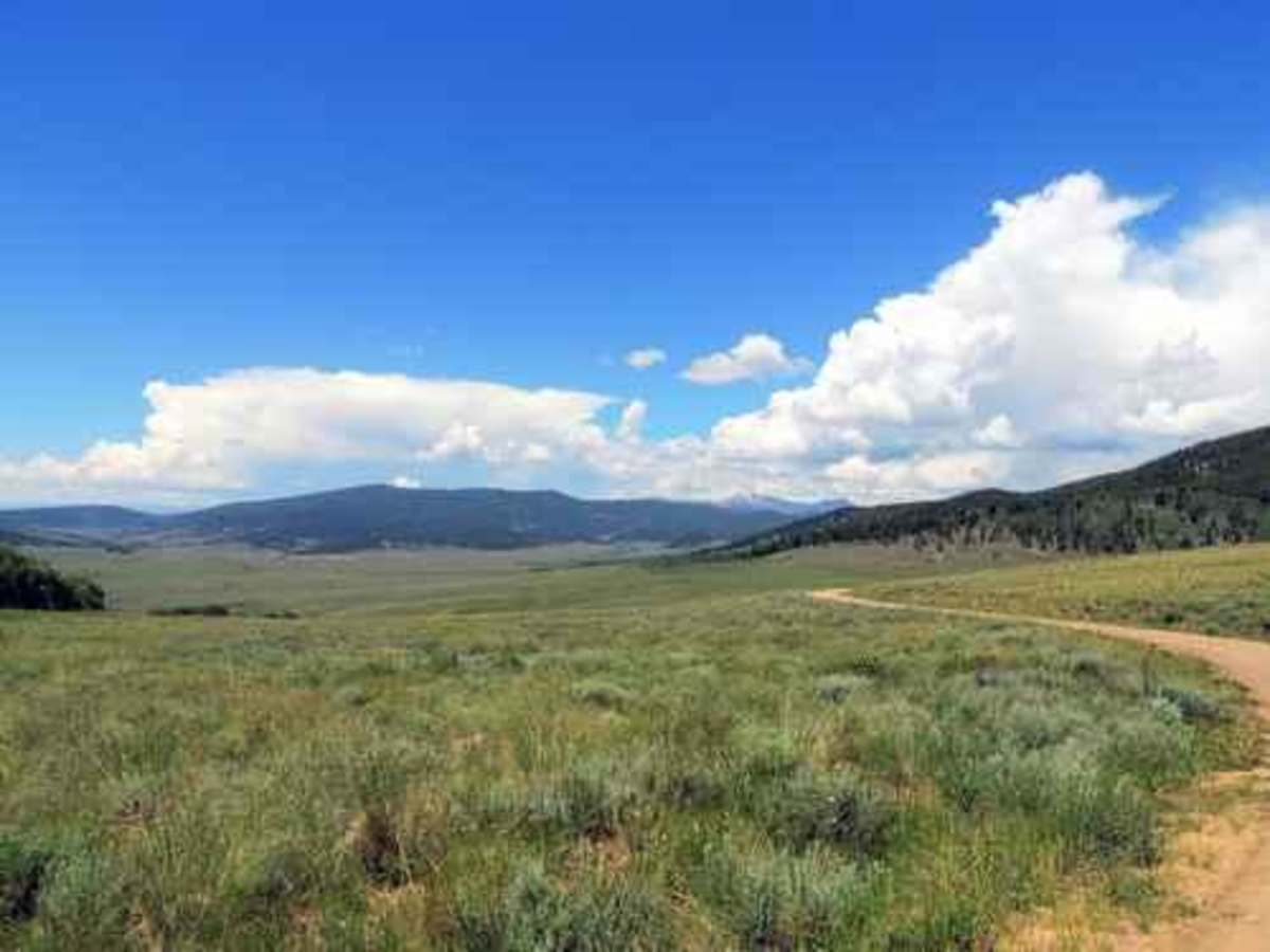
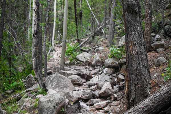
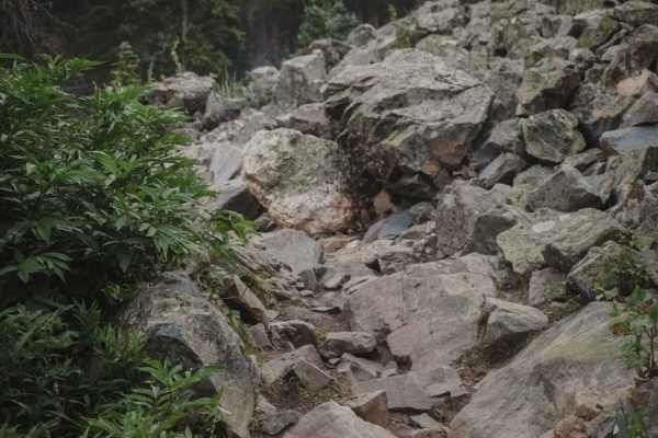
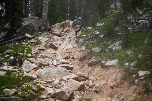
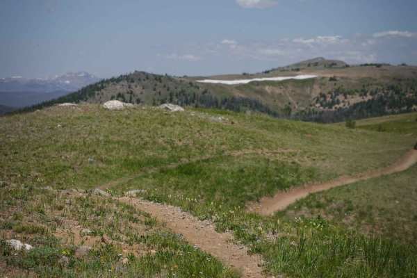
Not all trails need to be difficult Jeep trails! This is a pleasant drive over a historic pass, through a large park and a bunch of forests, and into the town of Pitkin. Old Monarch Pass is 11,375 feet in elevation, just a few feet higher than the modern one, but the road is much curvier. The road is well-graded and the scenery is quite nice at the pass. Drop down the western side, then head off through the woods to Waunita Park, a large open space surrounded by forest. It is mostly privately owned and used for grazing. Follow the track north and you will come to the Town of Pitkin. Be aware that the northern part of this segment is very, very rocky and rough. It is not at all difficult, but you certainly will want low tire pressure to cushion the bumps.
History
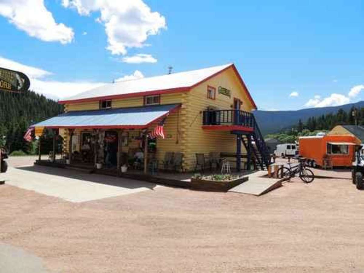
Pitkin was founded by Frank Curtiss, George P. Chiles, and Wayne Scott in early 1879. Pitkin, originally named Quartzville, was Colorado's first mining camp west of the Continental Divide. The continuous discovery of mines in the vicinity brought Pitkin to life and sustained it for many years. The minerals of importance were mainly iron, lead, gold, silver, and copper, and were of such richness that as a whole, they averaged higher than any camp in Colorado. Among the regular producers were the Cleopatra, Fairview, Tycoon, Nest Egg, Swiss Bill, and Silver Islet mines, from which some specimens assayed $18,000 per ton. Over thirty mines operated during the winter of 1880 compared to six the year before. By June of 1882, there were over 60 business houses and 300-400 residences, with fewer than a dozen of them empty. It had a population of over 1,000 and the surrounding hills were bursting. The early promise began to fade by the summer of 1882. Mineral veins that were rich near the surface began to play out at over 75-100 feet in depth and didn't justify further development. By the spring of 1883, Pitkin had lost half its population. During the late 1880s, three major fires and three epidemics also contributed to Pitkin's decline. A short revival in silver mining took place in 1891 and 1892 but ended with the Silver Panic of 1893. The Roosevelt Mine three miles below Pitkin opened in 1907 with a great deal of promise and operated into the 1930s. But low-grade ore and controversy stopped its operation. The 2020 census showed a population of 137.