Trail Overview
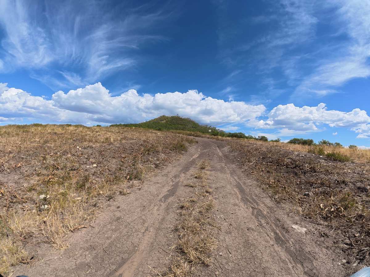
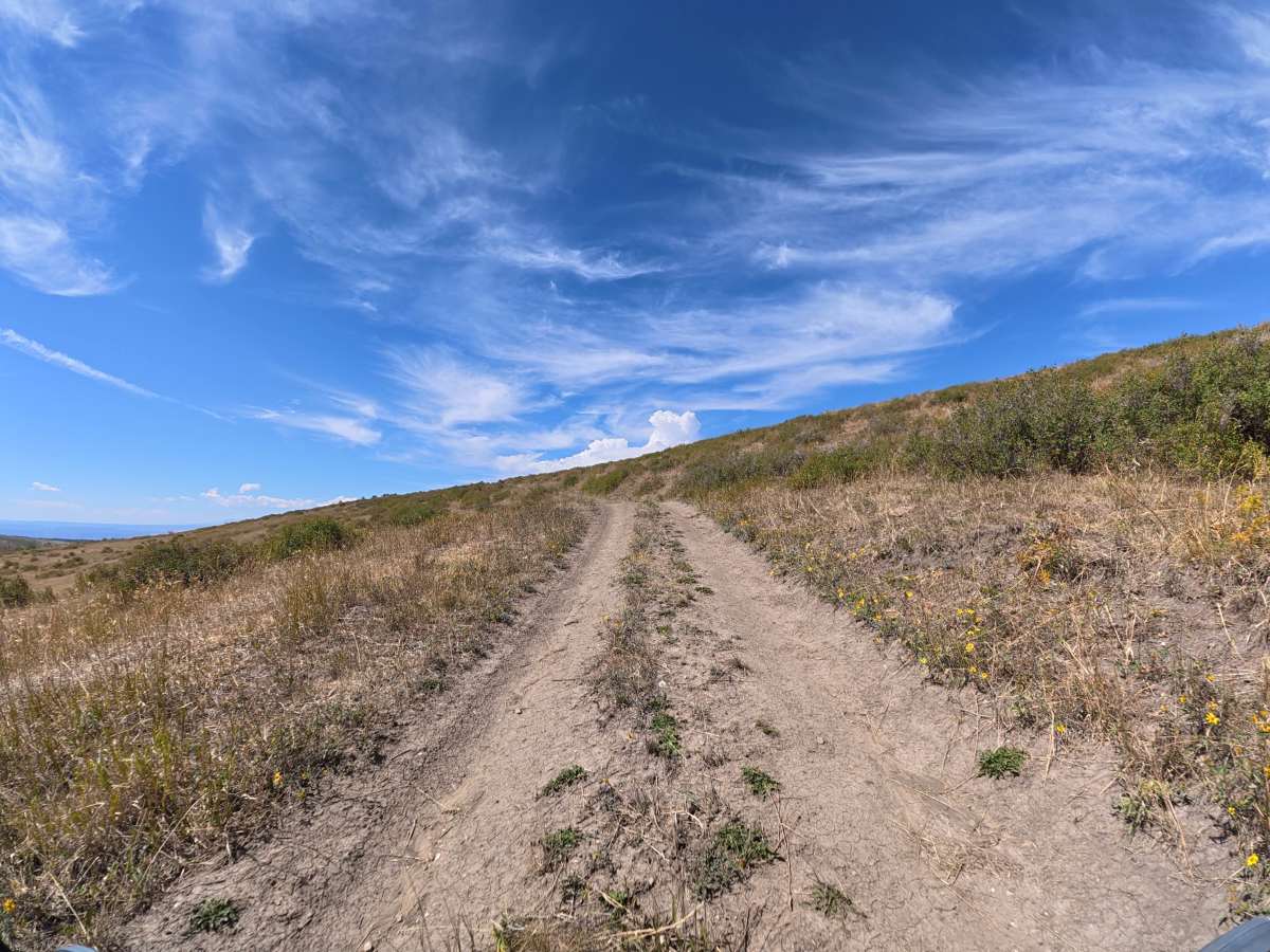
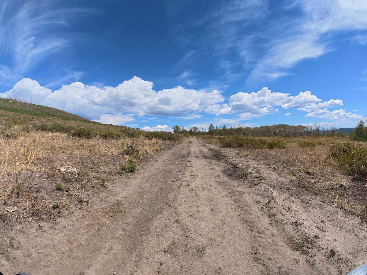
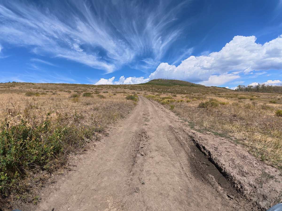
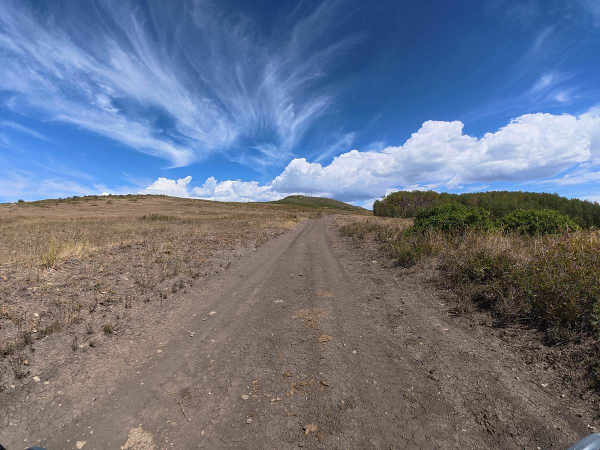
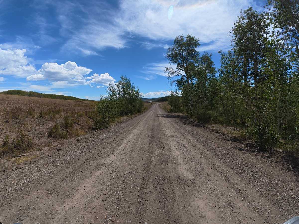
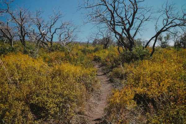
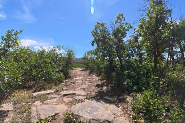
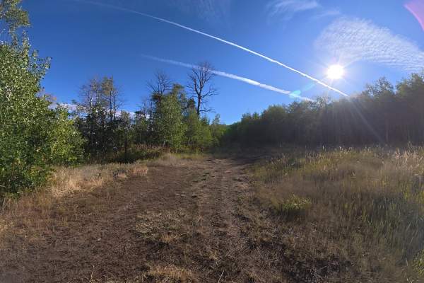
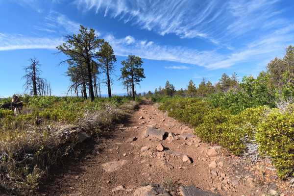
This short, scenic trail climbs into the forest and onto Uncompahgre Butte, surrounded by dense aspen trees. The trail is mostly dirt with ruts and is wide enough for vehicles to pass. At 0.3 miles, there is a large, level campsite for up to 12 vehicles with excellent views of the surrounding forest and aspens. The trail ends at a cell phone tower.
Difficulty
This trail is rated Level 2 because it is short, relatively easy, and wide enough for vehicles to pass, with only moderate ruts along the route.
History
The Uncompahgre National Forest was established in 1905 and has a long history tied to mining, logging, ranching, and early settlement in Colorado’s San Juan Mountains. The region was especially shaped by the late-1800s mining boom, with historic towns, mines, and roads still found throughout the forest today.