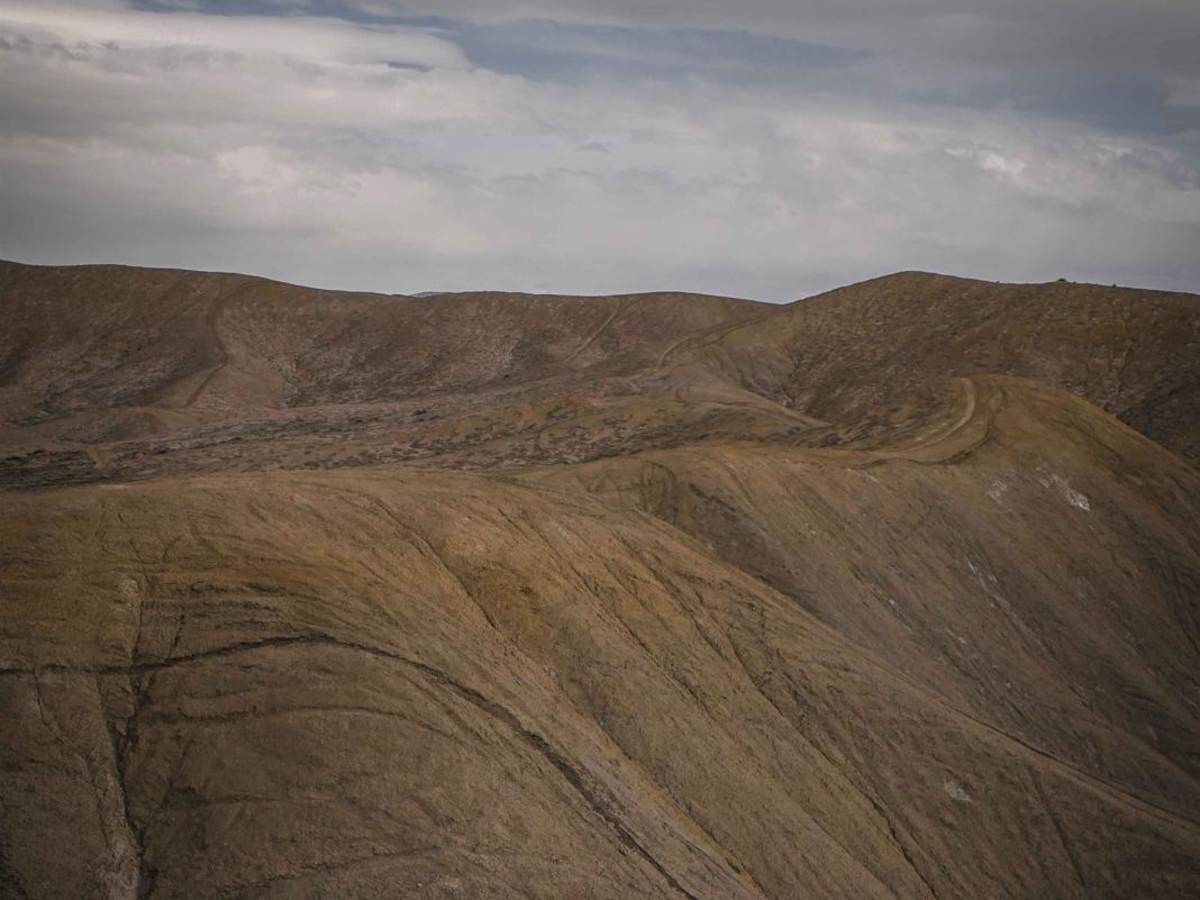
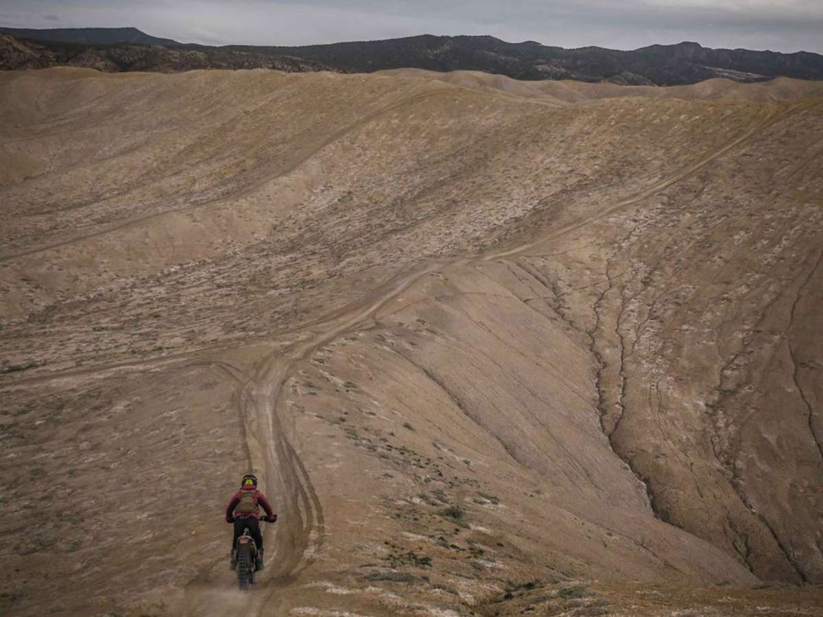
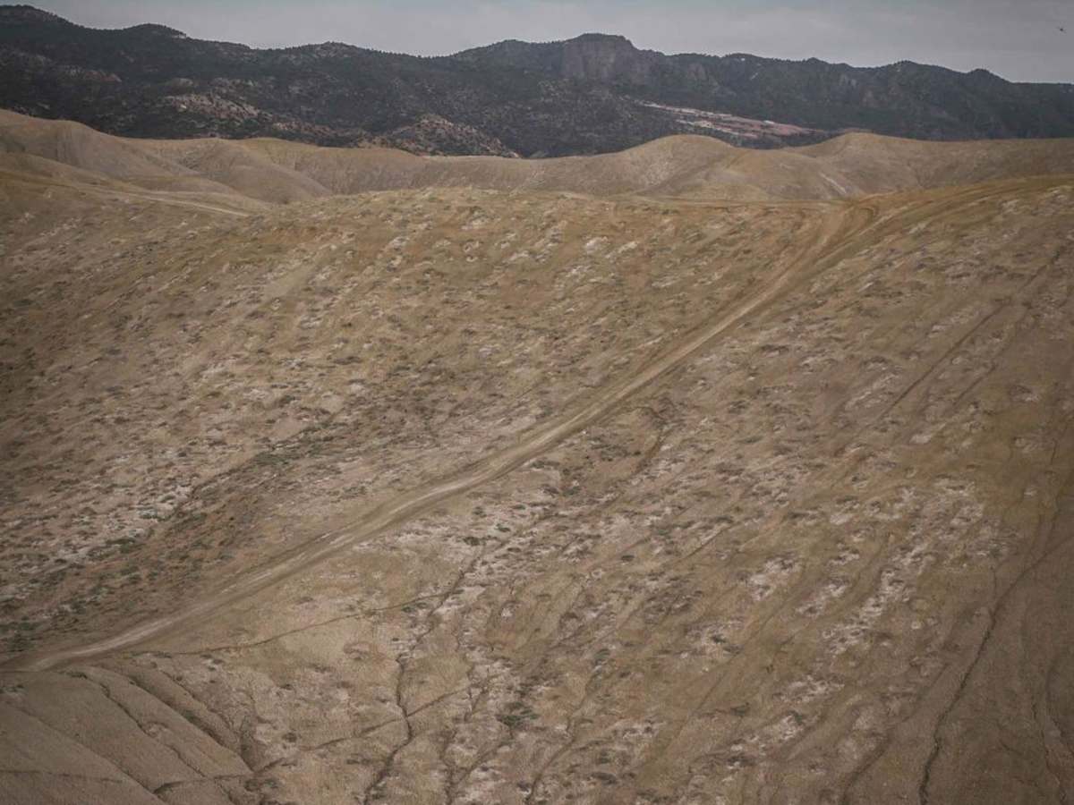
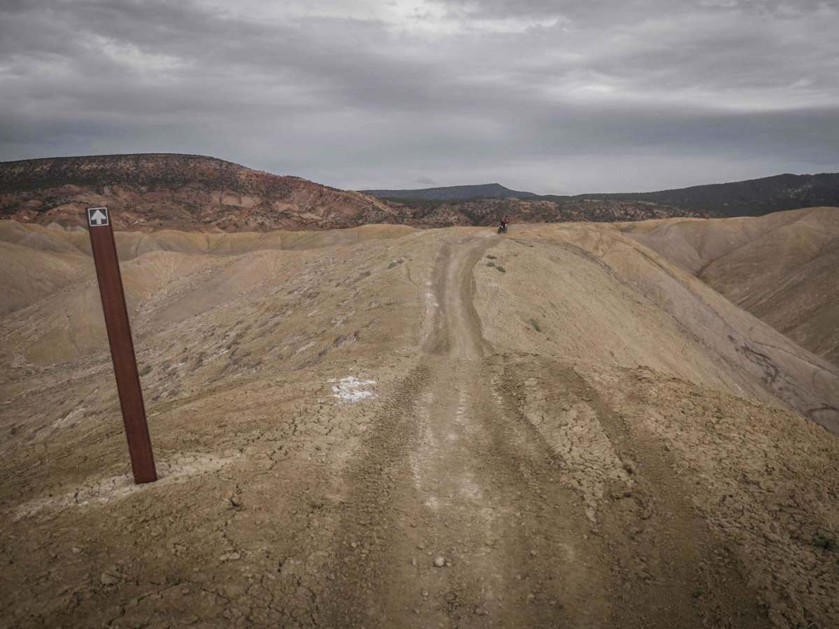
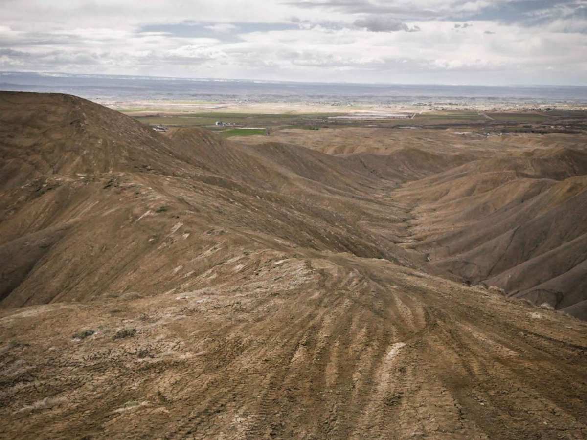
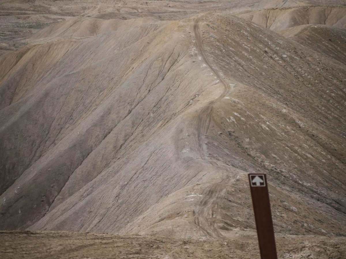
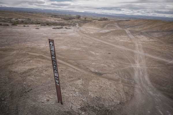
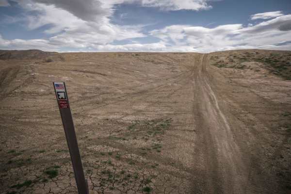
Trail Overview
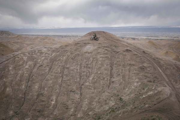
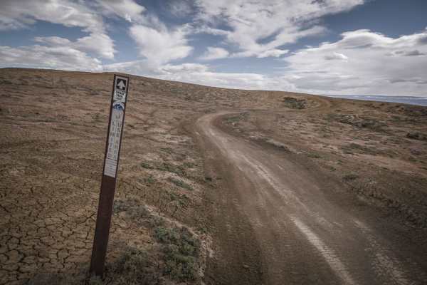
This unmarked single track is part of the Peach Valley Recreation Area and is a fun ridge line trail along the adobe clay badlands that make up much of this trail system. This trail is relatively easy compared to some of the other ridge line trails in this trail system because the trail is pretty wide atop the ridges. It's at least a couple feet wide, and has easier hill climbs and descents that are not as steep as some of the more challenging adobe trails. This is probably one of the more highly trafficked trails since it is right by the Peach Valley Staging Area. The trail departs from the Highway One ATV trail, crosses lots of other intersections, and even enters an open riding area. There are a few markers indicating which way to go for this trail to help you follow it. The trail keeps going on skinny ridge lines with steep drop-offs on both sides but has no big obstacles or rocks. It joins with the Peach Valley ATV loop about halfway through for a few feet, then turns left to keep going on the singletrack. You have a really good view of the red rocks on the mesa in front of you while riding this one. You're likely to see other riders out here, especially on a busy weekend, or even after work on a late spring day.