Trail Overview
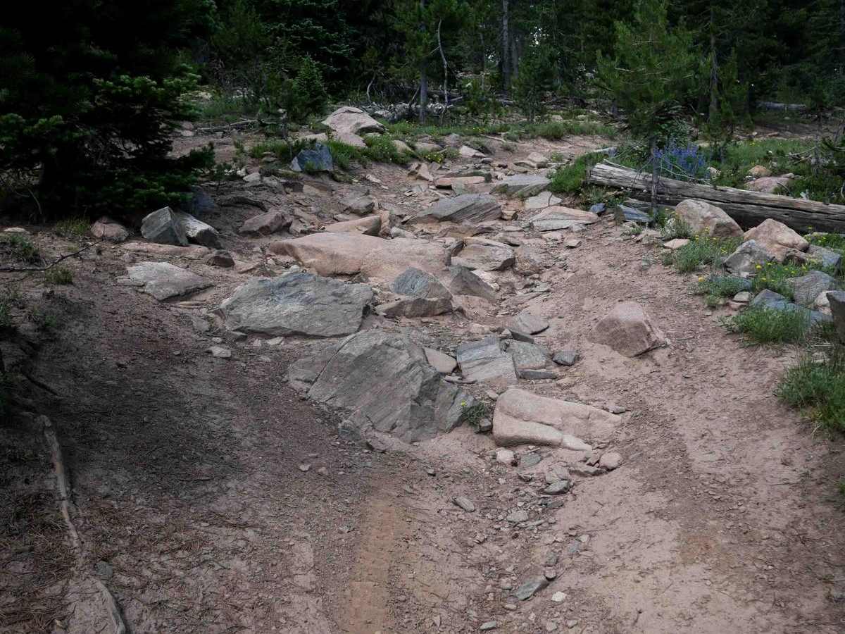
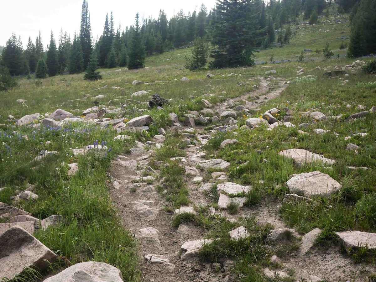
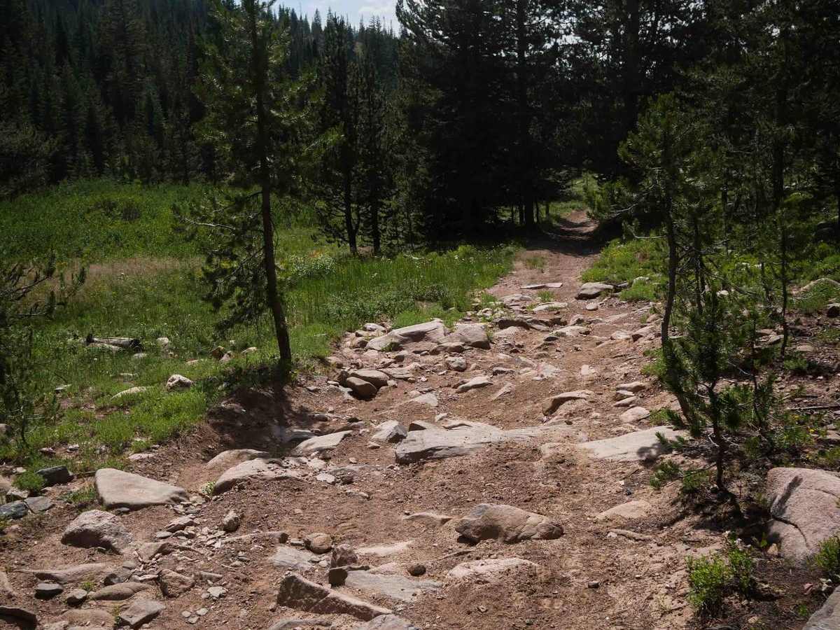
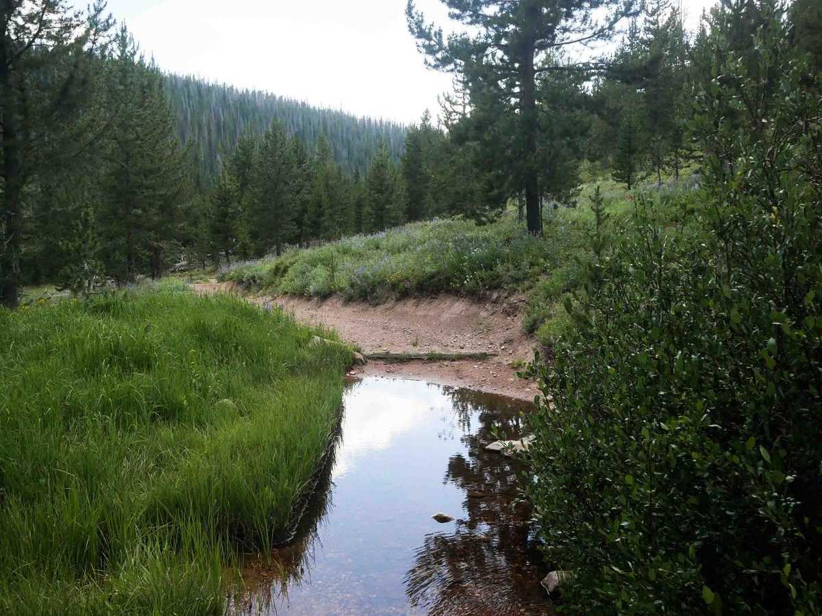
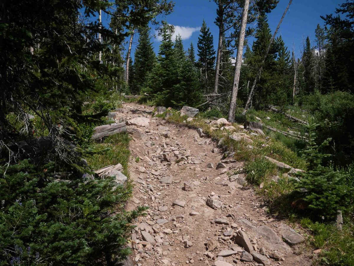
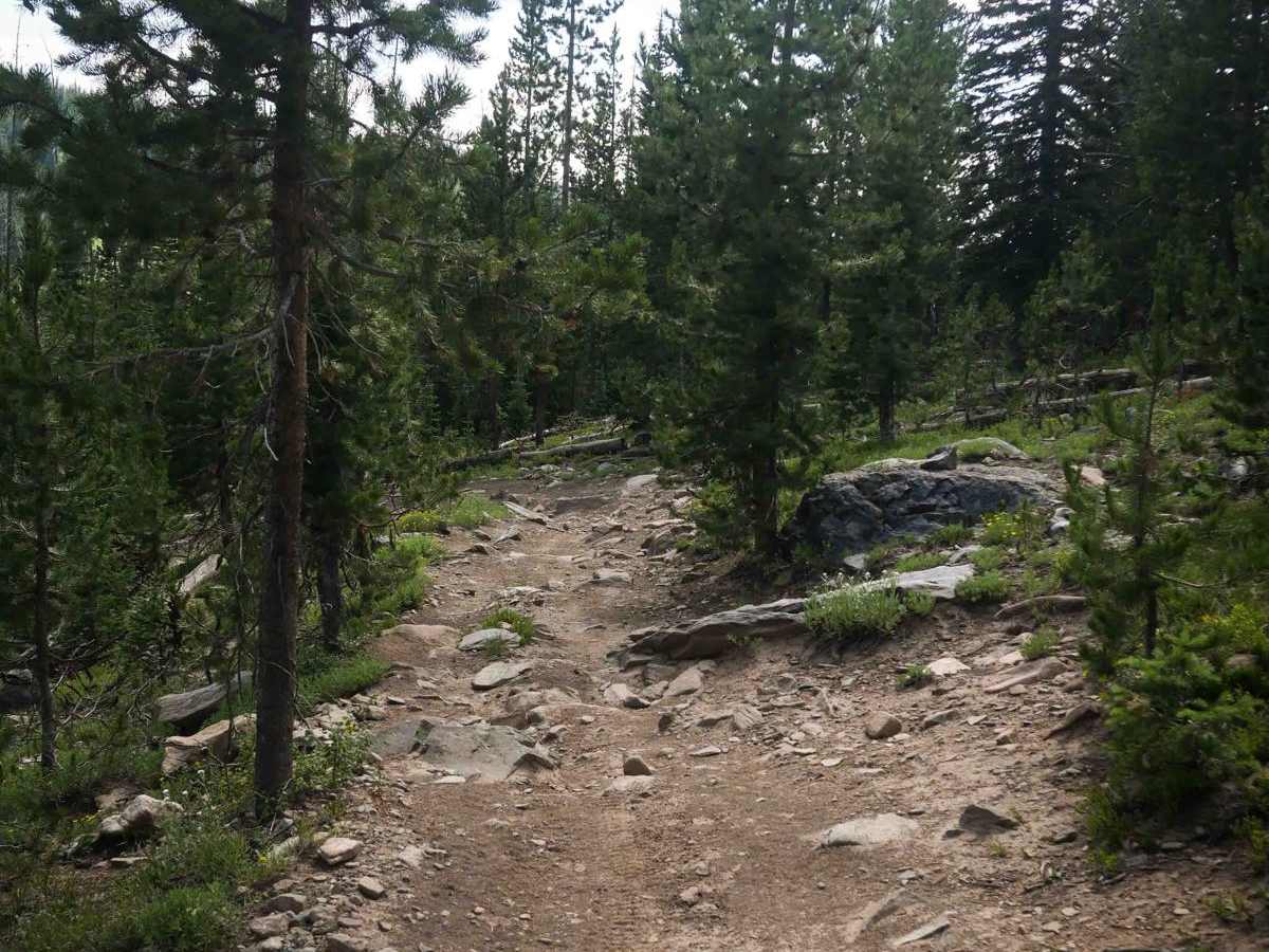
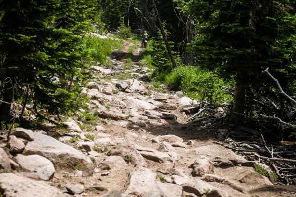
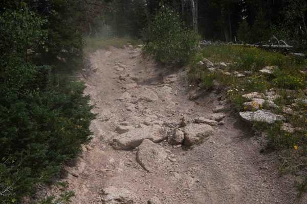
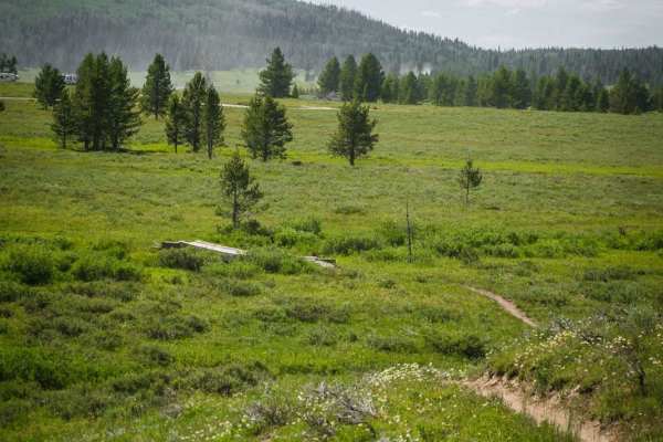
Hare is a 2.6-mile-long rocky ATV trail that descends from the Wyoming Trail on its east end to Forest Road 520.1C on the west end, dropping over 1,000 feet in elevation. The route travels through open meadows with large embedded rocks, making for a consistently bumpy and slower ride, especially for quads. The descent is steady and includes several rocky turns and wide switchbacks filled with loose cobble and occasional small boulders, forming short rock garden segments. Puddles and minor water crossings appear along the route as the trail enters a burn area with lots of cut logs and forestry work, following a creek downhill through a mix of steeper and more gradual segments. The entire route remains rocky from start to finish. The trail ends at a forest road, making it easy to connect to nearby ATV routes like Manzanares. This trail is closed seasonally from 12/2 to 6/14.
Difficulty
This is an intermediate trail due to its sustained rocky conditions, embedded boulders, and loose, cobbled switchbacks. The elevation loss and uneven surface contribute to the moderate challenge throughout the descent.