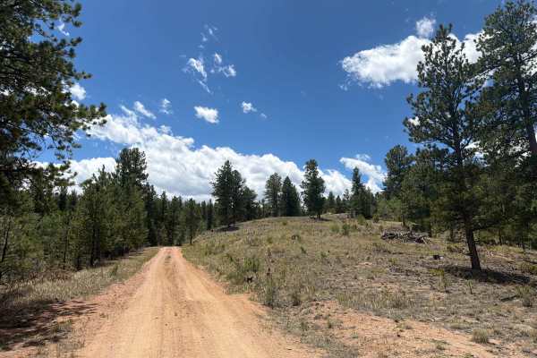
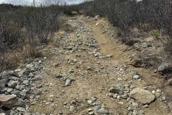
Figure 9 Road

Total Miles1.3
Technical Rating
3Easy
Best TimeSpring, Summer, Fall
Trail TypeFull-Width Road
Accessible By
Open Trail Map

Trail Overview

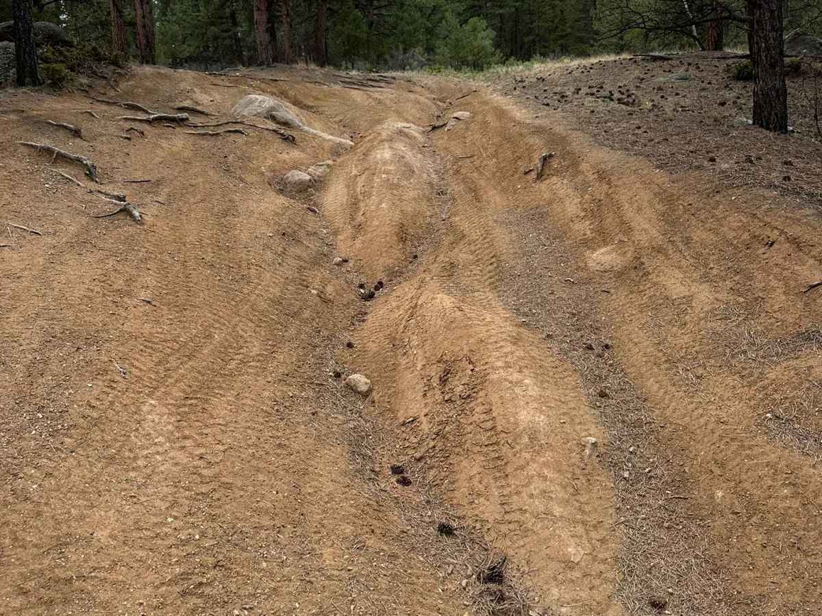
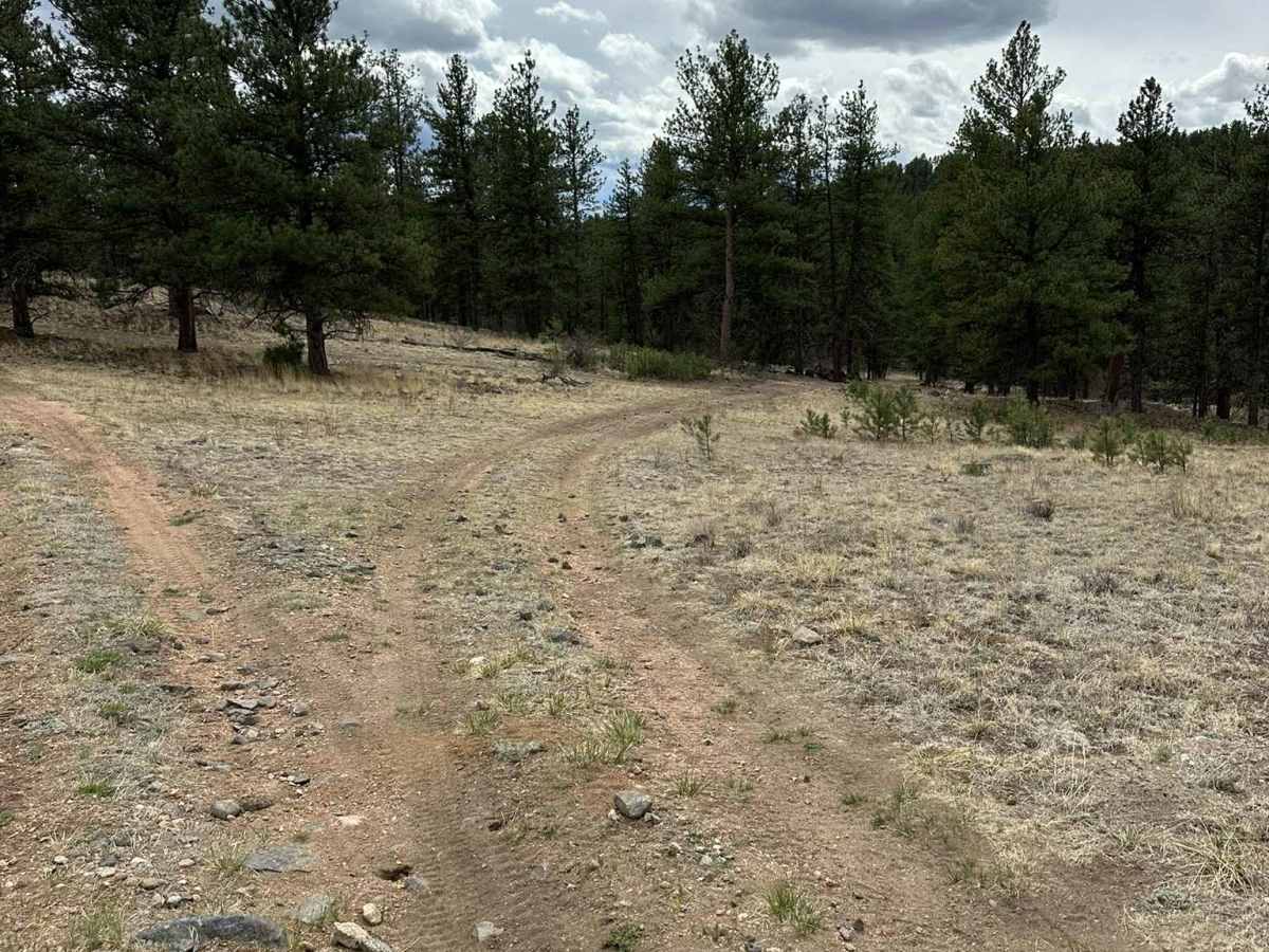
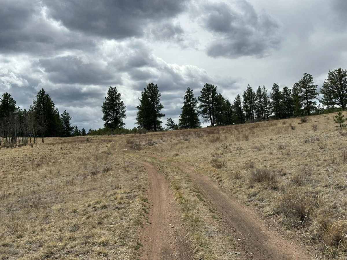
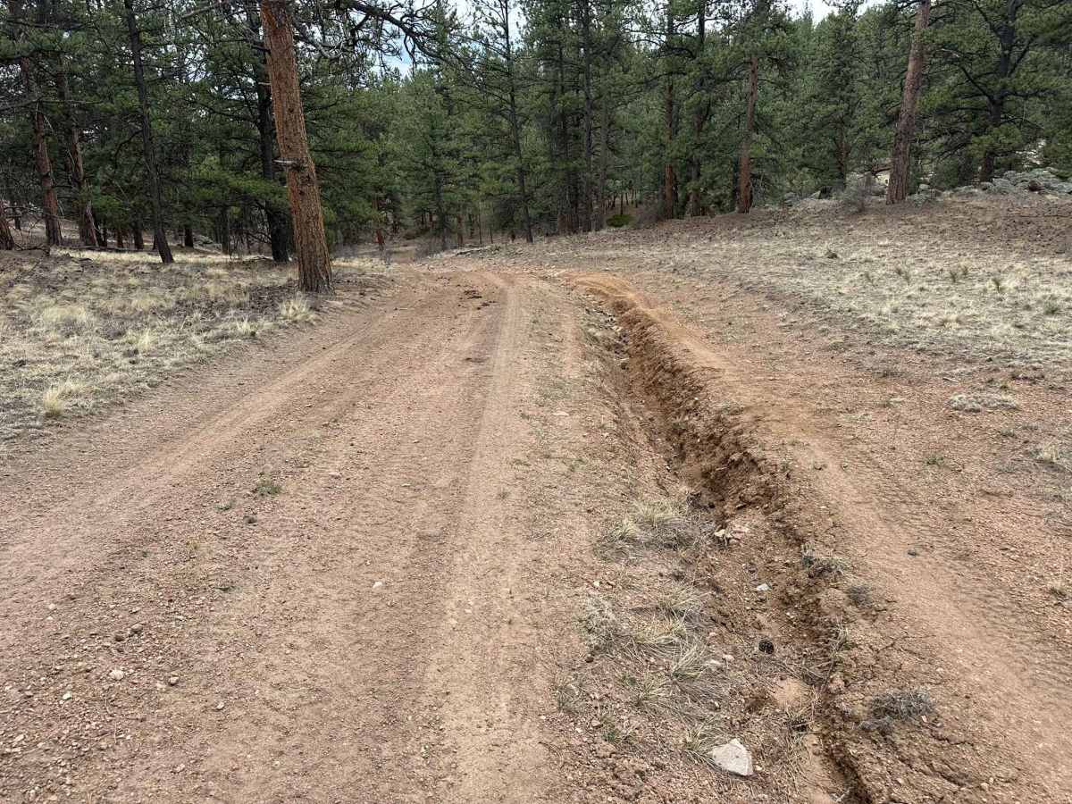
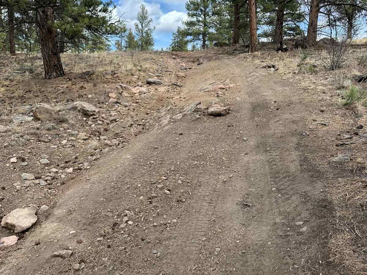
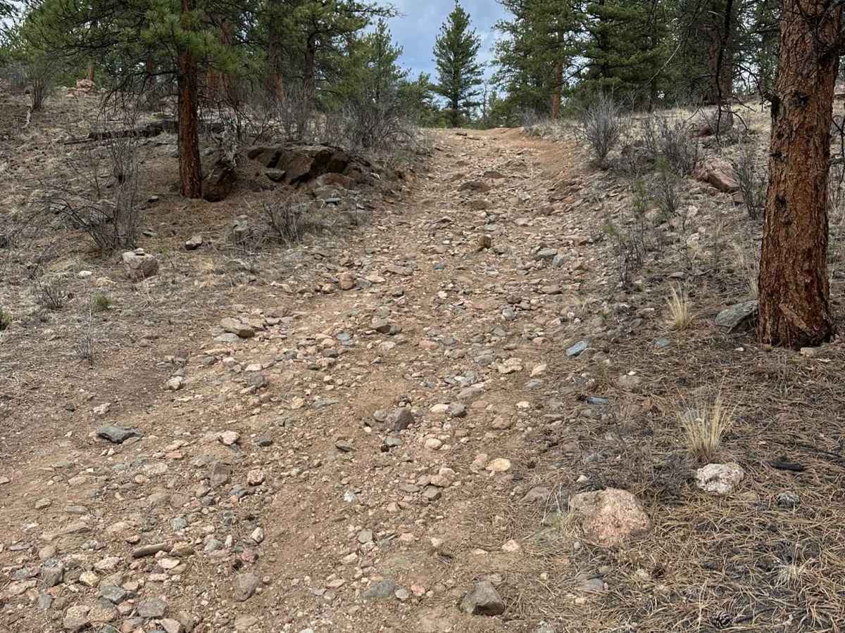
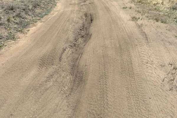
Figure 9 Road is a short, hard-packed dirt road with several major washouts. The largest has a bypass, but driving through it would require a high-clearance 4x4 and very careful maneuvering. There is one washout without a bypass that will require precise wheel placement to traverse. A high-clearance 4x4 is recommended, though a competent driver in a capable AWD vehicle could likely make it through. There are also two steep sections with loose rocks. There are no campsites along this route, and cell service is spotty. There is a gate at the south end. Please close it behind you.

Photos of Figure 9 Road

Difficulty

The washouts a steep rocky sections are the reason for the 3 rating. High clearance 4x4 is recommended.

Technical Rating

3

Status Reports

Add Status Report
shackle-ton
Jul 12, 2026
Temporarily Closed
Closed Gate
The gate on the south end is a new locked gate. If you come from Confirmed Road, like I did on a larger ADV moto, you will have an epic trying to get back the way you came. I ended up dragging my moto under the gate.

Figure 9 Road Trail can be accessed by the following ride types:

  • Single Track
  • 50 Inch
  • 60 Inch
  • High Clearance
  • Full Width

Figure 9 Road Map

The onX Offroad Difference

onX Offroad combines trail photos, descriptions, difficulty ratings, width restrictions, seasonality, and more in a user-friendly interface. Available on all devices, with offline access and full compatibility with CarPlay and Android Auto. Discover what you're missing today!

Open Trail Map