Trail Overview
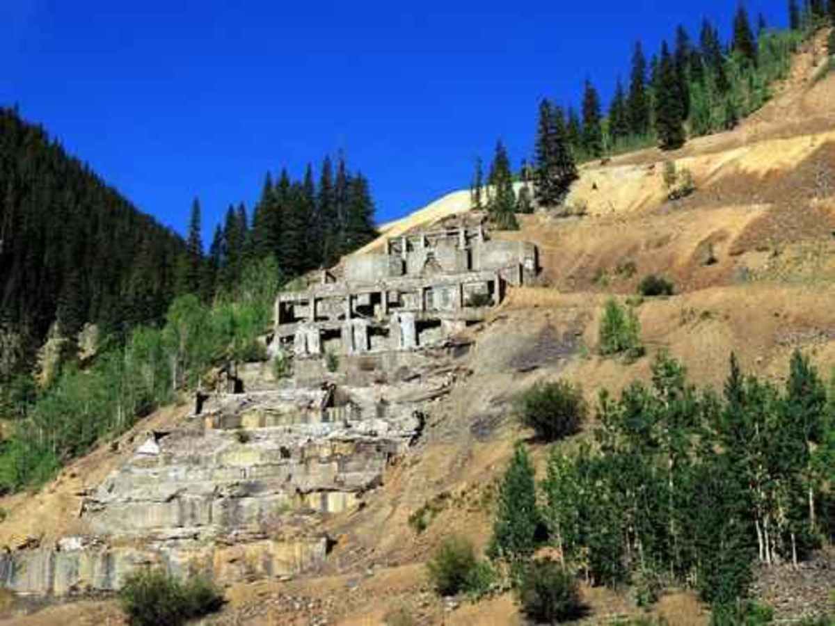
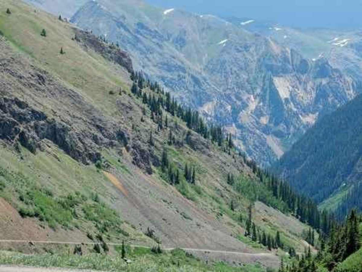
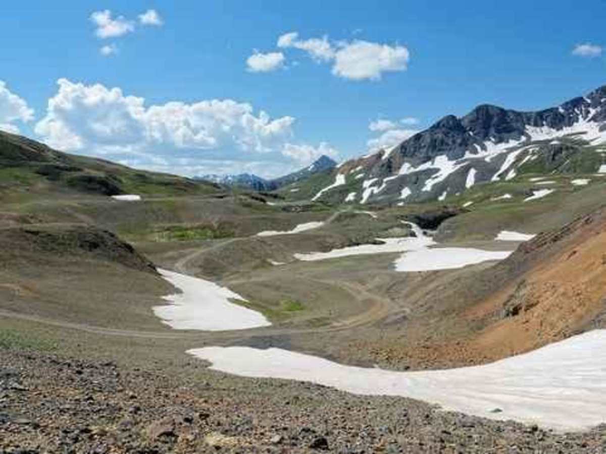
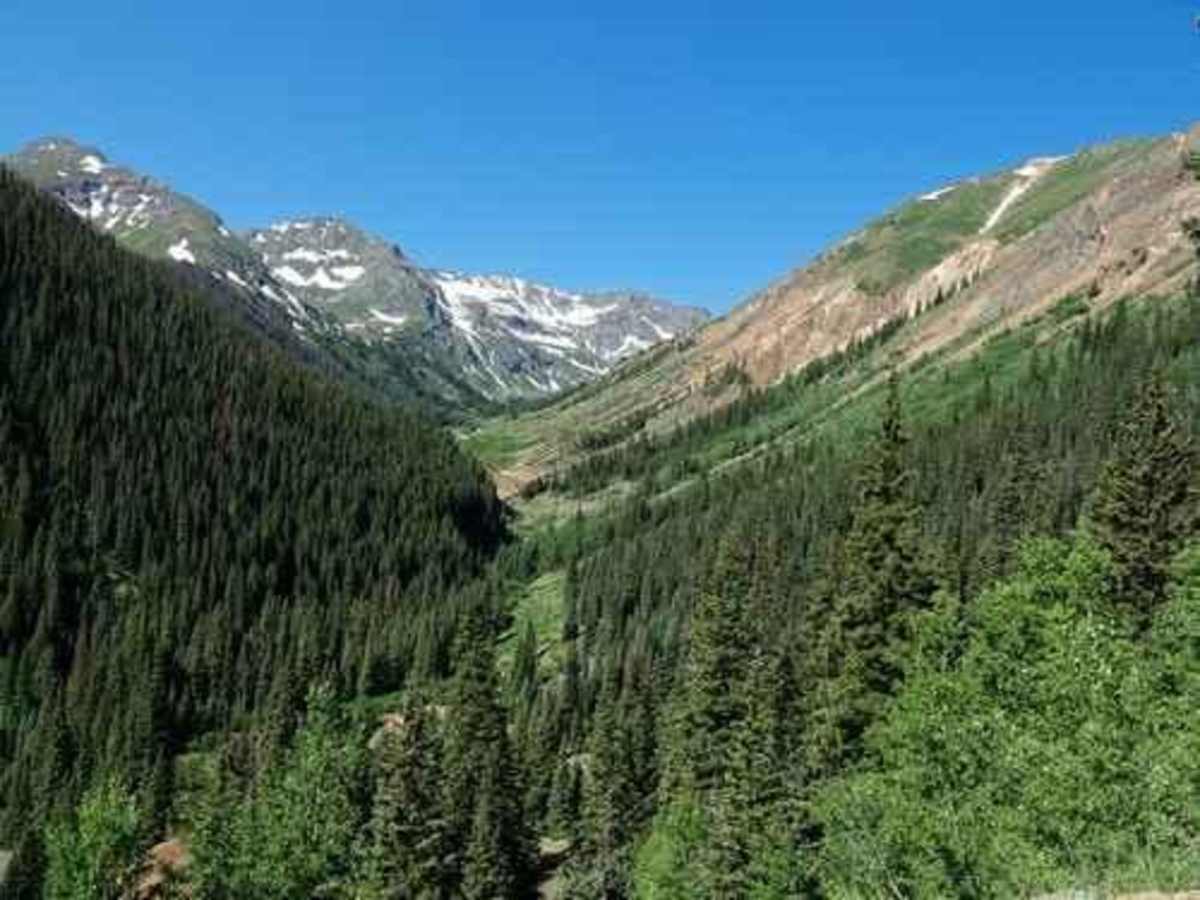
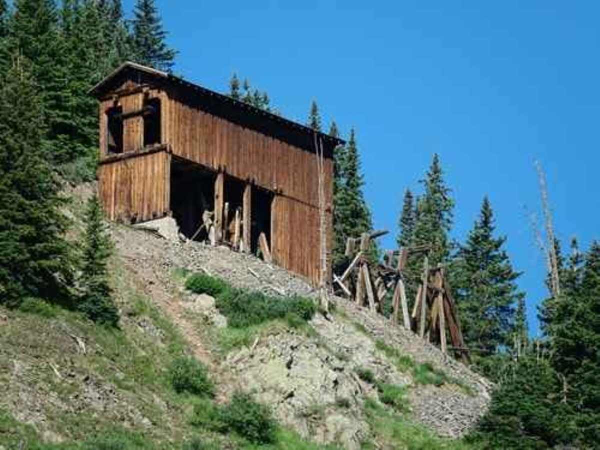
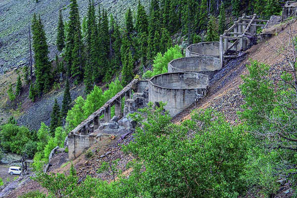
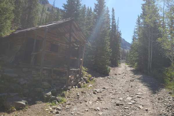
Eureka Gulch is a story about the Sunnyside Mine and associated Sunnyside Mill, a disappearing lake, and about a 2015 mine spill by the EPA that contaminated the Animas River for hundreds of miles. The Eureka Gulch Jeep trail takes off from the road to Animas Forks, about a quarter mile above the massive foundations of the Sunnyside Mill, at the Eureka townsite. The Sunnyside Mill was a monster in its heyday! Go up the road behind the mill and you will soon leave the South Fork of Animas River and enter Eureka gulch. Once you get past the tree line, keep an eye out on the south side of the gulch for remains of tram towers, the angle station, where the buckets changed direction, and the tension station, which kept the cables taught. The angle station was built as part of the second Sunnyside tram. It was necessary in order to turn the tramway cable, which came across the gulch from the basin above, to run down the gulch to the new mill. The tension station was used to keep tension on the cable span from the lip of the basin across to the south wall of the gulch. We were in the area when the spill occurred. There was a lot of water that came out of the Gold King Mine. Head back down the gulch and view the upper side of the Tram angle house on your way.
Difficulty
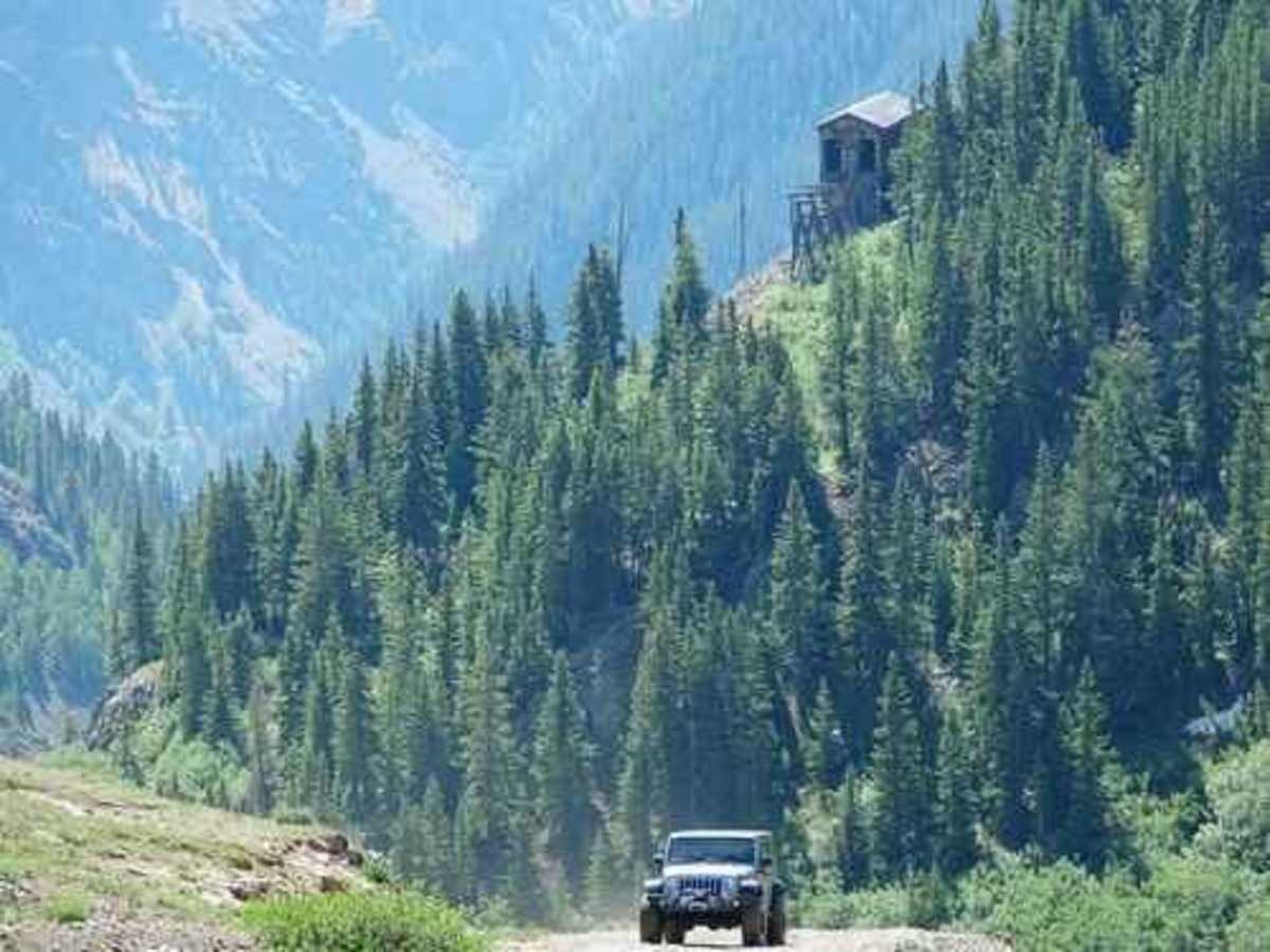
Uneven, rutted dirt trail with loose rocks, sand, erosion, and washes. Potential water crossings up to a foot deep, mud holes, and obstacles up to 18", including ledges and short, steep grades. Roads are typically one vehicle wide with places to pass.