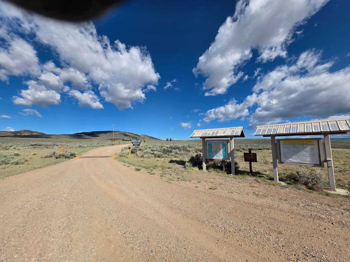
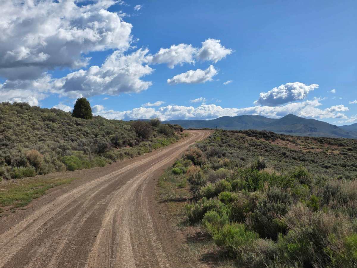
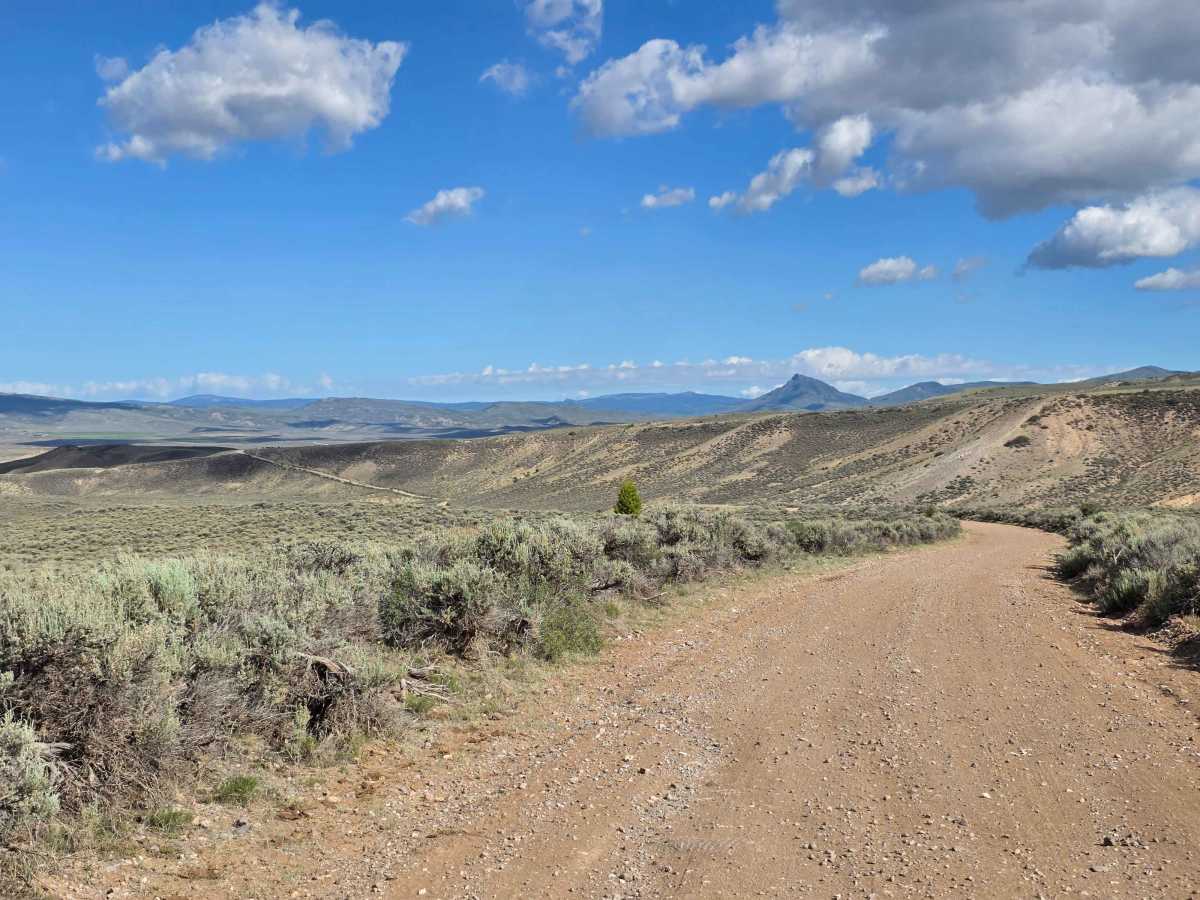
Trail Overview
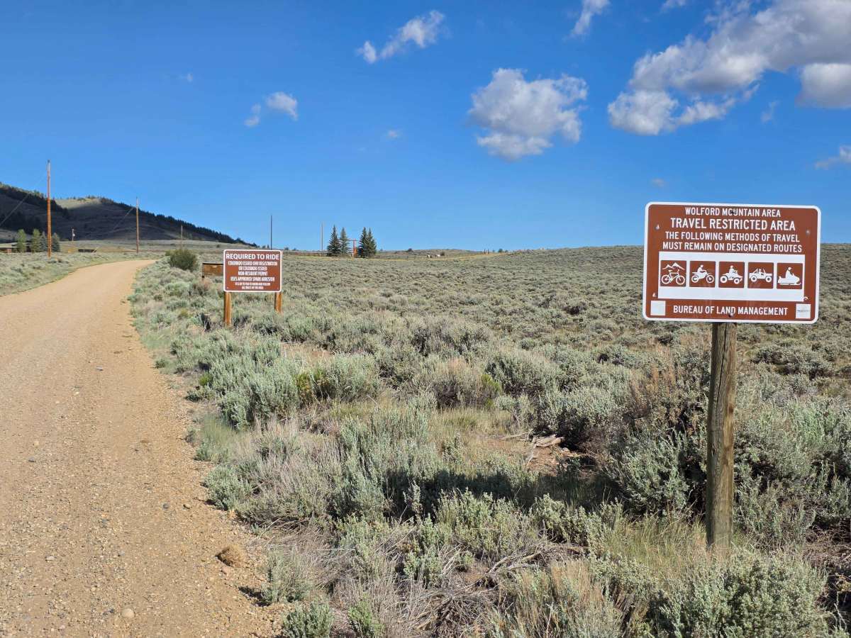
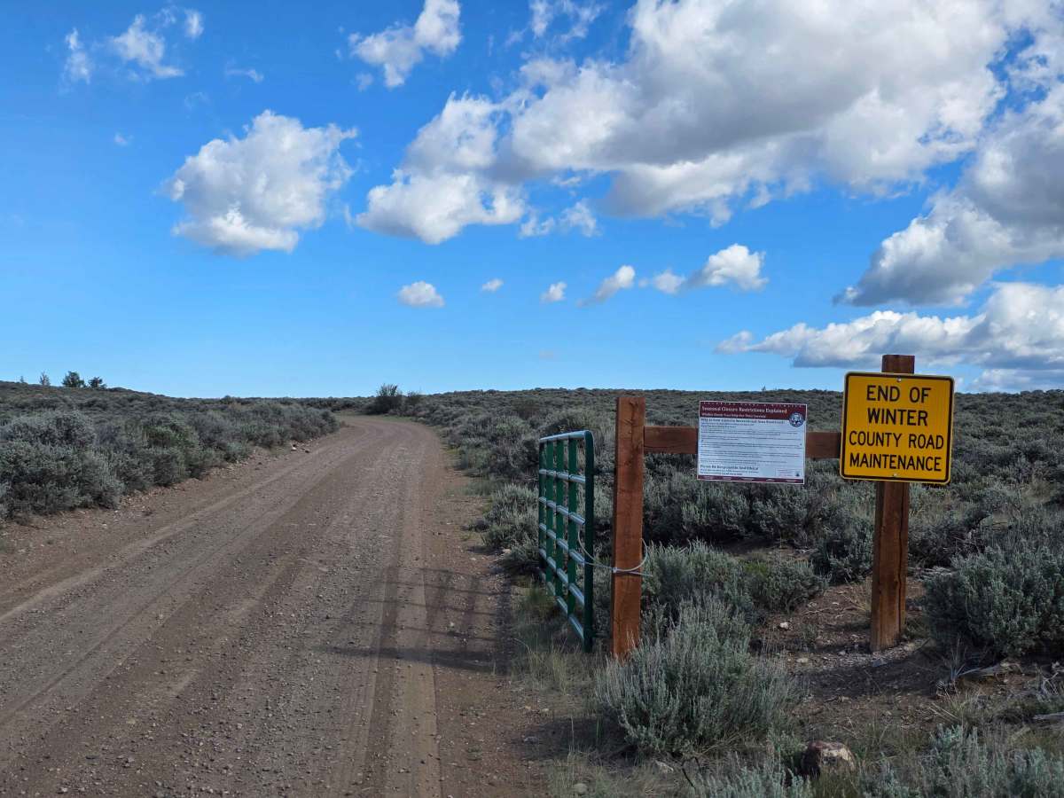
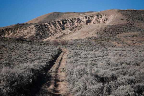
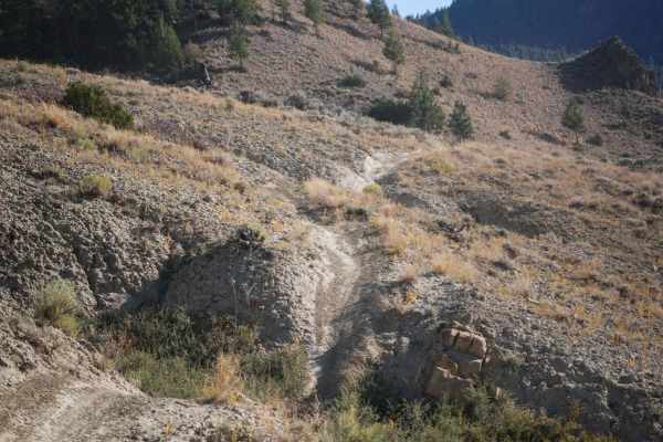
Count Rd 25 is a 7 mile dirt road through BLM land and the Wolford Mountain OHV area. An OHV registration is required to ride through here. This road can be approached from either hwy 40 on the west, or County Rd 22 on the east. If you enter from the west, you will almost immediately be greeted by the only true obstacle on this road, a deep rut (see last picture). It is possible to drive around the deepest part, but there is no avoiding it. This rut is right on the border between the private land you have to drive through (via the public County Rd 25) and the public lands. To avoid this, you can drive Country RD 25 from the east and still enjoy the majority of the route. This will trim your route by a little less than a mile.
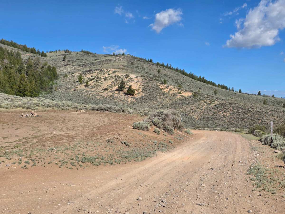
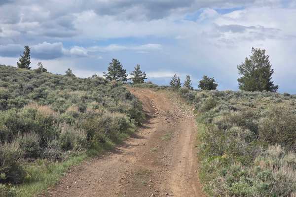
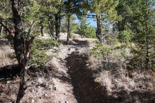
The road is all dirt with some rocks, some steep climbs and lots of cows. Campsites and fire rings pepper the sides of the road as so several ATV and hiking trails.
Difficulty
The entire route is dirt except for a deep rut at the entrance to BLM land 1.4 miles from the west entrance. There is also a small potential of a water crossing about the distance in if it has rained really hard in the last few hours. Other than those two things, the route is level 1 difficulty, and can be driven in most passenger vehicles if the weather is nice.