Trail Overview
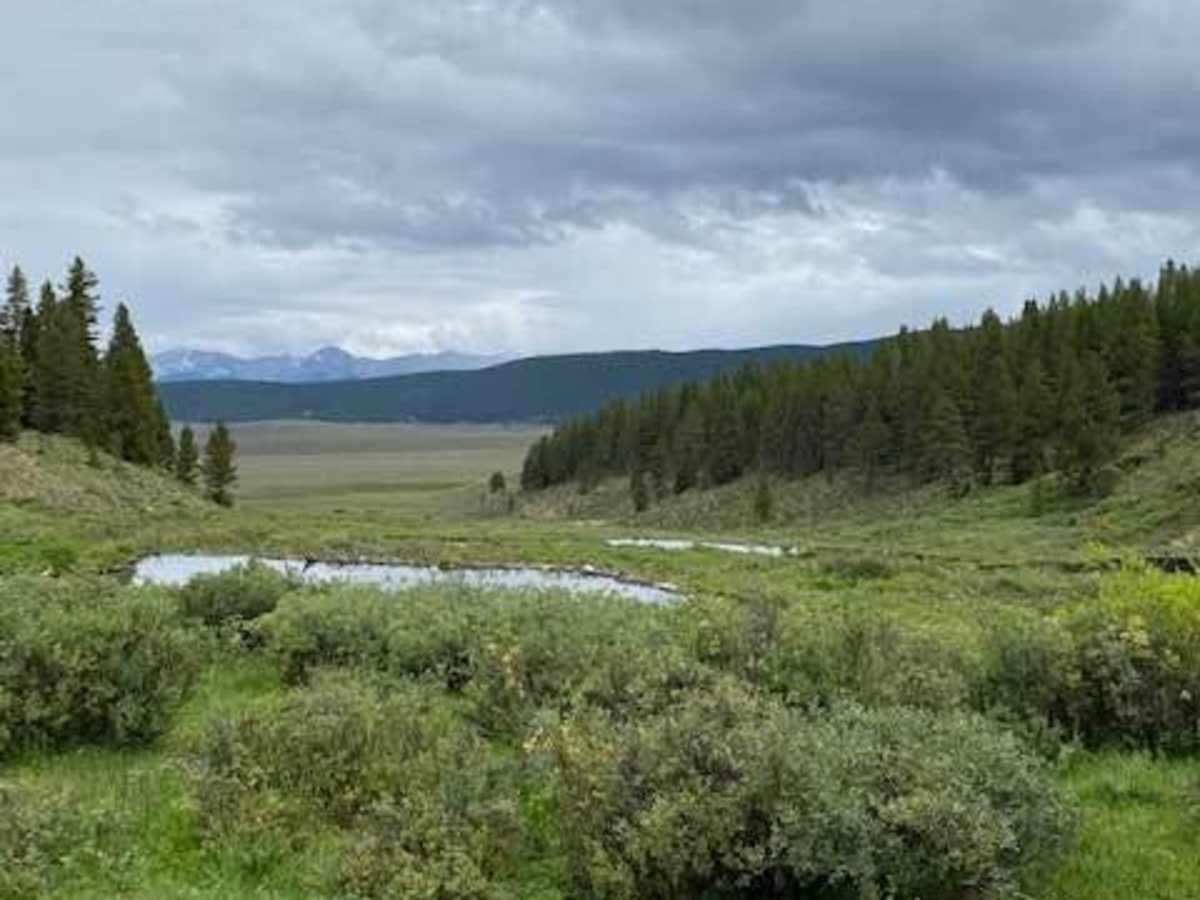
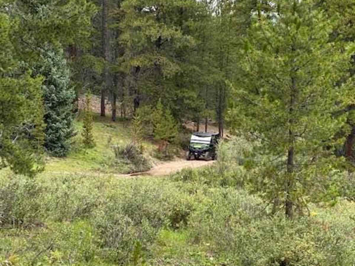
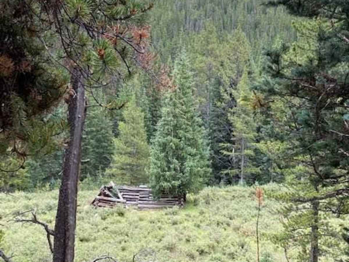
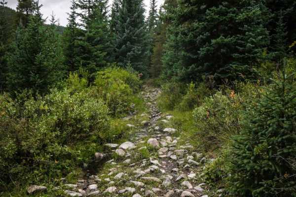
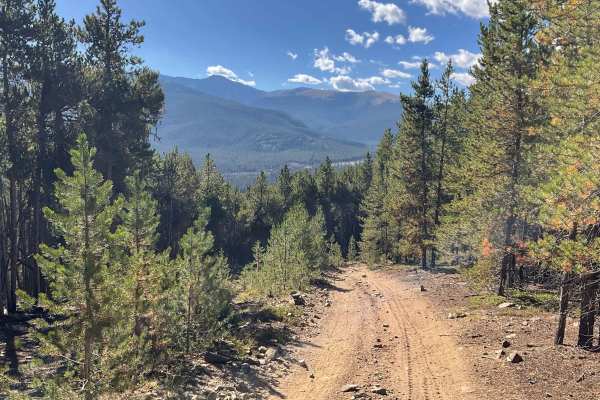
Cameron Creek offers an engaging ride for intermediate offroaders, combining scenic rolling sand hills with a rugged trek through a rocky gulch. The route spans approximately 3.3 miles, starting with playful, sandy terrain that provides exceptional views over Union Park before dropping down along Cameron Creek. As the trail progresses, the difficulty increases from an easy technical rating of 3 to more challenging sections characterized by large rocks, boulders, and exposed roots. Vehicles with high clearance and four-wheel-drive or capable SxSs are highly recommended to safely navigate these obstacles as the path winds past historic mining cabins and alongside a narrow stream home to cutthroat trout.
The trail reaches its maximum elevation of 10,470 feet, climbing about 687 feet from its starting point at 9,870 feet. The route eventually ends near a private property boundary where the original road is blocked, forcing riders to navigate directly through a gulch. Those looking to explore the area can easily connect Cameron Creek with nearby routes such as Union Park, Cross Mountain View, and Slaughter Gulch for a full day of riding. The trail is typically accessible from late spring through autumn, depending on snowpack in the high-elevation Gunnison National Forest area.
History
The trail is located in an area with a rich history of mining and ranching. Historic mining cabins can still be seen along the route, and active cattle ranching continues in the surrounding Union Park area today.