Burns Gulch Road

Total Miles1.9
Technical Rating
6Moderate
Best TimeSummer, Fall
Trail TypeFull-Width Road
Accessible By
Open Trail Map

Trail Overview

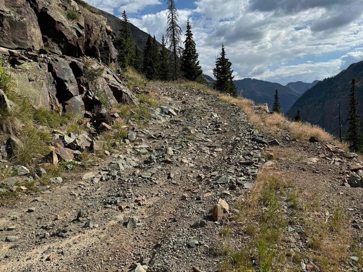
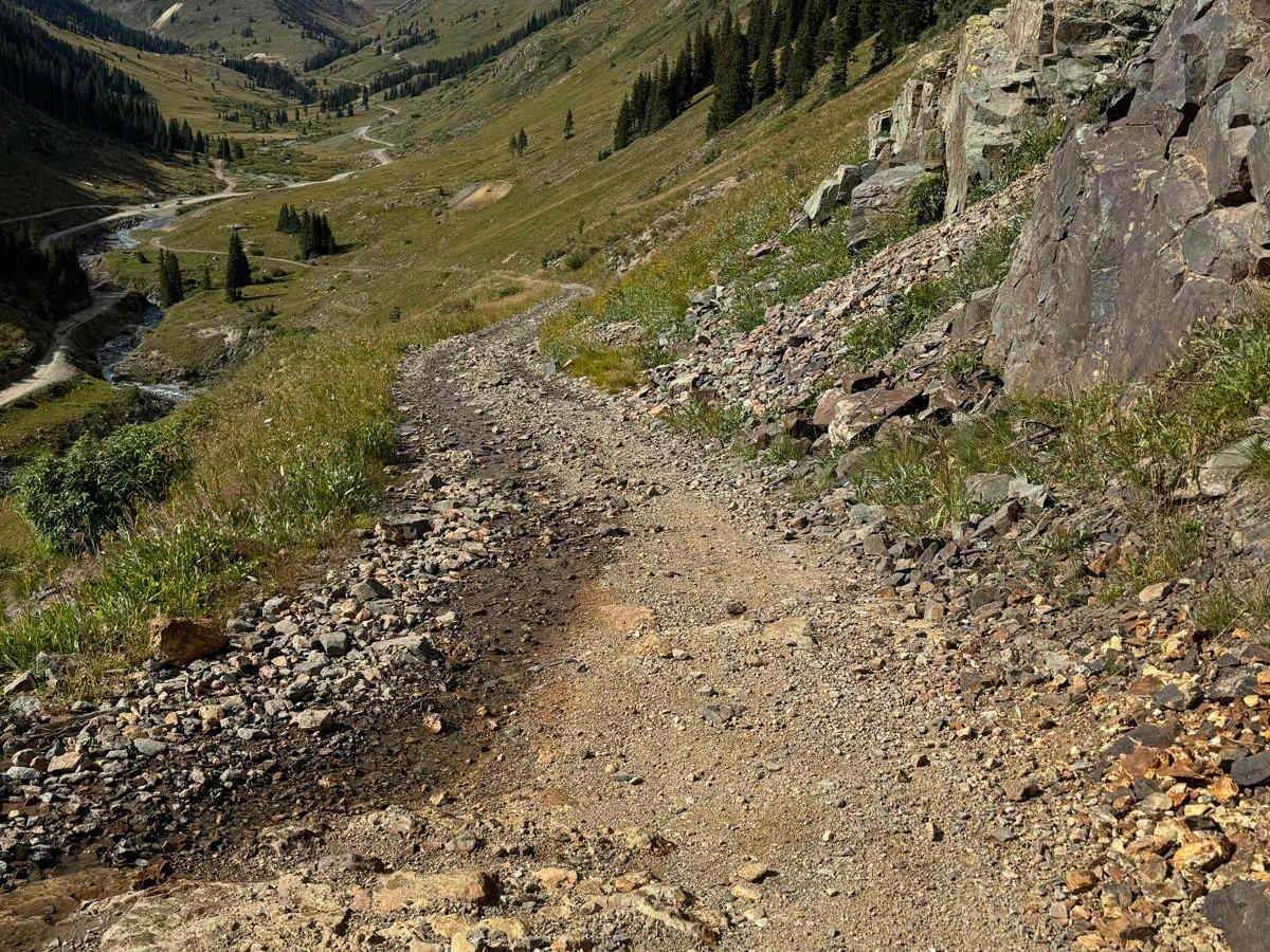
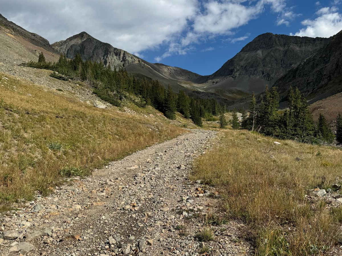
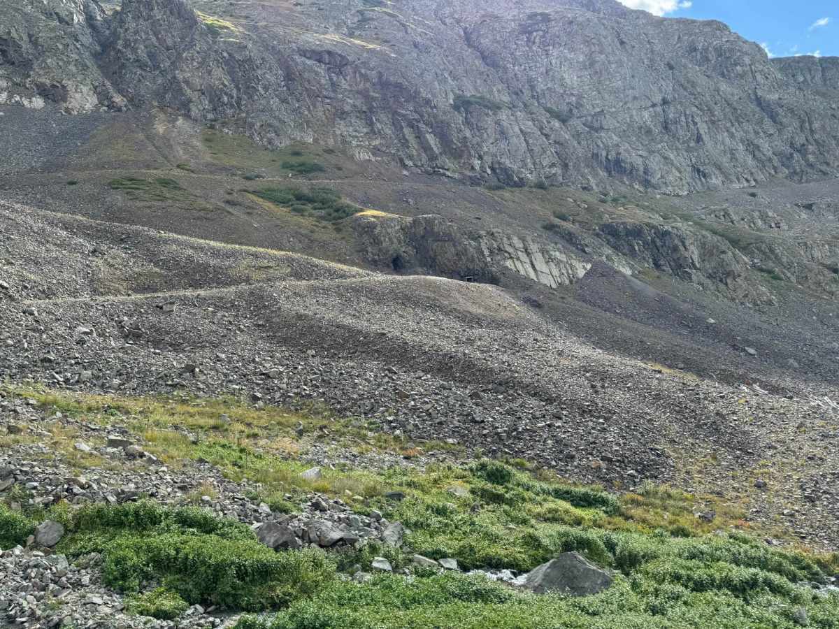
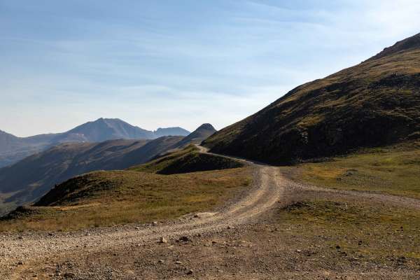
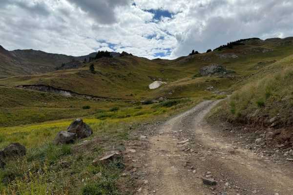
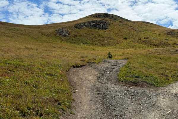
Drive along the road until you reach an elevation of approximately 11,680 feet. This road is a single-lane, rocky, and moderately rough 4WD track. Lower down, the road follows a shelf, which can present challenges if you encounter another vehicle coming from the opposite direction. Drive along the road until you reach an elevation of approximately 11,680 feet. There is an unnamed mine towards the top that offers a better turnaround point than through the brush where the trails ends. The brush will leave some severe scratches in your paint!

Photos of Burns Gulch Road

Difficulty

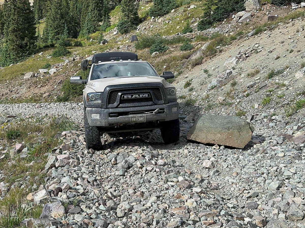
This trail is only a single vehicle wide for most of the way. There is a very steep and rocky hill climb to the top.

Technical Rating

6

Status Reports

Add Status Report
Dave Ohhhh
Aug 18, 2026
2026 Toyota Tundra
Open
NormalRough/Deteriorated
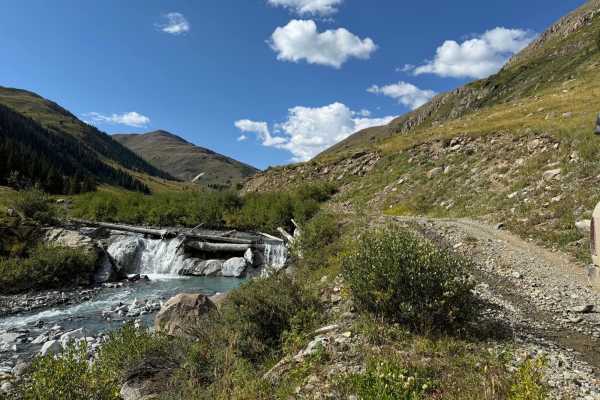
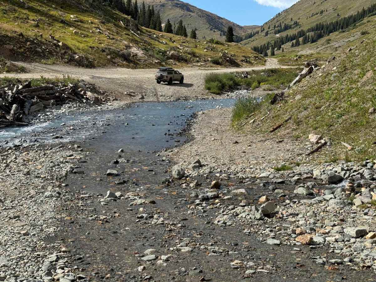
We’ve read about Burns Gulch and picked a weekday to go up to minimize the chances of meeting others going up/down. As others have noted, it is not terribly difficult, but is to be respected. There is a water crossing as you turn off Co Rd 2. There is. Go around a little further north of the creek is too high. The road is rocky the entire way up with large ones, small ones, and pointy ones littering the trail. We were in a stock 3rd gen Tundra and Ram Warlock. As others have mentioned, the short shelf/ledge section near the top is probably the most difficult section of the road. Neither of us had lockers. 4wd low was just fine with good line selection. We stopped at the switchback just short of the end of the road. There are a couple gated mine tunnels there. The views are amazing back down to Animas Forks and beyond. It was a well worth the trip.
Bill M
Aug 16, 2026
2024 Jeep Wrangler
Open
Normal
Trail is awesome. Just a steady rock climb but not overly difficult. There is one obstacle towards the top that is a short steep climb with a ledge in middle. We did it easily with LR 4WD and no lockers. You have to scout for passing areas but several do exist. Very rocky. I would not suggest for SUV unless high ground clearance that you can clear a soccer ball sized rock.

Burns Gulch Road Trail can be accessed by the following ride types:

  • Single Track
  • 50 Inch
  • 60 Inch
  • High Clearance
  • Full Width

Burns Gulch Road Map

The onX Offroad Difference

onX Offroad combines trail photos, descriptions, difficulty ratings, width restrictions, seasonality, and more in a user-friendly interface. Available on all devices, with offline access and full compatibility with CarPlay and Android Auto. Discover what you're missing today!

Open Trail Map