Trail Overview
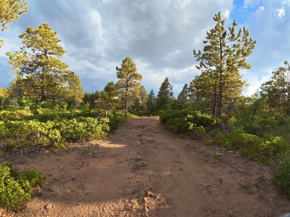
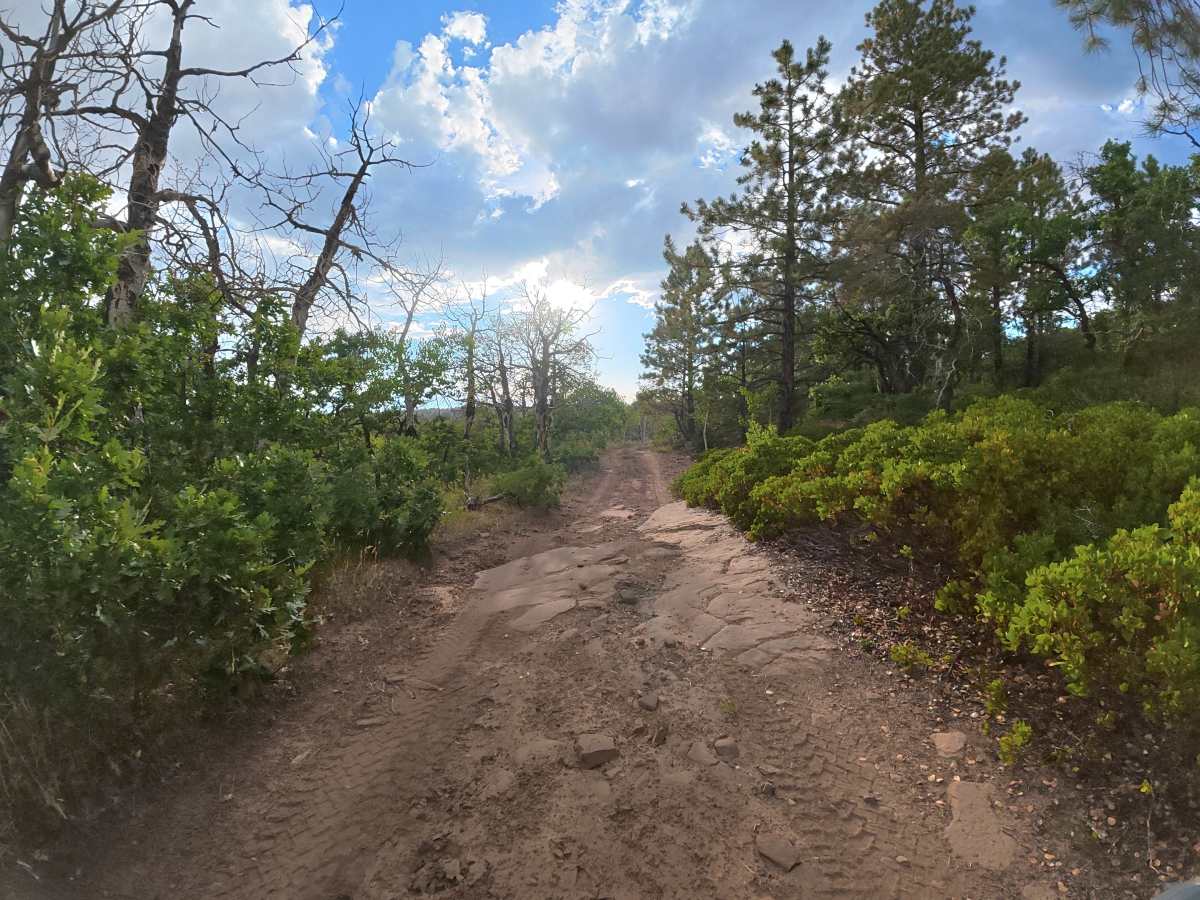
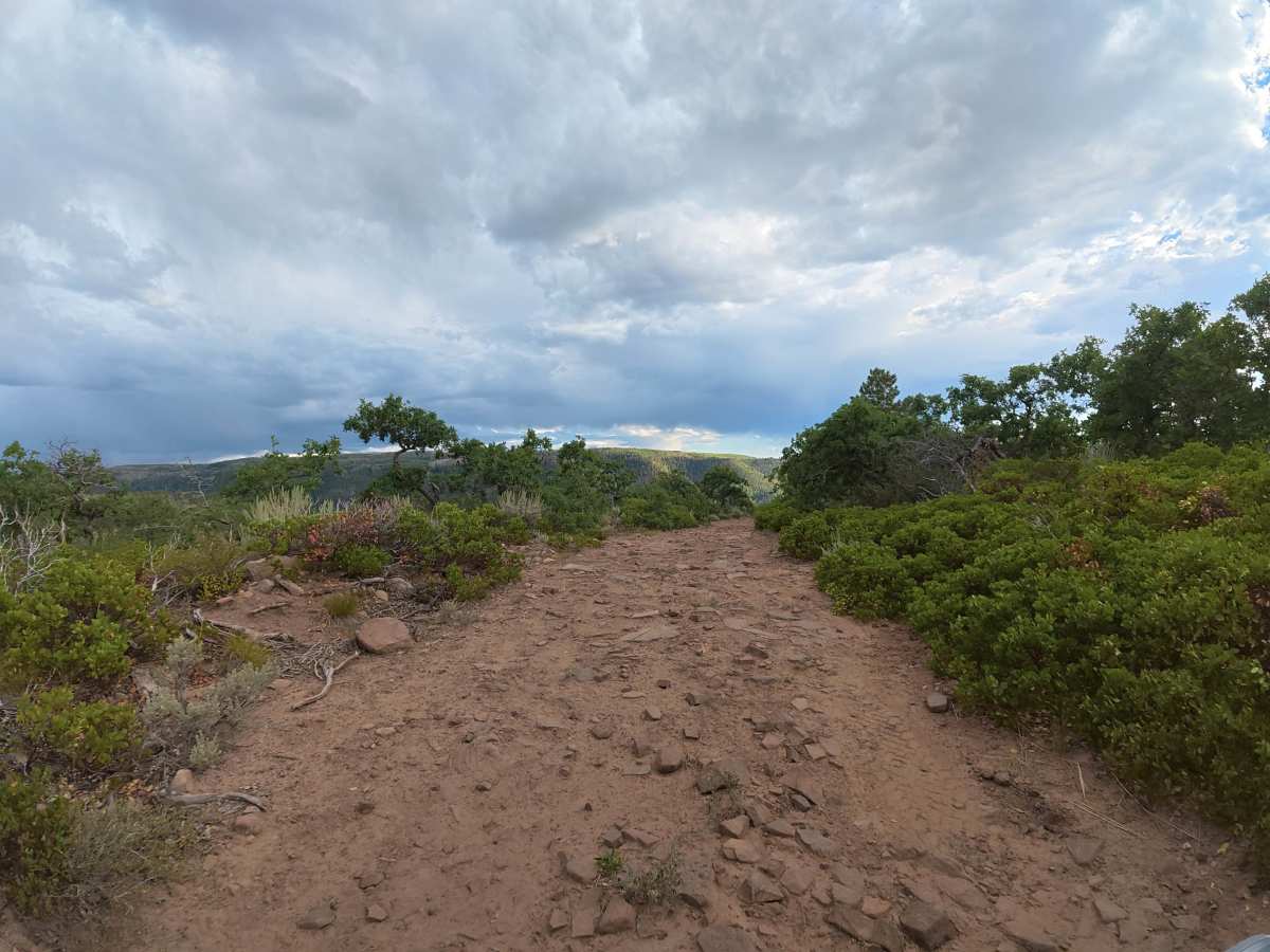
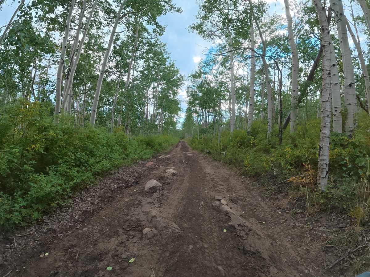
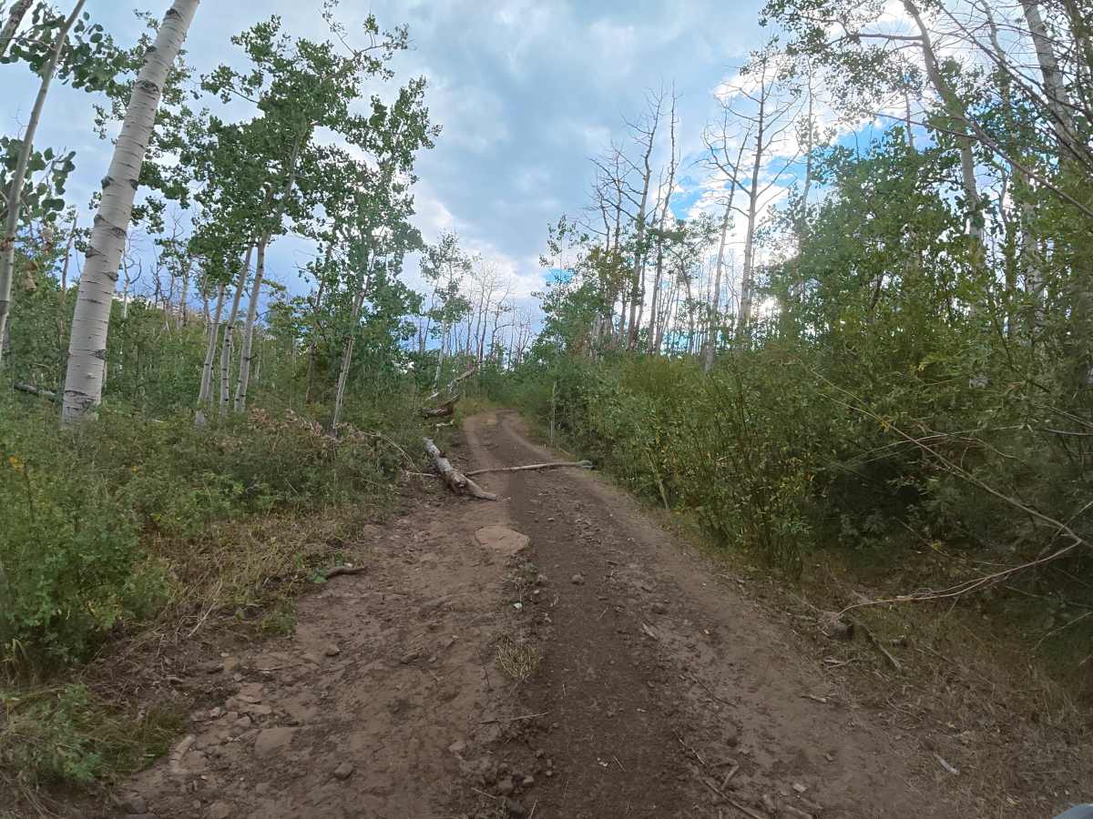
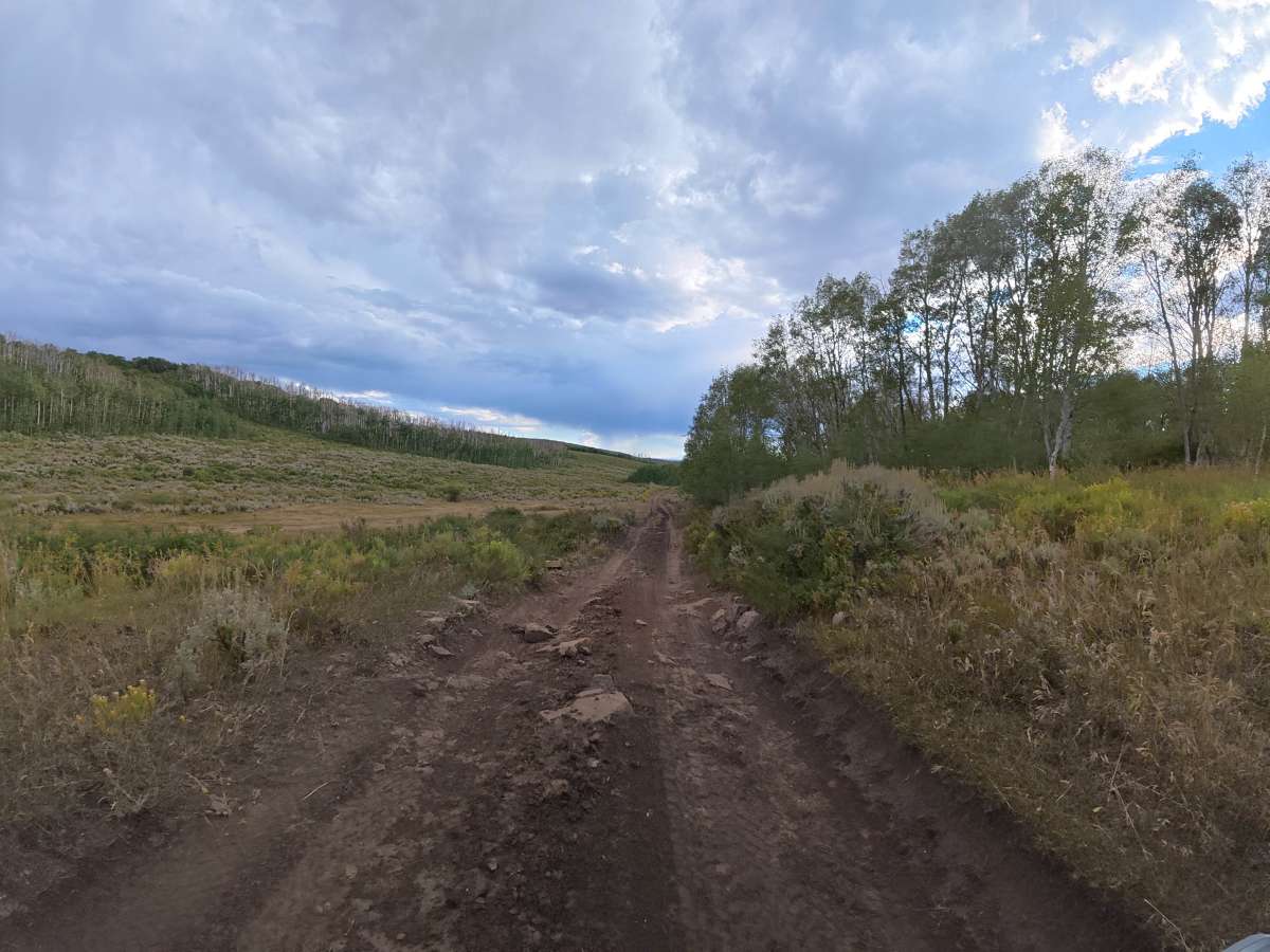
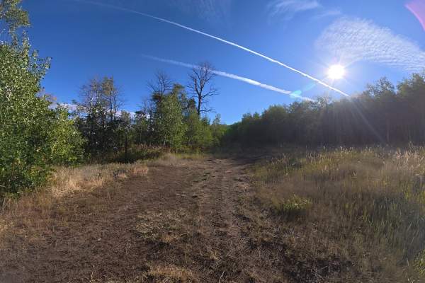
This scenic trail consists mostly of dirt with 5–8-inch rock obstacles near the entrance before entering dense aspen forest. The narrow route has numerous whoops, ruts, and washouts, requiring approximately 14 inches of approach clearance, and wet conditions can make the trail significantly more difficult. At 0.7 miles, the trail becomes narrower with heavy overgrowth where pinstriping is highly likely. At 1.5 miles, a beautiful cliffside viewpoint offers space for two vehicles and is an excellent spot for photos, lunch, or taking in the scenery. If you want to avoid pinstriping, consider turning around at the viewpoint, as the trail gets even tighter beyond it. A private, level campsite for up to three vehicles is located at the end.
Difficulty
This trail is rated Level 3 because of the rock obstacles, whoops, ruts, washouts, narrow sections, and high potential for pinstriping. Approximately 14 inches of clearance is recommended, and wet conditions should be avoided.
History
The Uncompahgre National Forest was established in 1905 and has a long history tied to mining, logging, ranching, and early settlement in Colorado’s San Juan Mountains. The region was especially shaped by the late-1800s mining boom, with historic towns, mines, and roads still found throughout the forest today.

 Offroad