Trail Overview
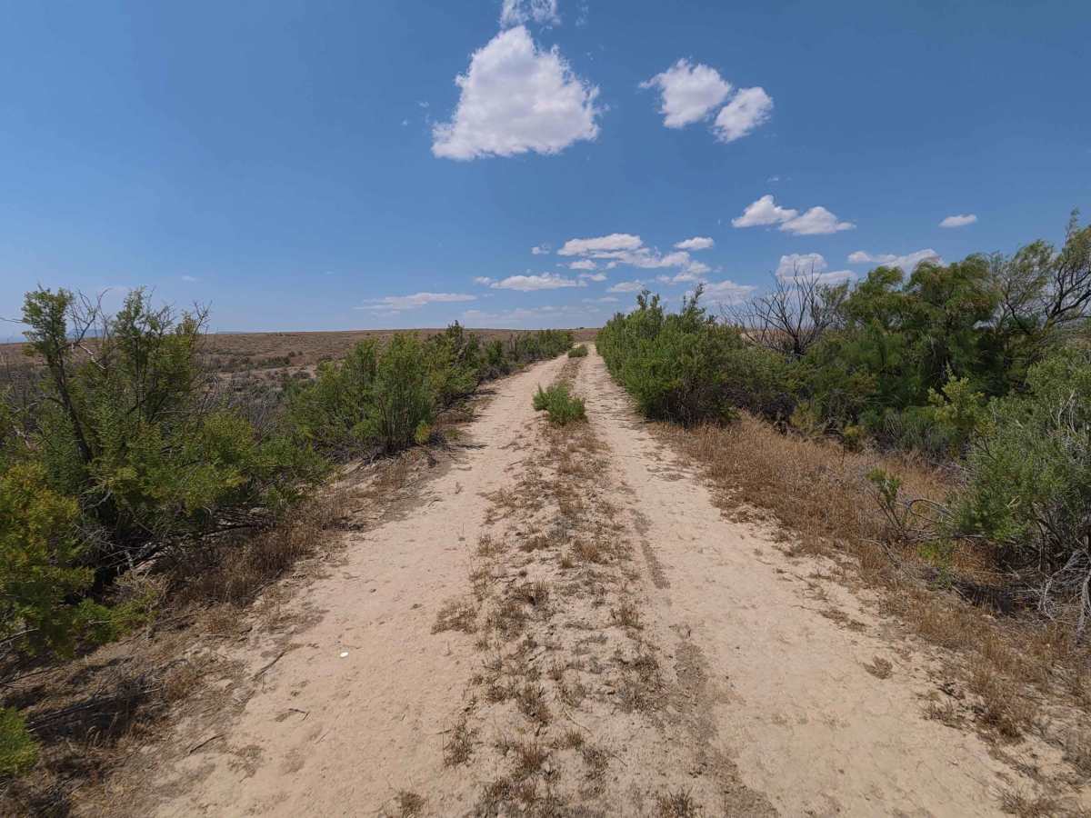
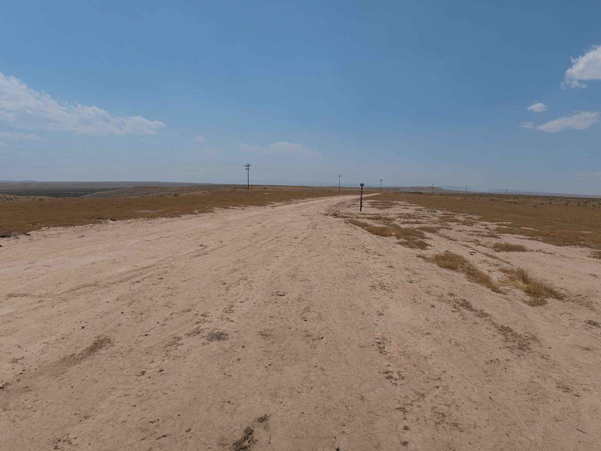
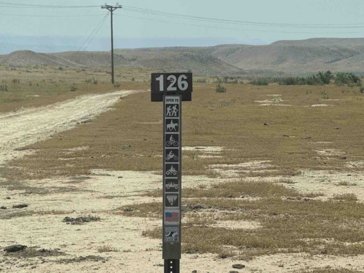
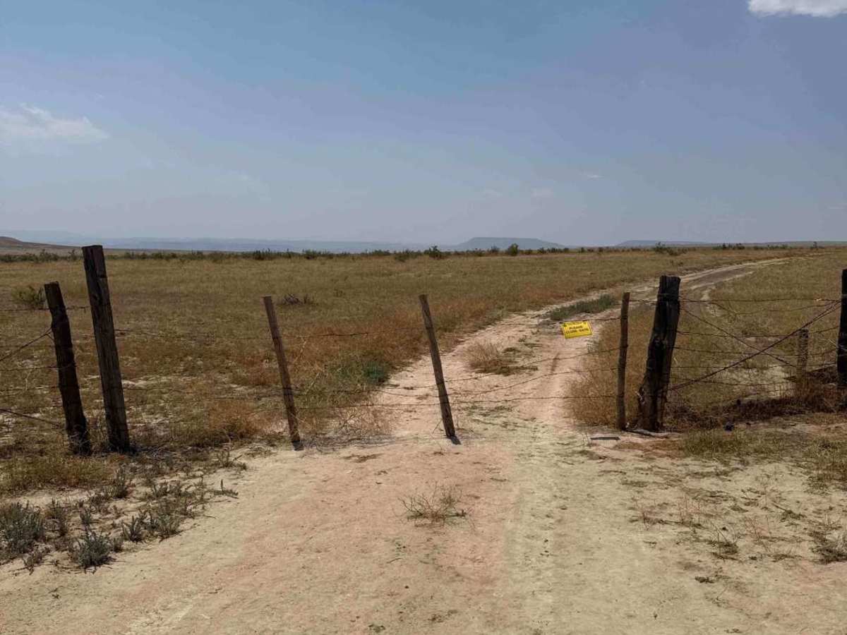
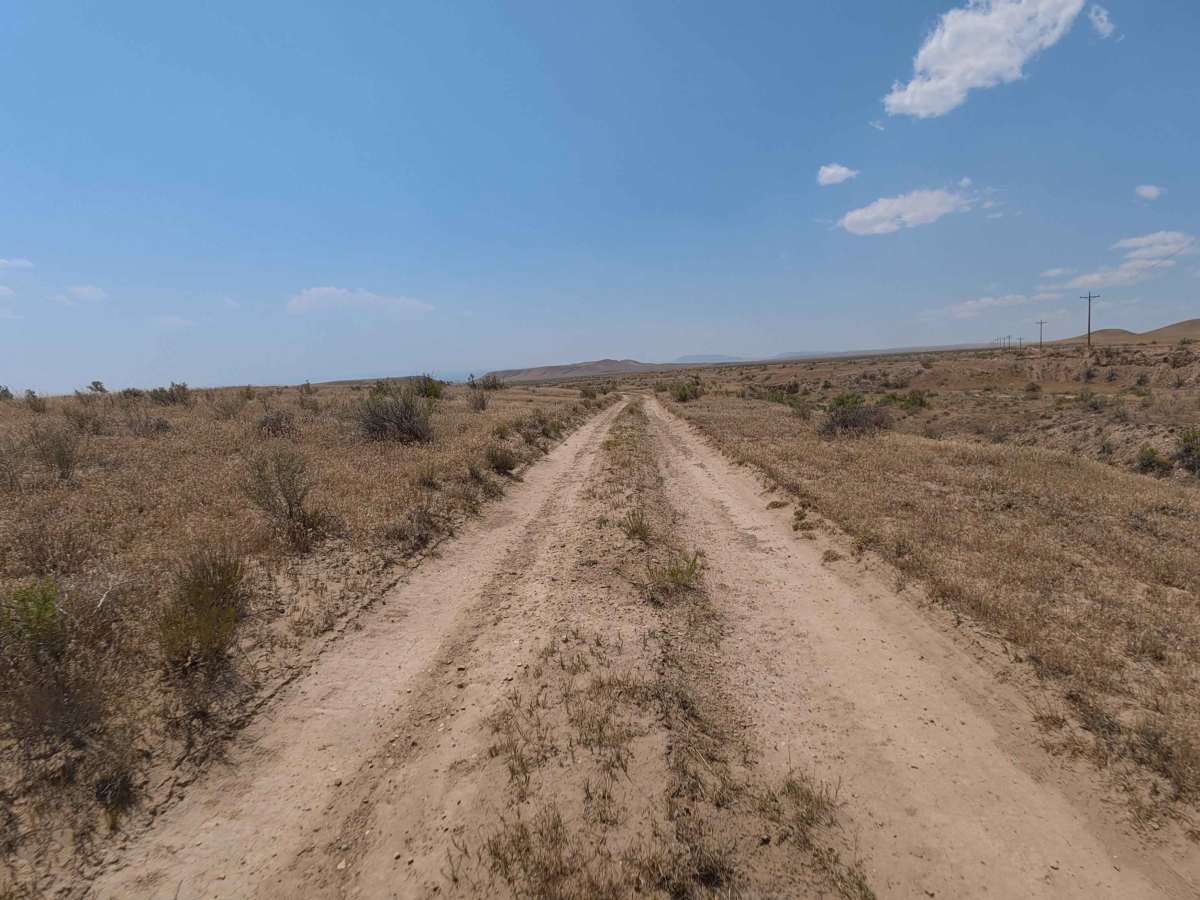
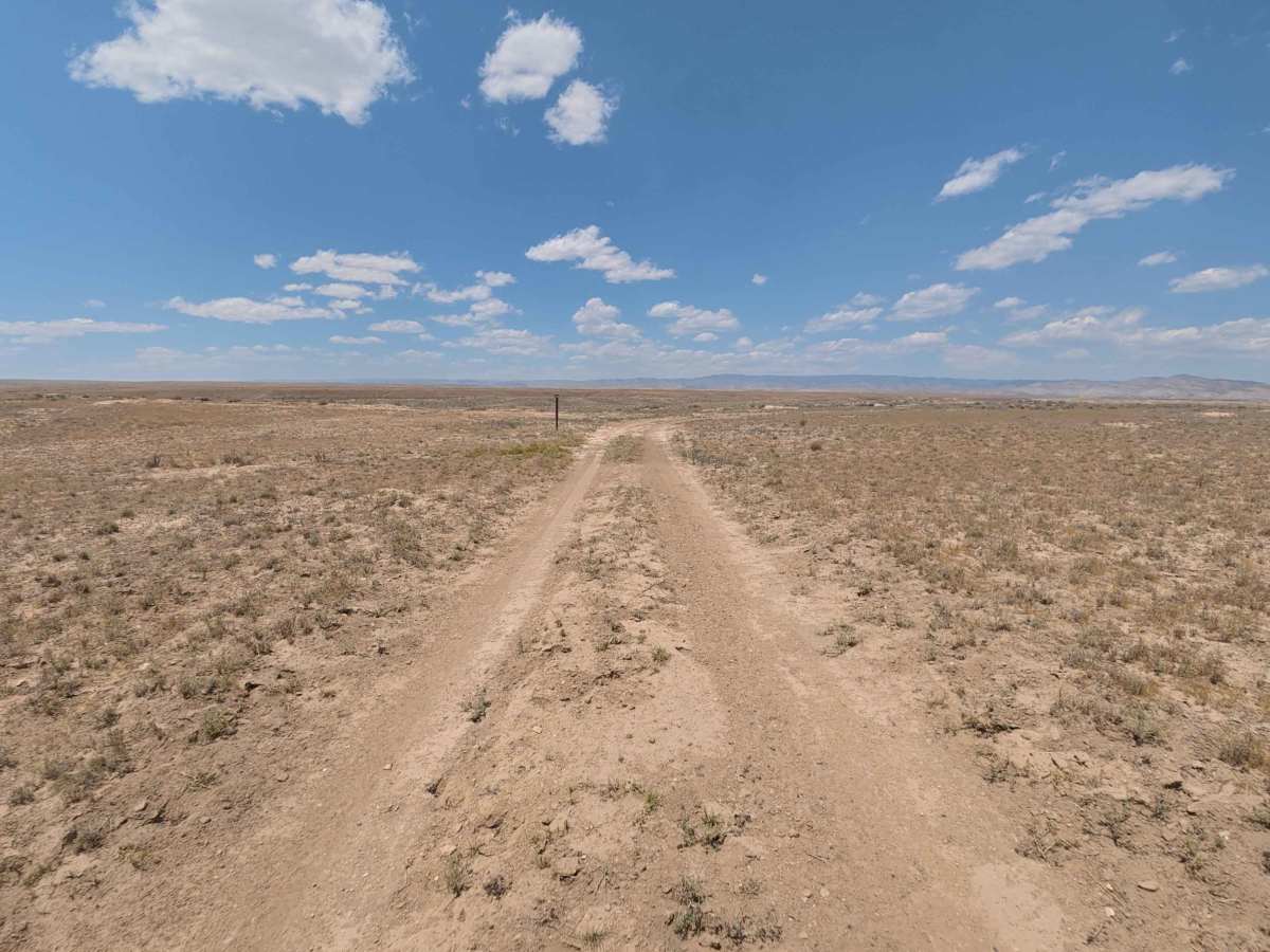
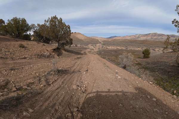
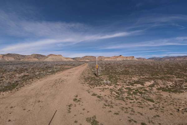
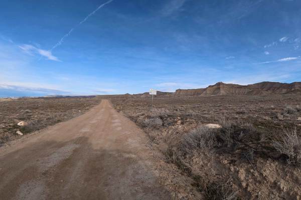
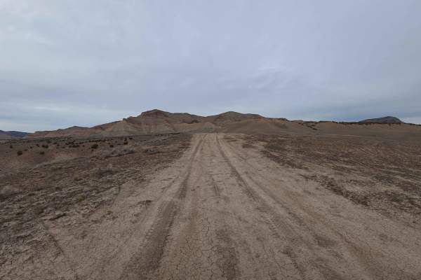
Set across an expansive high-desert badland terrain characterized by open sagebrush flats and clay bluffs managed by the Bureau of Land Management (BLM), BLM 126 delivers an inviting backcountry route. Accessed directly off Mitchell Road, this 2.7-mile single-lane desert connector provides throughput deeper into the surrounding public land network. Recreationists frequently travel this path to reach an established hiking trailhead, enjoy sweeping views of the towering Book Cliffs and adjacent National Monument, or connect into adjoining off-road tracks. The driving surface consists of fine powdery sand and dirt marked by shallow 2- to 4-inch wheel ruts, earning a beginner-friendly Grade 2 difficulty rating. Departing Mitchell Road, the road traverses open desert flats before arriving at a wire gate and marked hiking trailhead at 1.5 miles; ensure the gate is closed after passing through. Near 2.3 miles, desert shrubs and leafy tamarisk bushes grow closer to the roadway, creating tight clearance that may lightly brush against vehicle sides before the route merges into connecting BLM trails at 2.7 miles. Travelers should avoid this track during rainy periods, as fine silt transforms into extremely slick, unmanageable mud when wet.
Difficulty
Earning a grade 2 difficulty rating, this 2.7-mile desert connector features a straightforward dirt and fine sand surface with shallow 2- to 4-inch ruts. Technical obstacles, steep hill climbs, and clearance-testing rocks are absent under dry conditions. Primary non-technical considerations include opening and closing the wire gate at 1.5 miles, watching for pedestrians near the hiking trailhead, and navigating narrow brush encroachment past 2.3 miles. Drivers should maintain a steady pace through soft silt pockets and strictly restrict travel to dry weather.