Trail Overview
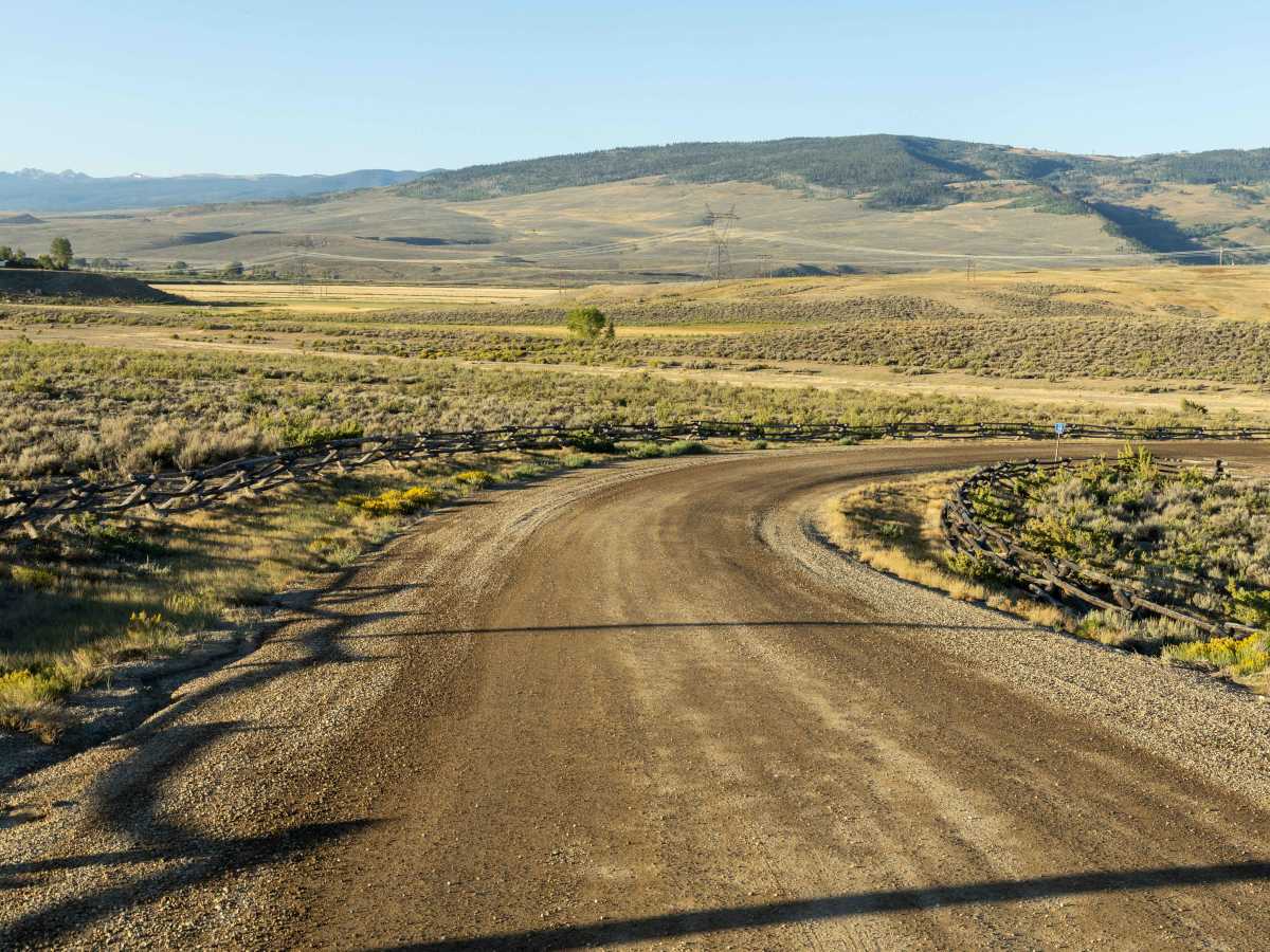
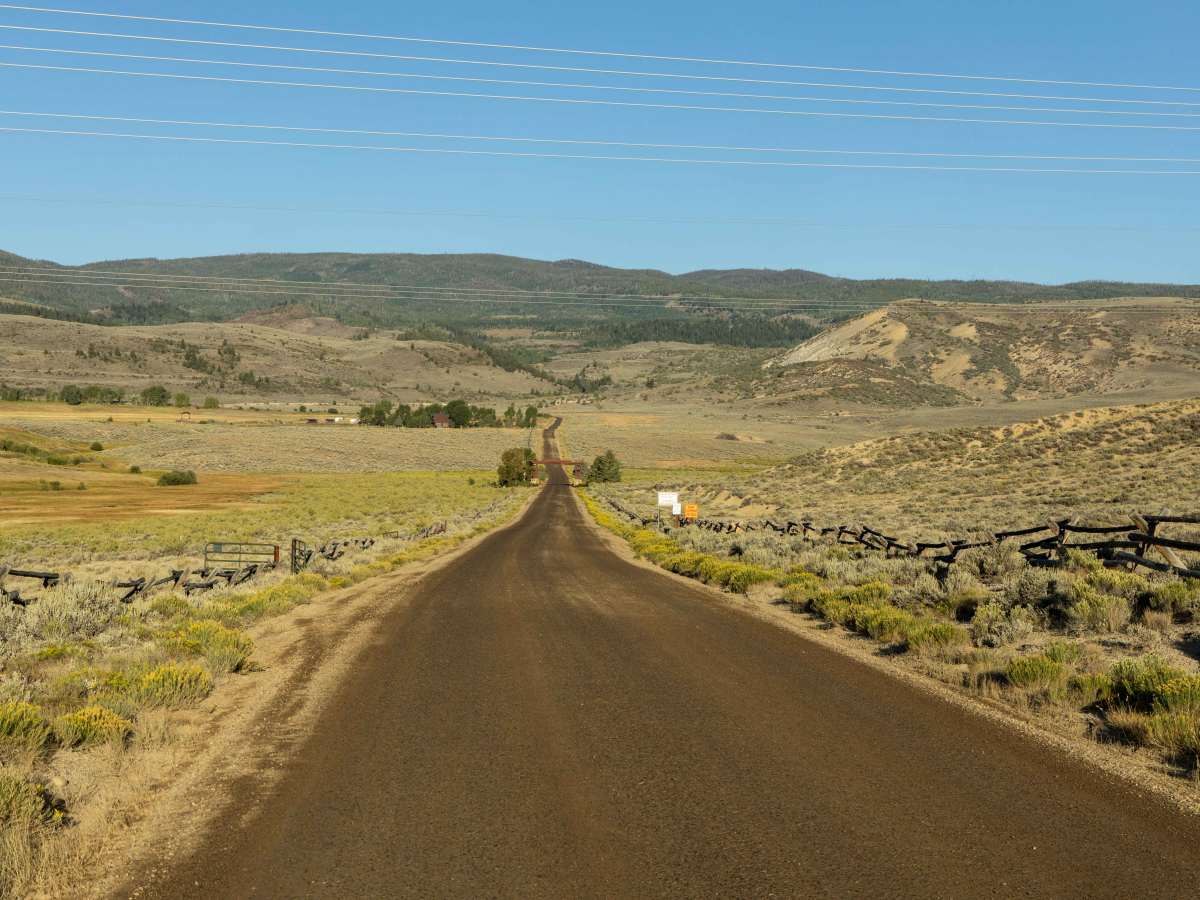
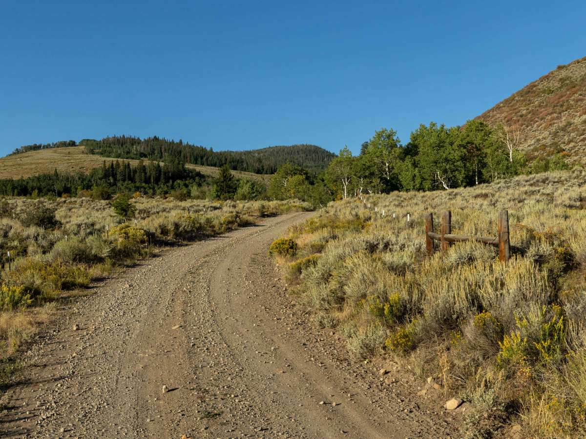
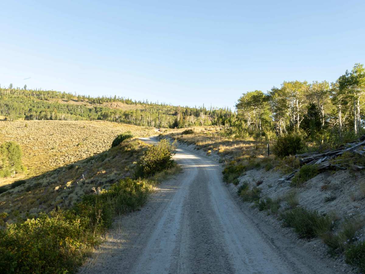
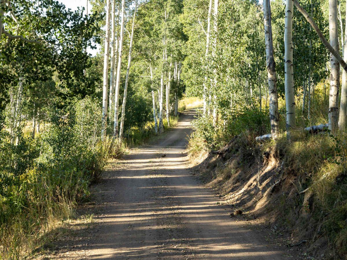
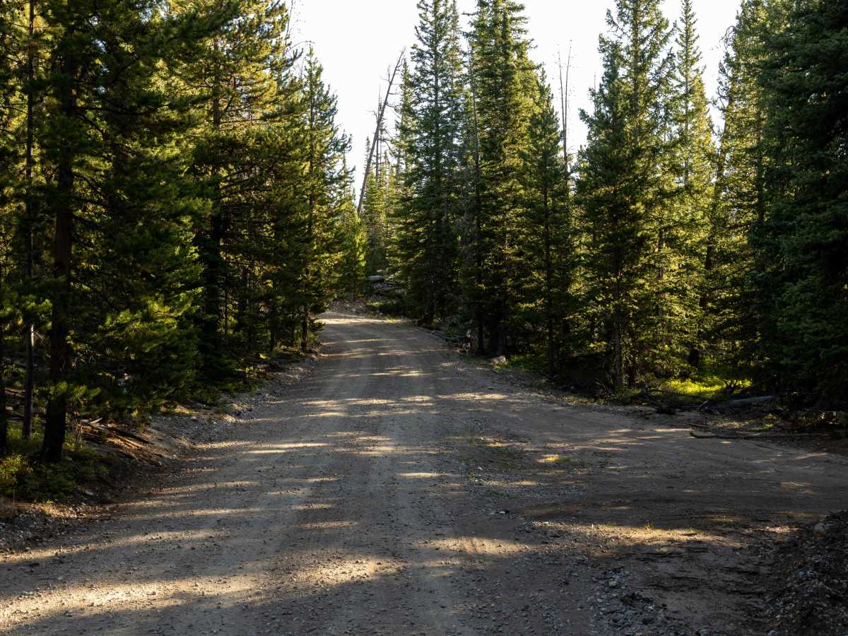
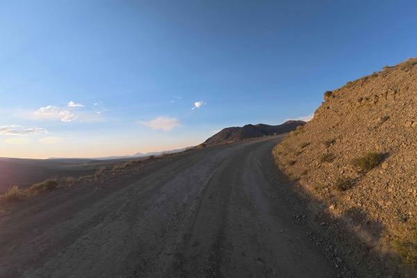
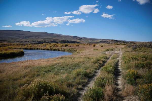
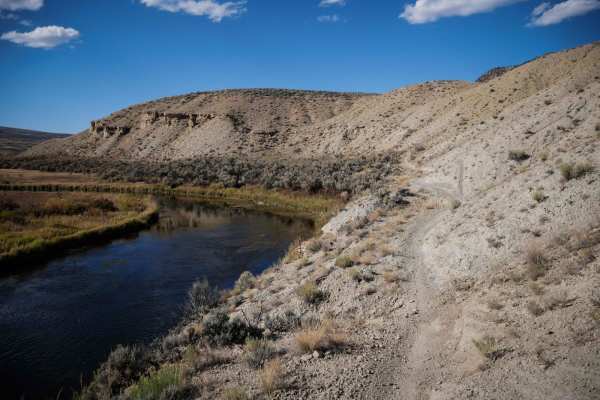
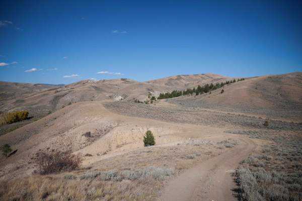
Blacktail Creek is an outstanding point-to-point offroad route for beginner to intermediate drivers looking to experience the breathtaking high-country scenery of northern Colorado's Gore Range. Spanning approximately 31 miles, this wide and mostly easy dirt trail climbs from an elevation of 6,870 feet near Kremmling up to a peak of 10,347 feet, offering an immersive journey through diverse alpine forests, open meadows, and aspen groves. Throughout the drive, four-wheel-drive vehicles and SxSs will encounter a primary surface of dirt and gravel with some washboard and rocky sections, along with moderately steep climbs and descents that require a low gear. The trail is highly accessible, making it a great option for high-clearance stock SUVs, ATVs, and dirt bikes looking for expansive mountain vistas and common wildlife sightings like elk and moose.
Starting from a large gravel staging area off US Highway 40 just west of Kremmling, the route winds southward before finishing near Grand County Road 1, with a cumulative elevation gain of over 4,300 feet. There are no major technical obstacles, earning it a technical rating of 2, though drivers should remain alert for blind corners, tight switchbacks, and potential water crossings or mud after rain events. Scattered primitive campsites along the route offer opportunities for overnight stays, but travelers must respect marked private property boundaries that run adjacent to the trail. Historically, this path follows old logging and ranching roads from the late 19th and early 20th centuries, preserving a sense of rugged Colorado heritage while providing modern offroaders with a premier scenic adventure.
History
Historically, the Blacktail Creek drainage and surrounding valleys were utilized for grazing, timber harvesting, and small-scale mining during the late 19th and early 20th centuries. The current trail follows the path of these old logging and ranching access roads that were established to move equipment, timber, and livestock through the steep Gore Range terrain.