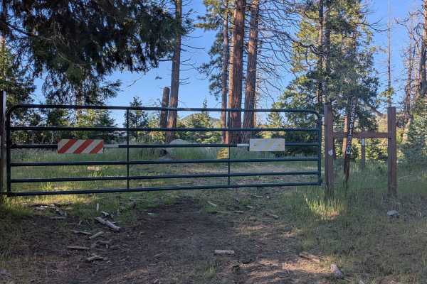
Trail Overview
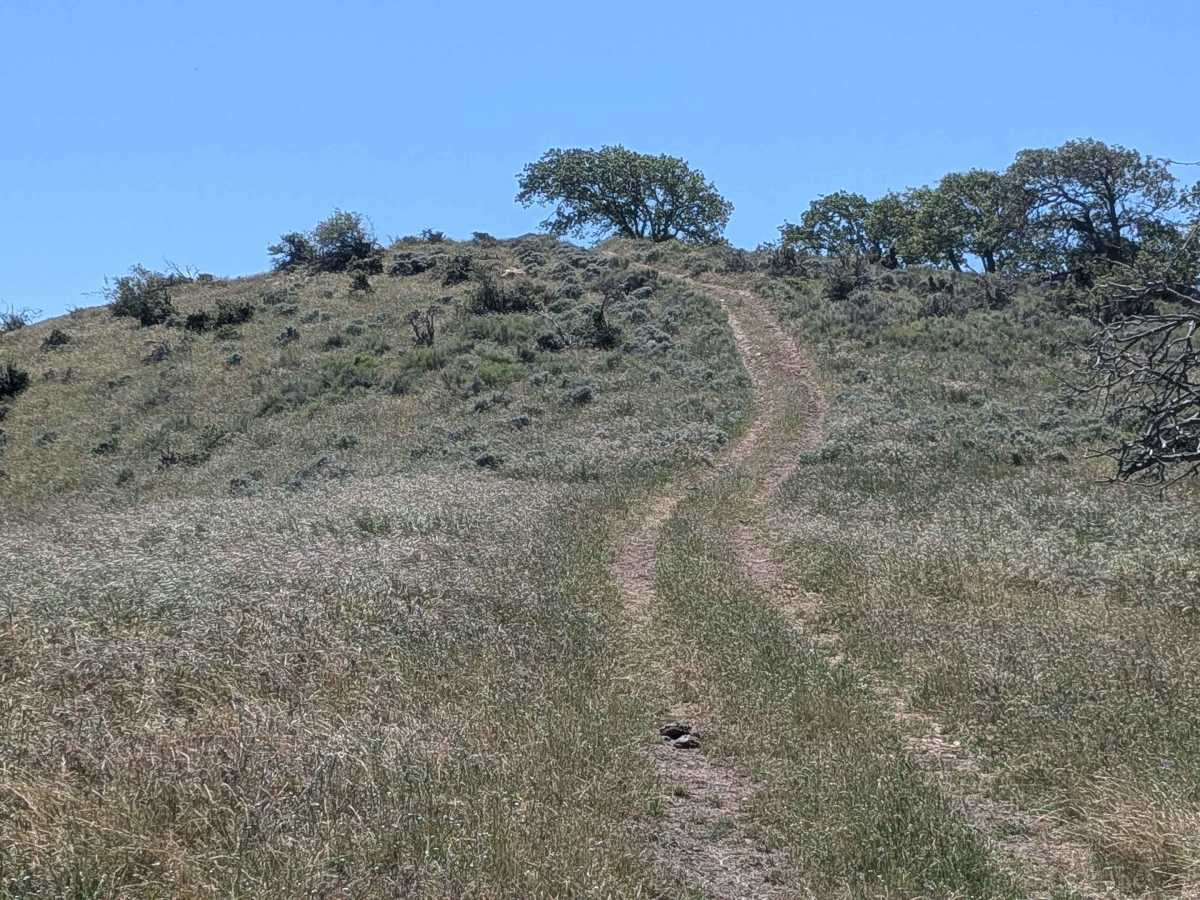
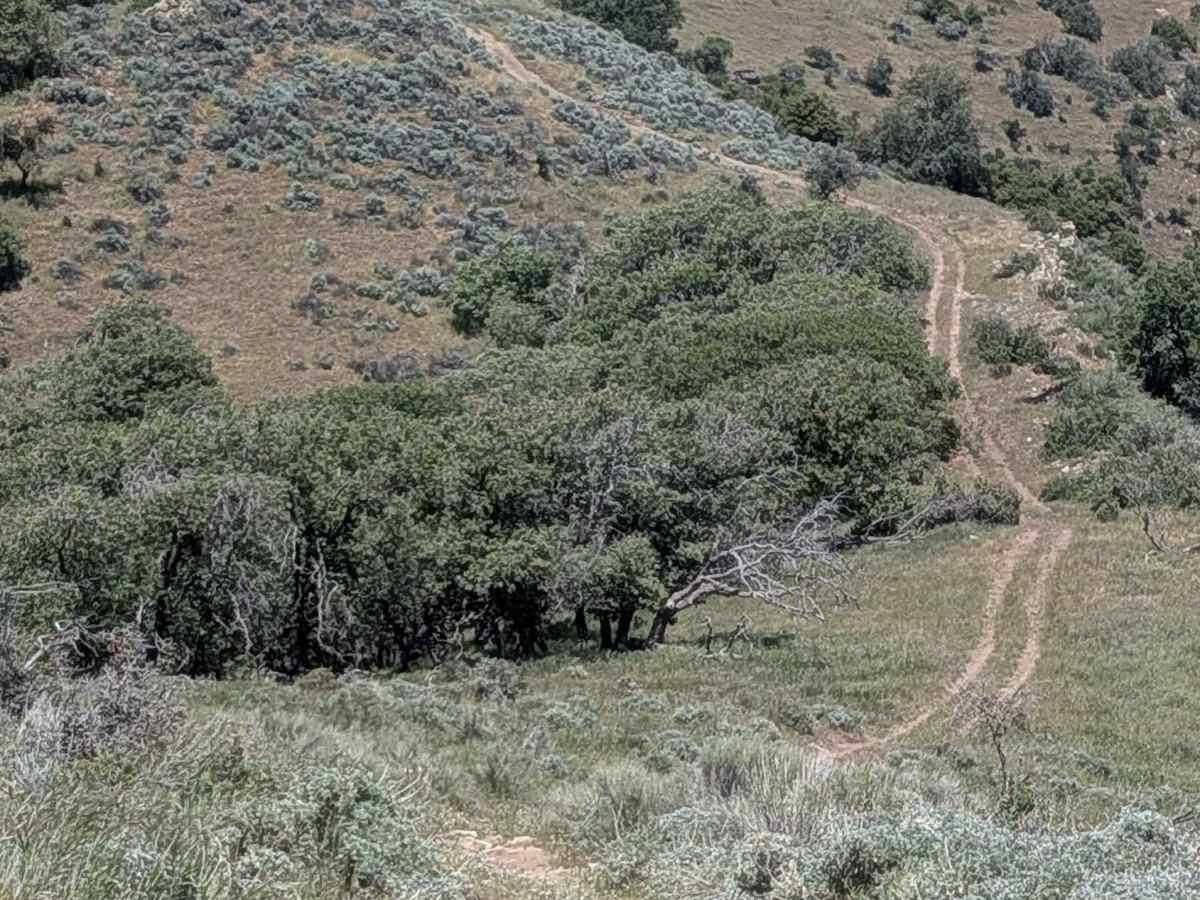
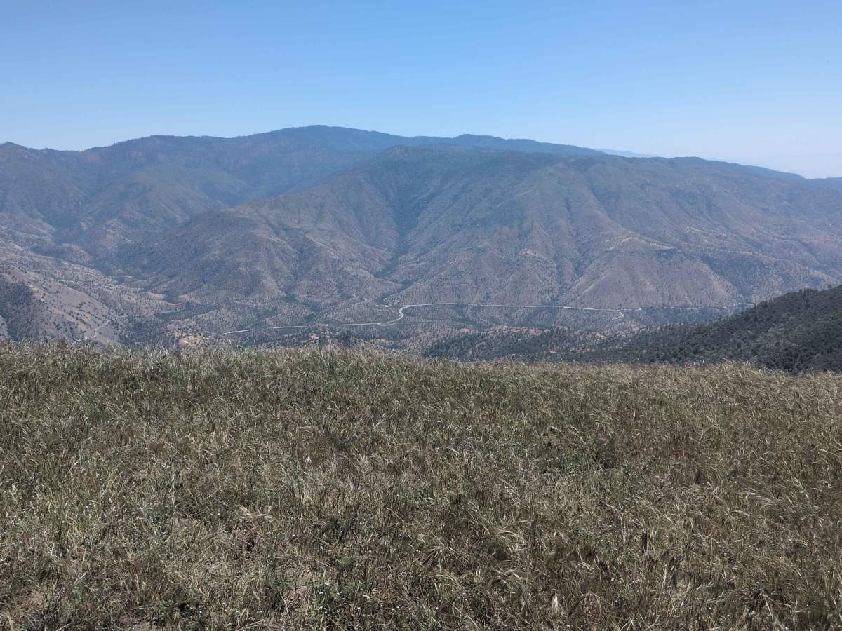
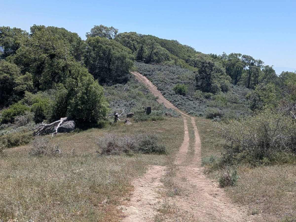
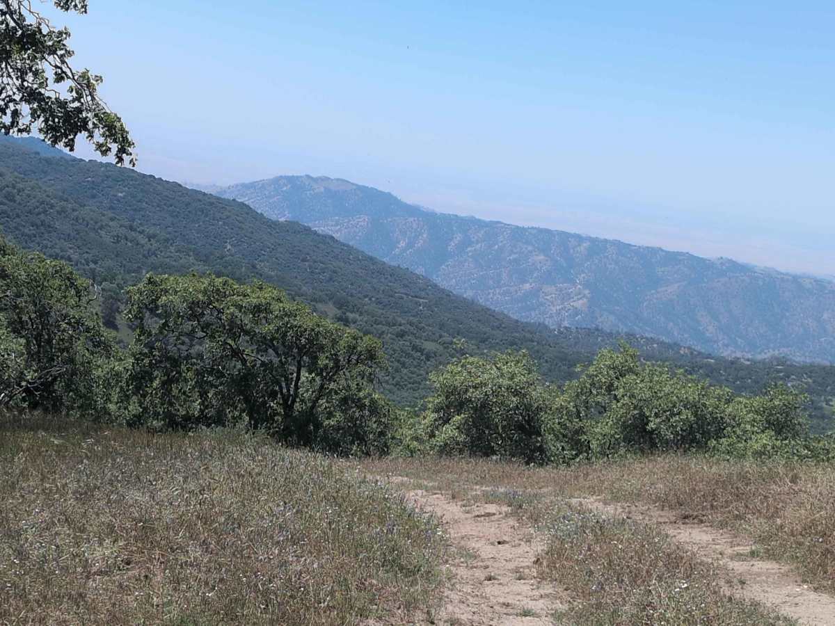
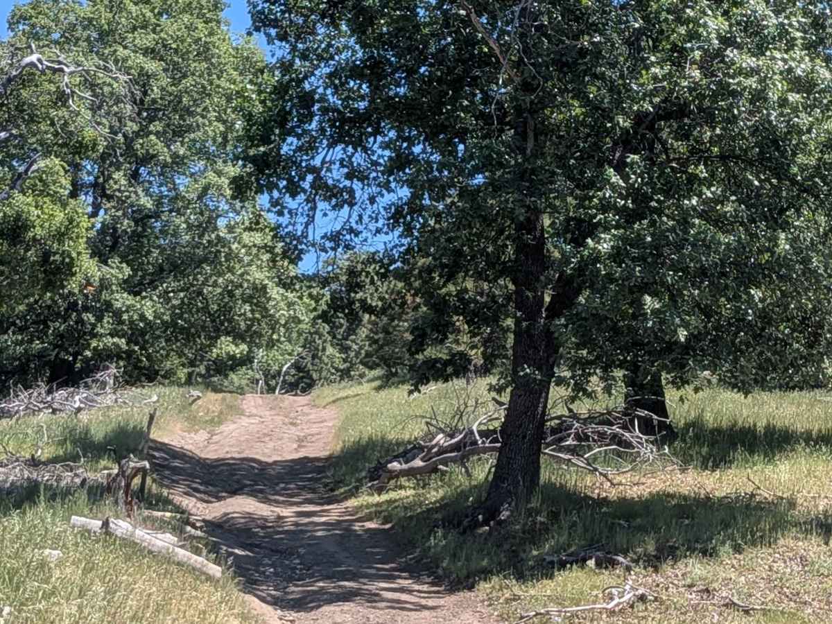
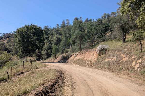
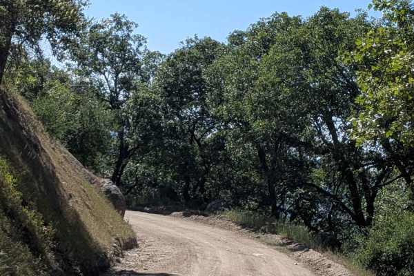
Woodpecker (FS 31E51) departs from Rancheria Road South and runs up and down various hills through Sequoia National Forest, losing over 2,100 feet while gaining nearly 1,200 feet in just over 3 miles. This out-and-back trail cuts through a landscape of grass, oak trees, and open meadows that offer a pleasant contrast to the dense pine forest typical of the surrounding network. Nice views of the mountains and hills open up at intervals along the route. Cattle graze the area seasonally, so watch for livestock on the trail.
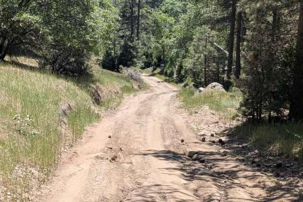
Difficulty
Woodpecker rates a 4, driven primarily by the many very steep uphill and downhill sections, some of which are rutted, and compound the challenge significantly. Ruts up to 12 inches deep appear frequently throughout. A rock step section with steps up to 12 inches tall adds a concentrated technical moment. Off-camber sections and embedded rocks contribute additional obstacles throughout the route. The dramatic elevation change of over 3,000 feet combined across just over 3 miles makes this one of the more physically demanding trails in the network. 4-low and traction control are very helpful. Heavy vehicles should carefully reconsider attempting this trail given the steep grades and rut depth.