Trail Overview
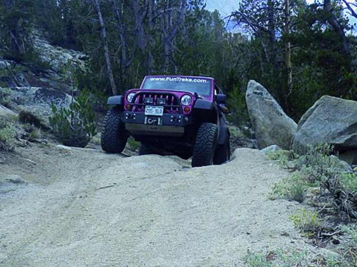
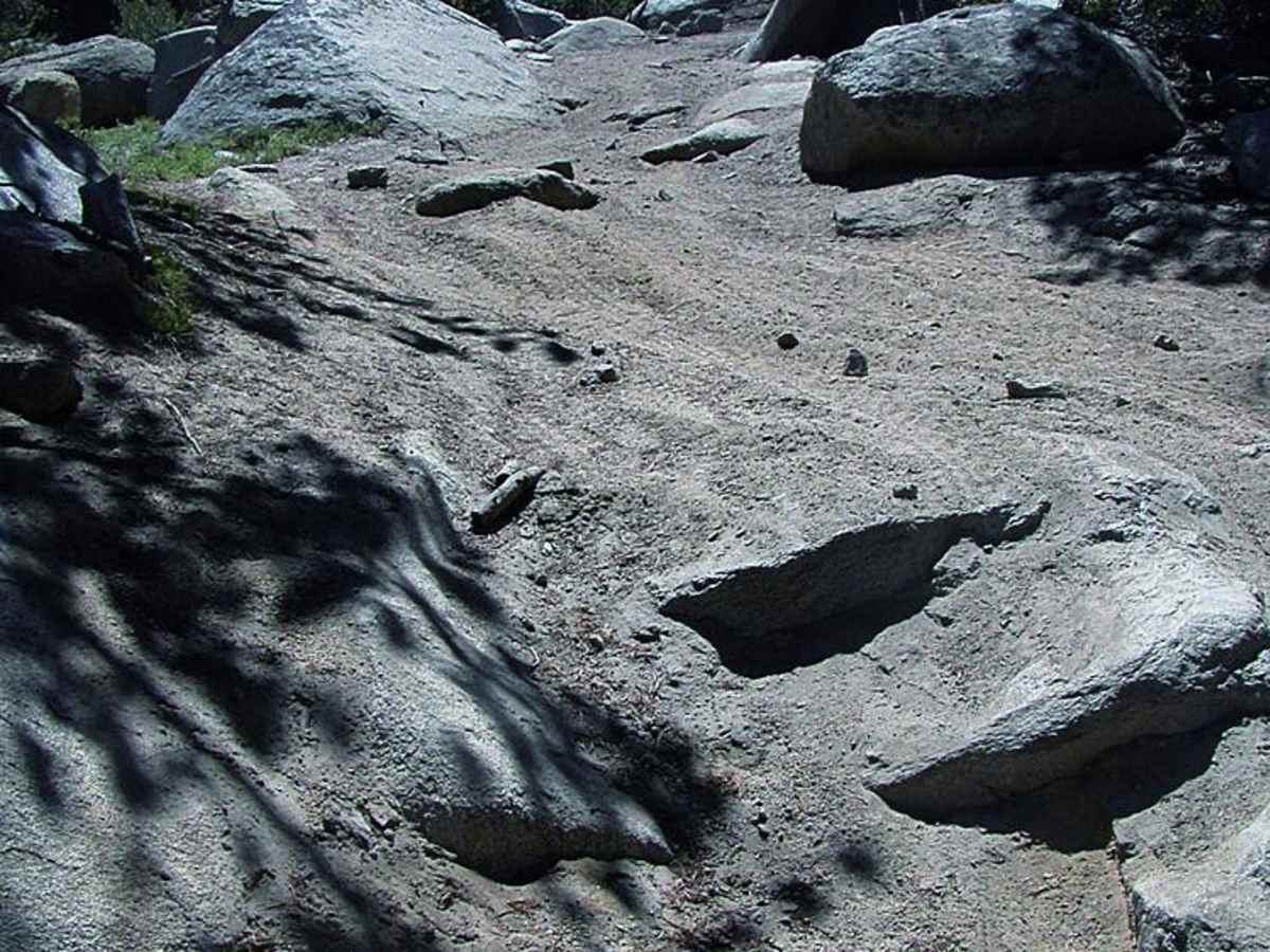
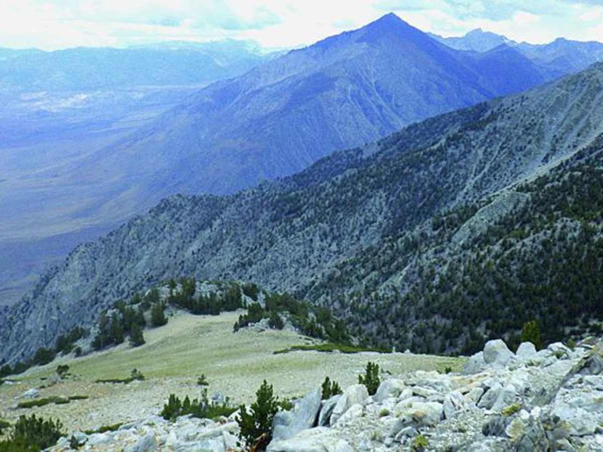
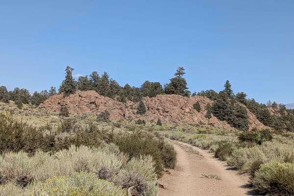
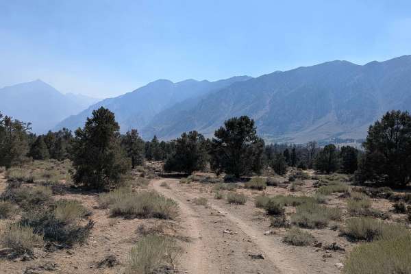
Wheeler Ridge is a challenging high-altitude trail in the Eastern Sierra that offers experienced offroaders spectacular mountain views and a thrilling, technical driving experience near Round Valley Peak. Running just under 1.9 miles, this route climbs from an elevation of 10,627 feet to a peak of 11,279 feet along the Inyo and Mono county line. The terrain features steep climbs and rocky segments where drivers must carefully maneuver between large boulders. Rated as a 6 out of 10 for difficulty, this trail demands high-clearance, four-wheel-drive vehicles and is not recommended for novice drivers or wide, full-size rigs without proper spotting.
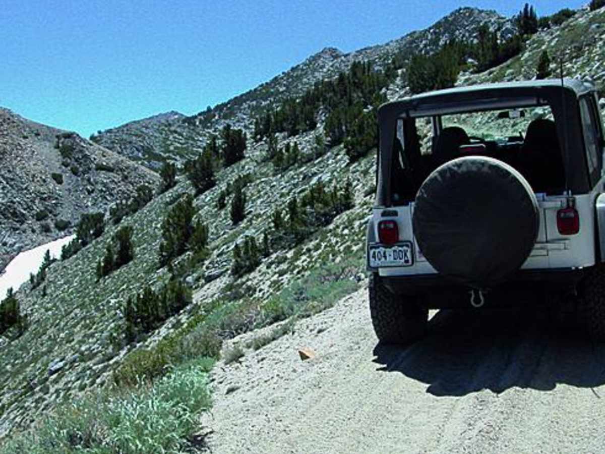
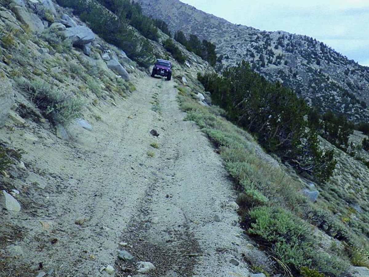
The primary obstacle on this route is a narrow, tippy shelf road with soft, sandy edges that significantly increase the risk of sliding. Because there is absolutely no room to pass oncoming vehicles on this section, drivers should walk ahead to scout the path and confirm it is clear before proceeding. High elevations mean that snow can linger and block the road even into July, so checking local conditions beforehand is essential. To reach the trailhead, follow Sand Canyon (Trail #25) for 7.3 miles and bear left at the sign for Wheeler Ridge Mine Road.
Difficulty
Difficult: Steep in places with large boulders you can squeeze between, but no major obstacles. Difficulty is primarily due to a narrow, tippy shelf road after Waypoint 03. We made it in our full-size Rubicon, but just barely. The edge of the road is soft sand, which further adds to the tension. Absolutely no room to pass if you encounter an oncoming vehicle. Walk ahead to make sure no one is coming. Stay off if any snow. This can occur even in July.
History
The route follows the historic Wheeler Ridge Mine Road, which originally provided access to high-altitude tungsten mining operations active on the ridge during the mid-20th century.
Access Description
Due to the high elevation exceeding 11,000 feet, lingering snowpack often blocks this route well into July, rendering it impassable or highly difficult early in the season.