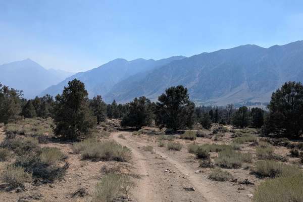
Trail Overview
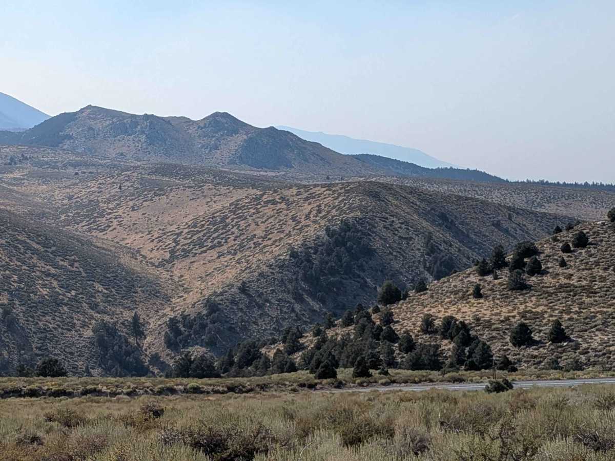
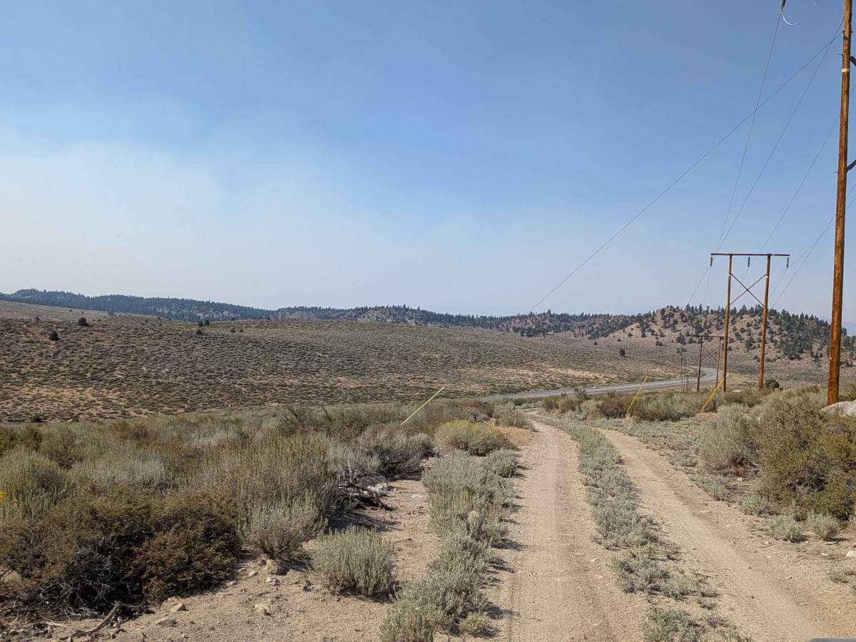
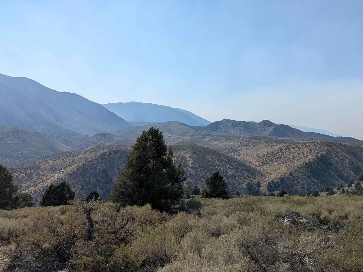
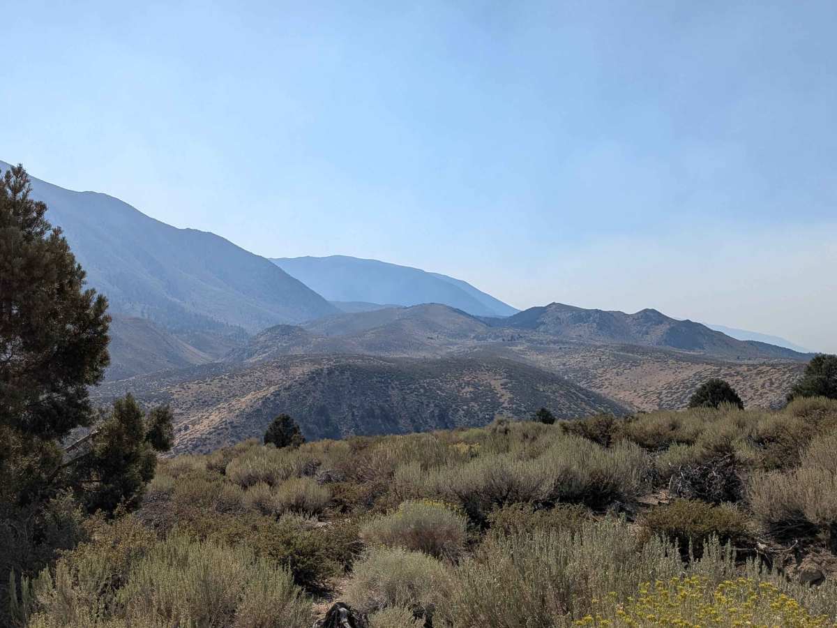
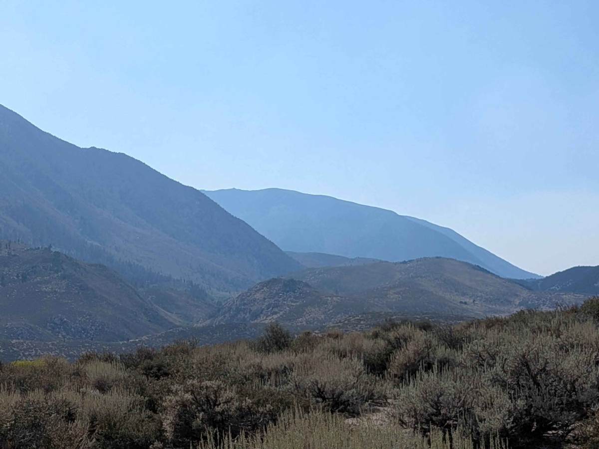
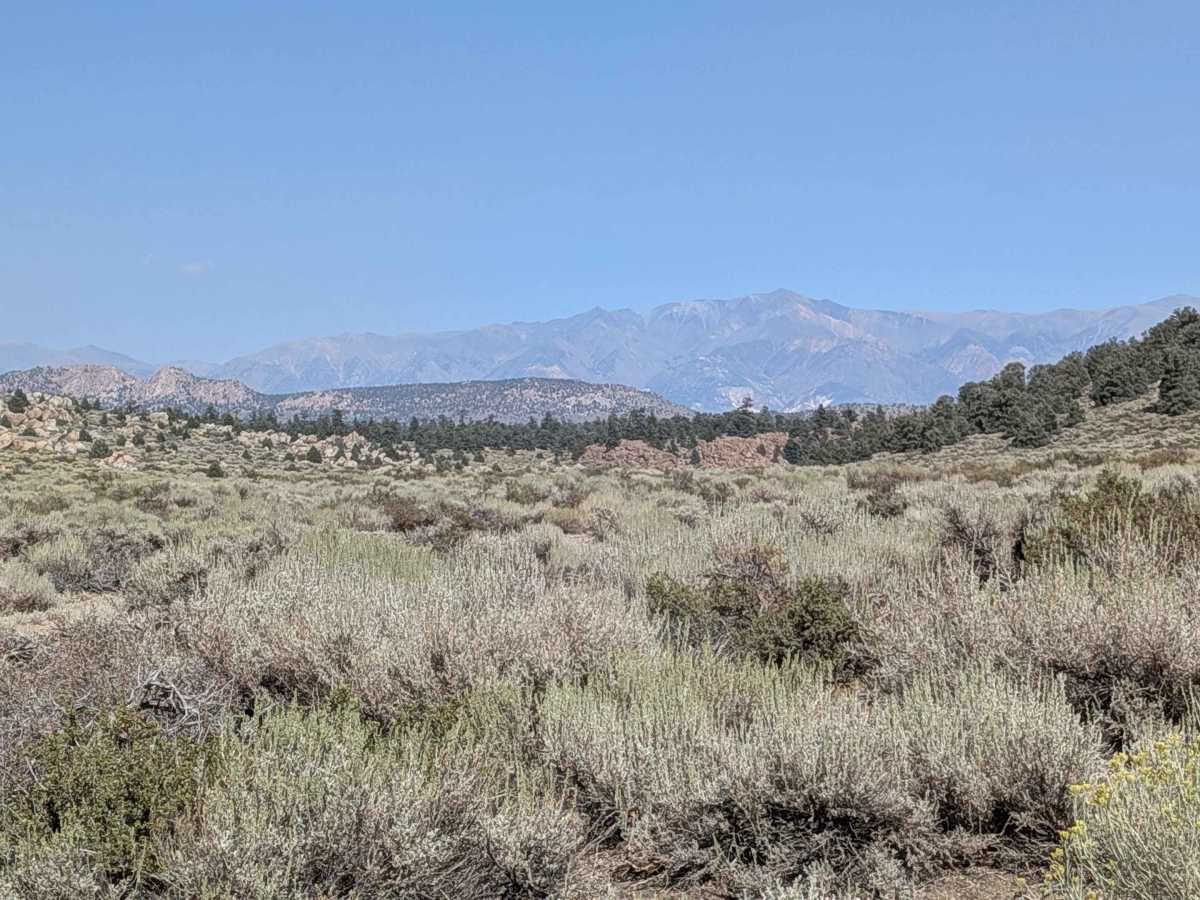
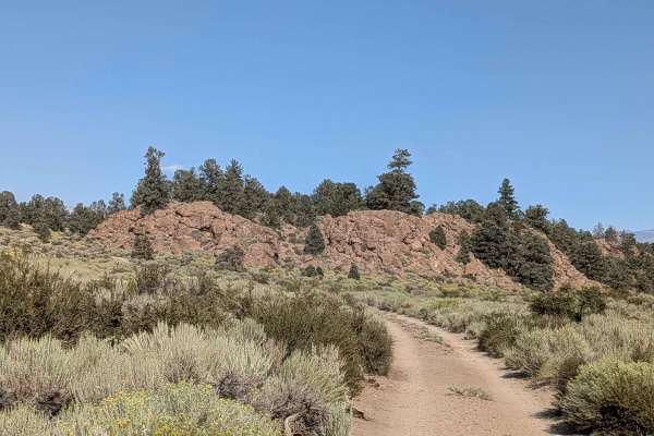
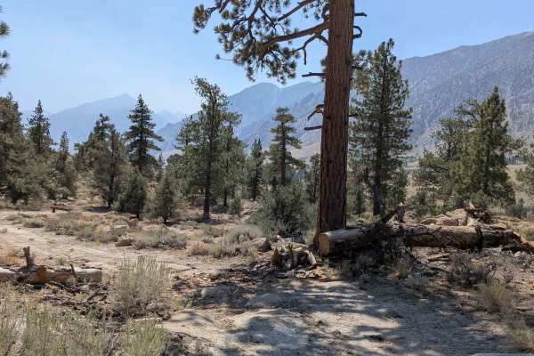
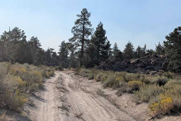
This trail climbs more than 550 feet and drops 160 feet in just over 2.25 miles, running parallel to Highway 395. From the south, it immediately climbs a small hill and continues as a sandy, dusty track with scattered rocks, about 1.5 vehicles wide. The route winds up and down rolling hills, lined with rock formations and tall juniper trees, offering an adventurous alternative to pavement. As you climb, you’re rewarded with sweeping views of the Eastern Sierra, including Mount Tom, Pine Creek Canyon, Bishop, and Swall Meadows. To the east, Casa Diablo Mountain rises in contrast, while the foothills of the Sierra and Lower Rock Creek appear just beyond the highway. There are several good opportunities for dispersed camping along the way, especially in the open meadows. Around mile 1.5, the trail steepens into a sandy hill climb, but cresting it opens up more stunning mountain views in all directions.
Difficulty
The sandy climbs and narrow access require some care, but the trail is approachable for most high-clearance vehicles. For the south entrance, the shoulder of the highway near this trail entrance is very narrow, so use caution when pulling off to start the trail. It is an abrupt turn and immediately climbs up a sandy hill with rocks.