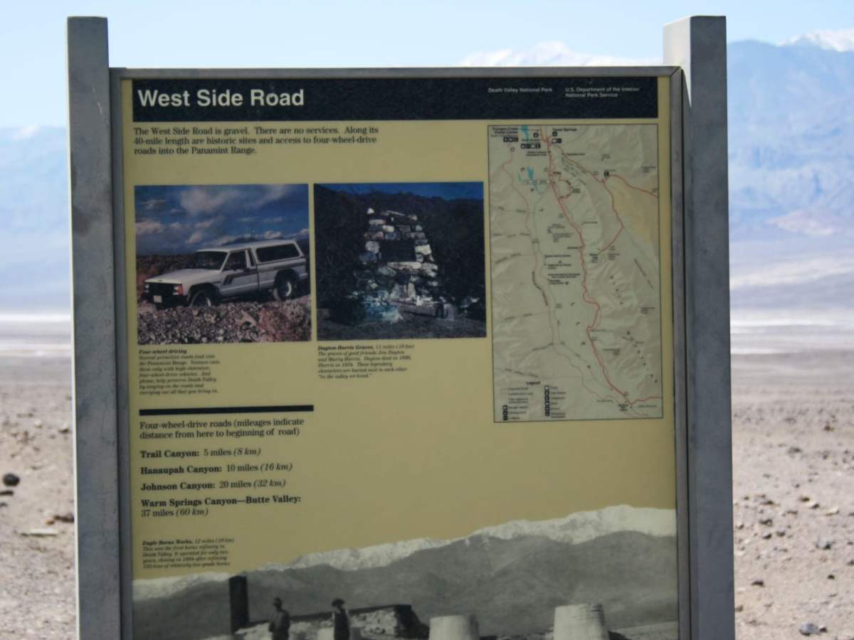
West Side Road - DVNP

Total Miles 35.9
Technical Rating
1 Easy
Best Time Spring, Fall, Winter, Summer
Trail Type Full-Width Road
Accessible By
Open Trail Map

Trail Overview

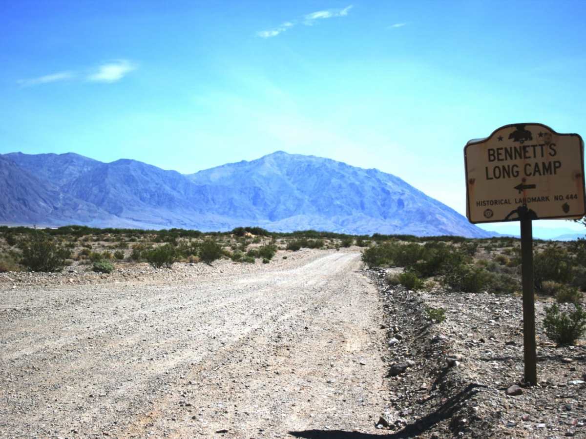
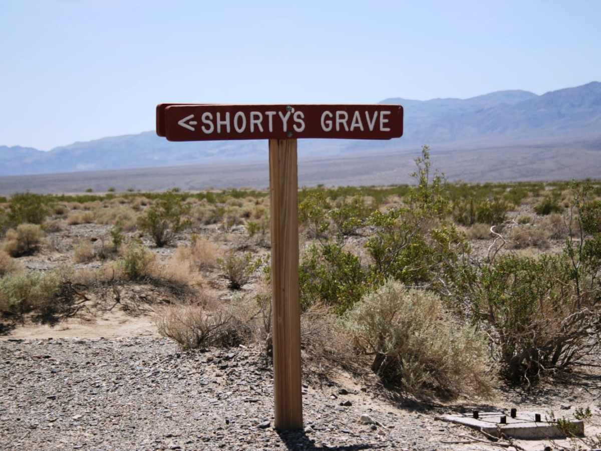
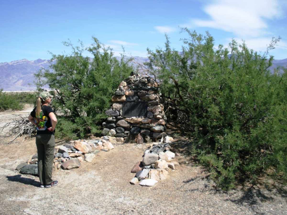
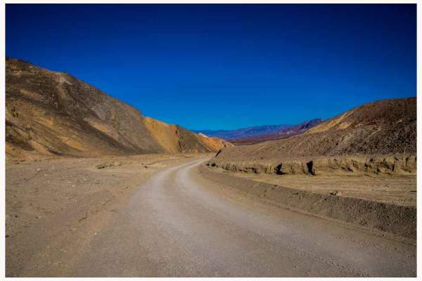
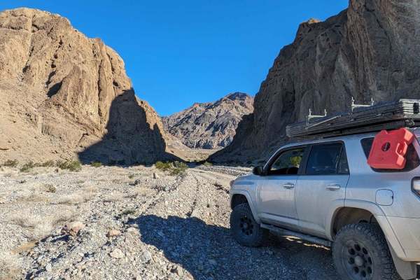
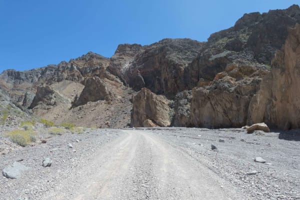
Easy route around the west side of the dry lake bed in Death Valley. This route offers a different, and remote, perspective of the Devil's Golf Course and Badwater Basin. The route starts about 11 miles north of Badwater Basin and continues for 40 miles ending near Ashford Mill Ruins. Eagle Borax Works site, Shorty's Well, the Jim Dayton-Shorty Harris Grave, and Bennett's Long Camp site can all be found along the route. Bennet's Long Camp was the location where the Bennett-Arcane party camped for a month before making their escape in 1850.

Photos of West Side Road - DVNP

Difficulty

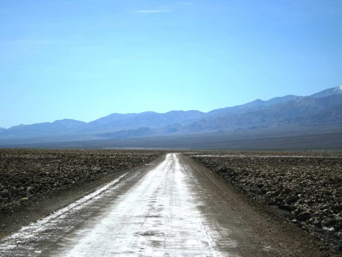
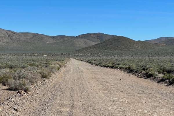
This is a flat and easy 40 mile route. As always in a desert environment, watch the weather as flash flooding can occur with little to no warning. This route is relatively well trafficked. If you are a complete novice, renting a Jeep, or have a cross-over type of vehicle, this is an ideal route. NOTE - this route does flood and can be closed by NPS.

History

Part of the historic routes taken by the '49er families in their attempts to take a shortcut to California and needing to escape the clutches of the hostile environment they found themselves in - now named by them "Death Valley". This route has Bennett's Long Camp site where the Bennett-Arcane contingent of the forty-niners were stranded for a month and nearly died of starvation. Two of their members, left on foot and made it to San Fernando. They gathered supplies, and returned on foot to rescue the party and lead them out of the valley via The Escape Route.Also on this route are the graves of Jim Dayton and Shorty Harris. Be on the lookout for historical markers as you drive.

Technical Rating

1

Status Reports

Add Status Report
Zach Wallin
May 09, 2026
Open
The track is open and dry from end to end. Be sure to have at least one spare tire on this route. We got a flat tire in our rental Jeep Rubicon with E rated tires. Head out prepared and enjoy the side roads that lead to some pretty neat historical mines.
Thomas Hughes
Dec 21, 2025
Open
Still closed. Trail is washed away. Gate closure is where warm springs meets west side road, you can get onto Badwater basin road from warm springs no problem. No gate will stop you. Cannot access west side road north of the turn at warm springs trail.
Jason Stevens
Apr 26, 2025
Open
Full length open from north to south even though Google Maps still says it's closed at the north end. Side note for cell phone users: I had a very strong AT&T signal and the Furnace Creek Visitors Center that I could still pick up, with no booster, where I truck camped at the Hanaupah Canyon alluvial plain.
Michael Yip
Mar 22, 2025
Open
Christopher Toumanian
Mar 19, 2025
Open
Craig Baker
Mar 17, 2025
Open
Recently re-opened in March 2025.
Thomas Hughes
Jan 25, 2025
Open
Can enter from the Southside, but when I passed the northside exit it’s washed out. So if you enter from the Southside you won’t be able to exit (you’d have to backtrack). Park service has it blocked off with excavators and cones so can’t even cross with a 4x4, but CAN access south side.
Brennan Cox
Jan 02, 2025
Open
Drove by this morning and still closed, no reason for the closure posted.
Dean Voiss
Nov 24, 2024
Open
Very northern end of West side road blocked off with construction equipment when we drove by. DVNP website also states northern part of road closed to all traffic due to repairs.
daniel collins
Apr 19, 2024
Open
Javiera Silva
Apr 06, 2024
Open
Ashton Fera
Mar 09, 2024
Open
Demetrius Greenhouse
Feb 18, 2024
Open
The northern part of the trail is completely flooded. The trail is accessible from the southern end, but only for a couple miles.

West Side Road - DVNP Trail can be accessed by the following ride types:

  • Single Track
  • High Clearance
  • Full Width

West Side Road - DVNP Map

The onX Offroad Difference

onX Offroad combines trail photos, descriptions, difficulty ratings, width restrictions, seasonality, and more in a user-friendly interface. Available on all devices, with offline access and full compatibility with CarPlay and Android Auto. Discover what you're missing today!

Open Trail Map