Trail Overview
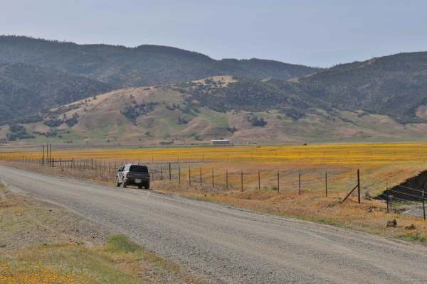
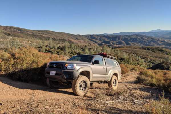
Walker Ridge Road to Indian Valley Reservoir Road is a 9.7-mile scenic gravel connector route providing direct access to the Indian Valley Reservoir and Walker Ridge Recreation Area. The route climbs to a maximum elevation of 2,813 feet, offering expansive views of the chaparral-covered hills and serving as a gateway to more challenging side trails. Accessible to high-clearance vehicles under dry conditions, the route features gentle grades with 1,277 feet of elevation gain and 1,768 feet of descent.
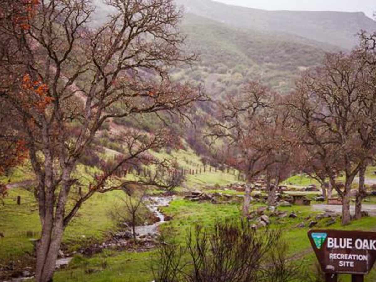
At the end of the route, the Indian Valley Reservoir offers opportunities for boating, fishing, camping, and hiking. The surrounding lands, managed by the Bureau of Land Management (BLM) and California Department of Fish and Wildlife (CDFW), feature primitive camping and staging areas. While the main road remains a reliable year-round thoroughfare, weather can impact traction, and wet conditions may make dirt sections slick.
Access Description
The route crosses Bureau of Land Management (BLM) and California Department of Fish and Wildlife (CDFW) lands. High-clearance vehicles are recommended. There are no fees or permits required to drive the main road, but users should check local regulations regarding OHV registration (green or red stickers in California) and seasonal fire restrictions.





 Offroad