Trail Overview
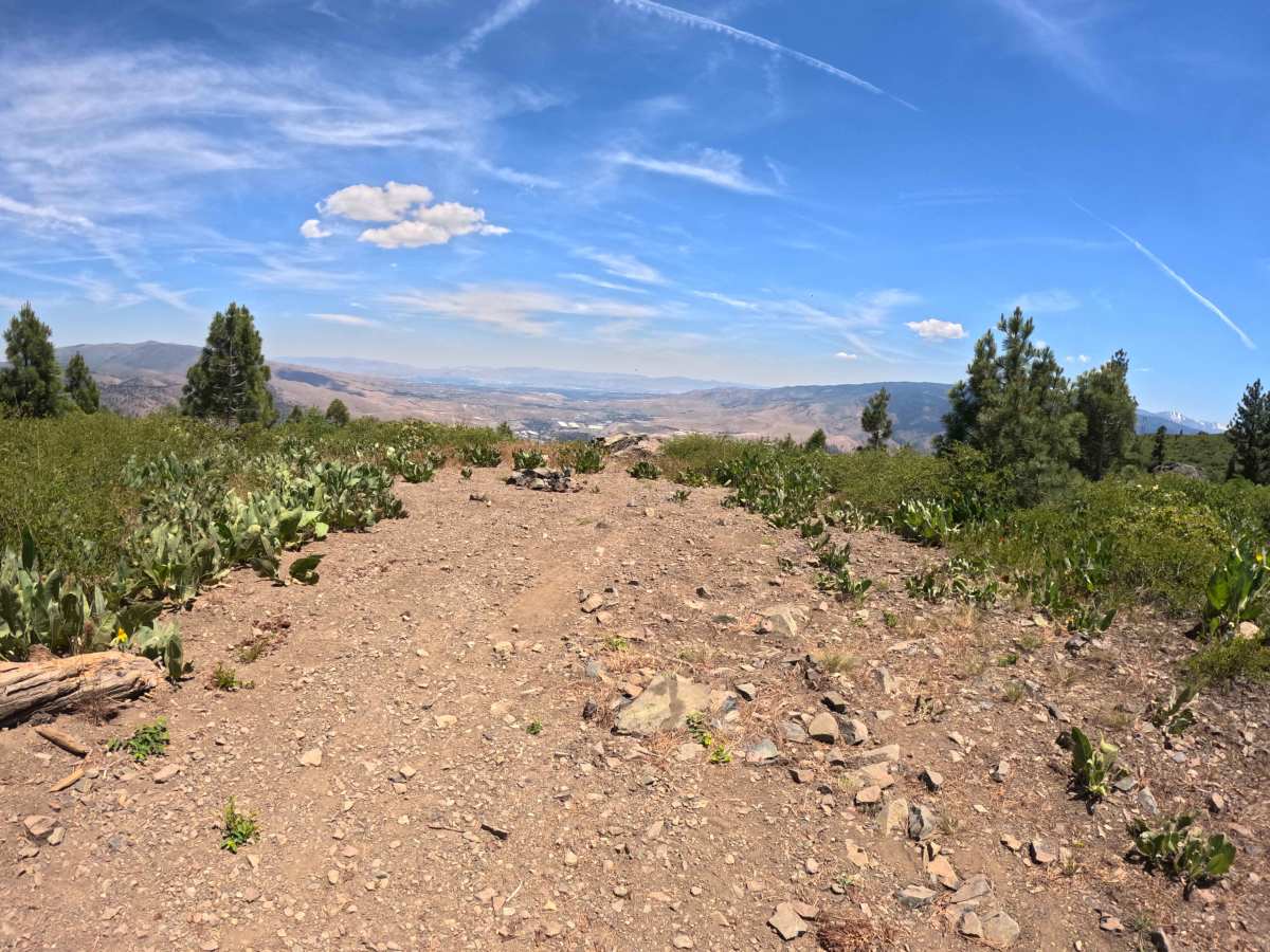
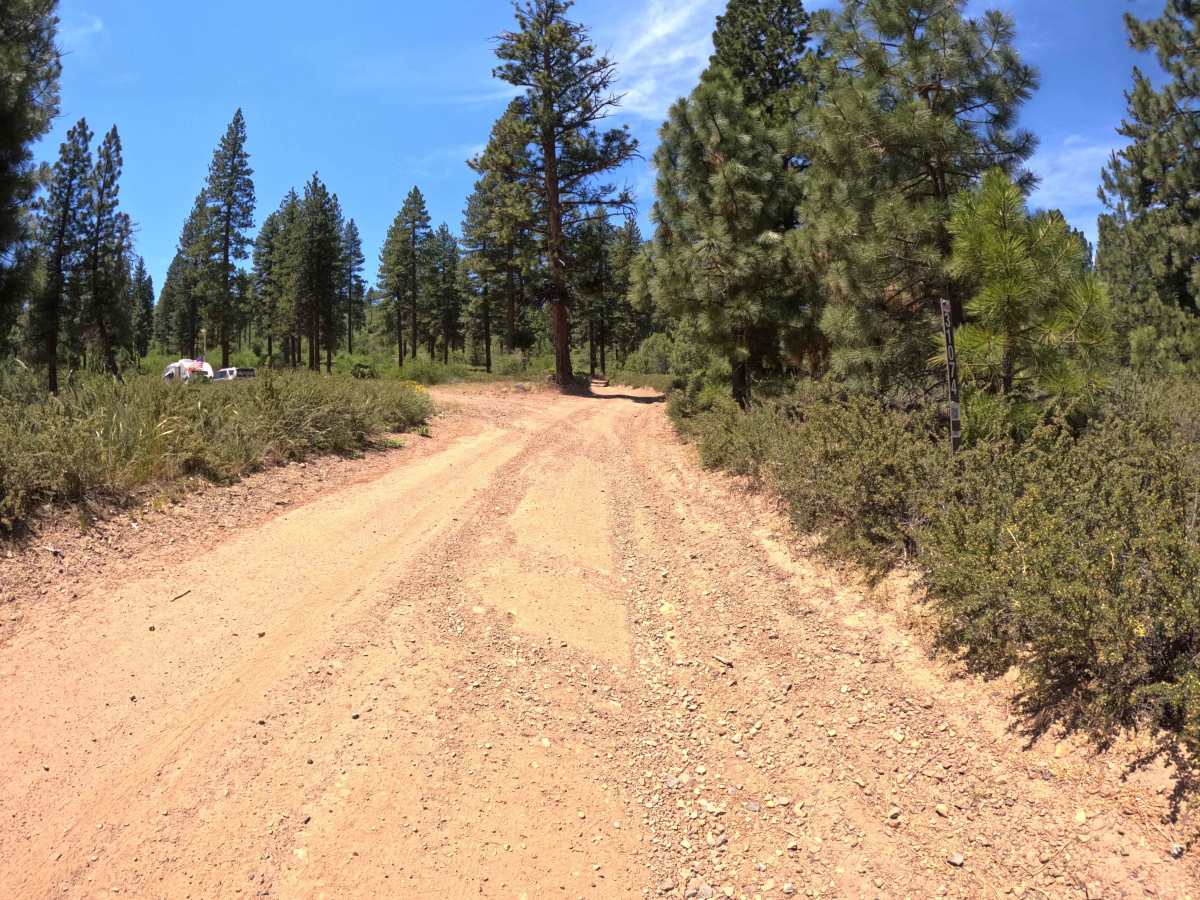
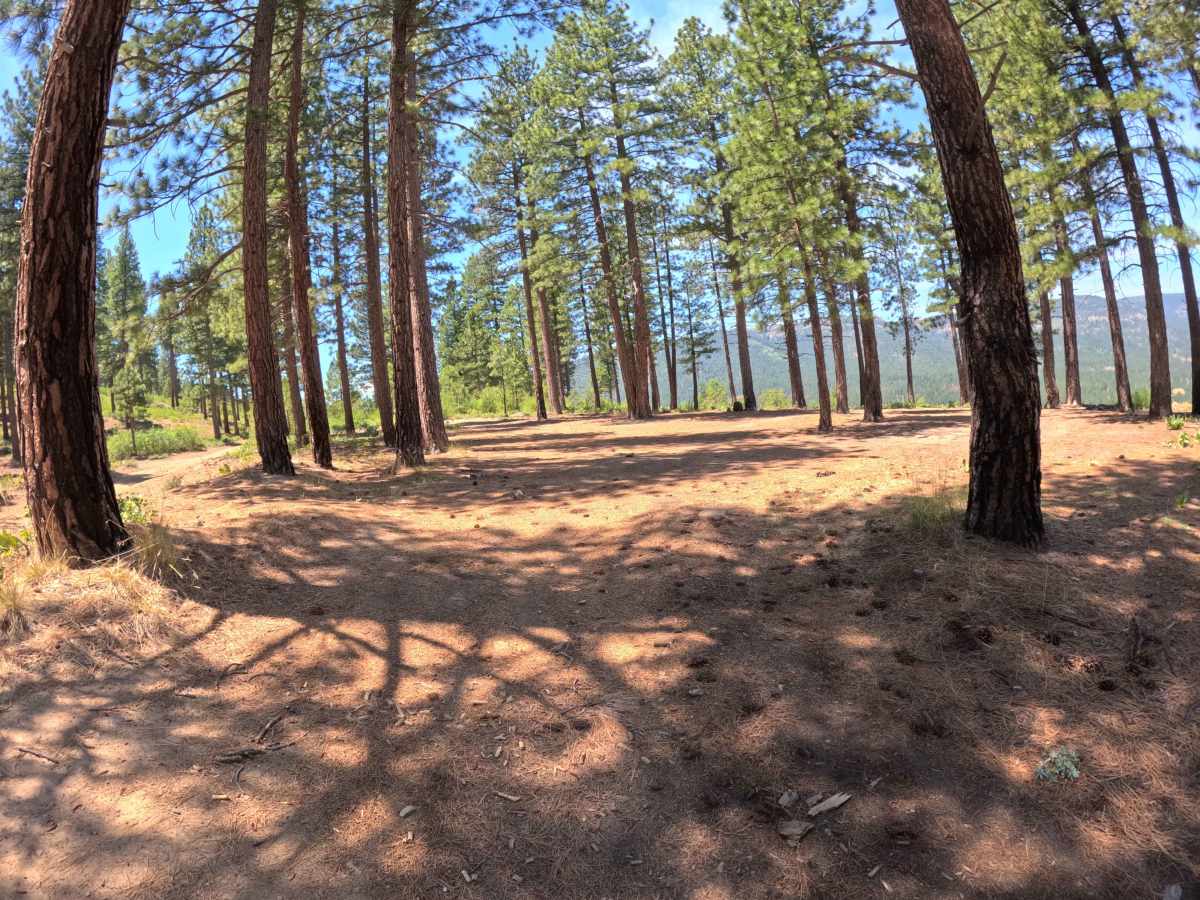
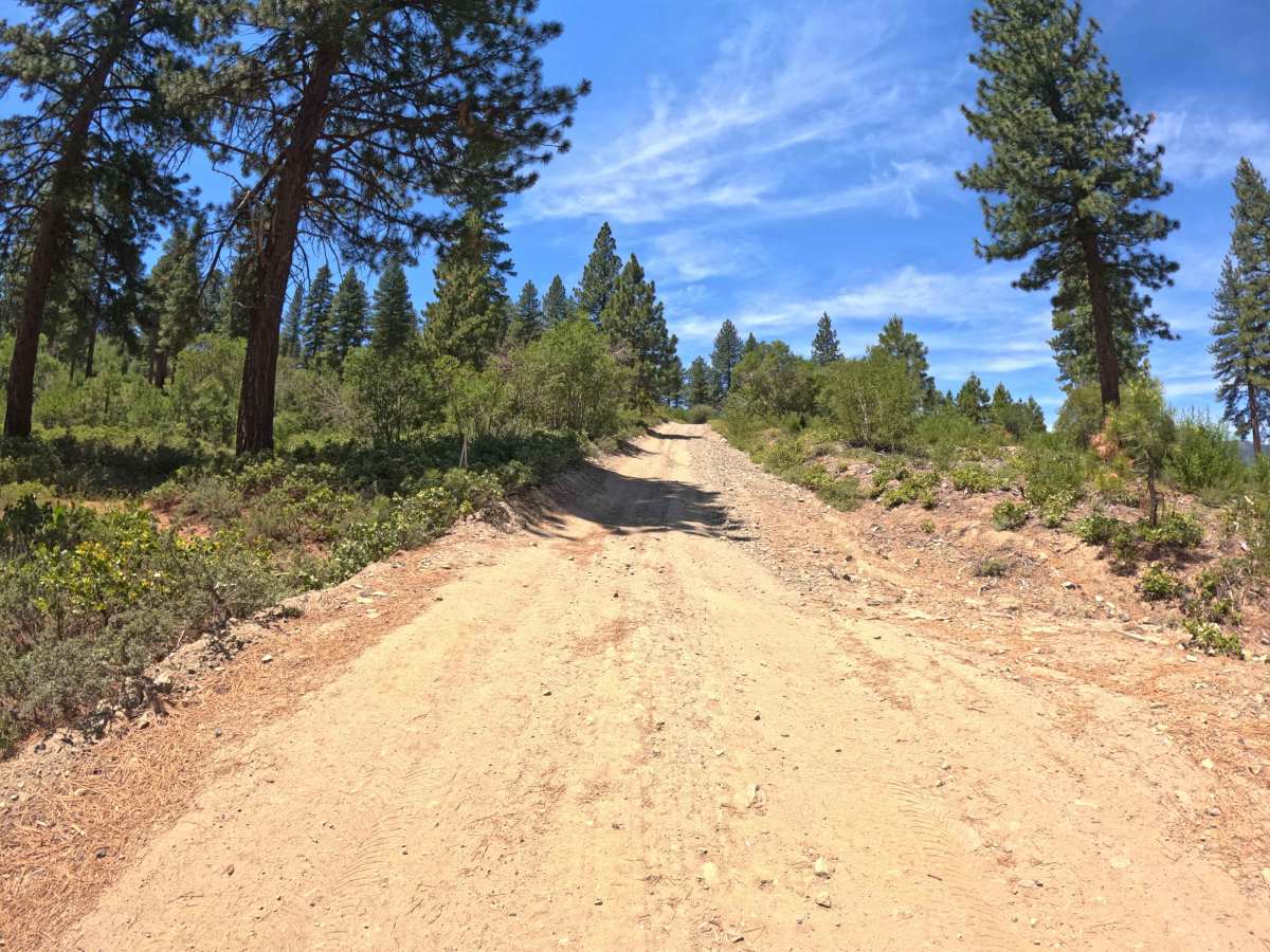
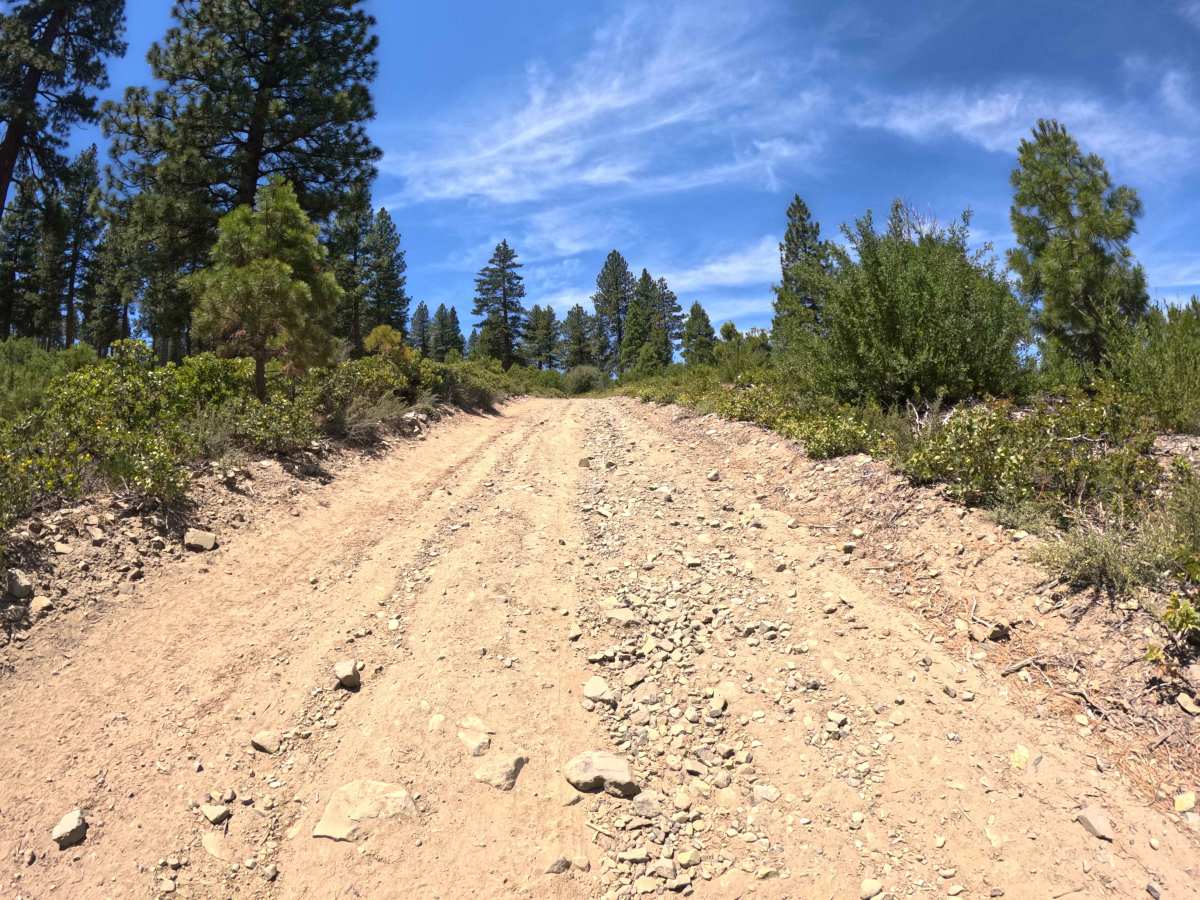
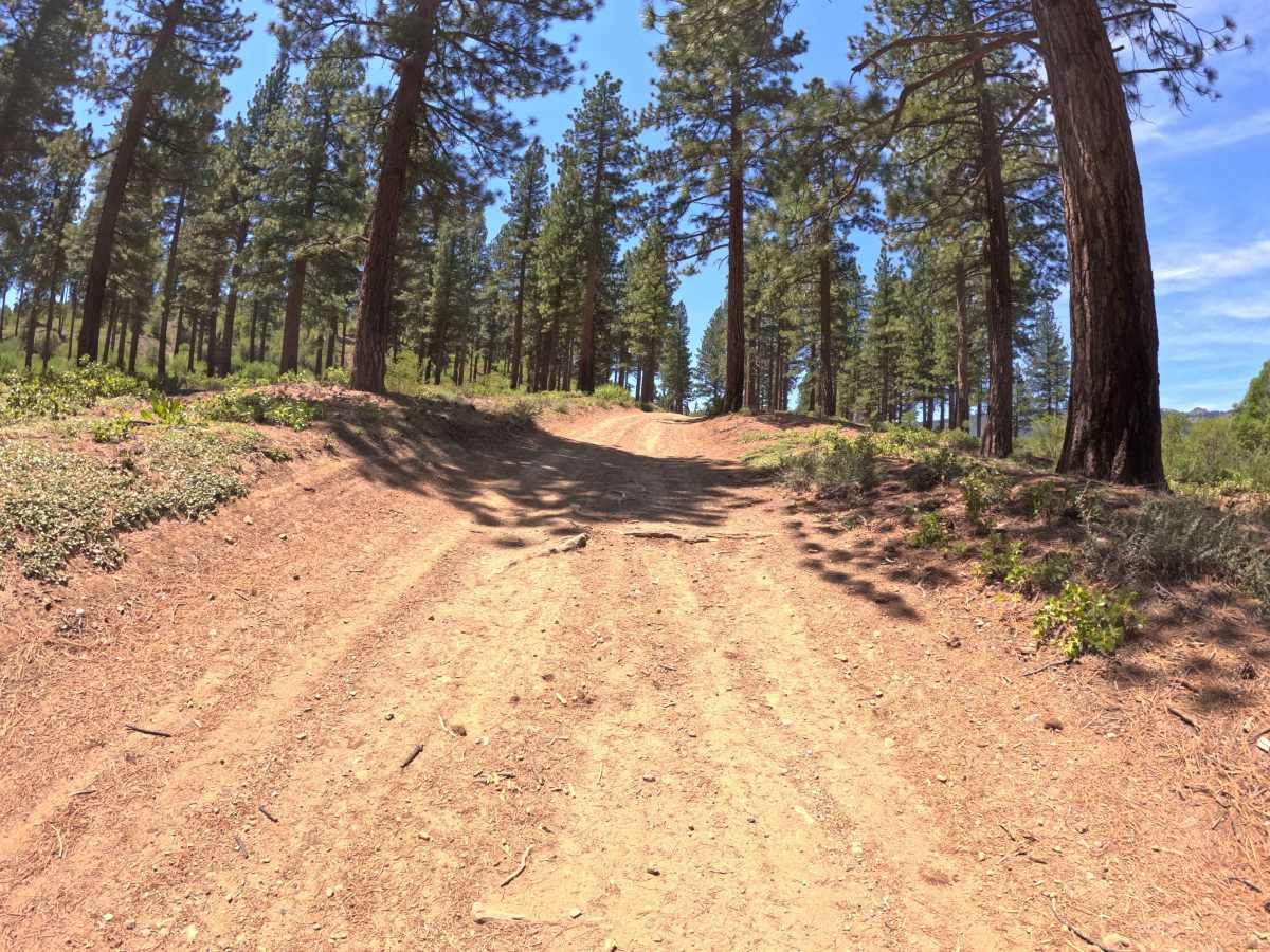
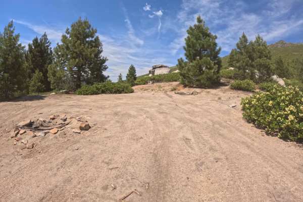
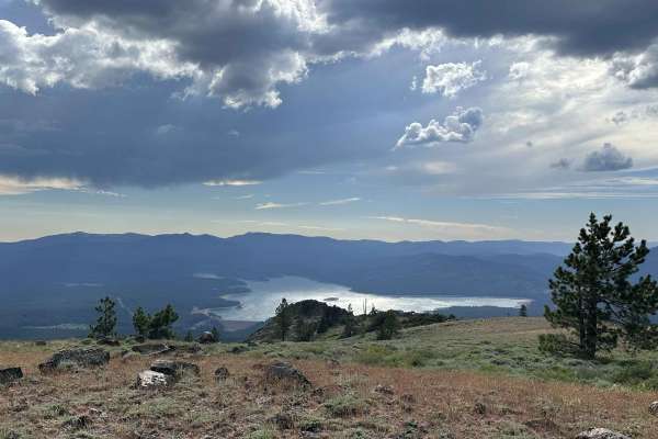
Set within a scenic high-elevation pine and fir forest with mountain chaparral along exposed ridge shoulders in the Tahoe National Forest, Verdi Ridge Loop Road - FS 31074 provides a dramatic mountain traversing route. Despite its name, this 5.2-mile thoroughfare is not a circular loop, but rather an essential connector accessed off Dog Valley Road that climbs to Verdi Ridge before descending to join Sunrise Road near the national forest boundary. Outdoor enthusiasts travel this path to reach the 7,300-foot summit crest for dispersed mountain camping, take in breathtaking panoramic vistas looking down into Verdi and Reno, or connect deeper into the regional off-road network. The driving surface consists of a narrow single-lane dirt track layered with loose gravel and small rocks, earning an approachable Grade 2 difficulty rating. Leaving Dog Valley Road, the track climbs steadily through six winding switchbacks, navigating mild off-camber turns and built-up water runoff diversions. Near the summit, a small primitive campsite offers an ideal setup for rooftop tents amidst grand valley views. As the trail descends toward Sunrise Road, the corridor narrows with encroaching brush where light paint pinstriping is possible.
Difficulty
Earning an accessible Grade 2 difficulty rating, this 5.2-mile ridge connector features a firm dirt base scattered with loose rocks smaller than 6 inches. Non-technical hazards include steep road gradients, mild off-camber slopes under 20 degrees, built-up runoff diversion humps, and narrow, brushy sections that may brush against vehicle sides. Drivers should maintain a controlled speed on steep switchbacks, clear water diversions carefully to protect underbody clearance, and utilize wider turnouts when passing oncoming traffic.