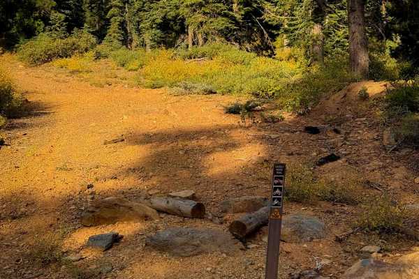
Trail Overview
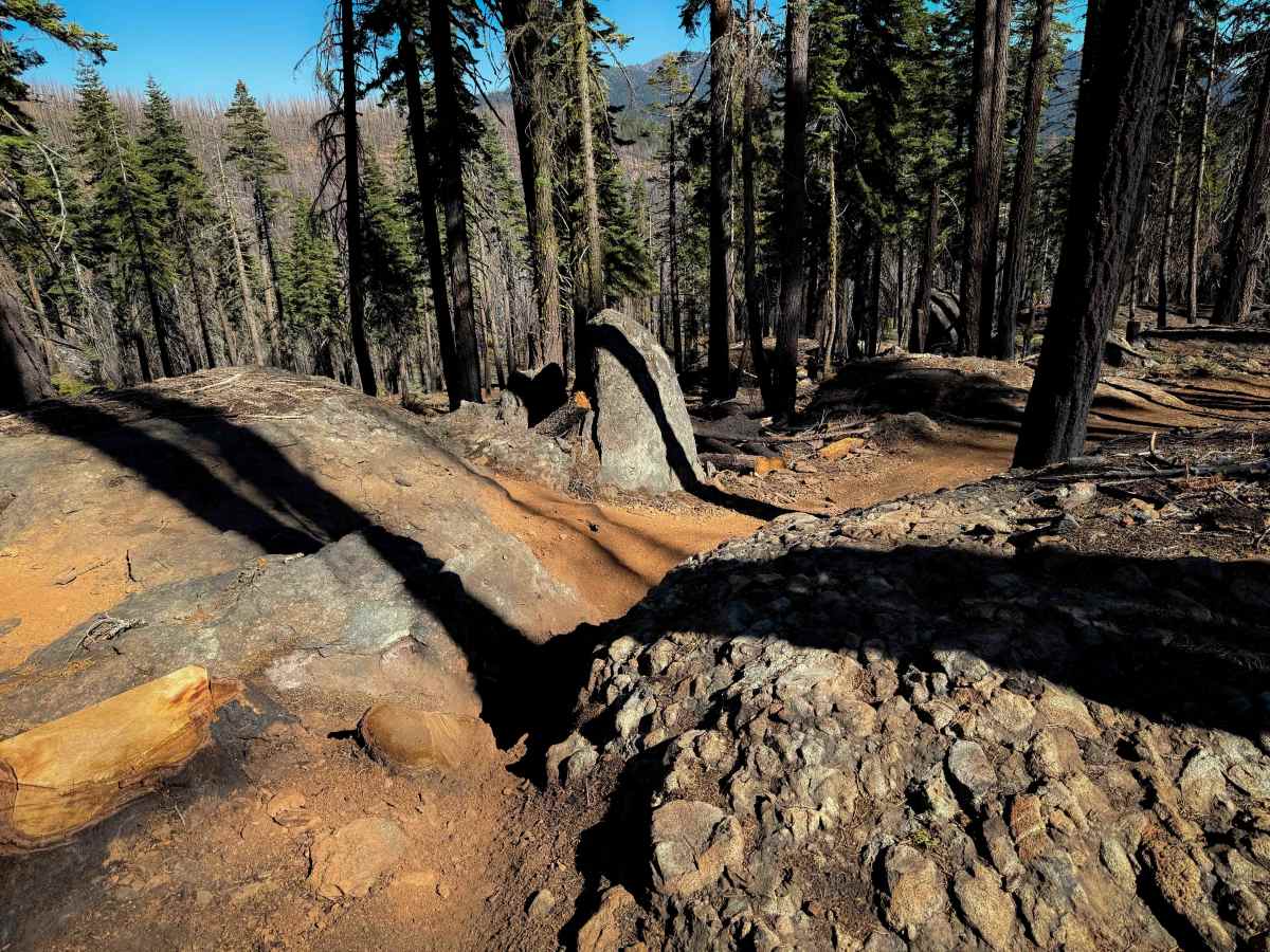
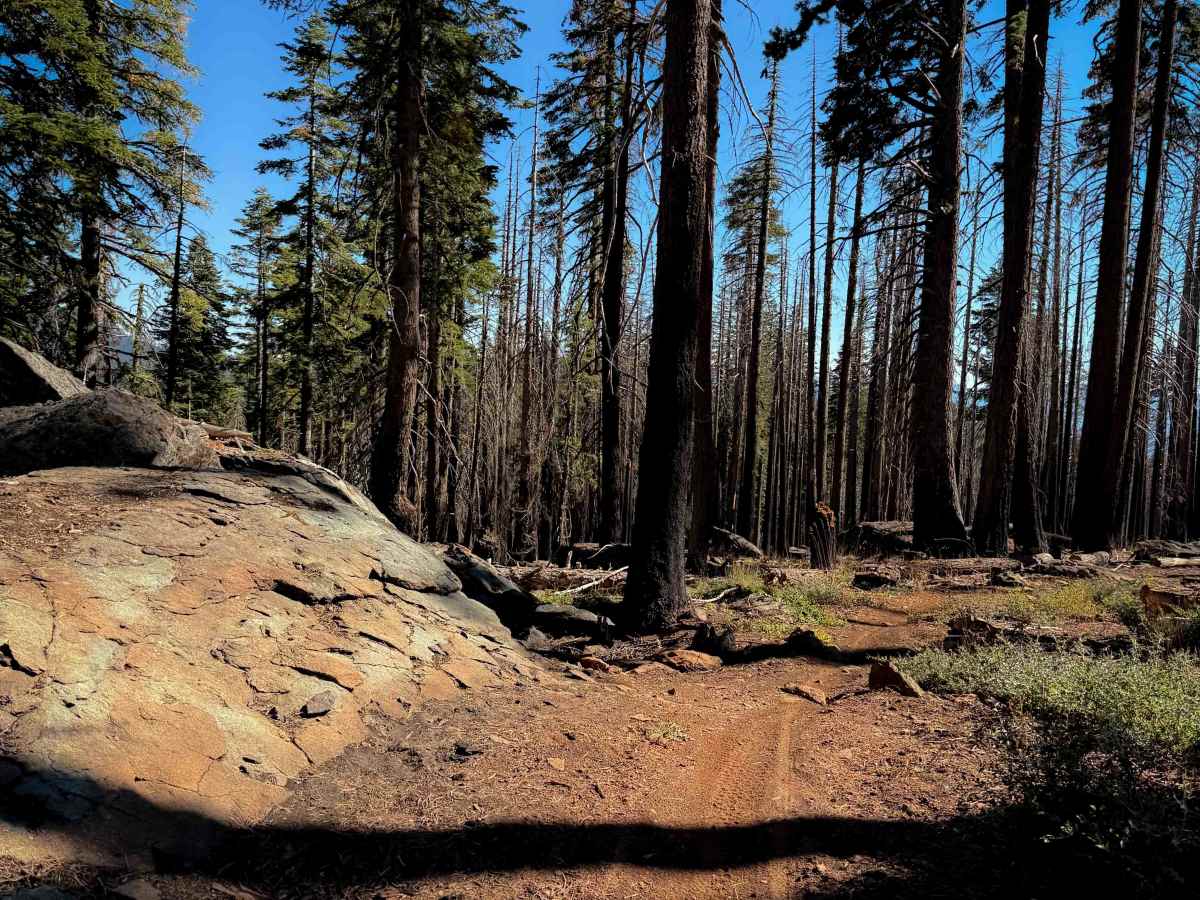
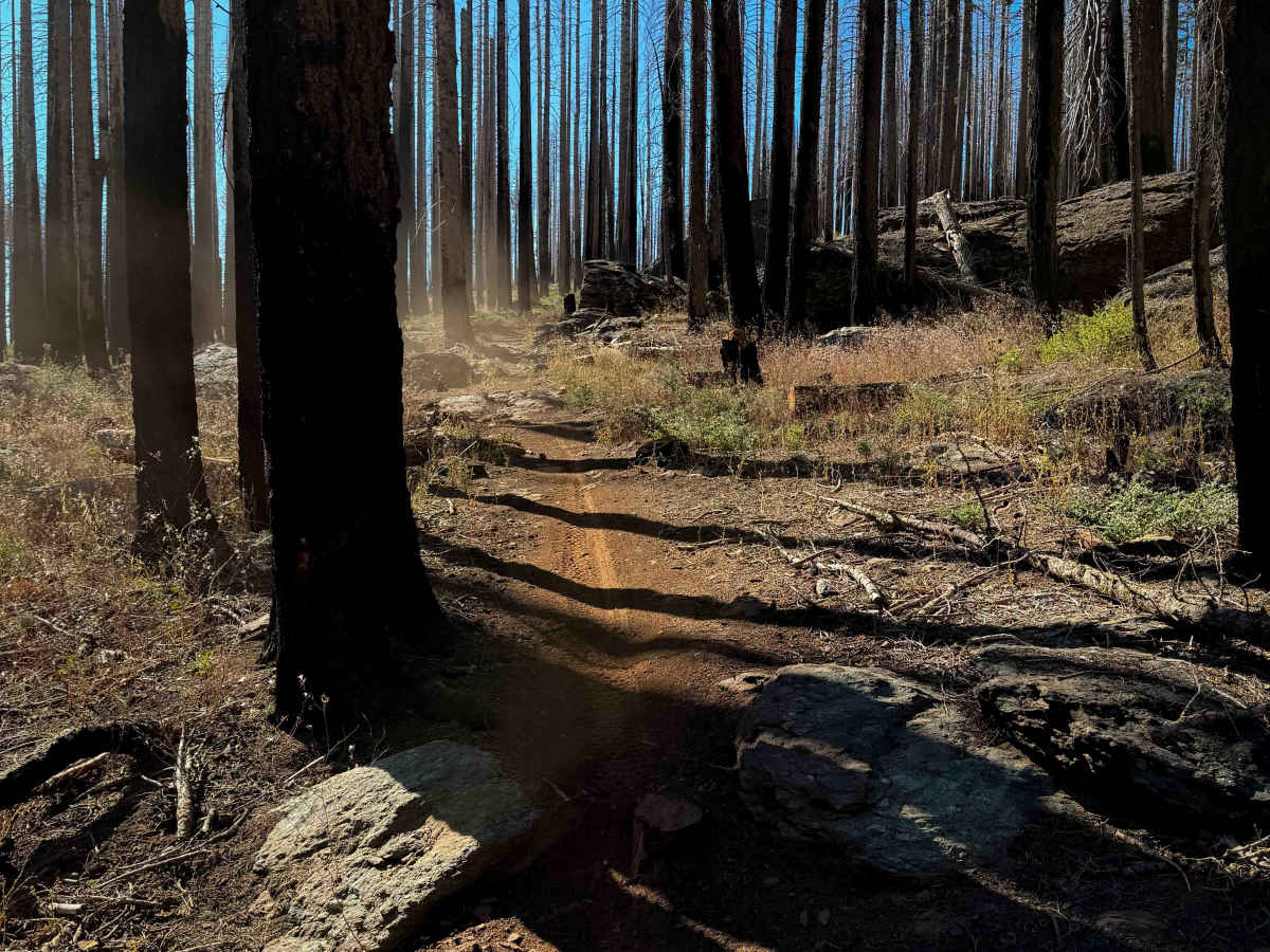
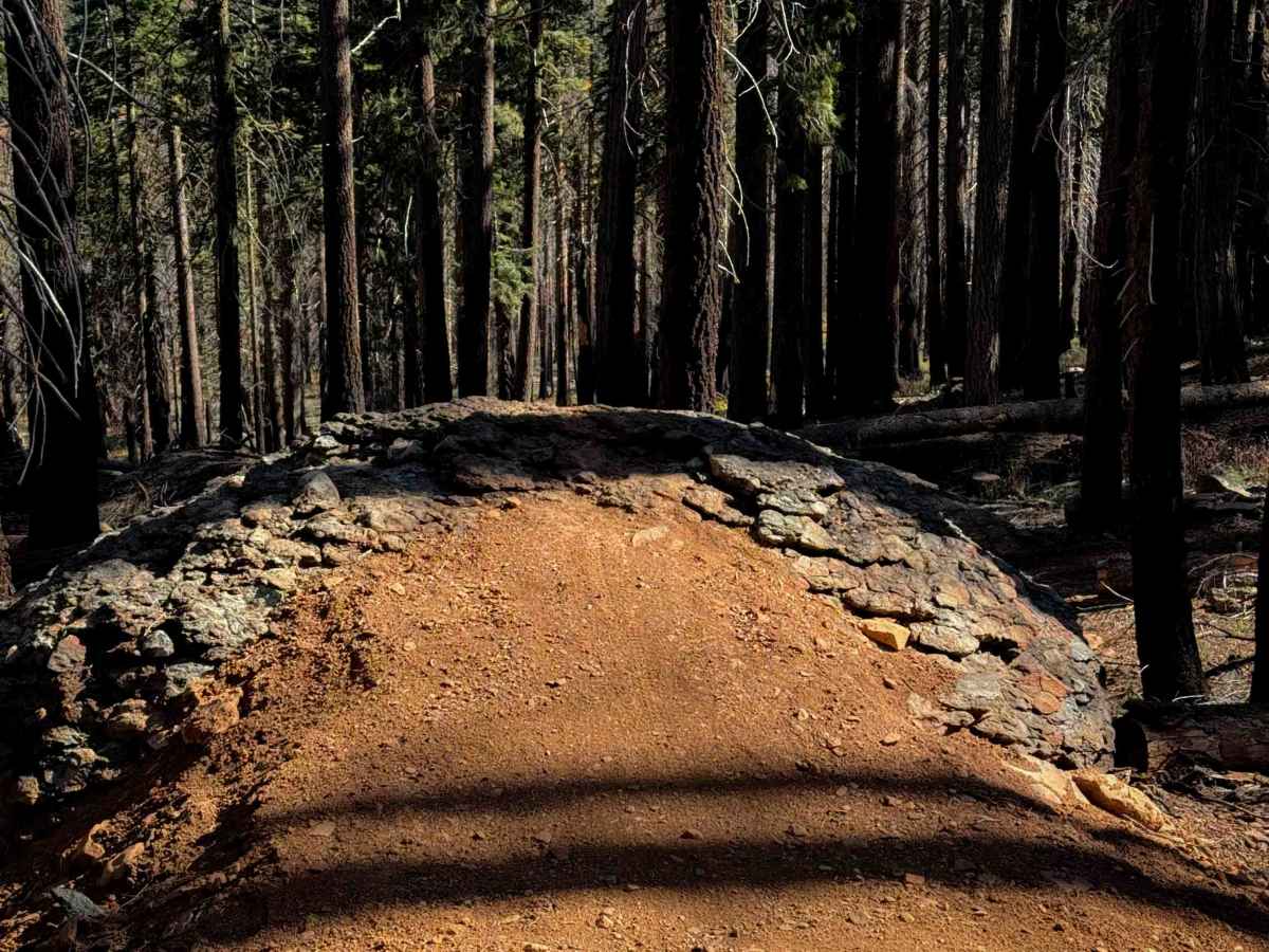
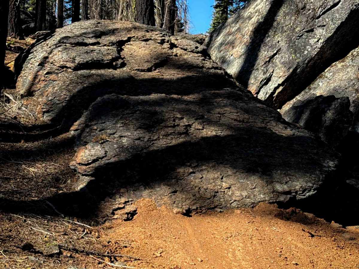
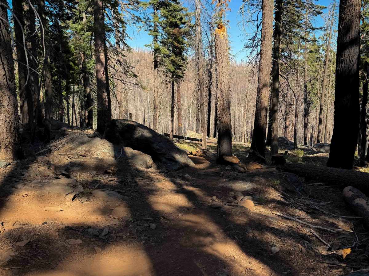
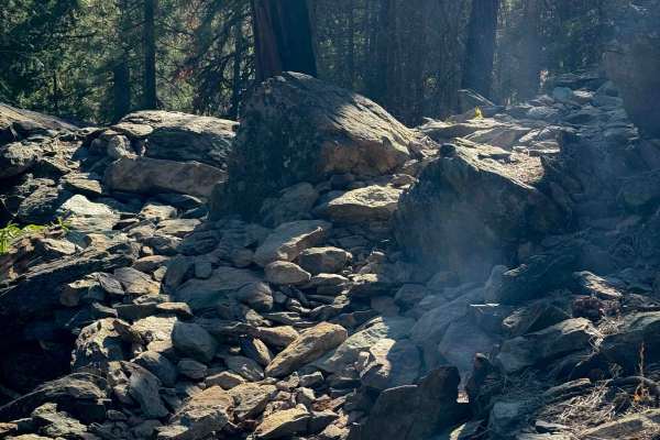
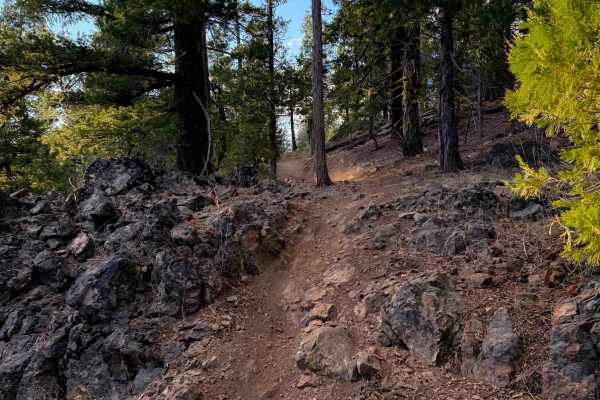
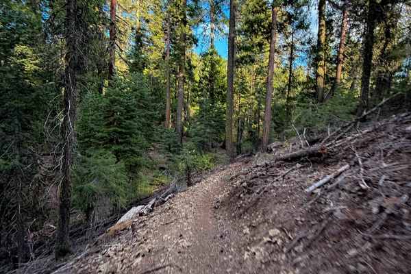
The north end of Upper Tollgate drops off of the Mount Hough trail, and it descends through a scenic and rocky section of forest. This segment of the trail has been built up with lots of dirt jumps and rock features by the mountain bikers, making it a fun downhill descent. The majority of the rock features are optional, with a line next to it to bypass the obstacle. They are mostly large boulders that you can ramp down or wall ride. There are a lot of short embedded boulder faces that aren’t optional, however, but are rounded and ramped and are easy to ride over, not ledges or drop-offs. In between the features, the trail is fast and flowy with big banked corners. In general, this is one of the rockier trails in the trail system, though. There are a couple of cracks between the boulders you have to ride down. It gets shelfier on the south end as it curves around the hillsides. This one could be really fun for someone wanting to hit all the features. After 3.9 miles and over 1,100 feet of elevation loss, it ends at an intersection with Lower Tollgate.
Difficulty
This trail is moderate because it has a lot of embedded rock surfaces that you have to ride over, including a couple small ledges and rock pinches. This one could be much more difficult though if riders choose to hit all of the big rock features along the route that are optional obstacles.