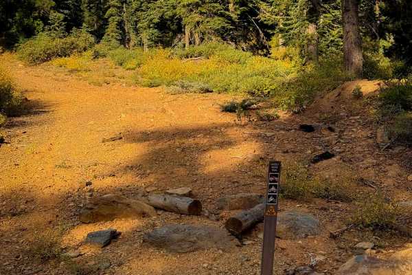
Trail Overview
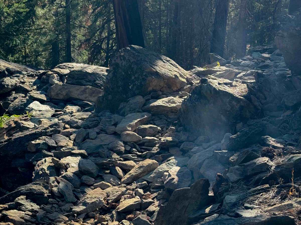
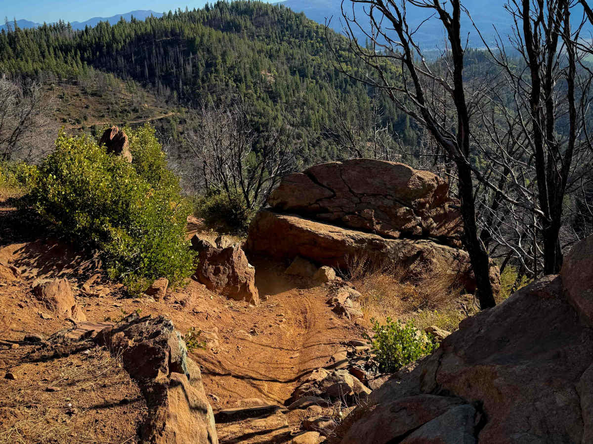
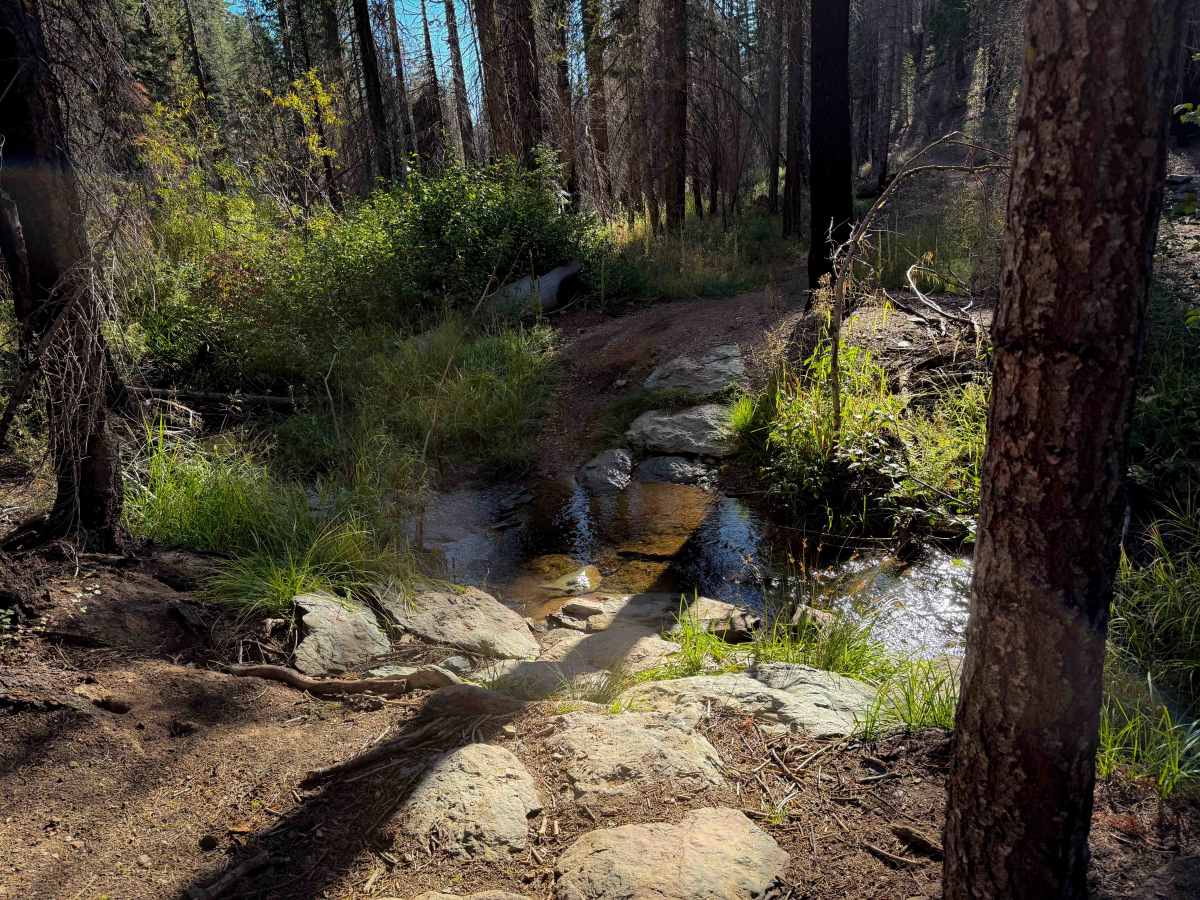
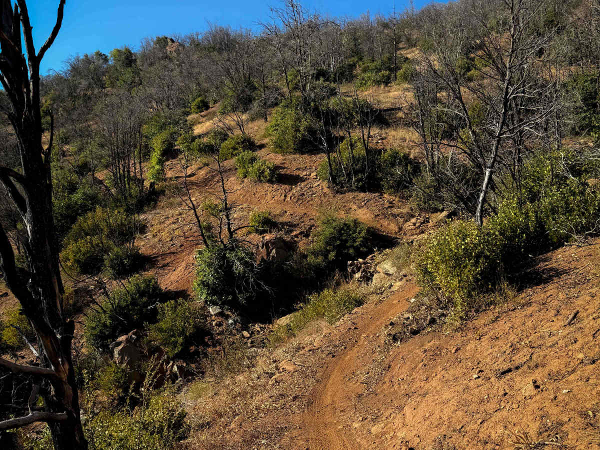
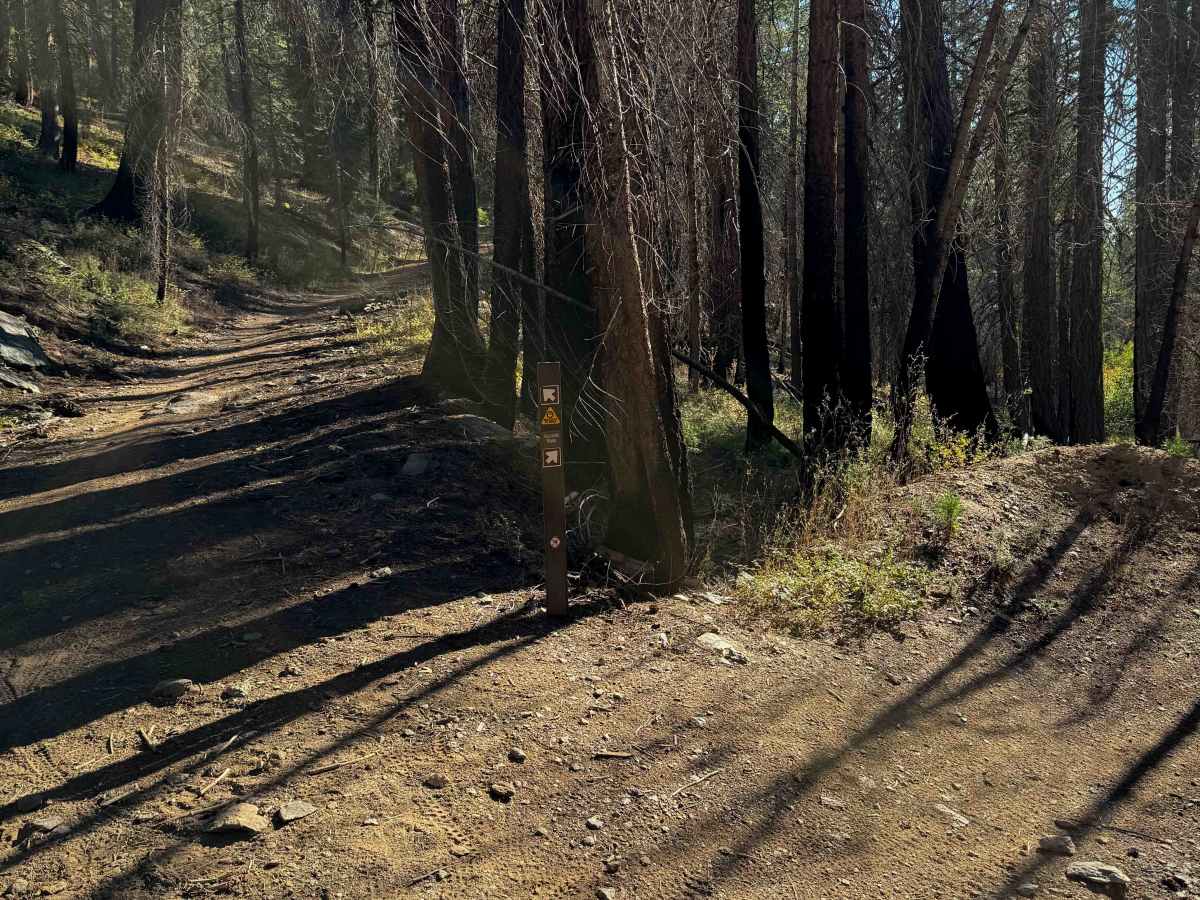
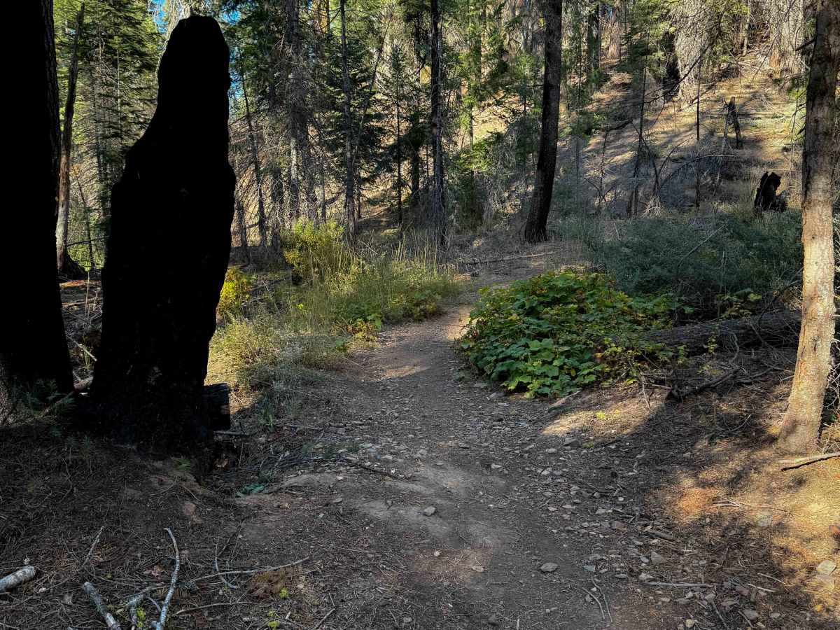
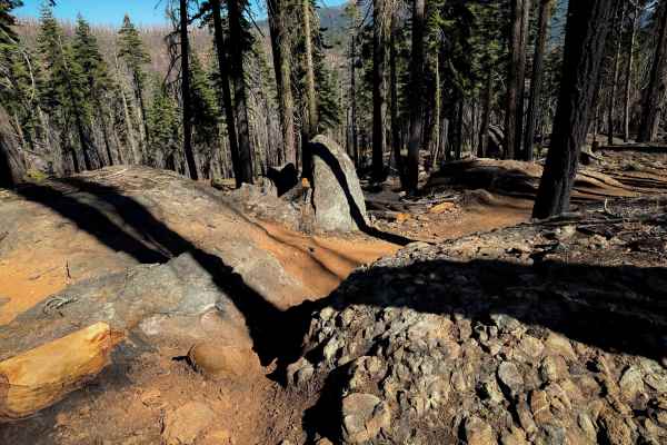
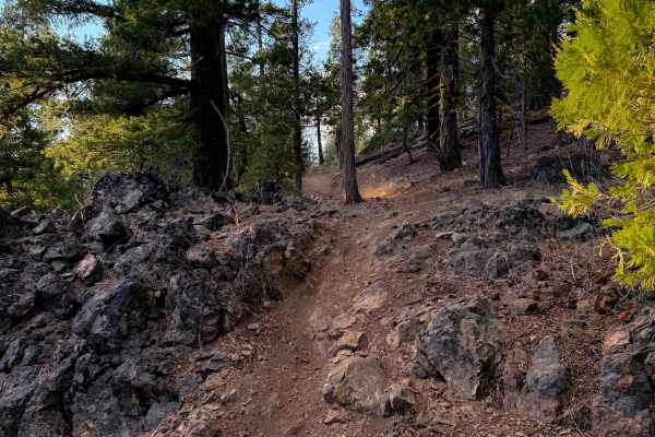
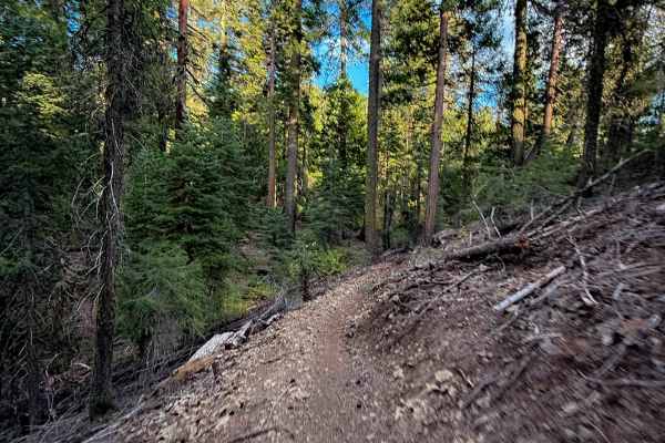
The lower 4.3 miles of Tollgate are fun and technical. The east entrance starts off of Mount Hough Trail, and immediately crosses Tollgate Creek, which was shallow with a few embedded rocks. This was one of the only creeks with running water in the whole trail system in late summer as it is a really dry area. It goes through a similar terrain as Upper Tollgate for the first bit of the trail, with one big rock feature that is a moderate rock ledge with a loose pile of rocks on the approach. It starts to leave that rocky south-facing forest, and enters a north-facing forest that is drier and grassier, becoming a smoother and flowier trail on more exposed hillsides. It has some big banked corners and great down valley views. As it curves around the hillside before crossing Hough Road (25N14), there are a couple of bigger rock obstacles again from embedded rock, and some more significant shelf exposure that makes it more technical. It crosses Hough Road and has another little segment that is shelfy and narrow, before connecting to Mount Hough Trail on the south end. It loses 1,700 feet of elevation overall from east to west.
Difficulty
This is a moderate route due to a couple big rock obstacles, significant exposure, and narrow segments of trail. This is more suited to riders with more experience.