Trail Overview
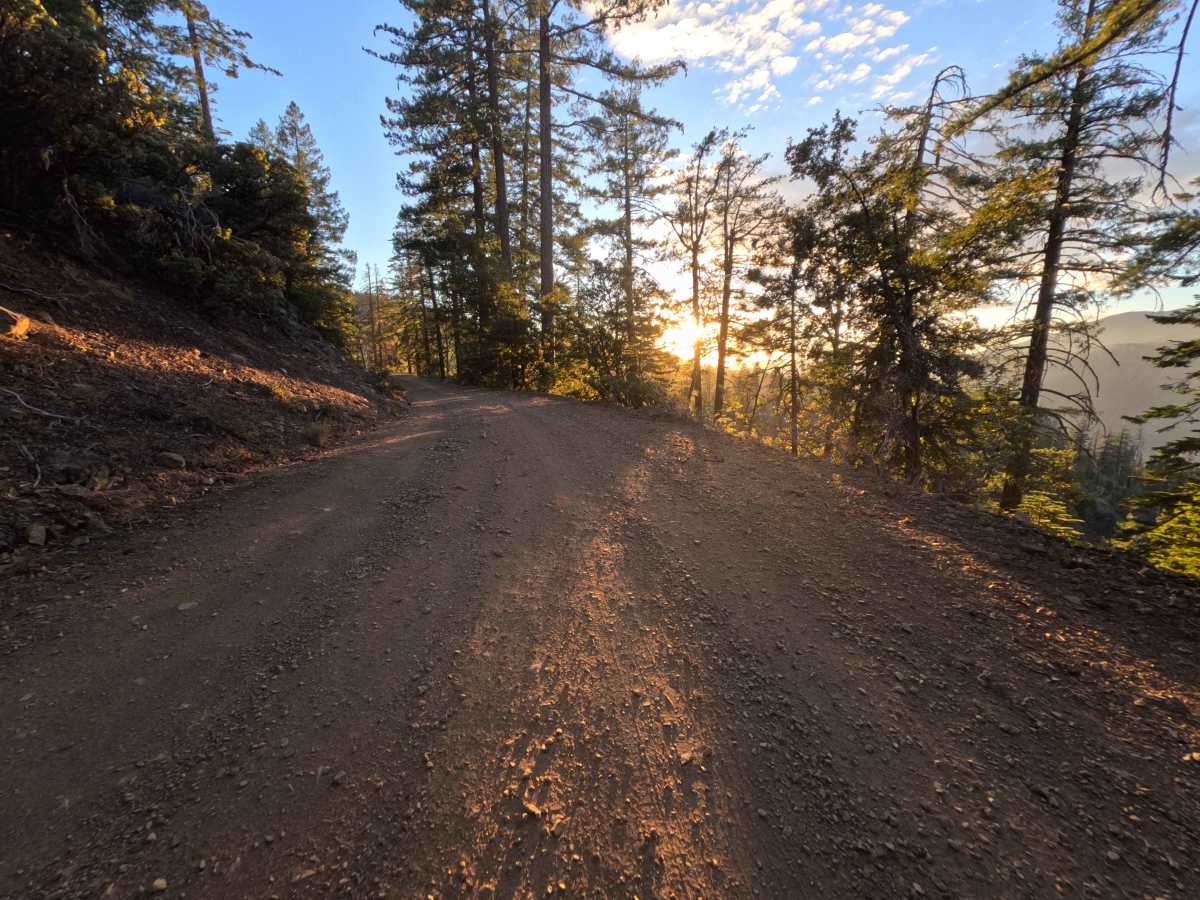
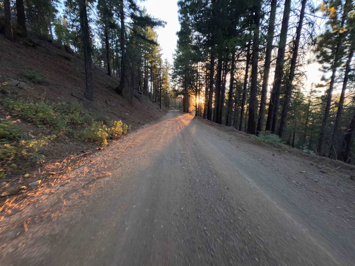
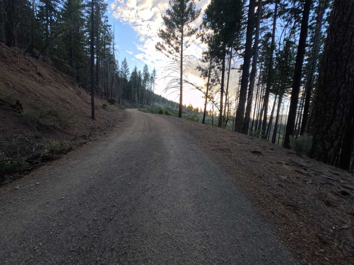
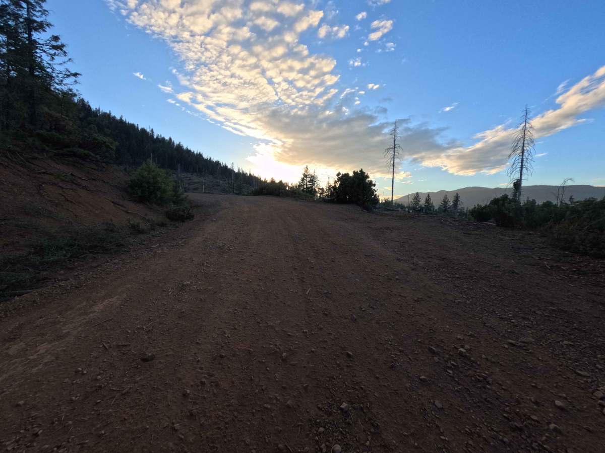
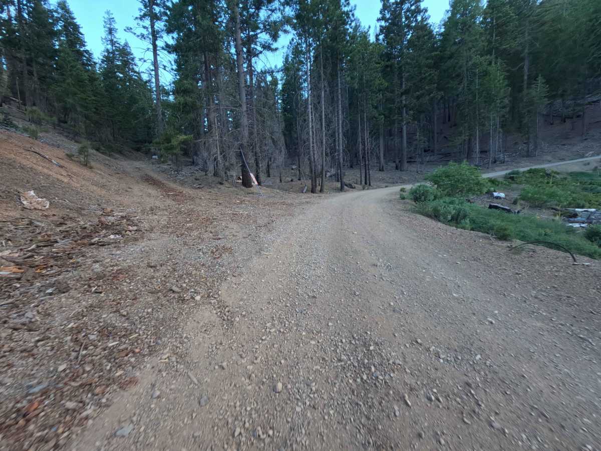
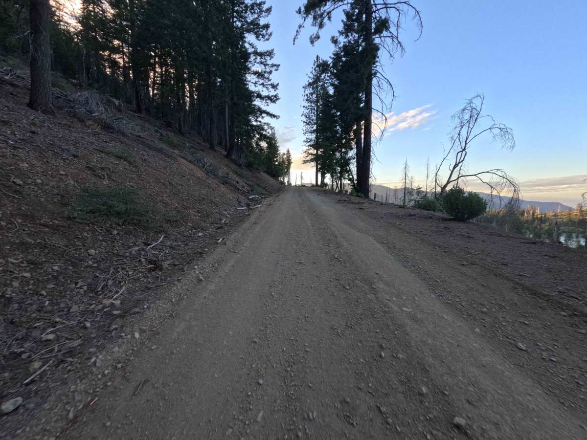
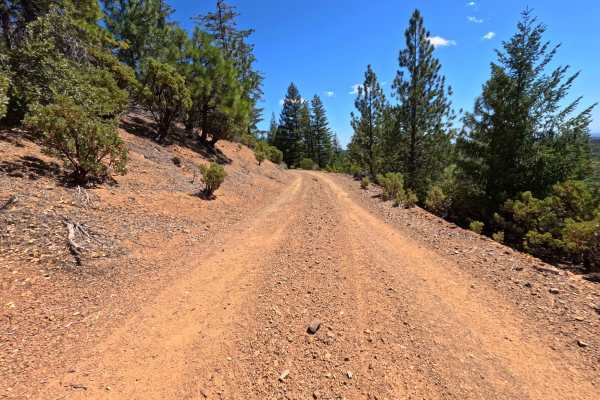
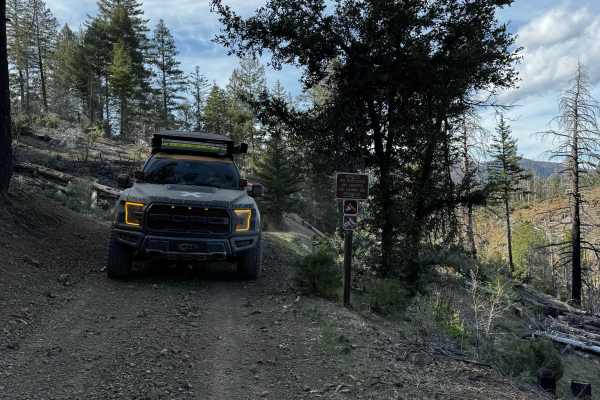
Set within a scenic mountain pine forest and chaparral understory recovering from the 2018 Ranch Fire in the Mendocino National Forest, Upper Letts Lake - FS 17N09 serves as a pleasant connecting route. Accessed directly from the Letts Lake Campground area, this 2.0-mile single-lane forest road climbs smoothly along the mountainside to provide throughput deeper into the forest toward Board Camp Ridge Road. Public land visitors frequently travel this route to reach the popular Letts Lake day-use area for fishing, kayaking, and picnicking, or to secure a small primitive dispersed campsite located at the upper junction. The driving surface consists of a well-maintained, wide single-track dirt road that transitions from paved asphalt to firm gravel with zero rutting. Departing the lake basin, the path ascends steady mountain contours while offering scenic elevated views over the water below. The route passes through a seasonal forest gate near 0.5 miles and features frequent wide turnouts for passing oncoming traffic before concluding at 2.0 miles, where the roadway continues onward as Board Camp Ridge Road.
Difficulty
This 2.0-mile forest connector route presents a smooth, well-graded dirt and gravel surface free of technical obstacles. Steep rock ledges, deep mud holes, washouts, and ground-clearance hazards are absent throughout the climb. Vehicles can easily negotiate the gentle ascent during open seasonal periods by maintaining a steady speed and utilizing the roadside turnouts to yield for oncoming traffic.