Trail Overview
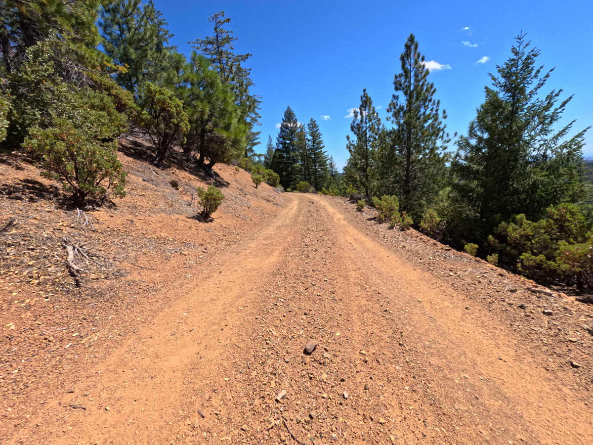
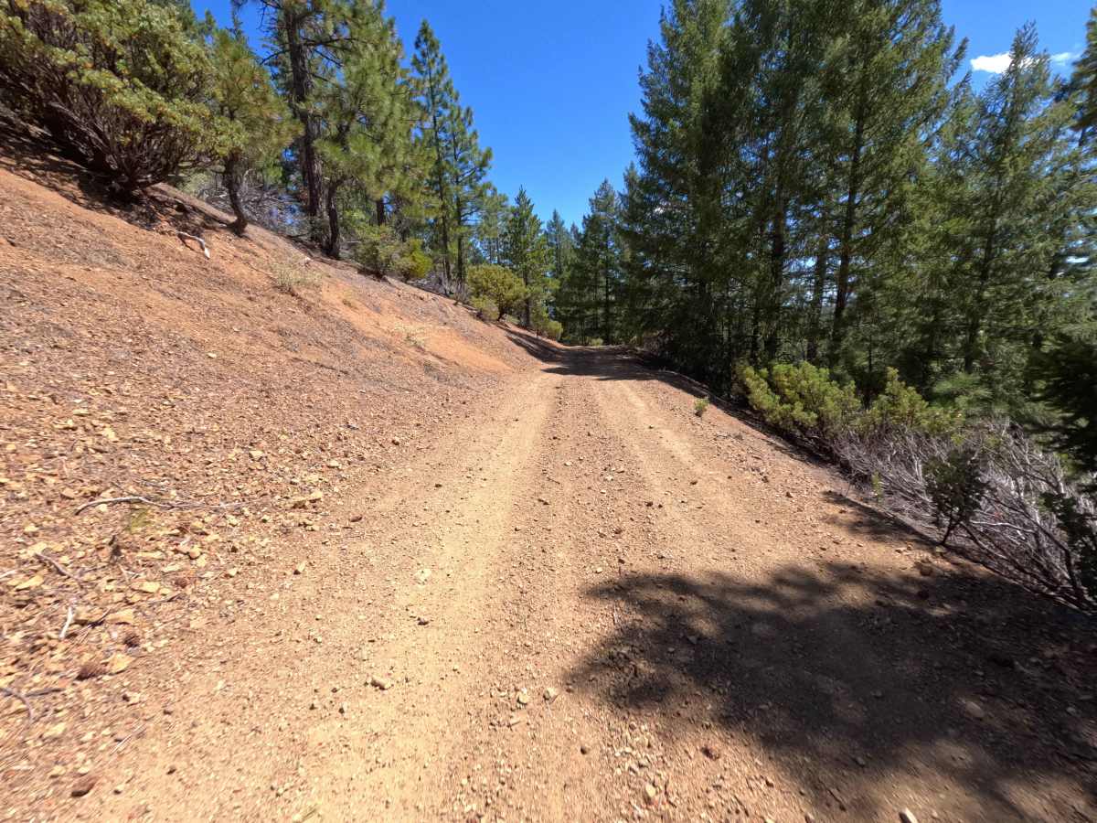
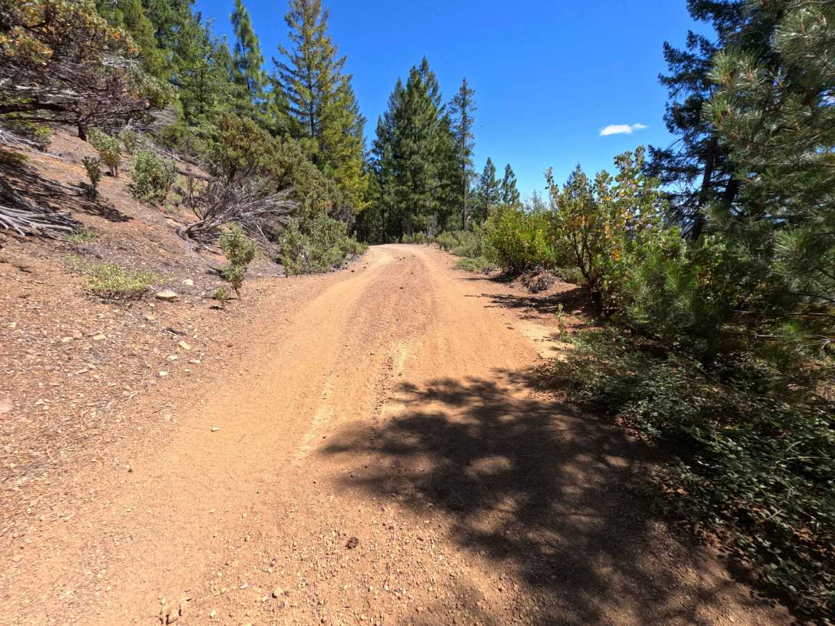
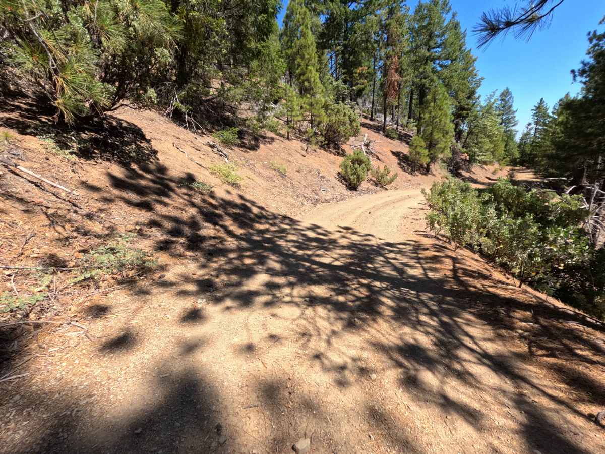
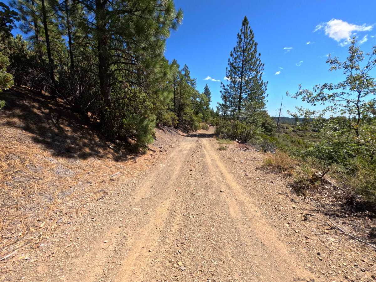
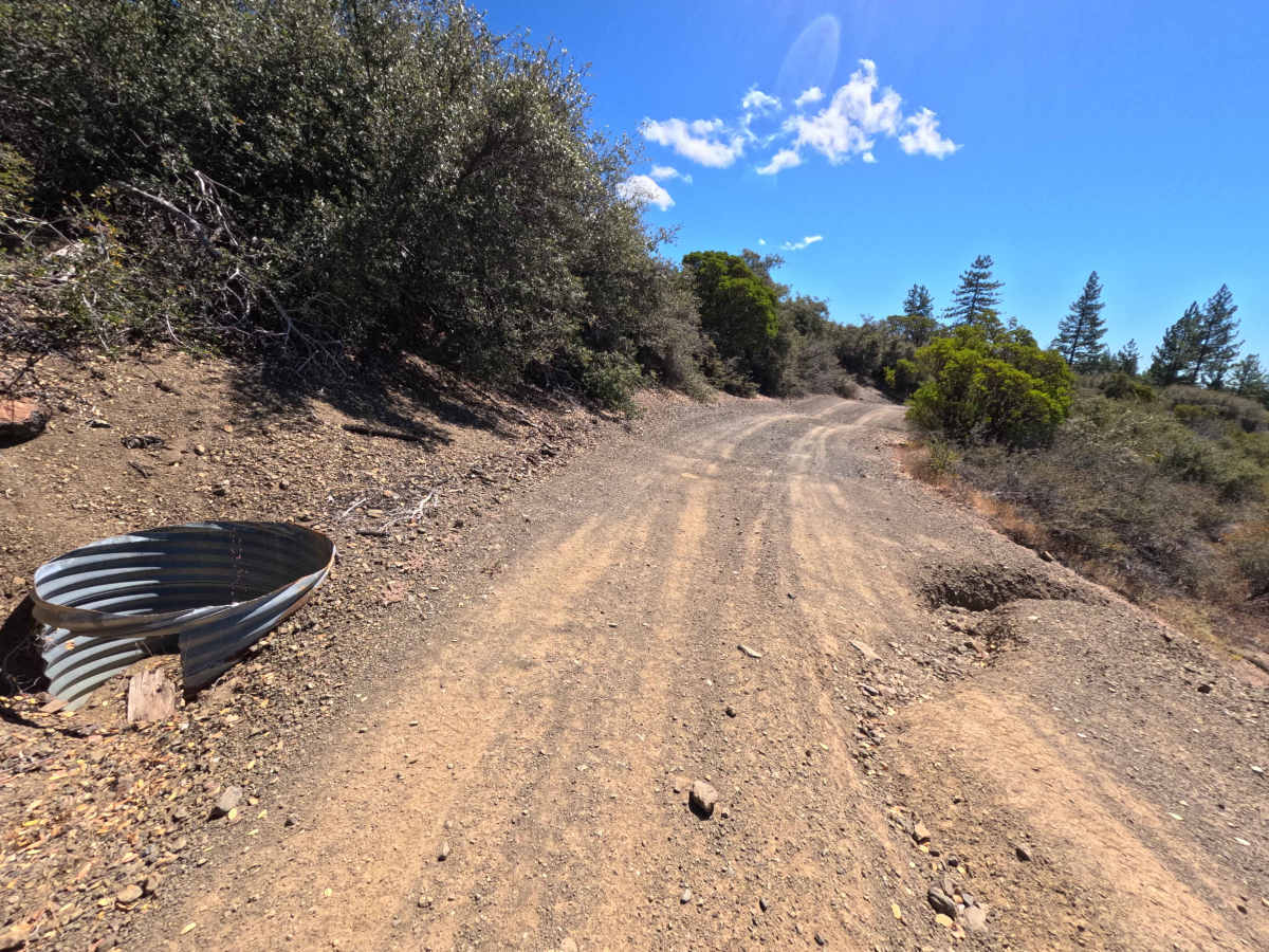
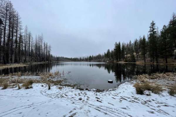
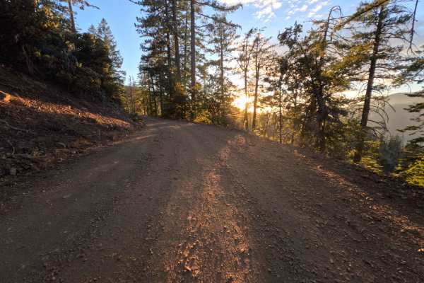
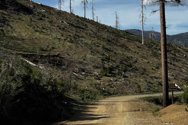
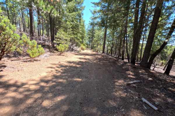
Set within a mixed pine, oak, and chaparral forest recovering from the 2018 Ranch Fire in the Mendocino National Forest, New Miner - FS 17N68 provides a scenic backcountry connection. Accessed directly off of Letts Lake Trail near the popular Letts Lake Recreation Area, this 2.0-mile single-lane dirt connector road winds along mountain contours to provide throughout deeper into interconnected OHV trail networks. Public land visitors primarily travel this route to secure quiet dispersed camping spots, stage off-road vehicles, or explore the surrounding mountain terrain. The driving surface consists of a narrow single-track dirt road peppered with light gravel, minor surface ruts, and localized washout channels. The trail climbs steadily past cleared fallen logs and roadside turnouts, encountering noticeable rutting and a washed-out bend near 0.5 miles. Wider vehicles should evaluate turning around at the 1.1-mile fork where the right-of-way narrows considerably. Around 1.9 miles, a spacious dispersed camping clearing offers a prime turnaround or staging spot just before the road terminates at various OHV trailheads at 2.0 miles.
Difficulty
This single-track dirt road presents localized ground clearance and width challenges. Primary obstacles include a washed-out earthen drainage channel along a curved bend at 0.5 miles, an exposed culvert end, shallow longitudinal ruts, and tight squeezes around cut fallen trees and brush. Drivers should maintain a slow, attentive speed, carefully steer around edge washouts, straddle central ruts, and verify vehicle width clearance before proceeding past the 1.1-mile fork.

 Offroad