Trail Overview
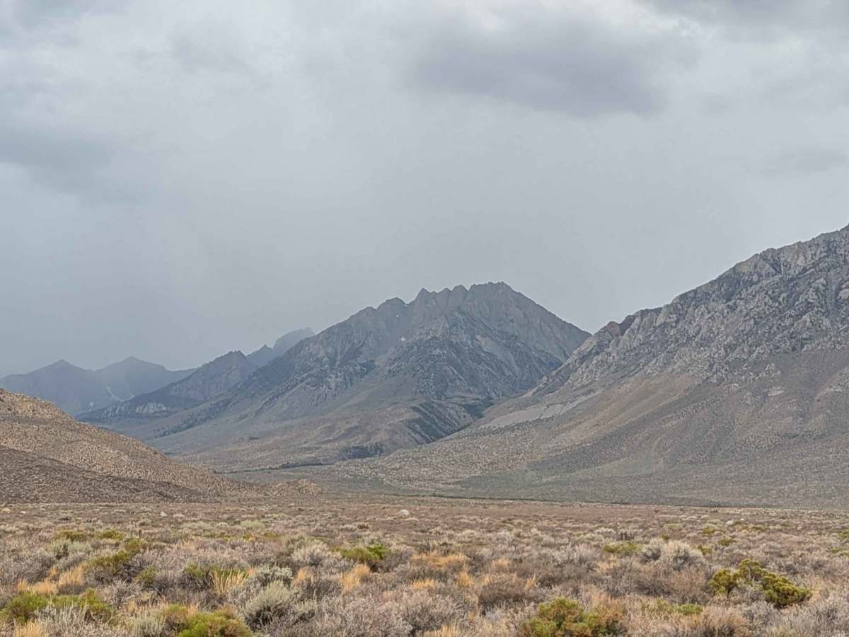
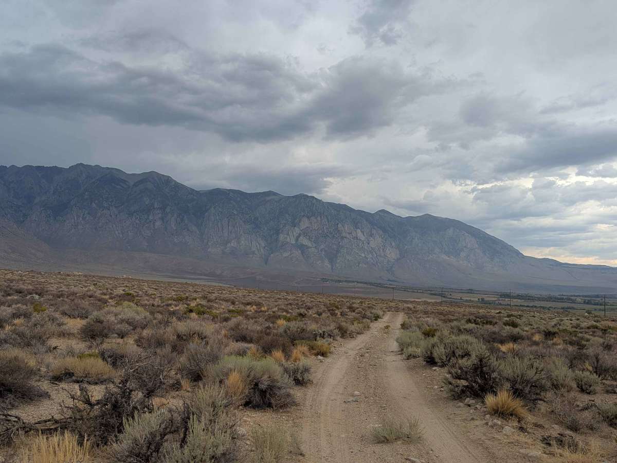
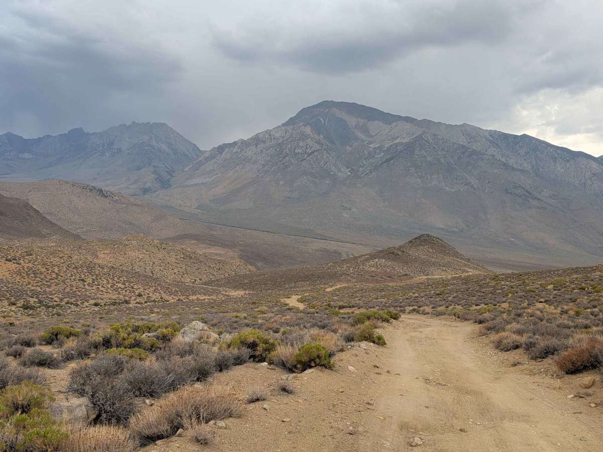
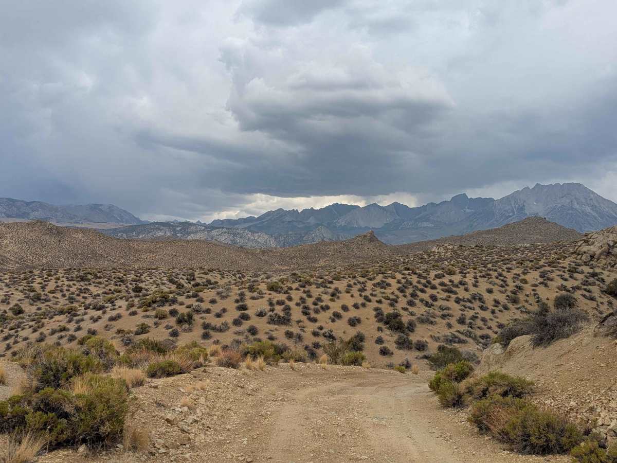
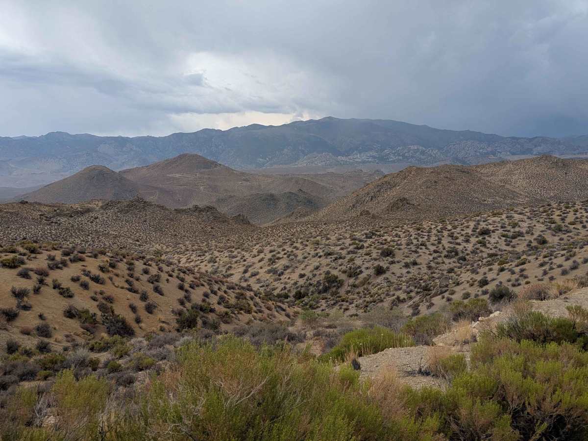
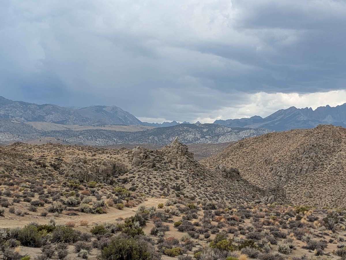
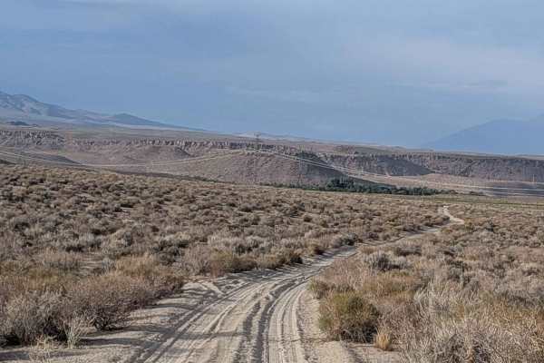
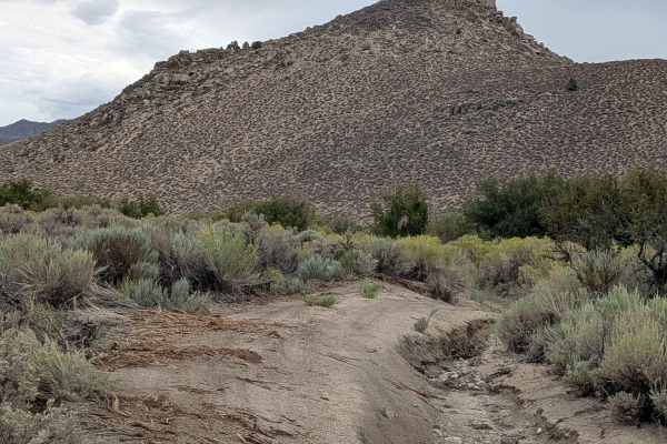
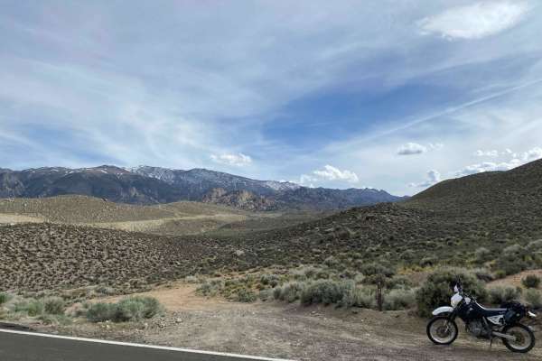
This very dusty route features sand with various-sized embedded rocks and is part of the larger R1 system. The trail is 1 1/2 vehicles wide with various shelf road sections along the creek, requiring extra caution. After a mile, you're rewarded with 180-degree views of the Eastern Sierra mountains as well as the White Mountains. The north side features steep switchbacks as you navigate the terrain, and there are some large boulders in this area.
Difficulty
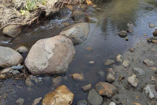
This trail earns a moderate-easy difficulty rating with several challenging features. The south side starts right at a wash, which can become a water crossing during heavy rains or springtime, with another creek crossing at the 1/2 mile and 3/4 mile in. The route includes many off-camber and rutted sections along with a few steep sections. Four-wheel drive is highly recommended, a high clearance vehicle is important, and good all-terrain tires are the minimum requirement for safe navigation.
History
The Tungsten Hills near Bishop, California, gained prominence during World War I and II for its rich tungsten deposits, which were crucial for steel production and military applications. The discovery of these resources, particularly in the Pine Creek area, spurred a boom, leading to the construction of Tungsten City and a major processing mill. The main tungsten mining operations ceased by the late 1940s.