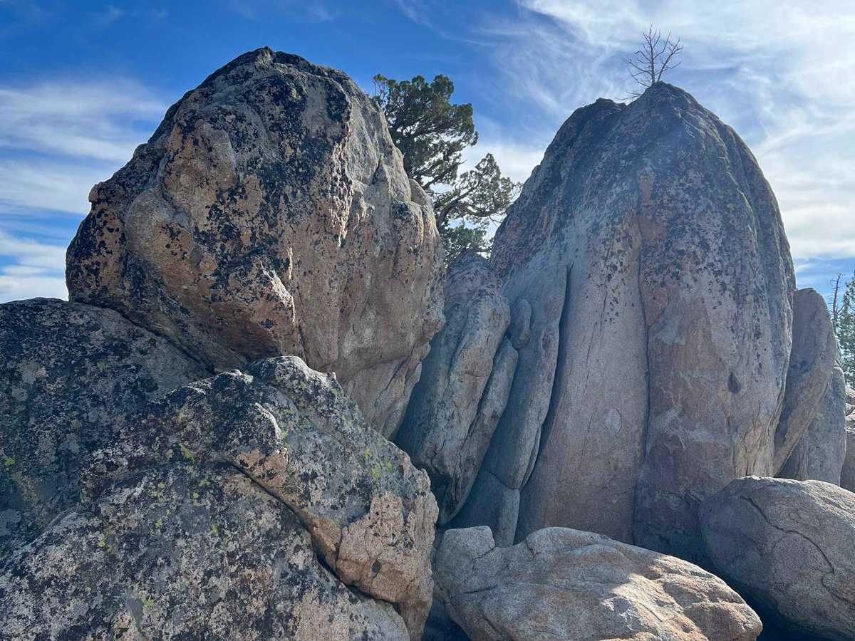
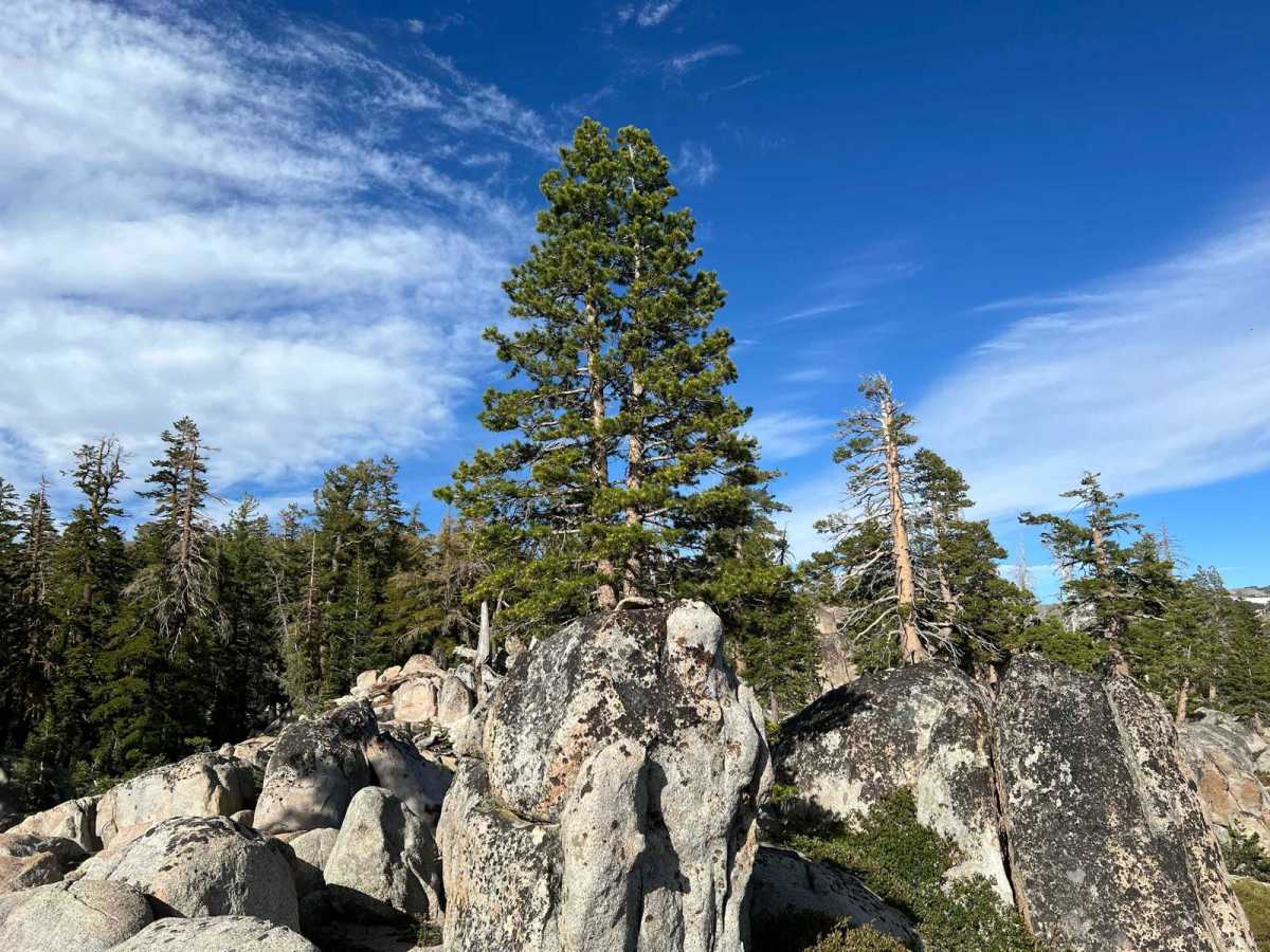
Strawberry Pass

Total Miles 9.1
Technical Rating
5 Moderate
Best Time Summer
Trail Type Full-Width Road
Accessible By
Open Trail Map

Trail Overview

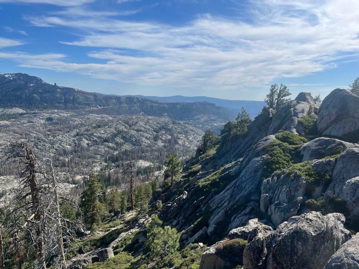
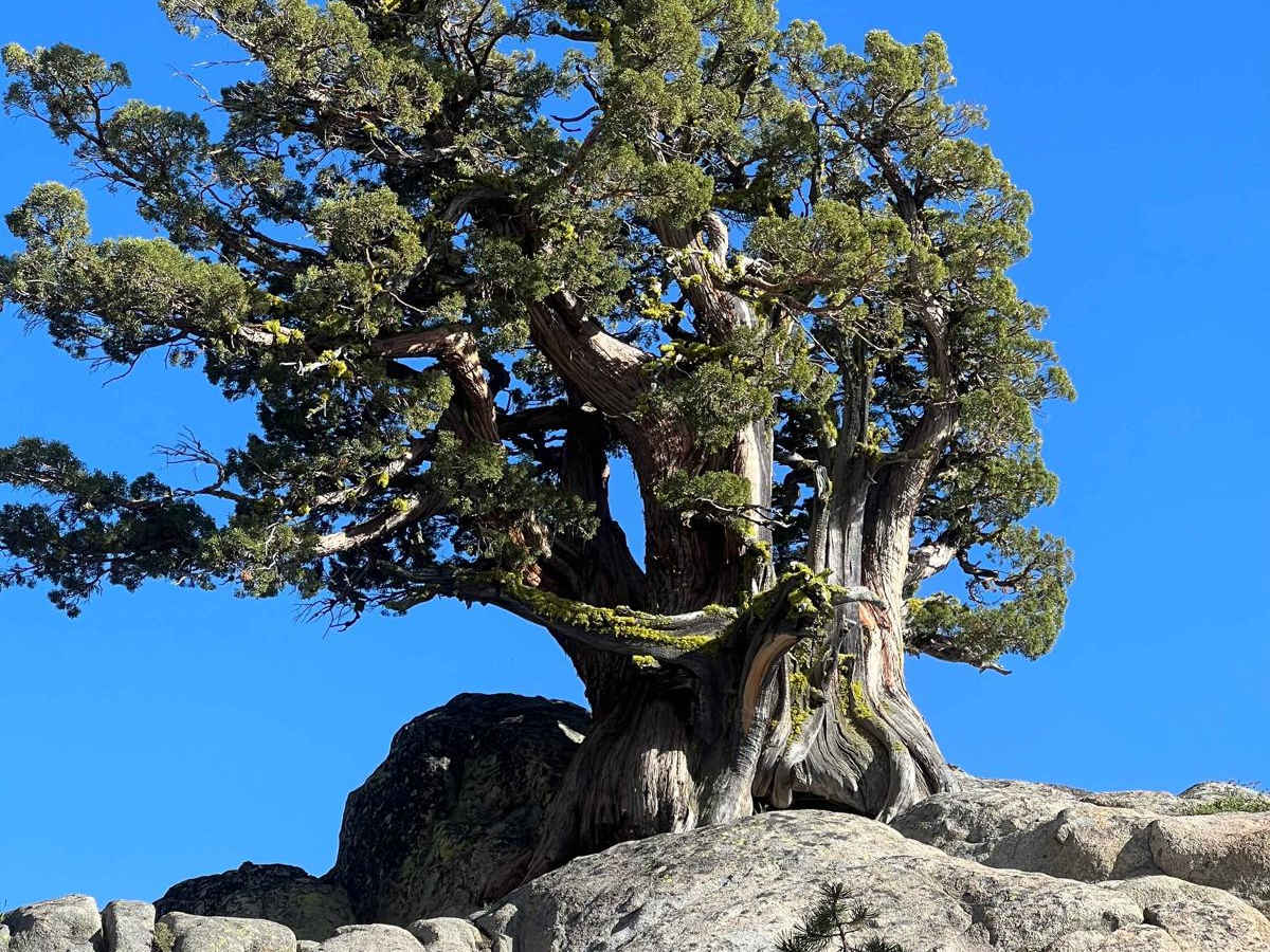
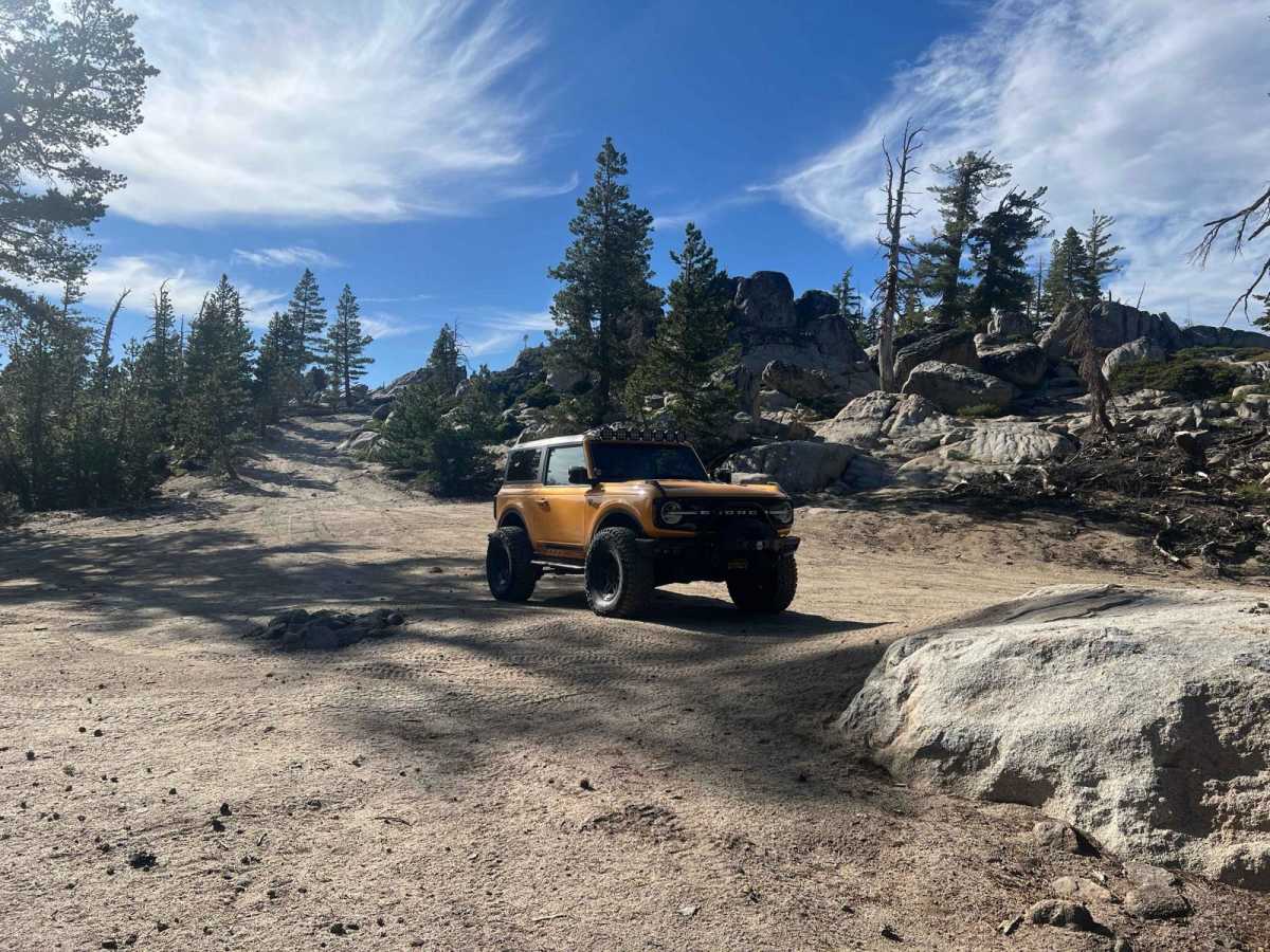
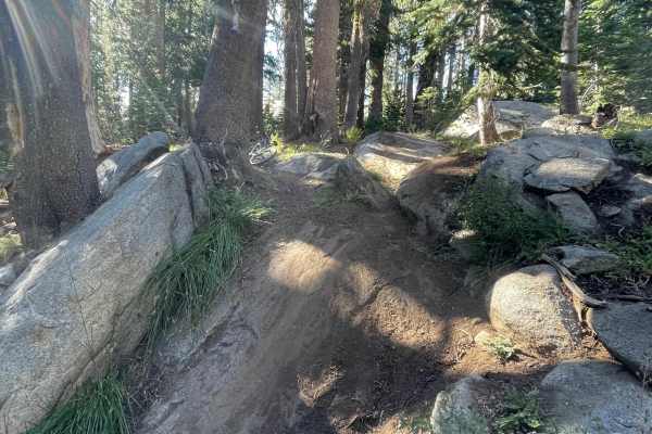
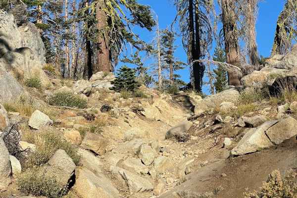
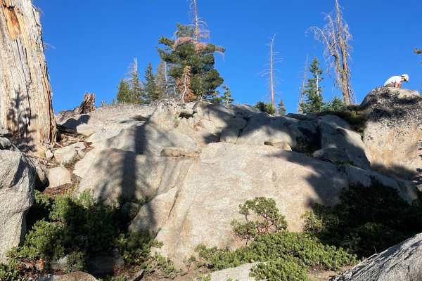
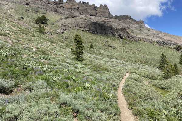
Strawberry Pass is a classic northern California 4WD trail that traverses between highways 50 and 88. This trail can be combined with other local Sierra trails to provide multi-day backcountry wheeling/camping options. Other local trails include Deer Valley, Hungalelti, Long Canyon, and Barrett Lake. The summit of the trail provides spectacular views of Caples Lake and Kirkwood ski area, with the Mokelumne Wilderness as a backdrop. The scenery at the top is breathtaking. Historically, this trail has waffled between easy and moderate. After the Caldor fire of 2021, the trail was graded and became simple to drive. Since then, 3 heavy winters have changed the trail back to moderate. There are a large number of washouts, and during spring runoff, portions of the trail are an active stream. Approximately halfway up the trail, there is a long washout section that is challenging to navigate and can cause a rollover if the wrong line is taken. There is an illegal bypass that has been built around this section, but where's the fun in that? The overall trail rating is based upon this section. New four-wheel drivers or those with less built rigs and ground clearance will find this and a couple of other sections of this trail difficult. At least 33-inch tires and moderate ground clearance, with ideally a rear locker, will be helpful to tackle this trail. In general, full-sized rigs will do fine on this trail, but towing a trailer carries inherent risk due to the numerous washouts. A fair portion of this trail was affected by the Caldor fire, so there are numerous burned trees and deadfall, and this area should be avoided during high wind events. Carrying a chainsaw is also recommended.

Photos of Strawberry Pass

Difficulty

Numerous washouts, some steep sections, small to moderate boulders to climb, and many downed trees to deal with. A chainsaw and winch can come in very handy. This trail is more difficult than in the past, so care is warranted.

Technical Rating

5

Status Reports

Add Status Report
Victor Escalante
Dec 15, 2025
Open
The trail is open with a bit of snow and some fallen trees along the way. I recommend bringing a saw to clear the path if needed. Icy roads, but nothing out of the ordinary.
Mike M
Dec 06, 2025
Open
Great day on the trail. I went from north to south (hwy 50 to hwy 88). Some snowy spots but the traction was there. The major obstacle was dry and easily passable in the bronco with lockers on. There were quite a few downed trees but I was able to get through in the wide bronco. I totally recommend this trail ride before the major snow storms.
Steve- O
Nov 29, 2025
Open
Went up today to check out the trail. Drove from North (hwy50 to 88) South. There were some down trees. Forgot my chainsaw. We were in a couple Tacomas and had a few inches to spare on the sides. On the downhill after the look out there was a large down tree blocking the trail but looks like people cut a bypass in. I was able to make it around ok. The North end had no snow until the switch back climb just before the waterfall feature. After that the snow got to about a foot deep + to the top. Traction was good. On the way down the snow turned to mud as it was melting. I only saw one person camping, and another turned around as they were solo and didn’t have a winch.
Colin Lancaster
Nov 28, 2025
Open
Lots of dead wood pushed along the sides of the trail. Bring a chainsaw just incase more falls. About 25% up the actual trailhead (marked with a sign) you will encounter a tree running vertically with the trail. In my full sized SUV I had to drive up it with my passenger side because I feared damaged to my door if not. After that there will be decently sized ruts from water eroding the trail, after the ruts there will be a couple decent sized boulders that I didn’t feel comfortable going over (wife was scared) and my 35s were eating my fenders up on 3inch lifted sequoia. Will definitely come back with my trail rig before more snow hits the trail!
Marny
Nov 16, 2025
Open
More snow than expected, so some areas required the lead jeep in our group to push through. There is a very large downed tree halfway through the trail which required a go around. One section of large boulders was challenging, but I made it through on 33s without a lift. Others made it through without lockers, but I don't recommend that. It was absolutely beautiful in the snow.
Jim McG
Oct 23, 2025
Open
We just tackled Strawberry Pass trail that had a couple of very washed-out sections. The On X message about the rollover risk was spot-on; it was an intense situation that definitely scared both me and my wife. Despite the scary moments, it was absolutely worth it. It's always great to push your limits and grow your skills, and the incredible views at the top were the perfect reward.
Steve- O
Sep 14, 2025
Open
First time on this trail. Tacoma 3” lift on 33”. No problem. Pick your line and you’ll be fine. There were just two spots we used spotters. Trail was very dusty. We went North to South. I think that was a lot funnier than the other way around. Look out at the top was killer.
Brian R
Aug 08, 2025
Open
Easy trail with only a couple areas that may challenge a few. Definitely more erosion than last year. Even found some exotic white flowers left behind at lookout area at top. lol
Kyle Abelardo
Jul 26, 2025
Open
Light shower the before kept the dust down. The trail was rougher than the last time I ran it. The hardest part is on the north side coming from 50. If you have a high clearance vehicle with >33” tires you’ll be fine. View from the top is amazing!
Jake Tkach
Jul 19, 2025
Open
Was coming down it. Definitely rougher and more deteriorated than I remember it being but most of the trail is 95 percent fire road and has some rough spots where you would def want some clearance. 33s and rear locker recommended for sure if you’re coming up the trail from 50 side.
mark brooks
Jul 05, 2025
Open

Strawberry Pass Trail can be accessed by the following ride types:

  • Single Track
  • 50 Inch
  • 60 Inch
  • High Clearance
  • Full Width

Strawberry Pass Map

The onX Offroad Difference

onX Offroad combines trail photos, descriptions, difficulty ratings, width restrictions, seasonality, and more in a user-friendly interface. Available on all devices, with offline access and full compatibility with CarPlay and Android Auto. Discover what you're missing today!

Open Trail Map