Trail Overview
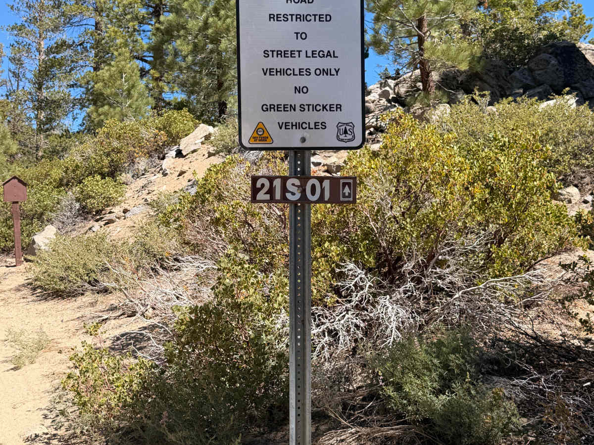
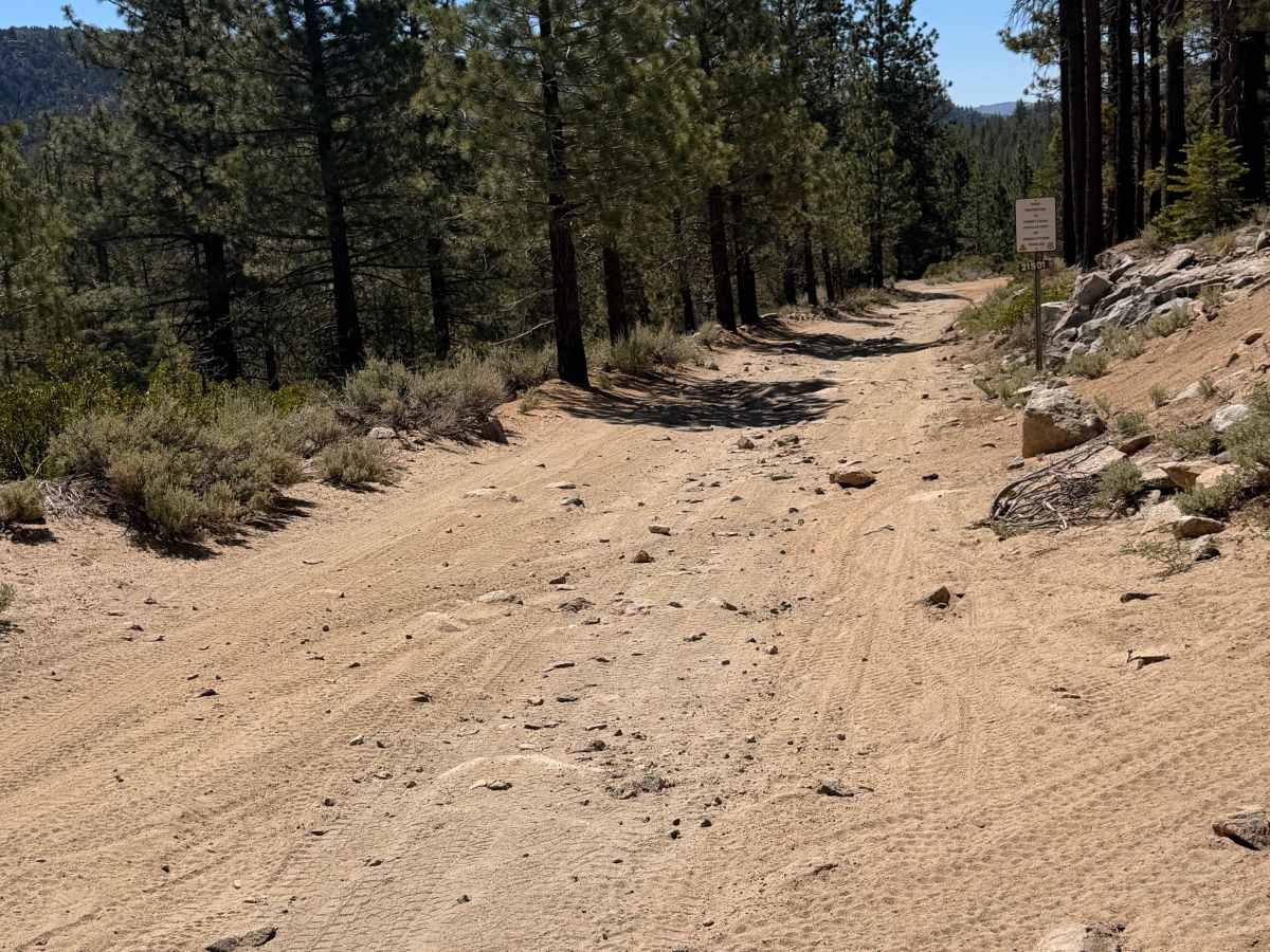
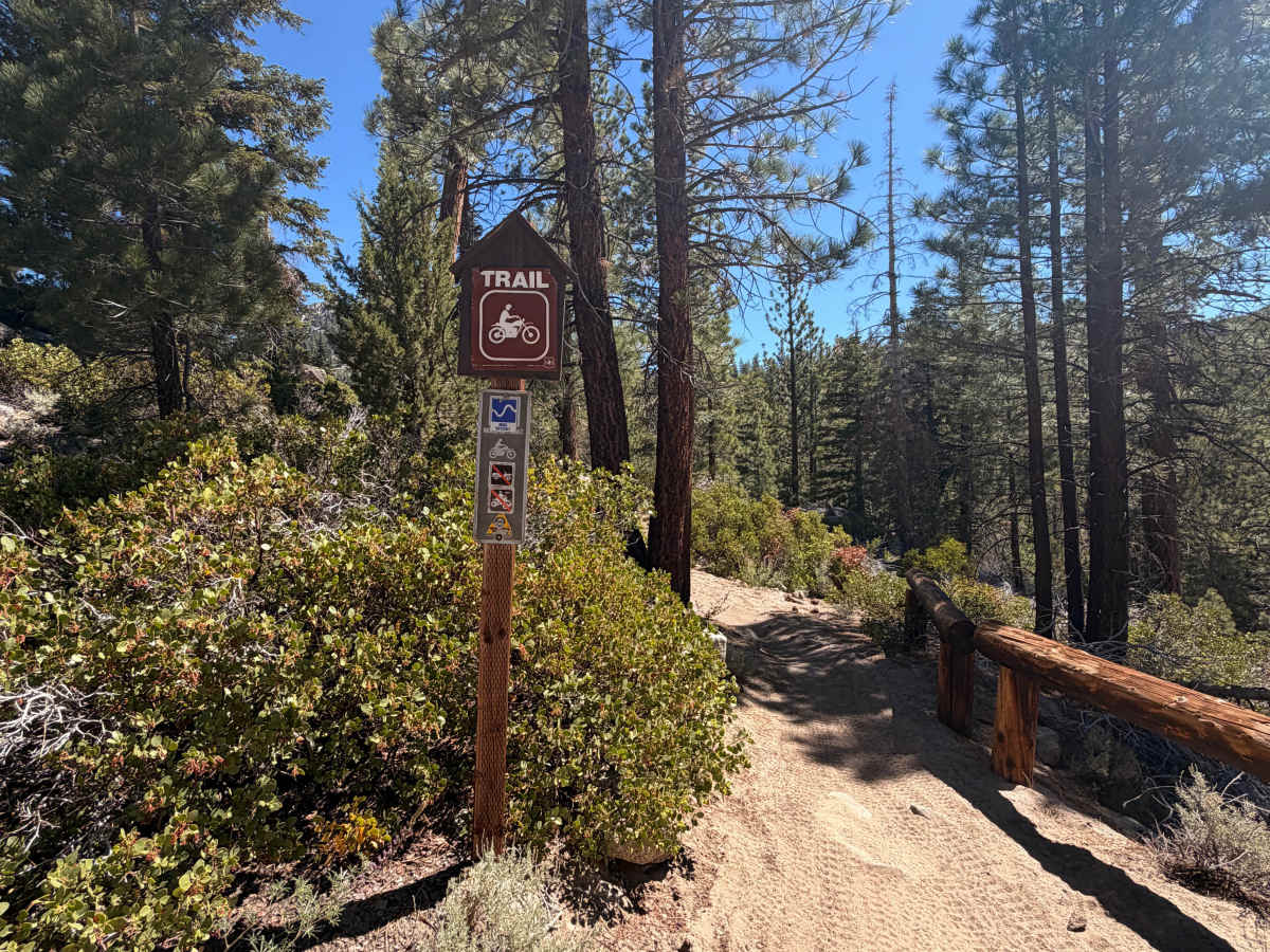
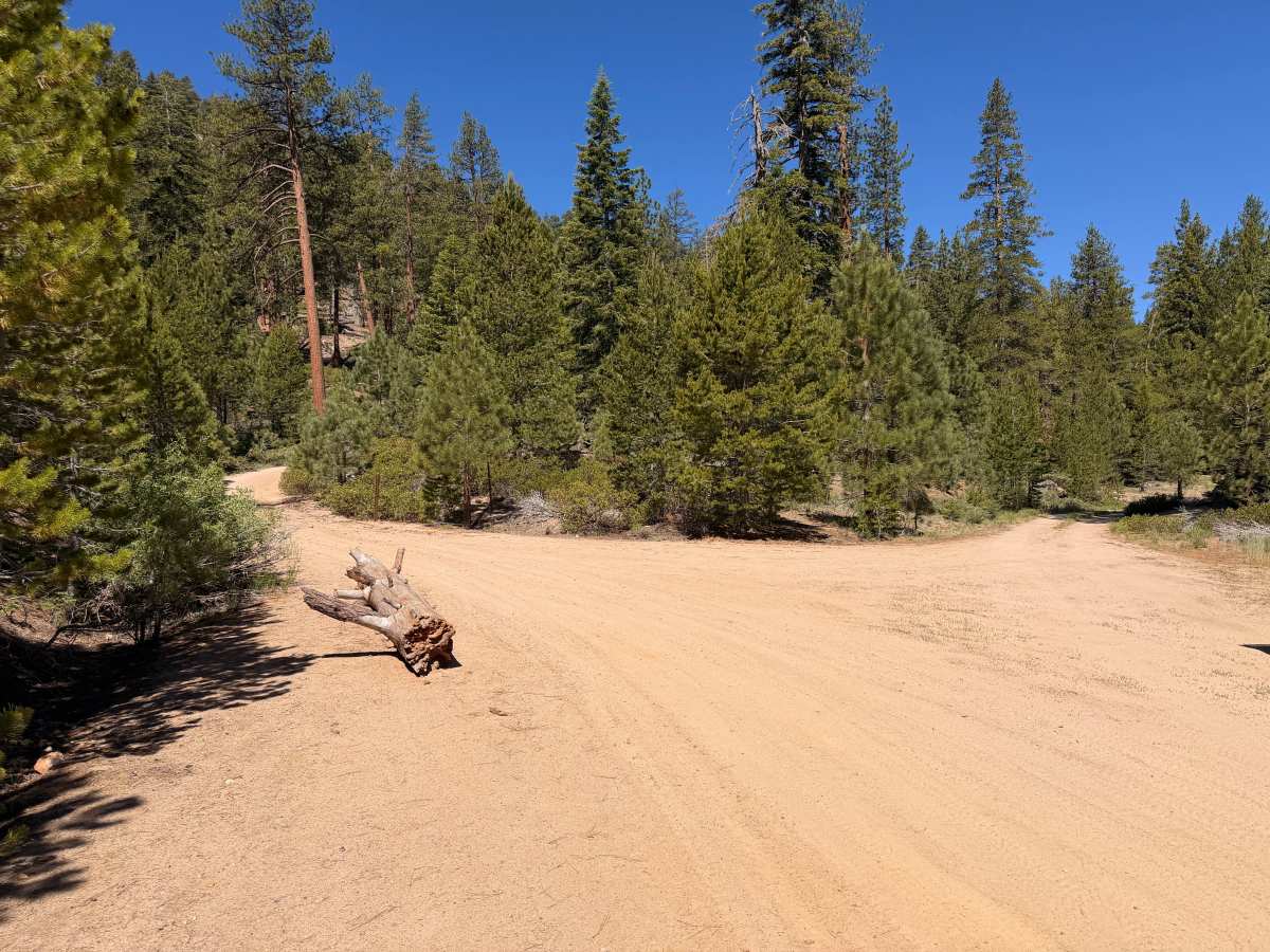
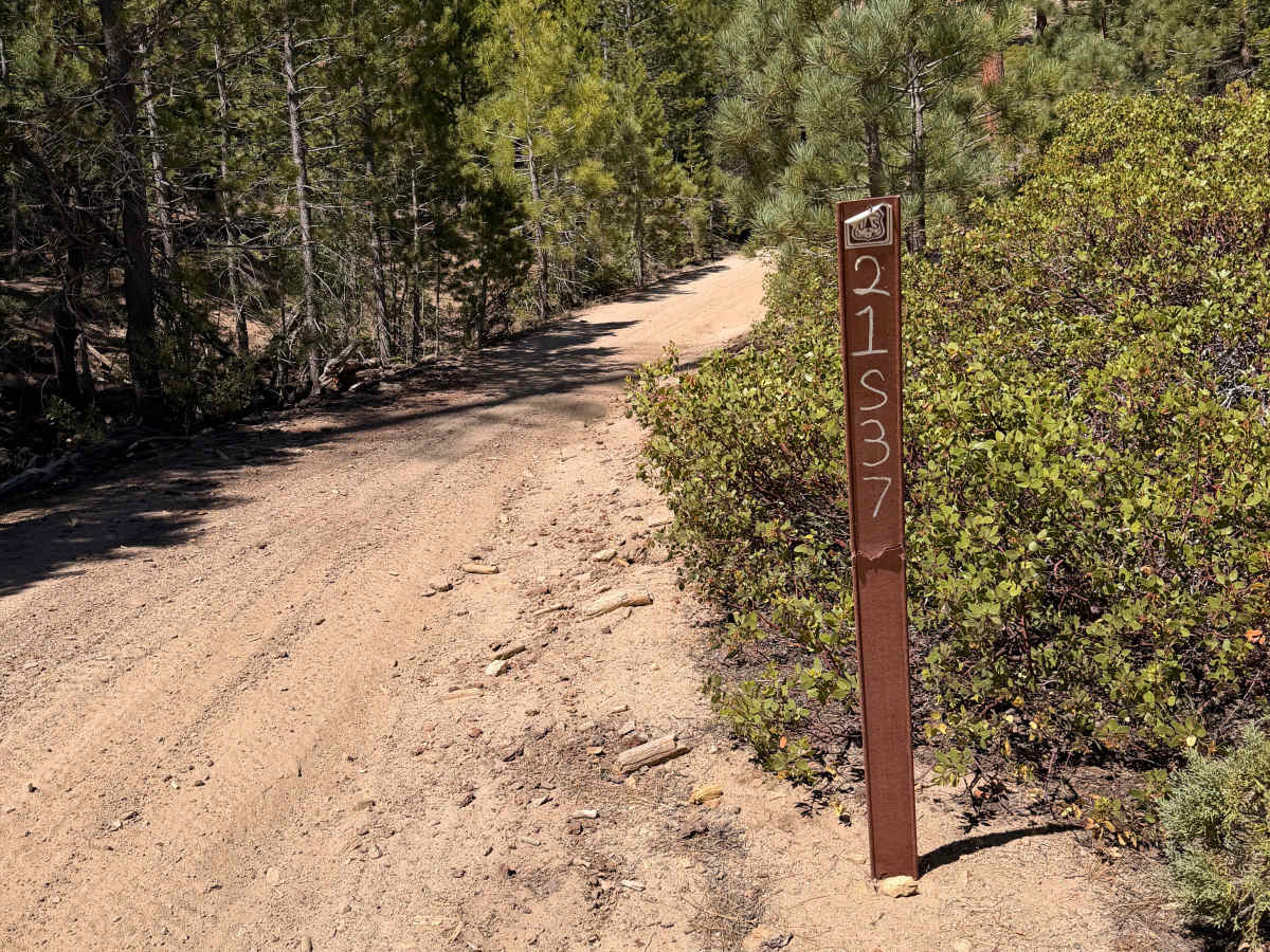
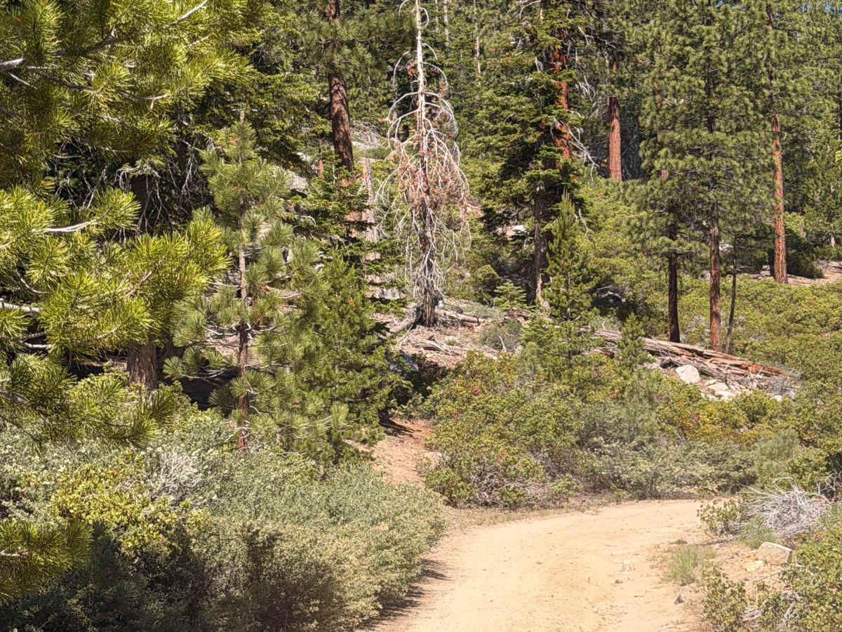
Smith Mountain Road (FS 21S37) is a scenic backcountry route that branches off Sherman Pass Road in the Sequoia National Forest. Due to its length, steep grades, and rugged terrain, the route is straightforward for experienced high-clearance 4WD drivers in dry conditions. Expect a combination of rocky sections, loose dirt, and dust as the road climbs through beautiful pine forests toward higher elevations with sweeping views across the Kern Plateau and Southern Sierra. The trail dead ends at a clearing suitable for dispersed camping. It connects to through trails which make for a great offroad experience. The road is shared with hikers, mountain bikers, equestrians, and other OHV users, so drive cautiously, especially around blind corners. Several overlooks provide excellent opportunities to stop for photos, and the changing scenery makes this one of the more rewarding drives in the area. During winter and spring, snow, storms, or Forest Service maintenance can result in temporary closures, so always verify conditions before setting out. This moderate route has a challenging final mile with steep, loose, and rocky terrain. It offers scenic mountain views and is shared with hikers, cyclists, horseback riders, and off-highway vehicle users.
Difficulty
This trail warrants a 3 because, when driven in its entirety, the final mile becomes narrow and steep, with a tight switchback.

 Offroad