Trail Overview
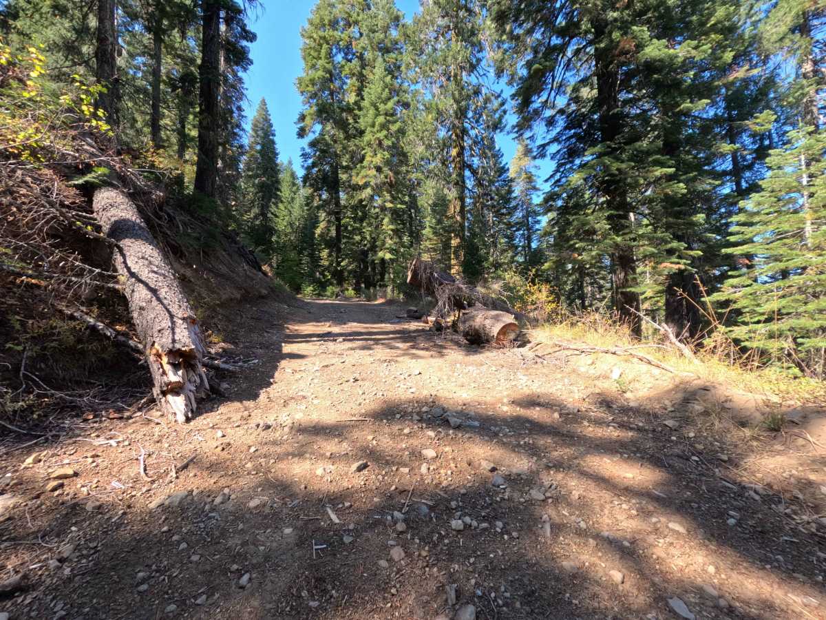
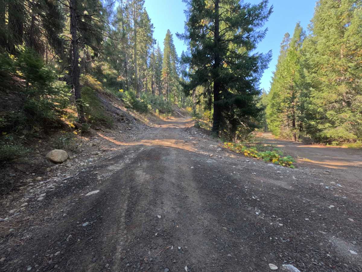
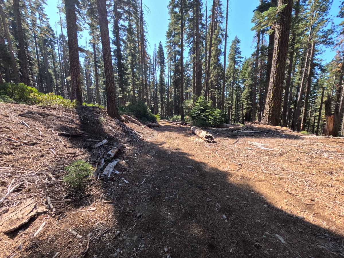
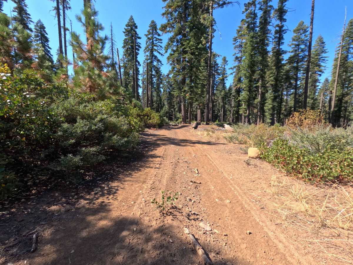
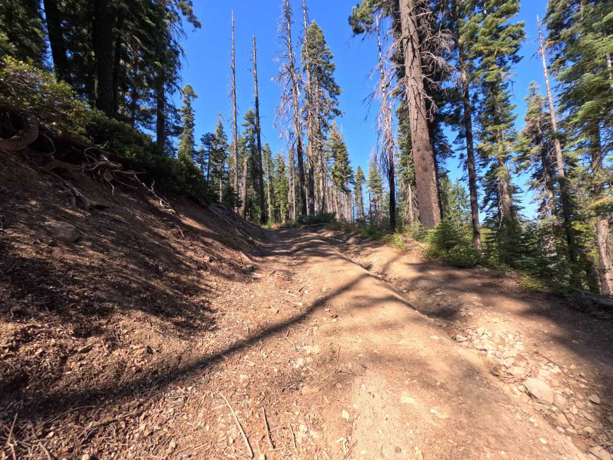
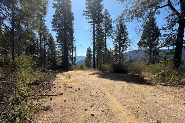
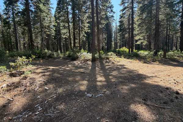
Branching directly off the main thoroughfare of Slate Creek Road, Slate Creek Spur D (FS 24N28D) is a scenic, uphill out-and-back route that gently winds around the heavily wooded mountainside just above Fourth Water Creek. Situated within the boundaries of the Plumas National Forest, the surrounding environment features a densely packed canopy of mature coniferous trees shading a forest floor thickly blanketed in dry pine needles and downed timber. Outdoor enthusiasts typically utilize this brief offshoot for secluded woodland exploration, wildlife viewing, or to reach quiet, unmarked areas deep in the hills. While there are no officially established hiking trailheads directly stationed along this specific dead-end path, drivers should always remain watchful for pedestrians, dispersed campers, or backcountry hikers exploring the rugged terrain on foot. The trail offers a tranquil escape, but it abruptly forces a turnaround for standard passenger vehicles shortly after it begins, preserving the deeper woods for smaller off-road machines or hikers.
Difficulty
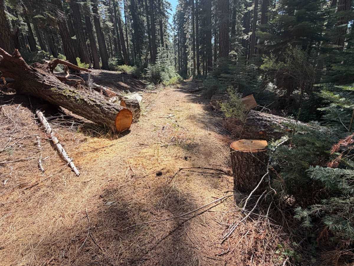
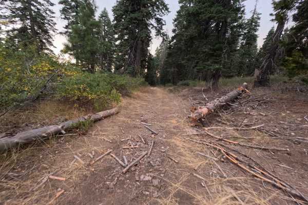
This short spur earns a moderate difficulty rating of 2, primarily serving as a tight, lightly used dirt out-and-back trail. The travel surface is composed of packed dirt mixed with scattered loose rocks and a slippery layer of seasonal pine needles. The most significant feature is an impassable pinch point located at the half-mile mark, where a recently sawed fallen log leaves a gap far too narrow for standard vehicles to squeeze through. While quads and motorbikes can easily proceed, this cut log effectively acts as a forced turnaround for everyone else.