Trail Overview
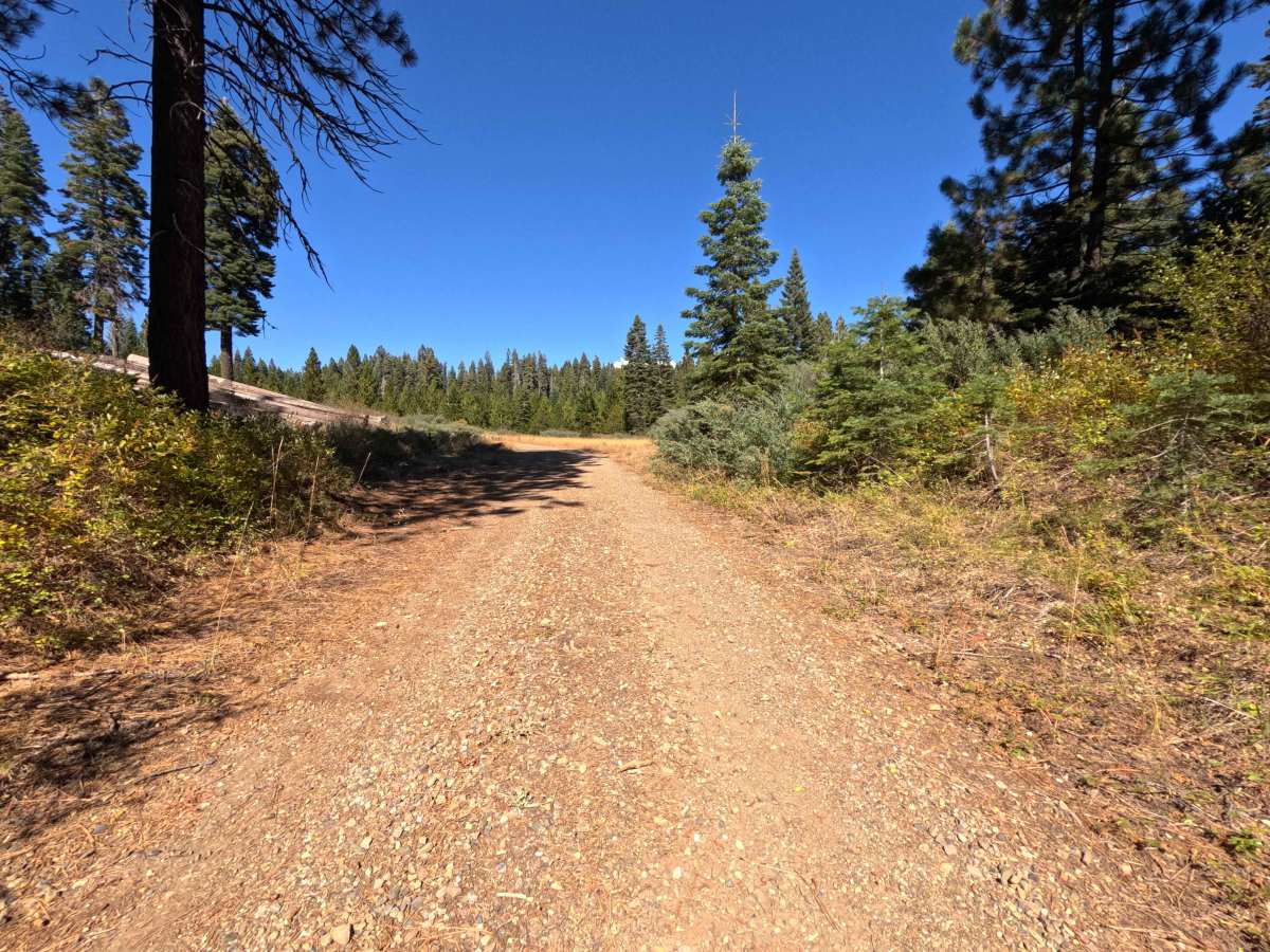
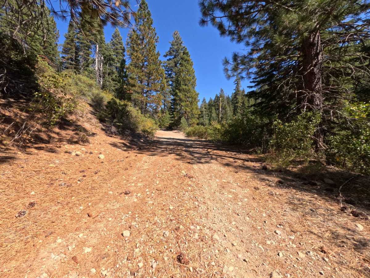
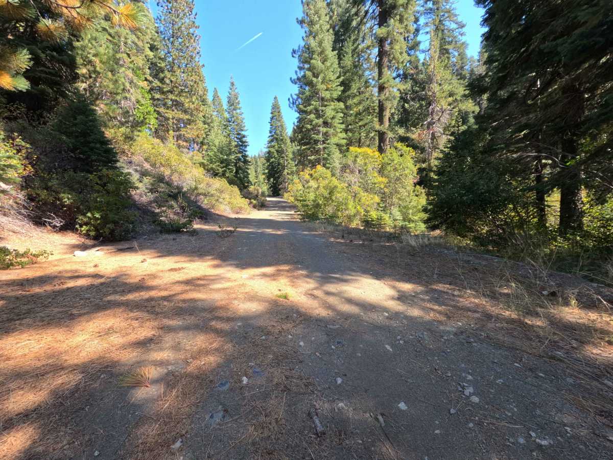
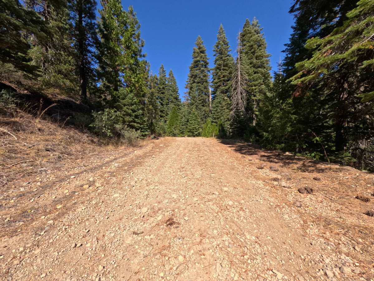
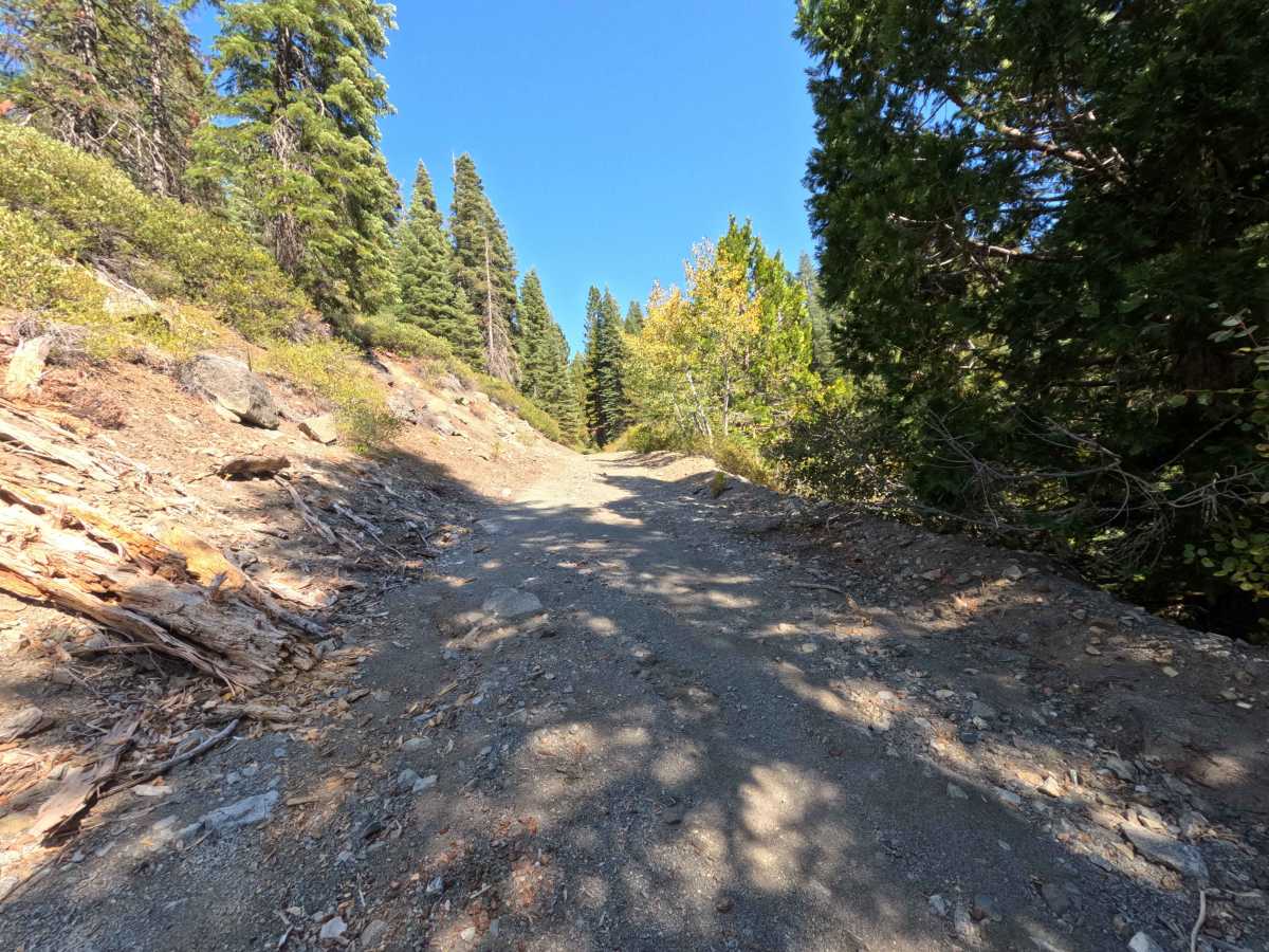
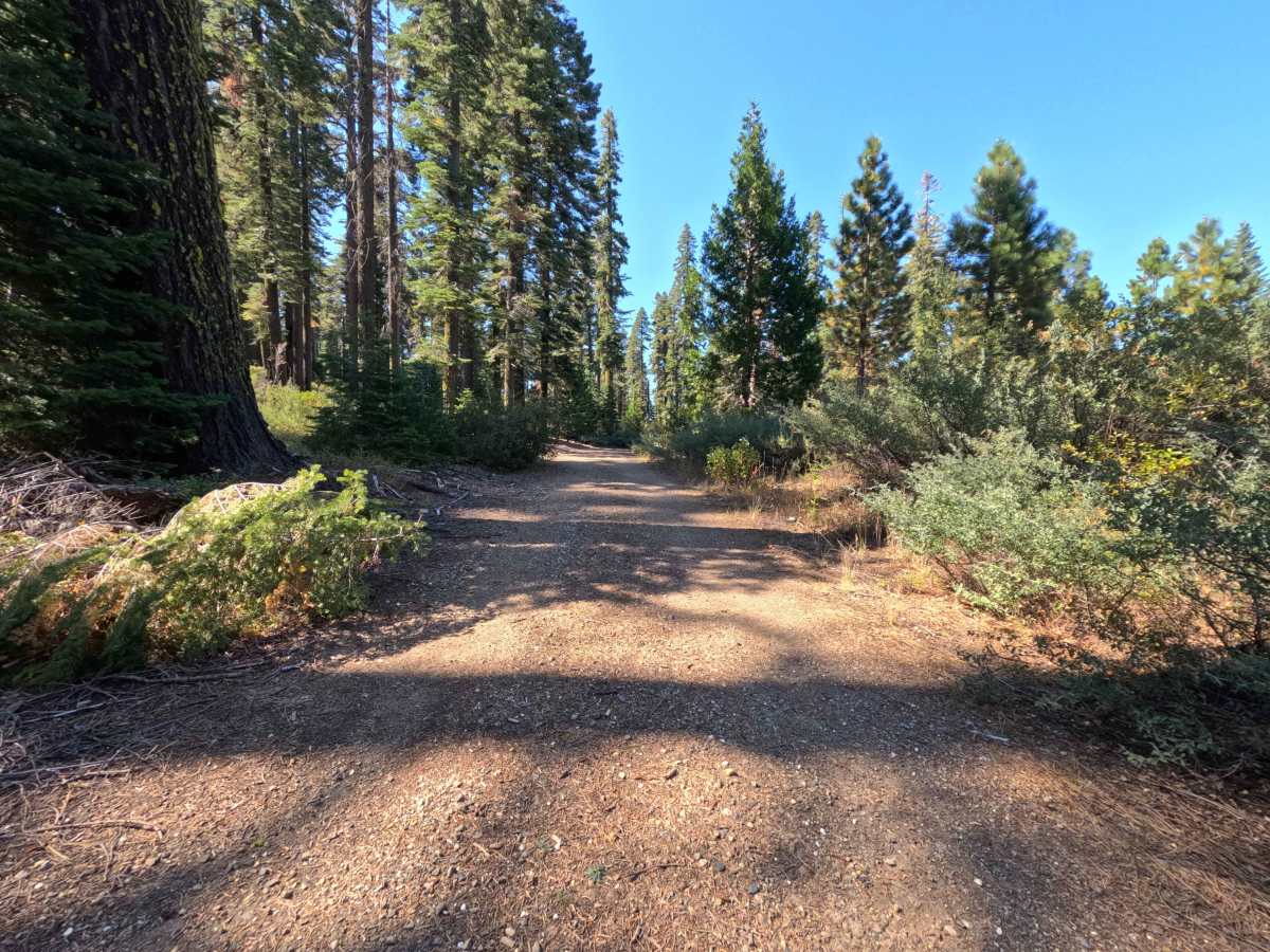
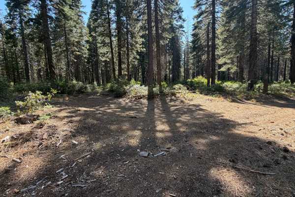
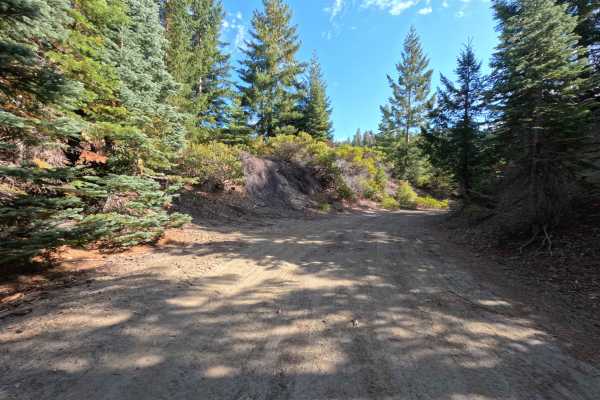
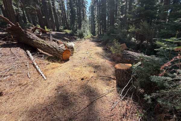
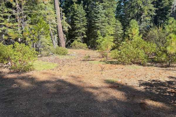
Serving as a highly scenic throughput within the broader trail network, Miller Fork Tie (FS 23N47) is a convenient connector route that links explorers to a junction of several other backwoods spurs. Winding through the verdant, mature coniferous woodlands of the Plumas National Forest, the pathway is beautifully shaded by towering pines and bordered by vibrant patches of low-lying brush. Outdoor enthusiasts primarily utilize this tranquil stretch of dirt to access a pair of fantastic, secluded dispersed campsites located just off the margins of the track. These clearings offer a solitary, quiet retreat for setting up an overnight basecamp before the road merges at the upcoming intersection. Because of these appealing camping opportunities, drivers must remain constantly vigilant for pedestrians, pets, and dispersed campers who might be enjoying the serene forest environment on foot.
Difficulty
This peaceful woodland tie earns a mild difficulty rating of 2, providing a straightforward but somewhat bumpy drive. The travel surface consists mainly of a narrow, single-track dirt path interspersed with loose gravel and scattered rocky sections. While the terrain lacks severe washouts or deep ruts, the mildly rocky conditions demand a mindful pace to maintain traction and passenger comfort.