Trail Overview
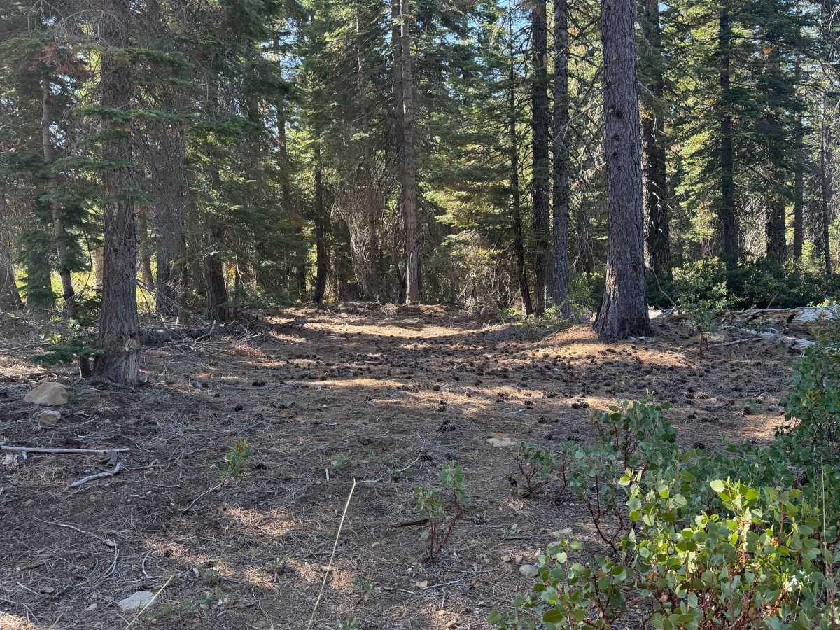
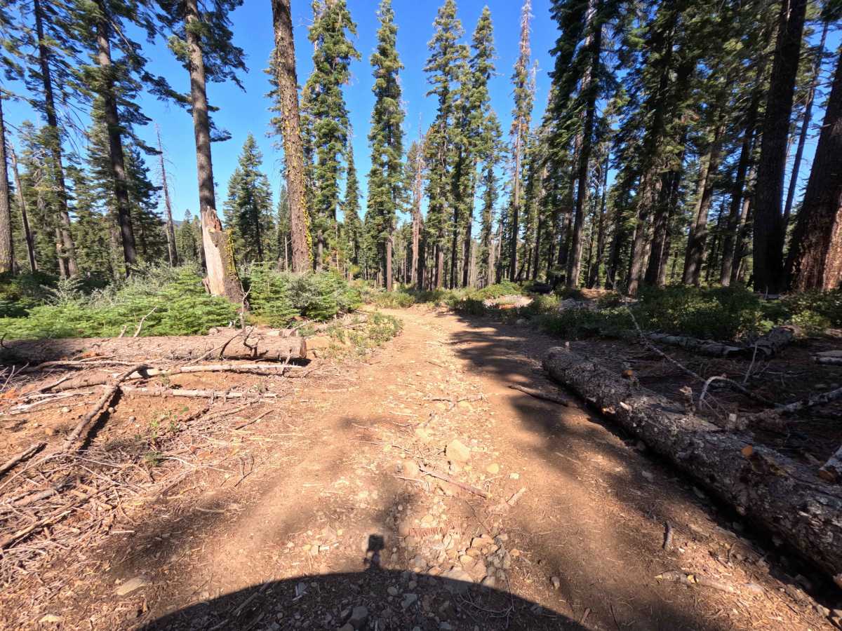
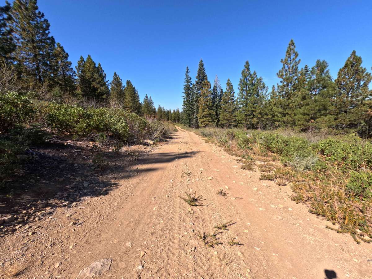
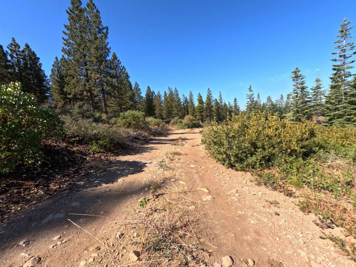
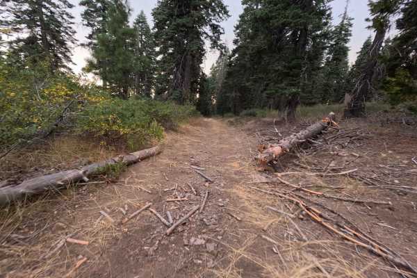
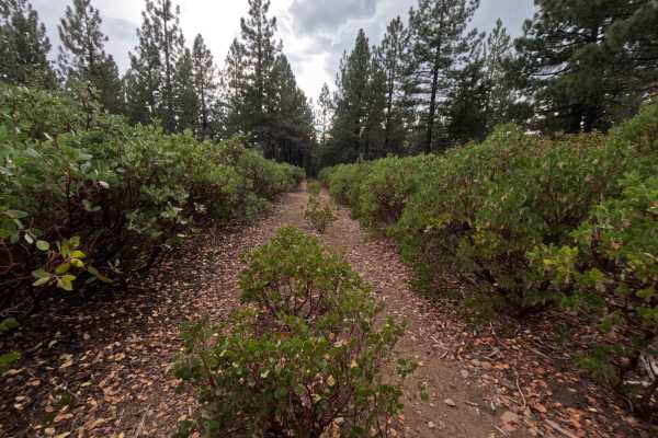
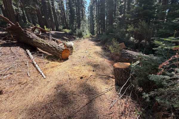
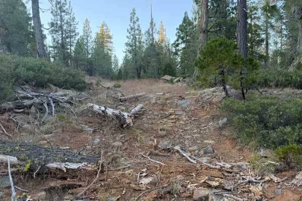
Branching off from the prominent ridgeline of Slate Creek Road, Slate Creek Spur (FS 24N28C) operates as a convenient and highly scenic connector route through the Plumas National Forest. Rather than a simple dead-end, this pathway traverses across the elevated ridge, ultimately linking travelers to another branching forest road deeper in the woods. The surrounding environment consists of a beautifully dense, towering coniferous pine forest featuring a dry, brushy understory and scattered fallen timber. Nature enthusiasts and off-roaders primarily utilize this tranquil stretch to access secluded overnight spots. Located conveniently along the relatively flat traverse, drivers will discover a fantastic, shaded dispersed campsite nestled amongst the trees that provides just enough room for a single vehicle to comfortably set up camp. While there are no major established hiking trailheads directly stationed on this specific road, the presence of the campsite means drivers should always remain observant for pedestrians, pets, and campers exploring the serene woodland environment on foot
Difficulty
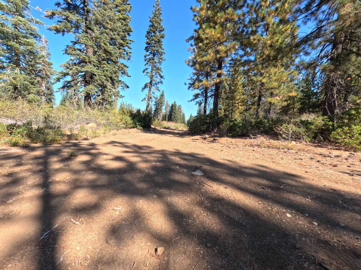
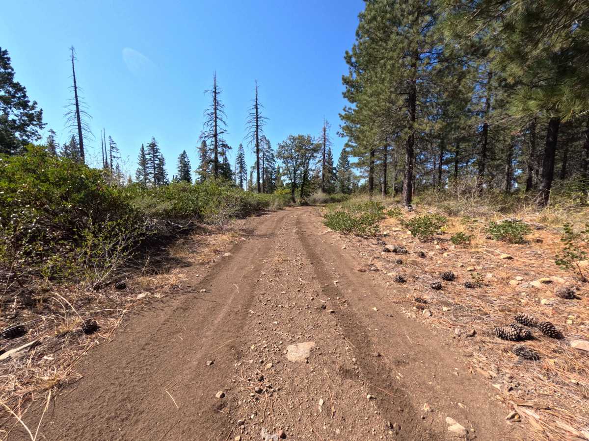
This relaxing ridge-line traverse earns an easy difficulty rating of 1, providing a thoroughly approachable and mellow drive. The trail surface consists primarily of a smoothly graded, hard-packed dirt single-track that is occasionally mixed with small, loose rocks and a seasonal blanket of fallen pine needles. Free from deep washouts, massive boulders, or steep off-camber sections, the road maintains generally flat conditions from start to finish.

 Offroad