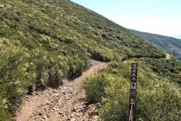
Trail Overview
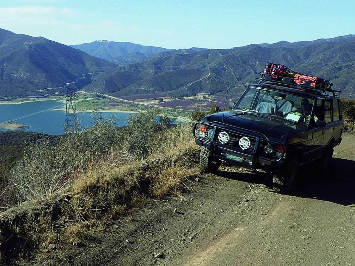
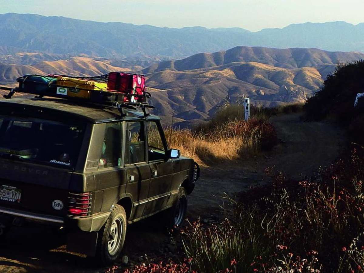
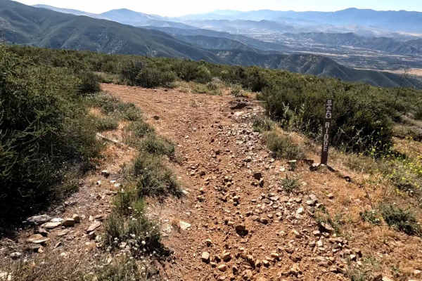
Sierra Pelona Ridge/Rowher OHV is a prime destination for stock four-wheel-drive vehicles, high-clearance SUVs, and SxSs seeking a scenic ridgetop drive with panoramic mountain vistas. The route begins near the Rowher Flat OHV Area, climbing up a single-lane shelf road that is moderately steep in sections and features vertical drop-offs near the top. Navigating the dirt surface is generally straightforward, though skid plates are helpful for peace of mind over occasional minor obstacles. As the trail traverses the high ridge of the Sierra Pelona, drivers are treated to sweeping views of the surrounding Angeles National Forest before beginning the descent.
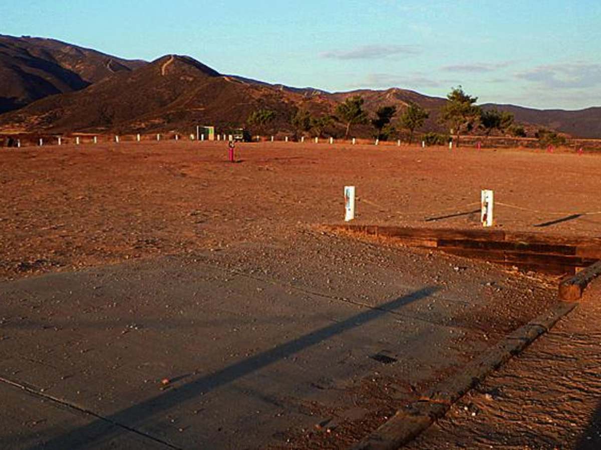
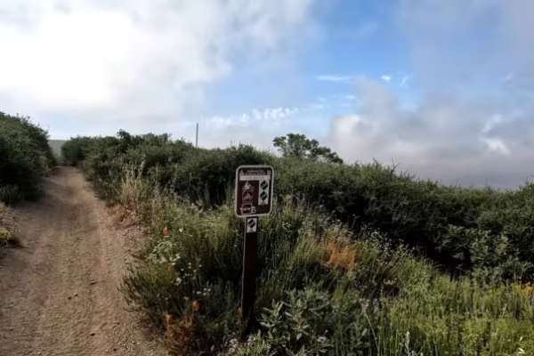
On the northern side of the mountain, the route turns into a series of switchbacks, offering outstanding overlooks of Bouquet Reservoir below. This portion of the trail crosses the more difficult Rowher Trail multiple times, providing options for those looking to test their driving skills on more challenging terrain. The area is open to green-sticker vehicles and is best enjoyed during the cooler months of fall, winter, and spring, as summer temperatures can become extremely high. Airing down tires at the staging area is highly recommended to improve traction and ride comfort on the washboard dirt roads.
Access Description
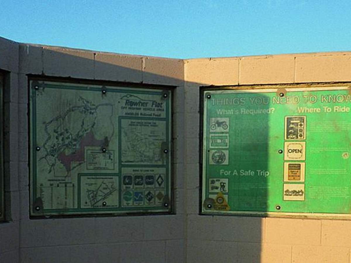
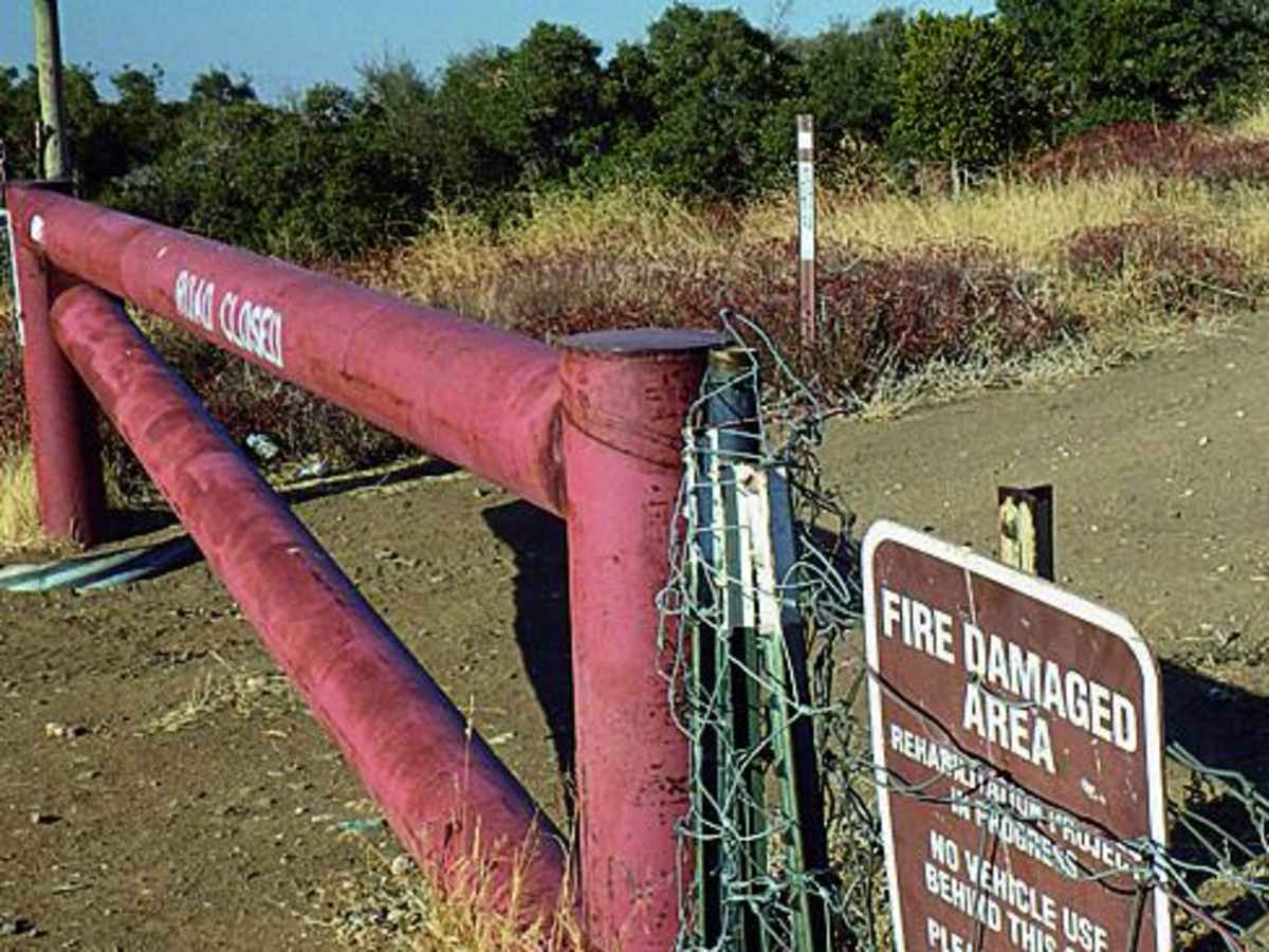
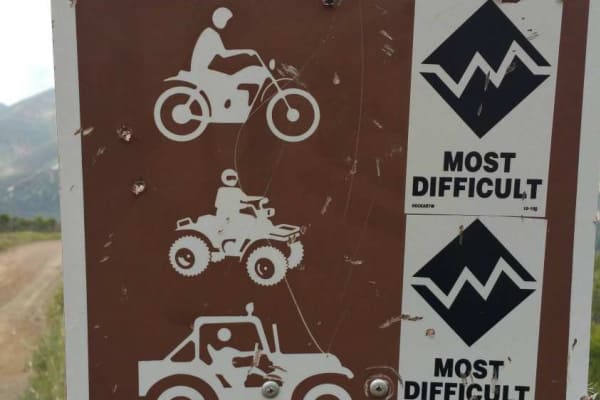
An Adventure Pass or America the Beautiful Interagency Pass is required for parking at the staging areas within the Angeles National Forest. Off-highway vehicles must display a current California green or red sticker, and spark arrestors are mandatory. The area may close temporarily during periods of extreme fire danger or severe weather.