Trail Overview
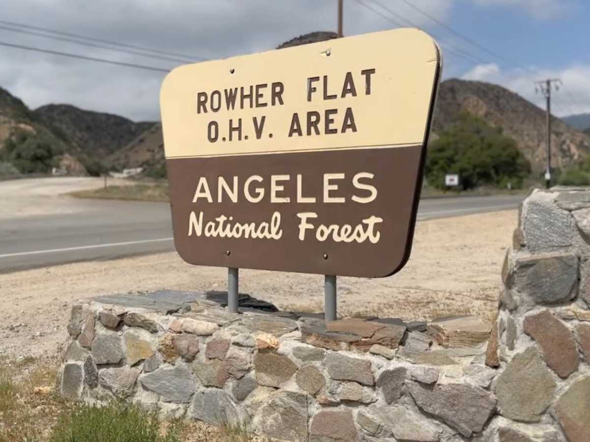
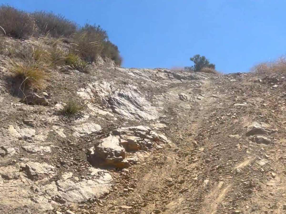
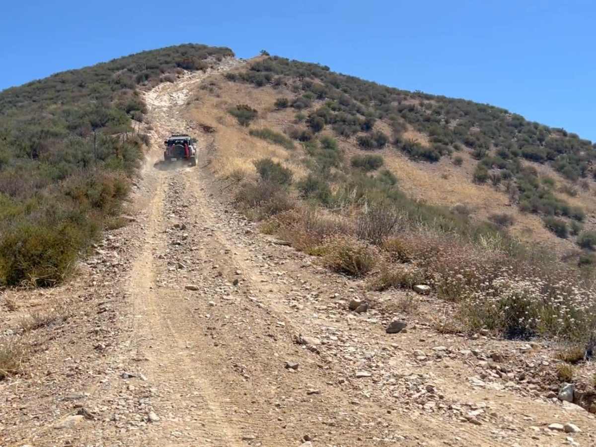
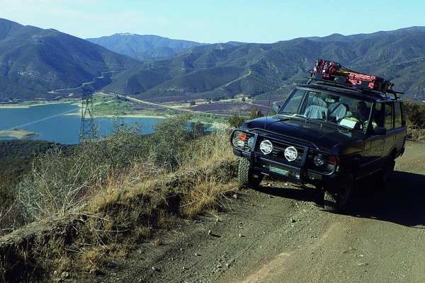
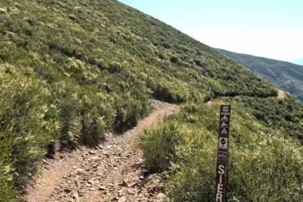
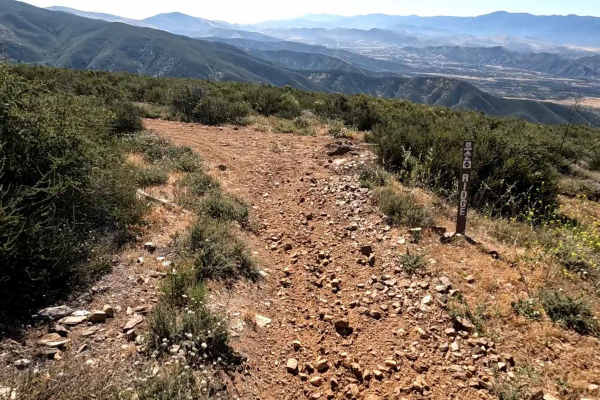
Rowher 4x4 Trail is a short but technical OHV route located within the Rowher Flat OHV Area near Santa Clarita, California. This trail is purpose-built for off-road vehicles and offers a concentrated mix of steep climbs, loose decomposed granite, rutted sections, and off-camber lines that test traction and driver control. Expect multiple hill climbs with varying difficulty, including loose hill ascents that can change significantly with weather and use. Erosion ruts and exposed rock create optional lines, allowing drivers to choose between moderate and more aggressive routes. After rain, the trail can become much more challenging due to slick surfaces and deeper ruts. This is not a high-speed trail—it’s all about controlled crawling and picking the right line. The trail is a popular training ground for drivers dialing in suspension, tire pressure, and vehicle capability. Surrounding terrain is classic SoCal chaparral with wide views across the Rowher Flats area, and beyond, but the focus here is firmly on technical driving rather than scenery.
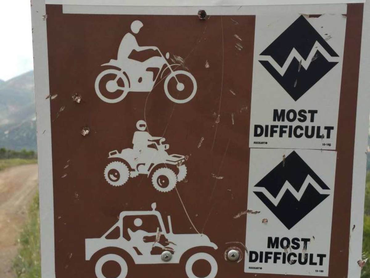
Difficulty
Rowher 4x4 Trail is best rated a 6 due to its long, sustained, steep hill climbs combined with loose decomposed granite, deep ruts, and off-camber sections that require consistent traction and committed driving. Unlike shorter obstacle-based trails, several climbs here demand maintaining momentum over extended distances. Loss of traction partway up can result in difficult recoveries or multi-attempt ascents, especially in loose or churned-up conditions. Ruts and erosion frequently force vehicles into uneven, off-camber positions, requiring careful wheel placement and throttle control. While multiple lines exist, even the easier routes still require high-clearance 4x4 capability and driver experience. Trail conditions vary significantly—dry conditions reduce traction, while wet conditions can make climbs substantially more difficult and push sections toward the upper limit of this rating.
History
Rowher 4x4 Trail is part of the larger Rowher Flat OHV Area, one of the primary designated off-highway vehicle recreation areas within the Angeles National Forest. The OHV area was formally developed and managed by the U.S. Forest Service to provide a controlled environment for off-road recreation while reducing unauthorized trail use across the surrounding forest. The terrain in Rowher Flats has long been used informally by local riders and 4x4 enthusiasts, dating back decades, with many of the hill climbs and routes evolving from repeated use across the steep, decomposed granite hillsides. Over time, the Forest Service designated specific routes and obstacle areas—including the 4x4 Trail—to concentrate higher-difficulty driving into sustainable zones. Unlike historic wagon roads or mining routes found elsewhere in the region, Rowher 4x4 Trail is a modern recreation trail, purpose-built and shaped by both natural erosion and ongoing OHV use. Its steep climbs and rutted lines continue to change over time due to weather, trail traffic, and periodic maintenance efforts. Today, the trail serves as a training ground for off-road drivers, a testing area for vehicle setups, and a popular destination for Southern California’s 4x4 community.