Trail Overview
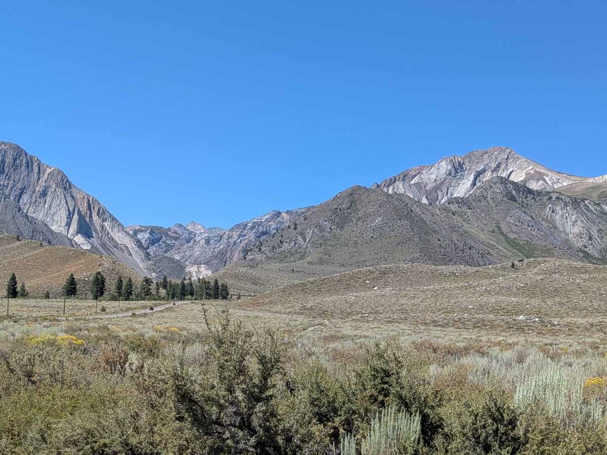
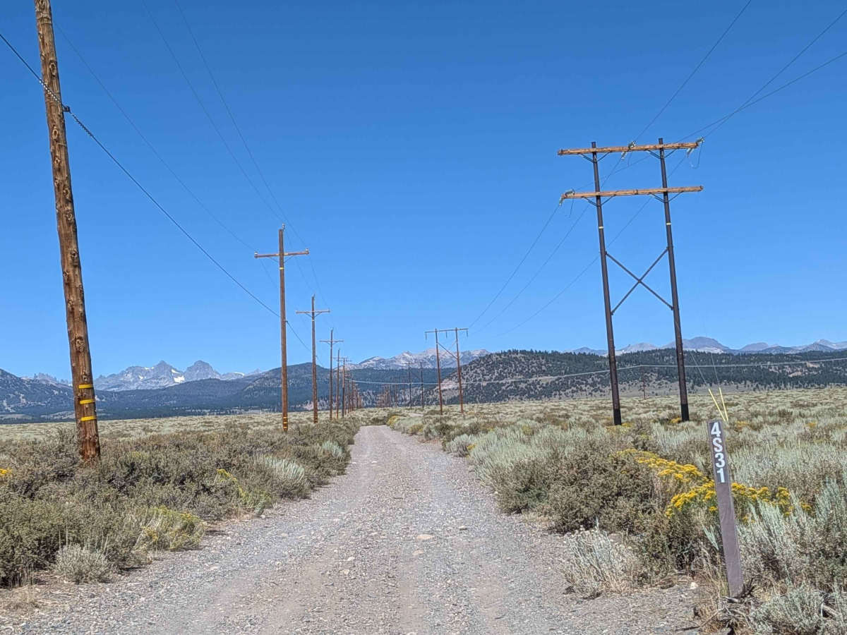
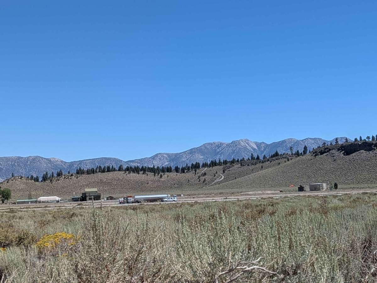
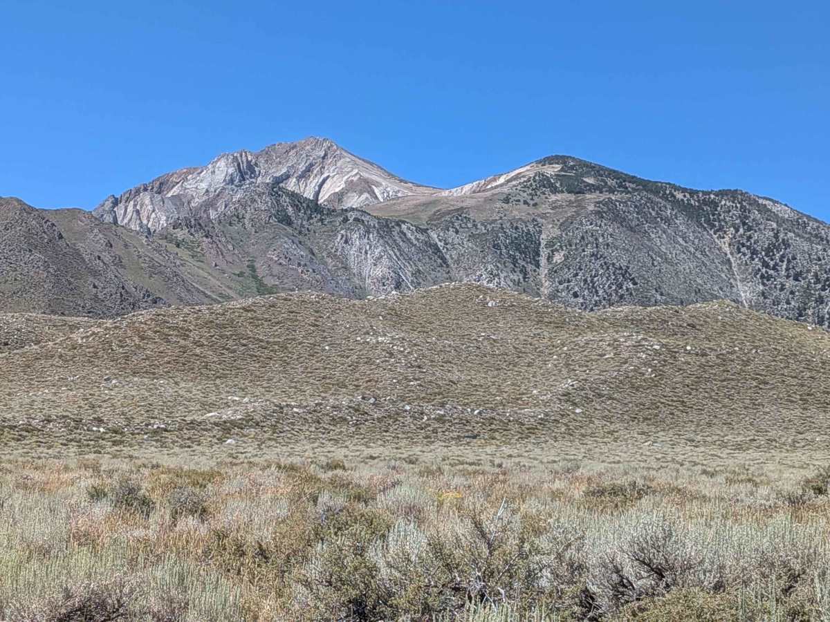
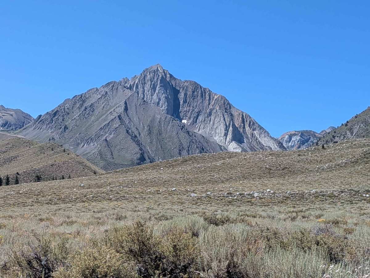
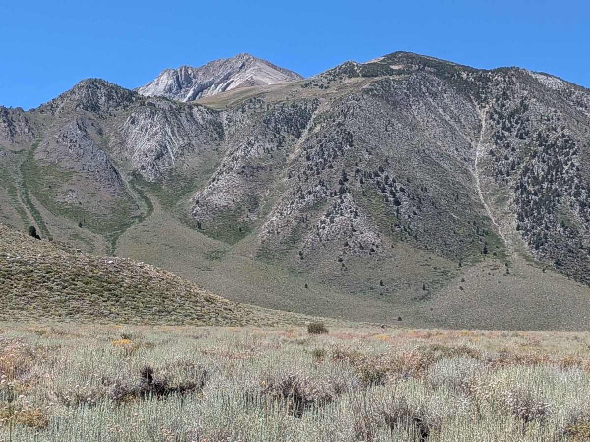
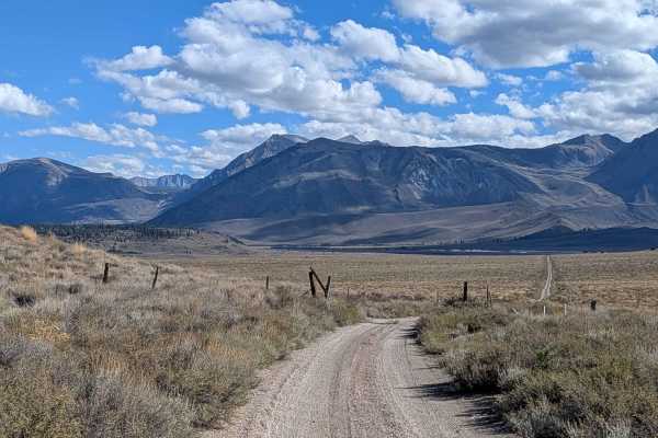
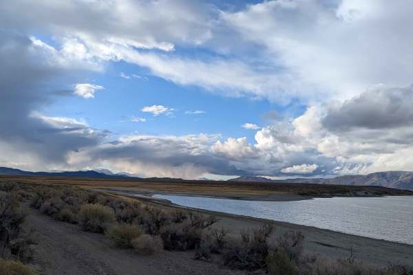
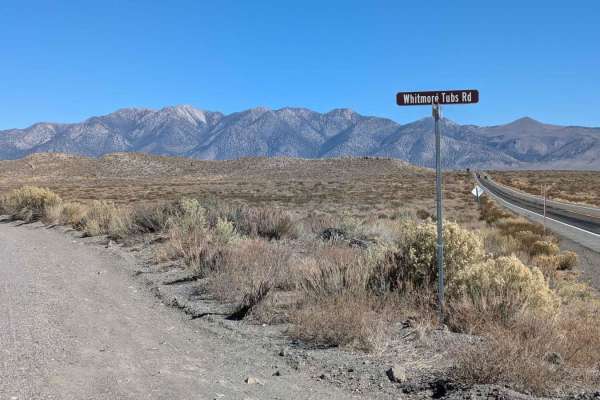
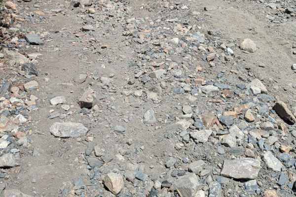
This scenic gravel and sand track runs through Inyo National Forest and lands managed by the City of Los Angeles Water District, offering an immersive backroad experience along the base of the Eastern Sierra. The trail is accessible from either Convict Lake Road or Sherwin Creek Road, with the recommended route being south to north for optimal mountain views. The drive begins with a relatively smooth gravel surface, winding through expansive open meadows filled with sagebrush and seasonal wildflowers. Majestic views surround you, including Laurel Mountain, Mount Morrison, Mount McGee, Mammoth Mountain, Banner, Ritter, the Minarets, and the Glass and White Mountains to the east. About 3 miles in from the southern end (or 8 miles from the north), be alert for a sudden drop-off, especially if you're moving quickly. The trail becomes increasingly narrow, particularly after passing through a livestock gate near a runoff pond. That lake, while visually appealing, is highly polluted with heavy metals — do not swim in it or allow animals to drink from it. As you head north, the road surface shifts to rougher rock and gravel, with some ruts, whoops, and vegetation encroaching in the center of the trail, which can create problems for low-clearance vehicles. This is also a shared-use area: expect open-range cattle, and potentially hundreds of migrating deer, especially during seasonal shifts.
Difficulty
Suitable for high-clearance vehicles; however, 2WD with good tires can typically handle this trail in dry conditions. Take care with the center foliage, sudden drop-off, and narrow north-end section. Cautions: Unexpected drop-off 3 miles in from the south. Polluted runoff pond – no swimming or animal access. Deer migration corridor and grazing cattle. One-vehicle width on the northern portion.