Sheep Canyon

Total Miles2.2
Technical Rating
1Easy
Best TimeSpring, Summer, Fall, Winter
Trail TypeFull-Width Road
Accessible By
Open Trail Map

Trail Overview

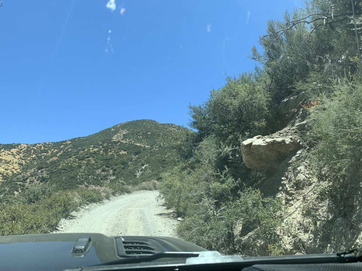
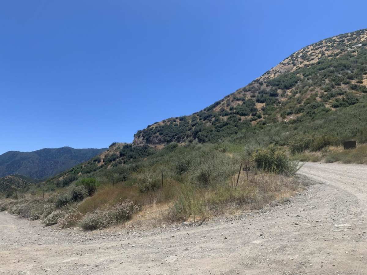
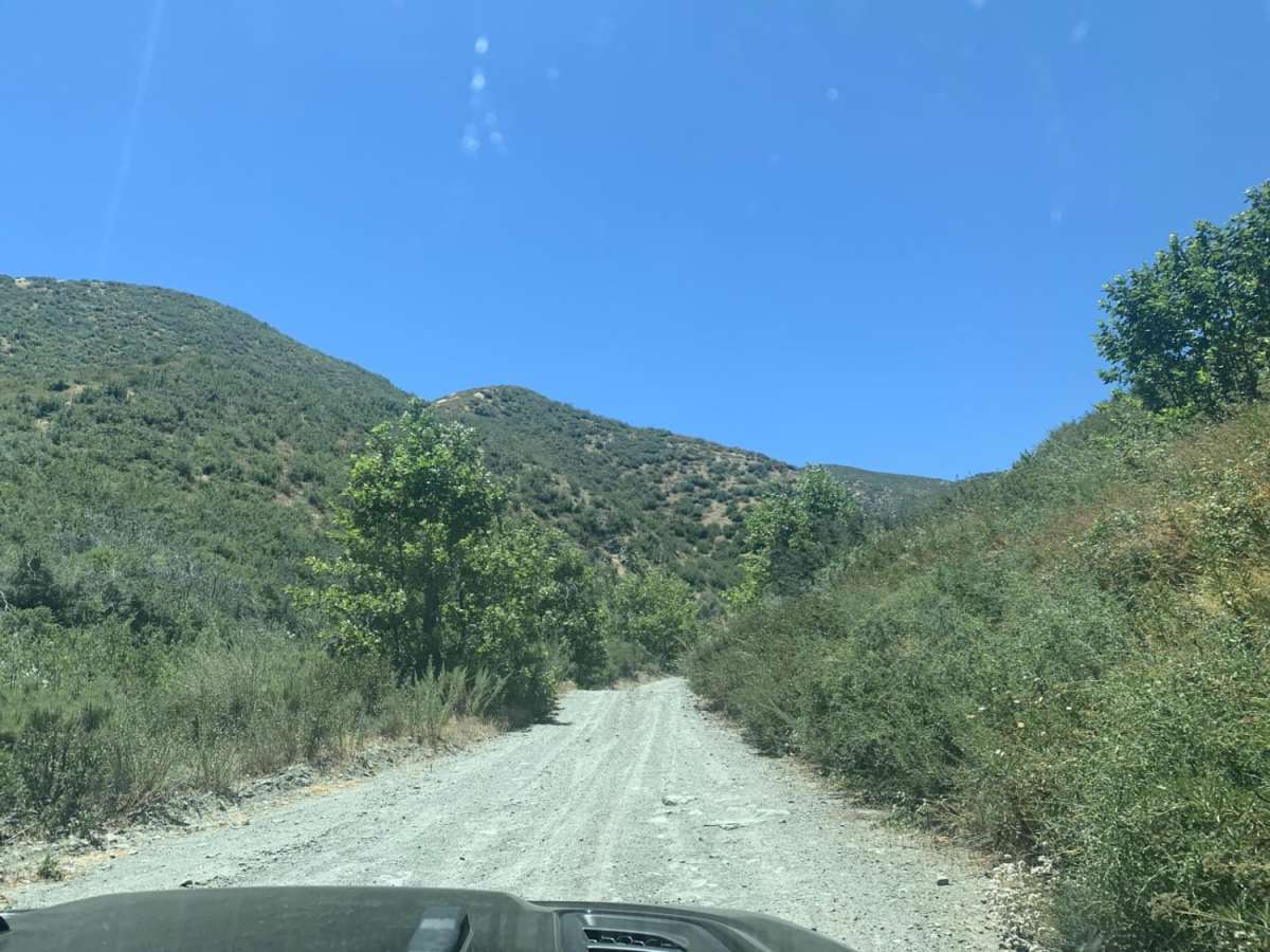
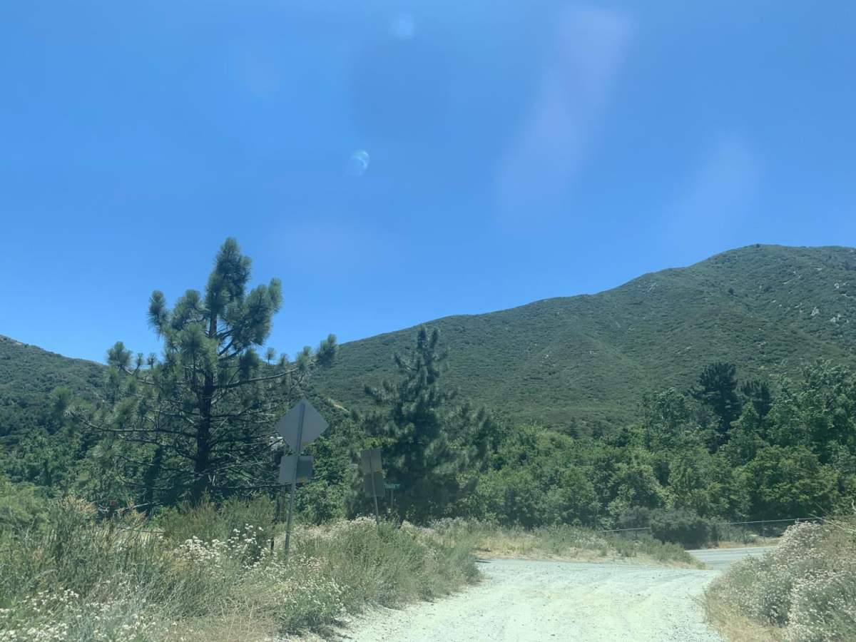
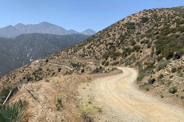
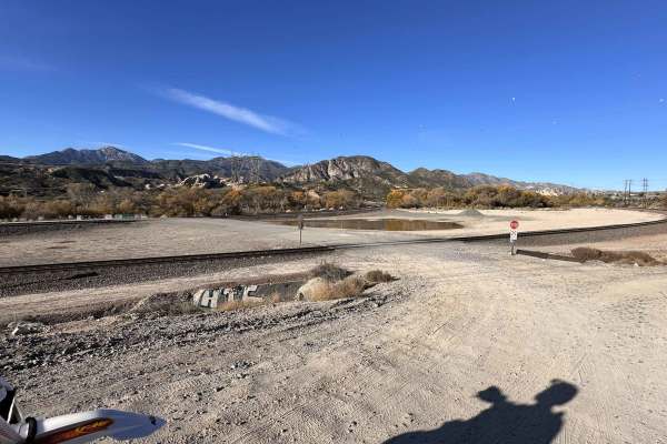
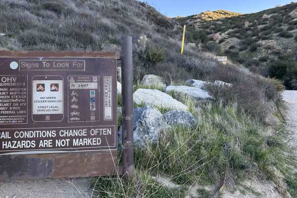
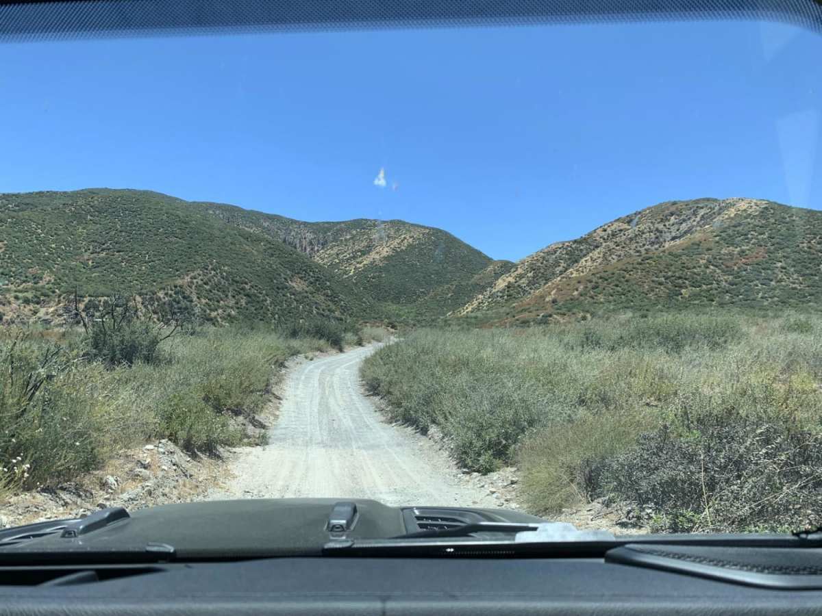
Sheep Canyon is an ideal route for beginner offroaders and drivers of stock SUVs seeking a scenic, low-stress connection between Lytle Creek and Swarthout Canyon. This easy, dirt track winds through the rugged chaparral of the eastern San Gabriel Mountains, offering scenic vistas of the surrounding peaks and canyons. The trail features a mostly graded dirt and gravel surface with minimal technical challenges, making it highly accessible for standard high-clearance vehicles. While the route is mostly straightforward, drivers should expect occasional loose dirt and mild ruts, particularly on the steeper uphill sections which can become slick when wet. Connecting Swarthout Canyon Road to Lytle Creek Road, this point-to-point route serves as an excellent connector for longer offroad adventures in the Cajon Pass area, allowing travelers to easily link up with neighboring forest service roads. Because only street-legal vehicles are permitted, the trail is ideal for dual-sport motorcycles, overland rigs, and stock four-wheel-drive SUVs, while non-street-legal vehicles and SxSs are prohibited. The route is generally open year-round, though winter storms can occasionally bring light snow or muddy conditions. Seasonal gate closures may occur during periods of high fire danger or severe winter weather.

Photos of Sheep Canyon

Difficulty

Very easy road.

Technical Rating

1

Status Reports

Add Status Report
Kevin Samuelson
Jul 23, 2026
2019 Jeep Wrangler JL
Open
DustyWashboard
Trail was very dusty, slightly overgrown with some wash board and very small rocks…
Joseph Baker
Jun 20, 2026
Open
NormalDusty
Decent shape with minimal rutting. Lytle Creek side through to 15. Large tree still there near 15 (E) side.
Codey Judd
Mar 06, 2026
2022 Ford Bronco
Open
Rough/Deteriorated
Came from Lytle creek side and it was open, turned off at 3N31Y and didn’t go all the way through
David Heard
Jan 15, 2026
Temporarily Closed
2N56 to 3N29 is closed due to storm damage and road washed out. Forest Order 05-12-00-25-04 in effect from July 23, 2025 to July 21, 2026. Forest Service Road Closed. Gate may be open, but road is still considered closed and if Forest Rangers see you on this road you can be ticketed and fined $5K.
Hai Nguyen
Jan 01, 2026
Obstructed
Washout
Rocks and mud slide fully blocked the trail.
Jonathan C
Sep 12, 2025
Open
Normal
phil gil
Jul 18, 2025
Open
NormalDusty
Sheep Canyon wide super easy dirt road. Open gate at Lytle Canyon rd (FR3n06) and open gat at intersection of Upper Lytle Canyon Creek Divide.
Paton Price
Jul 11, 2025
Permanently Closed
Locked Gate
Main gate is closed is only open to hiking and non motorized vehicles for now I know it’s open sometimes
Lu Diaz
Jul 06, 2025
2024 INEOS Grenadier
Open
Dusty
Dirt road until you hit the Lytle Creek fork, then a rocky but easy 1 mile trail down to Swarthout Canyon Road.
Braxton Oglesby
Jul 03, 2025
Open
Peter De La Riva
May 16, 2025
2017 Ford F-Series
Open
Normal
Did it in a stock F-150 with street tires no problems in 2wd.
Dillon shaddox
Mar 30, 2025
Open
J I
Feb 08, 2025
Open
Normal
Mike Hodge
Jan 27, 2025
Open
Snow/Ice
Great time today, snow from the recent storm.
Luis Vasquez
Jan 04, 2025
Open

Sheep Canyon Trail can be accessed by the following ride types:

  • Single Track
  • High Clearance
  • Full Width

Access Description

Only street-legal vehicles are permitted on this route. Seasonal gate closures may occur due to winter weather or high fire danger within the San Bernardino National Forest.

Sheep Canyon Map

The onX Offroad Difference

onX Offroad combines trail photos, descriptions, difficulty ratings, width restrictions, seasonality, and more in a user-friendly interface. Available on all devices, with offline access and full compatibility with CarPlay and Android Auto. Discover what you're missing today!

Open Trail Map