Trail Overview
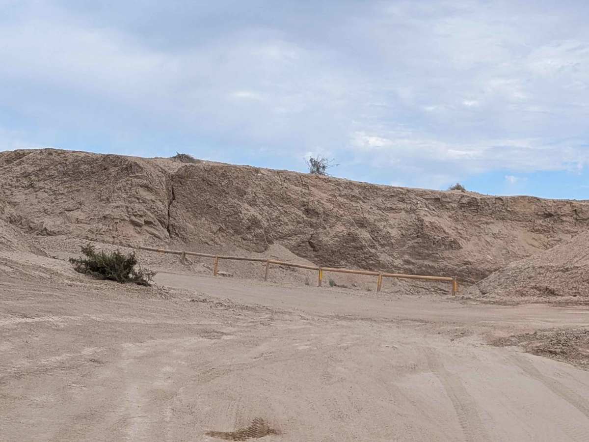
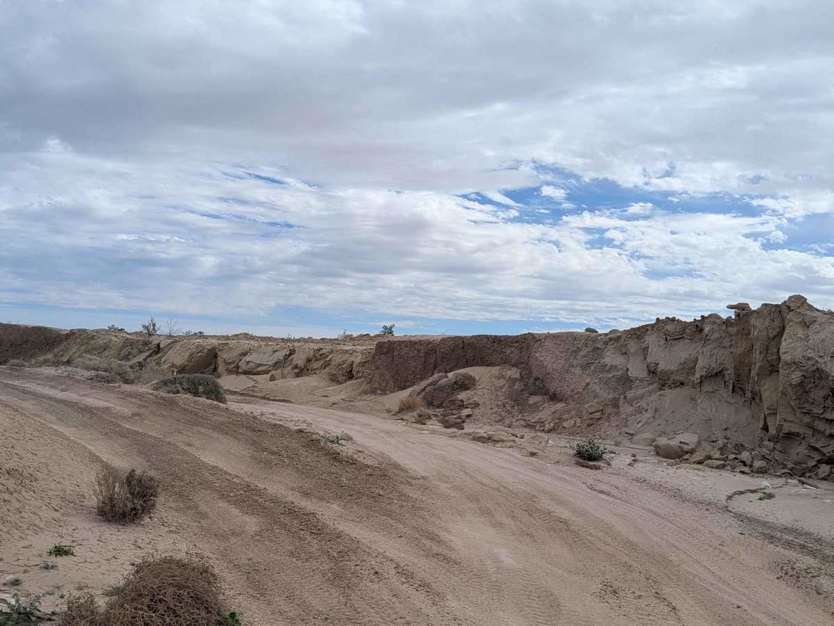
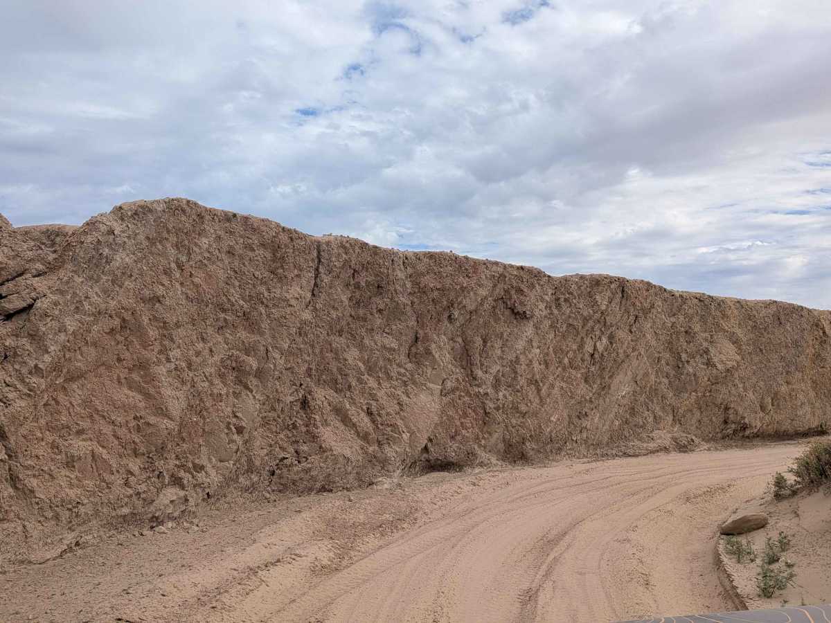
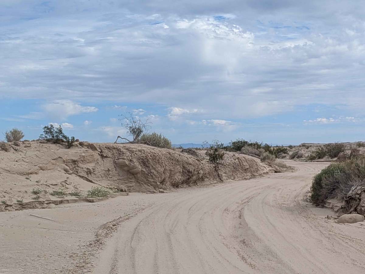
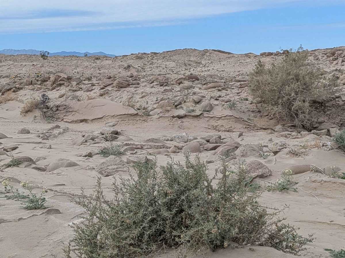
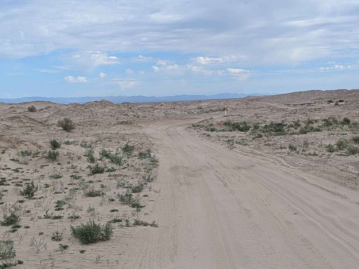
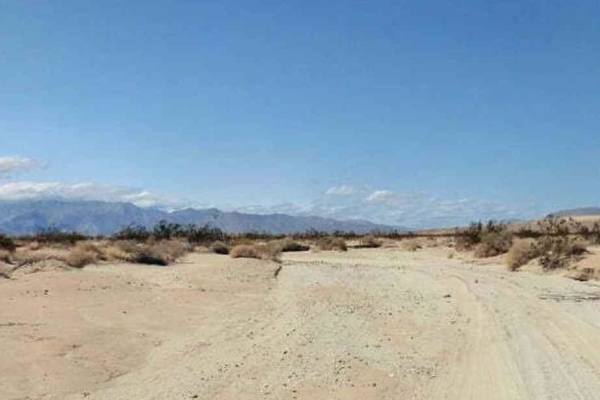
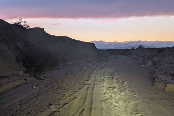
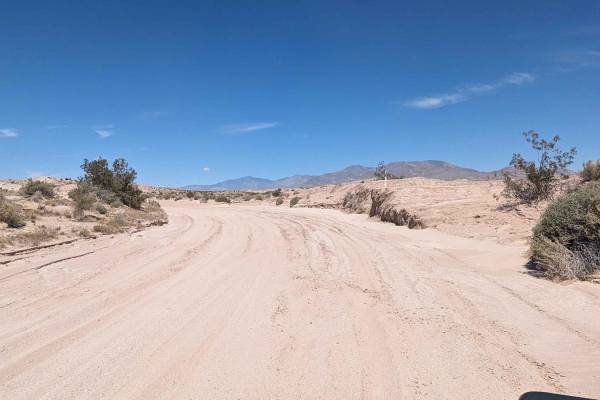
Sand Rail Wash is a fairly narrow east-to-west wash with very deep sand throughout, probably the most sandy wash in the area. The route cuts through a series of different terrains, including some small mounds of sand covered with desert flora, some sections with mud walls, and some small sand dunes, creating varied scenery. The trail cuts across the Freedom Trail along the way. This trail is a very fun, smooth, fast wash that rewards momentum and skilled sand driving. There are areas with steep cornering banks and some sections with deep ruts that add excitement. Be cautious, though, as there are a couple of rock and off-camber sections that come out of nowhere and can catch you off guard. Note there is no cell service in this wash. This is in the Ocotillo Wells State Vehicular Recreation Open Riding Area, the largest in California, where registered OHV and highway legal vehicles are allowed.
Difficulty
The very deep sand, being probably the most sandy wash in the area, requires four wheel drive and airing down is absolutely essential for maintaining momentum. The steep cornering banks and deep ruts demand skilled throttle control and line choice. The rock and off-camber sections that come out of nowhere are serious hazards requiring constant vigilance. The narrow width and varied terrain keep you on your toes. This is an exciting, flowing wash for experienced sand drivers.