Trail Overview
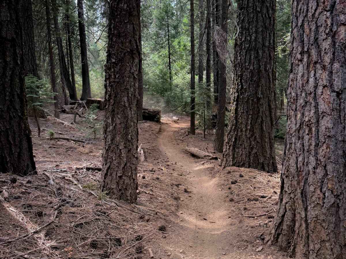
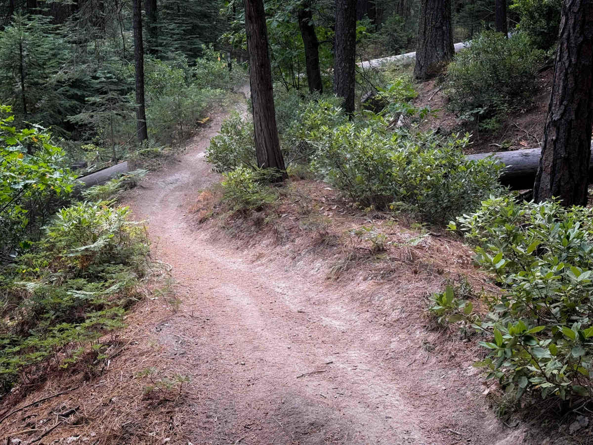
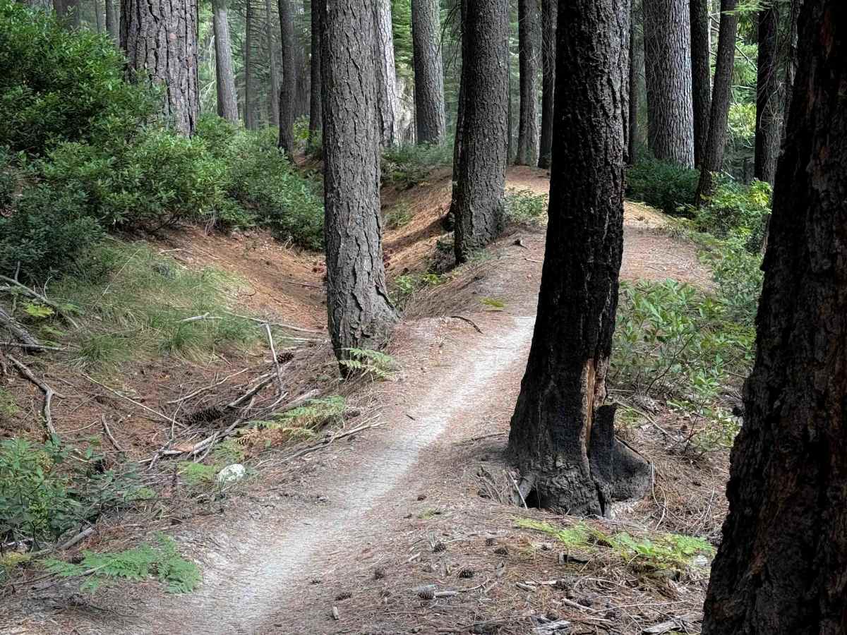
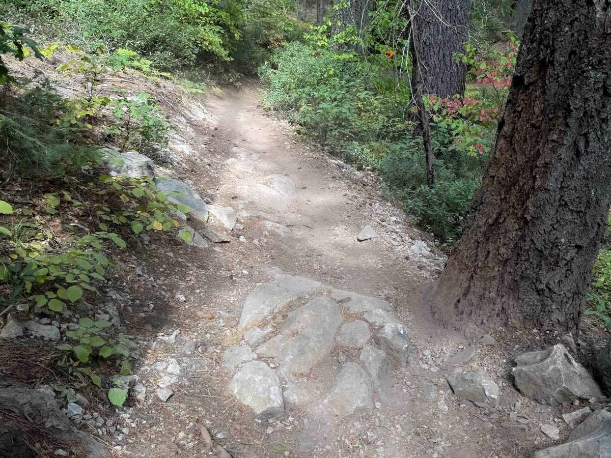
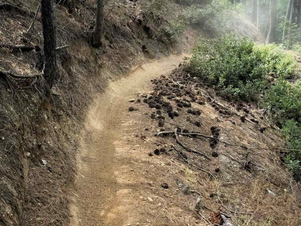
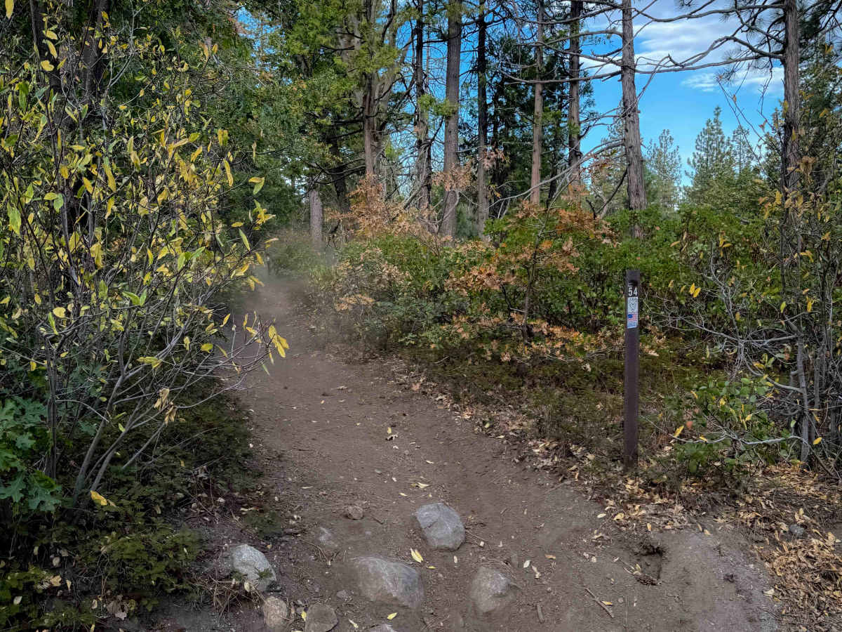
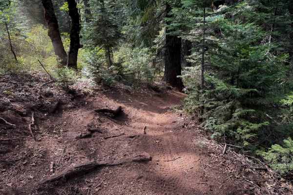
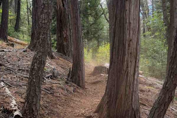
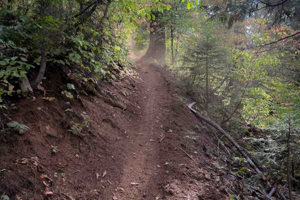
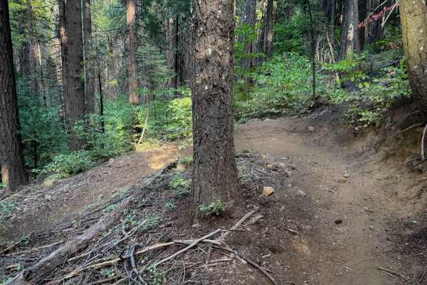
This easy singletrack runs along the north side of the Burlington Trail System, north of Highway 20. The west end crosses the highway to access the rest of the Burlington Trail System, while the east end connects to the singletrack Last Chance #55. The Omega Observation Site/Scenic View Area is a great place to stage in the middle of this route and access the rest of the trail system. The trail is 4.3 miles of tight and winding singletrack, through a dry pine forest on loose dusty dirt. It’s mostly smooth dirt, but there are lots of root bands across the trail, but not many rocks. Some of the roots create moderately easy ledges or drop-offs, but all should be pretty manageable for average riders. Most of it is a pretty wide path, with a few tighter sections in between the tree branches. The terrain is the same for the entire route, just constantly winding through the trees with tight switchbacks, big hairpin turns, and sharp corners like a turn track. It maintains a very gradual grade as it parallels the highway, mostly staying flat through the forest floor with not much elevation change. There are many road crossings and access points throughout the trail, as it passes several dispersed campsites on the forest roads that can be used for staging.