Jaime Gallegos
yesterday
2025 Ford Bronco Badlands
Open
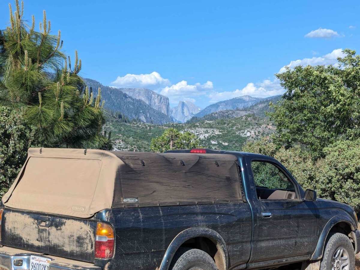
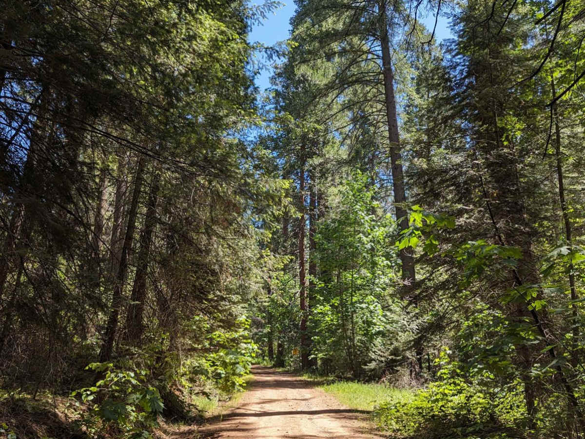
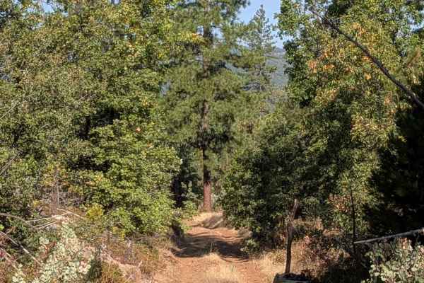
Completed the full route from Buck Meadows through Foresta, covering approximately 50 miles in about 3 hours. This is an outstanding trail with incredible scenery and a fun mix of terrain.
I was a little surprised that there were a handful of rocky sections and ruts where I shifted into 4L, but those obstacles were short and manageable. For the vast majority of the trail, any high-clearance vehicle with a capable driver should do just fine.
Be aware that the brush is fairly tight in several sections. My Bronco picked up quite a few pinstripes, so if you're concerned about your paint, that's something to keep in mind.
The waterfall along the route was a fantastic surprise and definitely one of the highlights of the trip. Overall, this is a scenic, historic trail that offers a great balance of easy cruising with just enough technical driving to keep it interesting. I would absolutely recommend it for anyone looking for a beautiful r
Tim Garcia
May 01, 2026
Open
Muddy/Wet
There were a lot of downed trees but someone cleared them enough for 4 wheel traffic. Several large puddles and plenty of ruts. Little Nellie Falls was running pretty good. I went out through Foresta and through the gate of Yosemite.
Brion Wood
Feb 11, 2026
Temporarily Closed
Closed Gate
Jorge Rivera
Dec 06, 2025
1990 Ford Ranger
Open
NormalDusty
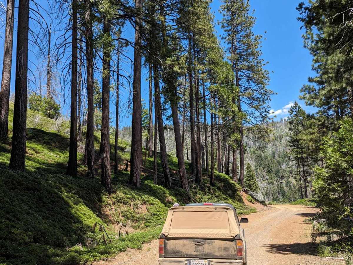
Trail was easily completed in a 2wd 90s ranger on 28" tires and a posi. Started on Yosemite end and ended up taking Bull Creek Road North. There were a few 6" deep puddles and some ruts where high clearance was needed. Other than that, be prepared for a long drive.
Victor Escalante
Dec 06, 2025
Open
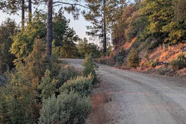
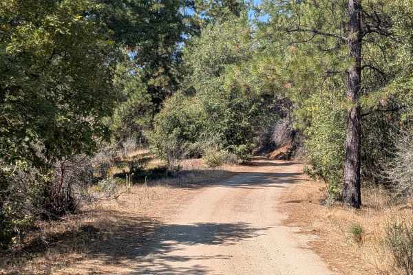
Old Yosemite Road is open, and the conditions are great right now.
The trail is fully passable, with a few rocky sections but nothing too technical.
Beautiful views along the way and overall a smooth, enjoyable experience. Highly recommend it.
Steven Z
Oct 12, 2025
2024 Ford Bronco
Open
Normal
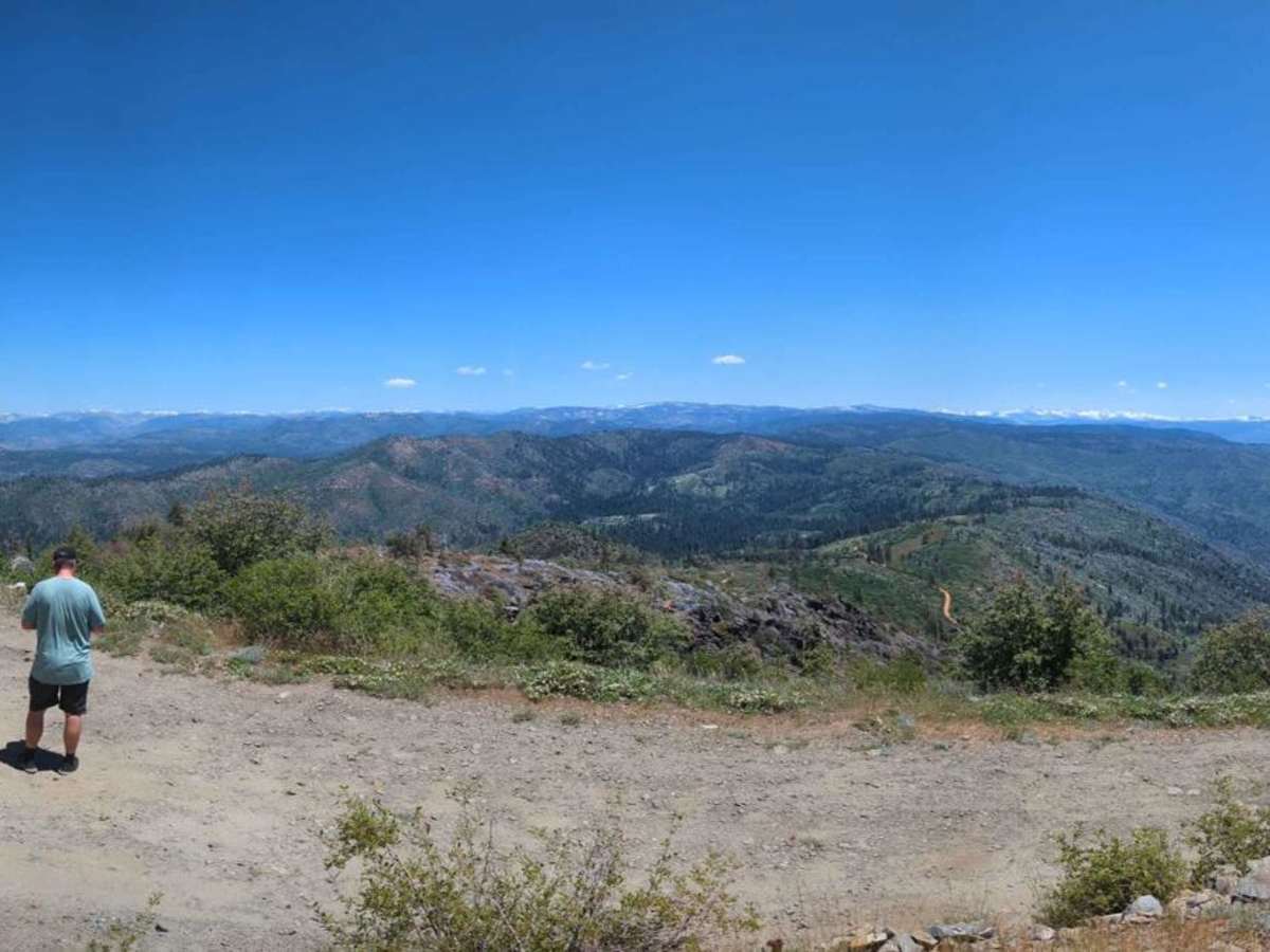
Fairly easy trail, gets a little technical towards the end, the road is about 40miles long if you are going through all the way so keep in mind you have about 10-15miles to go after OnX indicates.
Jack Cimino
Oct 11, 2025
Open
davie olivas
Oct 04, 2025
Open
Normal
Funkly Runner
Sep 30, 2025
Open
Normal
Nice easy trail with great views was foggy when I went so not a whole lot to see. I was the only one on the trail until I got to the water crossing at little Nellie falls (which was like 10’ long in 4” of water so not difficult) and there was someone camping at the spur right there. That is also the location of really the only spot that you’d have to pay attention when heading towards Yosemite as the turn right before the crossing is pretty steep and has a pretty good rut that I didn’t want to slide into but other then that nothing to it.
J s
Sep 15, 2025
Open
Normal
Stock TJ.
orlando h
Aug 20, 2025
Open
NormalDusty
Pretty easy, encountered one person while on the trail coming the opposite direction but luckily I could turn out and let pass. I will say there are several sections that can fit two full width vehicles but there are also several spots where it’s one width and expect pinstripes. I would not recommend if not high clearance to attempt the trail starting from the Yosemite side as I would say the hardest portion is right by the water fall including steep incline and deep ruts.
Panamint Valley
Jul 28, 2025
Open
NormalDusty
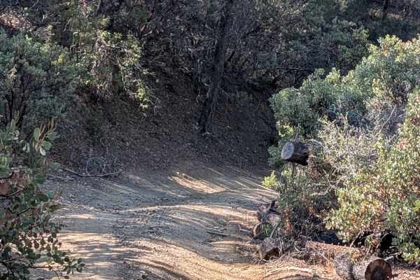
Most of the trail goes through dry and dusty forest or former burn areas, but there are nice stretches through dense growth. The best part is Little Nellie Falls near the Yosemite end. Pick up others' trash along the way and help keep it open. I'm surprised the Park Service hasn't closed their gate into Yosemite.
slump god
Jul 27, 2025
Open
Dusty
Entered from coulterville side, took about 1.5 hours to get all the way through into Yosemite. Some washouts on the trail, would recommend at minimum 2wd with fairly aggressive all terrains. 4x4 would make some of the steeper sections easier, but not necessary at all. There is a fair amount of downed trees, most of which have already been cleared but I had to move 2 myself. The waterfall is beautiful and well worth the drive. If you didn’t already know, you can take this trail all the way into Yosemite and bypass and gates, fees, and wait time/reservations.
Dan K.
Jul 25, 2025
2021 Jeep Wrangler
Open
Eric W
Jul 19, 2025
2023 Ford F-Series
Open
Dusty
Did not expect to start the trail scaling a mountain withhold a large drop off. It was wide enough for a F150 Raptor. Very scenic. This was my first off roading experience and got through the trail with no hiccups.