Trail Overview
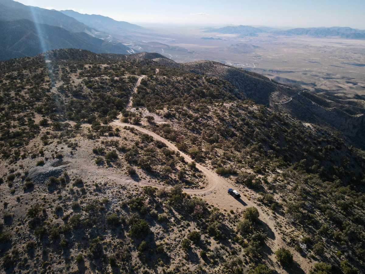
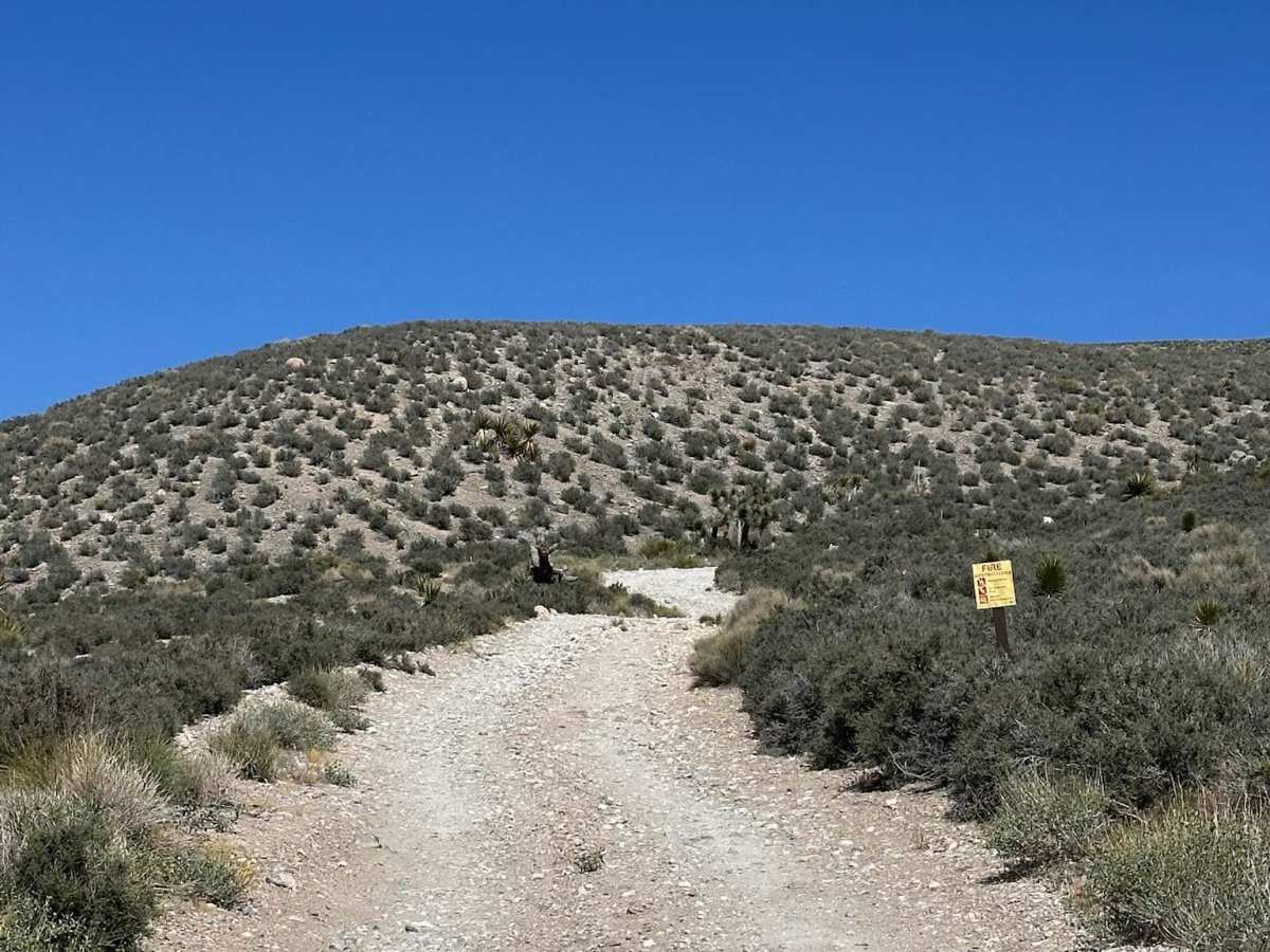
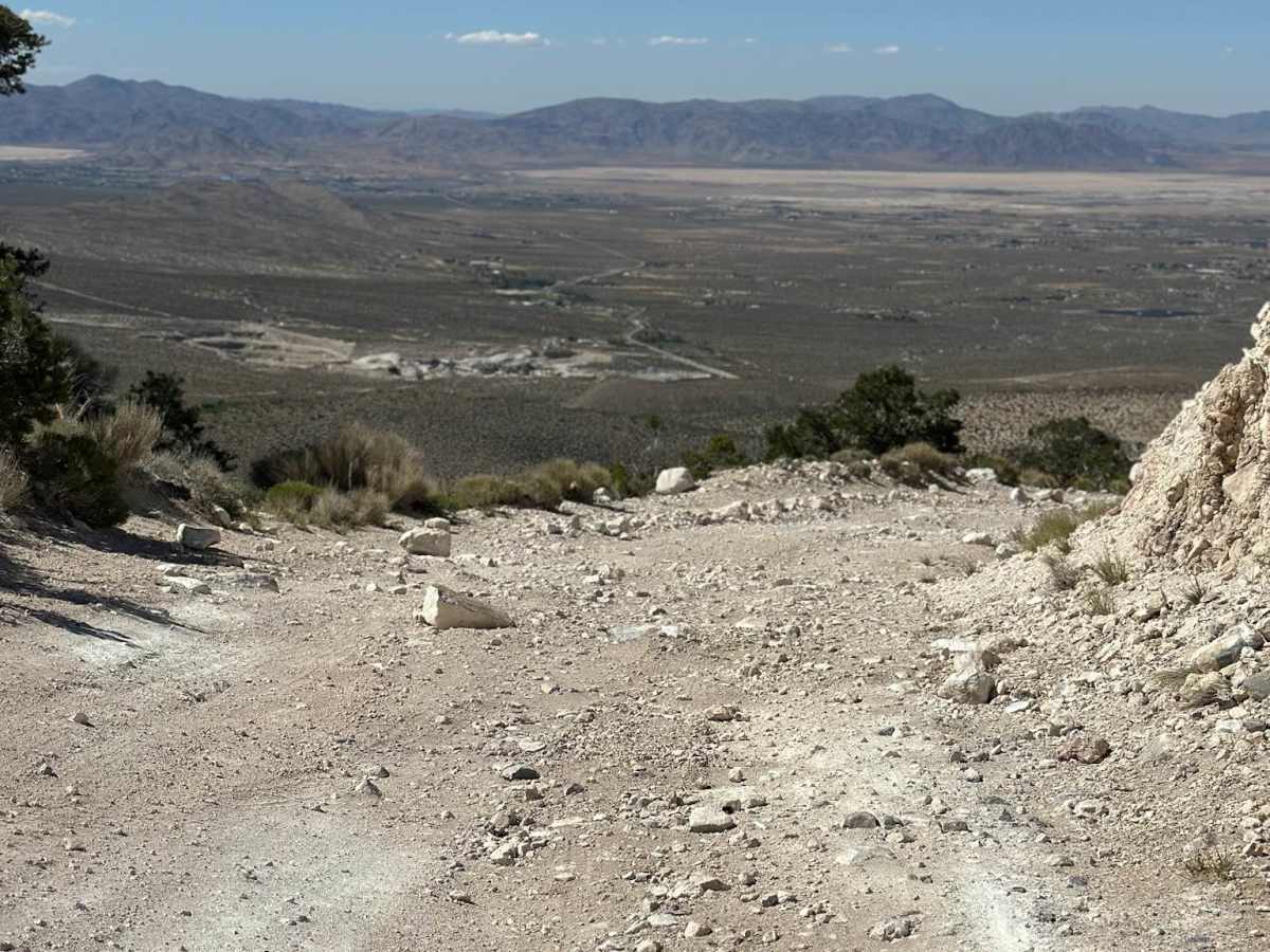
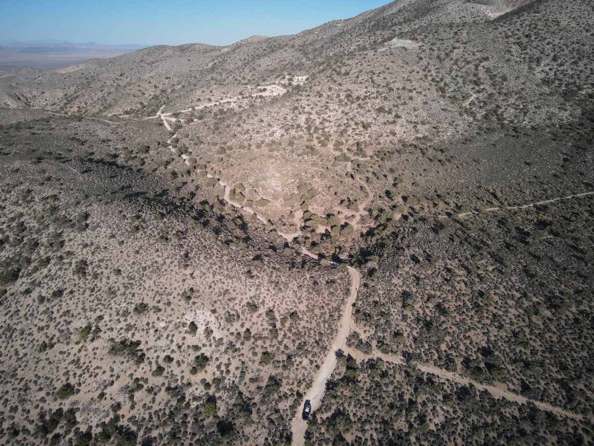
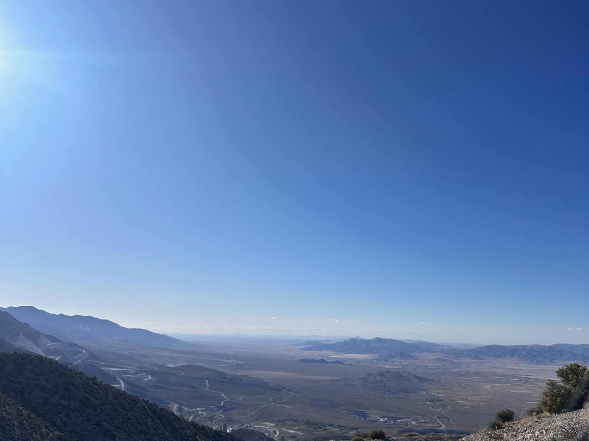
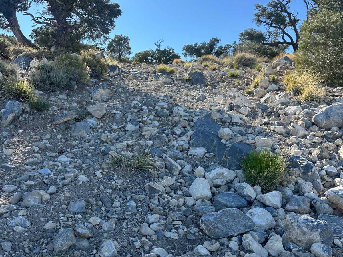
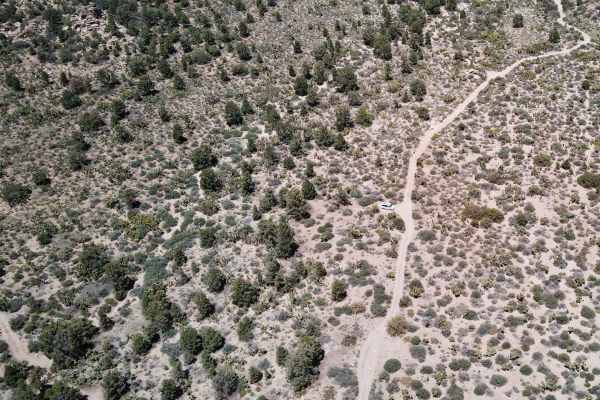
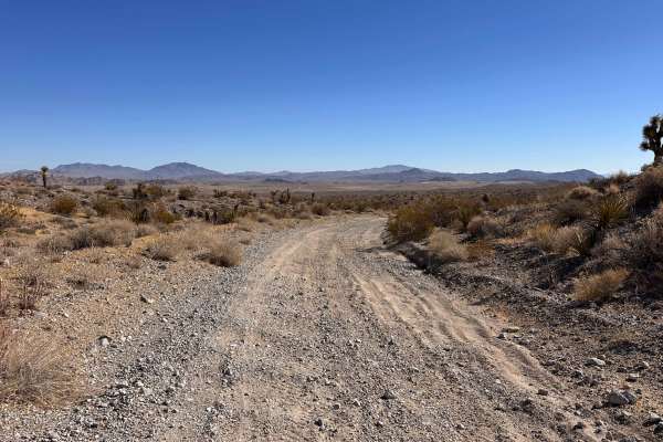
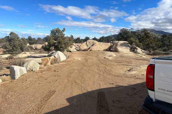
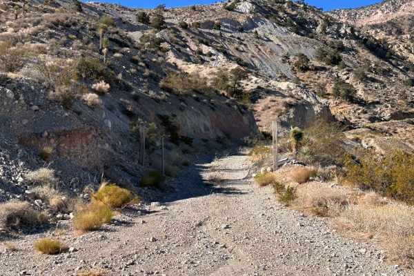
Monarch Flat (3N36) delivers a scenic desert forest road experience just off Highway 18, directly across from the Mitsubishi Cement Plant. The route begins with a gradual climb before transitioning into steeper, looser terrain as it gains elevation toward Silver Peak. This trail winds through a high-desert environment dotted with Yucca trees, offering wide-open views and a quiet, remote feel. The road remains mostly single-vehicle width, with occasional turnouts and dispersed camping spots tucked along short spur roads. Navigation can become confusing early on, as multiple intersecting roads branch off the main route—including a split near the beginning that leads to a local shooting area. Staying on the primary track is key, and downloading offline maps is highly recommended. Monarch Flat is best suited for those looking to explore, camp, or enjoy a relaxed overland-style outing rather than tackle technical obstacles. The trail eventually works its way toward the Silver Peak area and an old mining site, though loose, steep, rocky terrain near the end may prevent some vehicles from reaching the final stretch.
Difficulty
Rating: Easy → Moderate (conditions dependent). While it is not technically demanding, several factors can increase difficulty: loose gravel throughout reduces traction, especially on climbs; steeper sections (10–15° grades) require steady throttle control; narrow, single-width road limits passing opportunities; off-camber and shelf road sections demand attention and proper line choice; sharp rocks increase the risk of tire damage; and includes loose, steep, rocky terrain that may stop less capable vehicles. In dry conditions, most high-clearance 4WD vehicles will have no issues. After rain or with heavy use, the trail can quickly become more challenging, if not doable.
History
The Monarch Flat and surrounding 3N36 area sits within a region historically shaped by mining activity and mineral extraction in the San Bernardino Mountains. The trail ultimately leads toward the Silver Peak area, where remnants of historic mining operations can still be found, and portions of this region remain tied to active or legacy mining claims. Portions of this route pass through or near active mining claims associated with the Cushenbury Mine Trust, and while the road is commonly traveled, users should remain on designated routes and respect all posted signage, gates, or closures, and not enter active mining areas or equipment zones.