Trail Overview
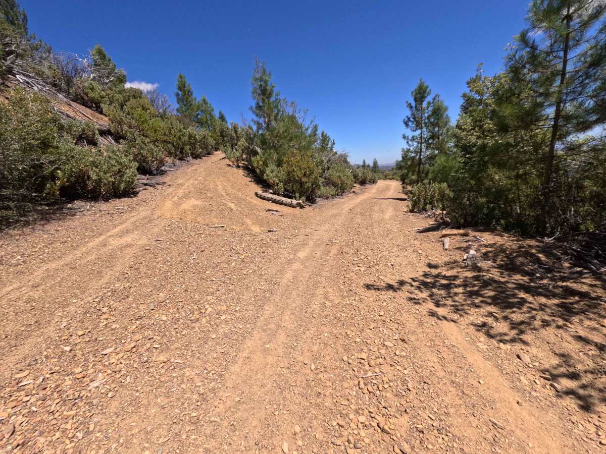
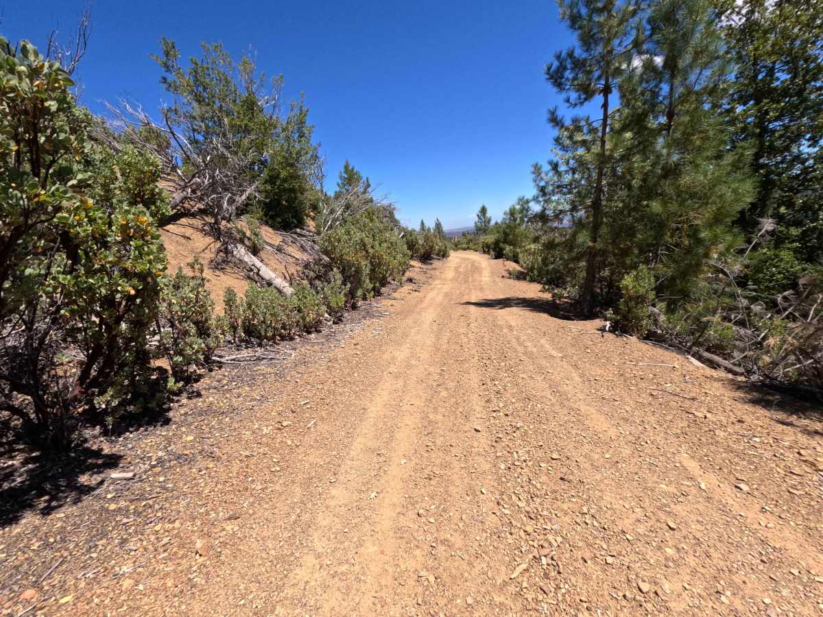
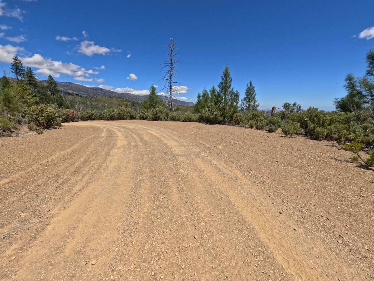
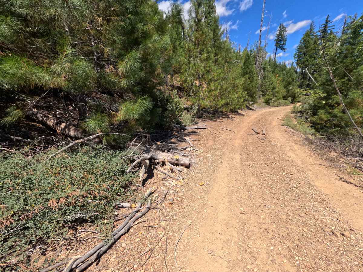
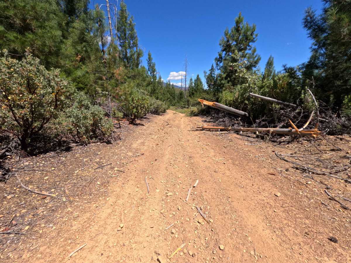
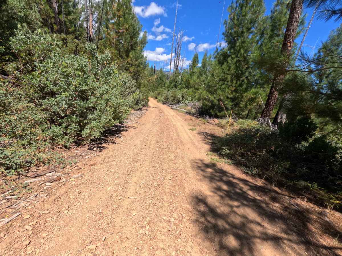
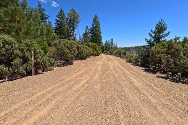
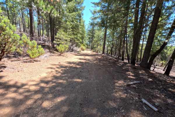
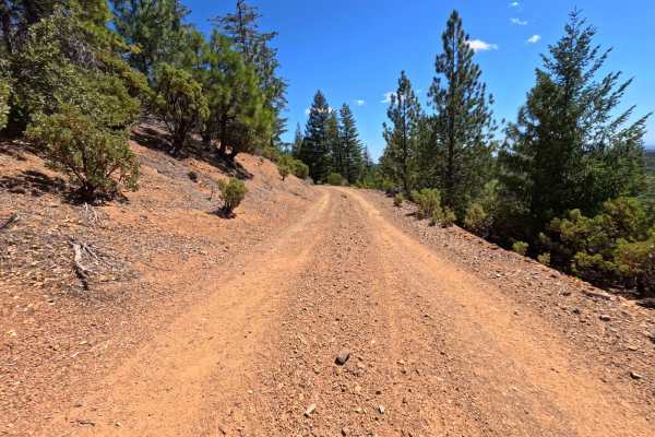
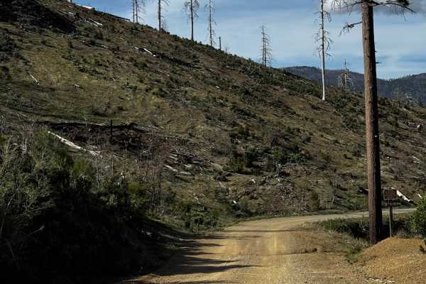
Set within a mixed pine and chaparral forest recovering from the 2018 Ranch Fire in the Mendocino National Forest, Miner Spur B - FS 17N62B offers a secluded mountain-side drive. Accessed directly off of Miner Road - FS 17N62 at a distinct Y-split junction, this 1.3-mile out-and-back dirt spur travels along mountain contours before terminating at a 50-inch width-restricted OHV trail system. Outdoor recreationists and off-roaders primarily explore this path to access primitive dispersed campsites, stage small trail vehicles, or link up with surrounding OHV networks. The driving surface consists of a single-track dirt and gravel track peppered with loose stones and shallow water washouts. Departing the main junction, the road meanders along forested slopes, offering inviting roadside camping turnouts at 0.3, 0.5, and 0.8 miles. Past the 0.8-mile mark, the track grows noticeably rockier with mild rutting, concluding at 1.3 miles where full-width vehicles must turn around at the OHV trail junction.
Difficulty
This single-lane dirt spur presents a straightforward driving surface marked by shallow water washouts, loose shale gravel, and minor surface ruts. Technical obstacles and severe clearance hazards are absent throughout the 1.3-mile route. Drivers should maintain a slow, steady speed, keep wheels centered along minor rutted sections, and pick smooth lines over loose rock patches. Full-width vehicles must execute a turnaround at the 1.3-mile endpoint due to 50-inch width limits on the connecting trails beyond.

 Offroad