Masonic Gulch

Total Miles1.5
Technical Rating
2Easy
Best TimeSpring, Summer, Fall
Trail TypeFull-Width Road
Accessible By
Open Trail Map

Trail Overview

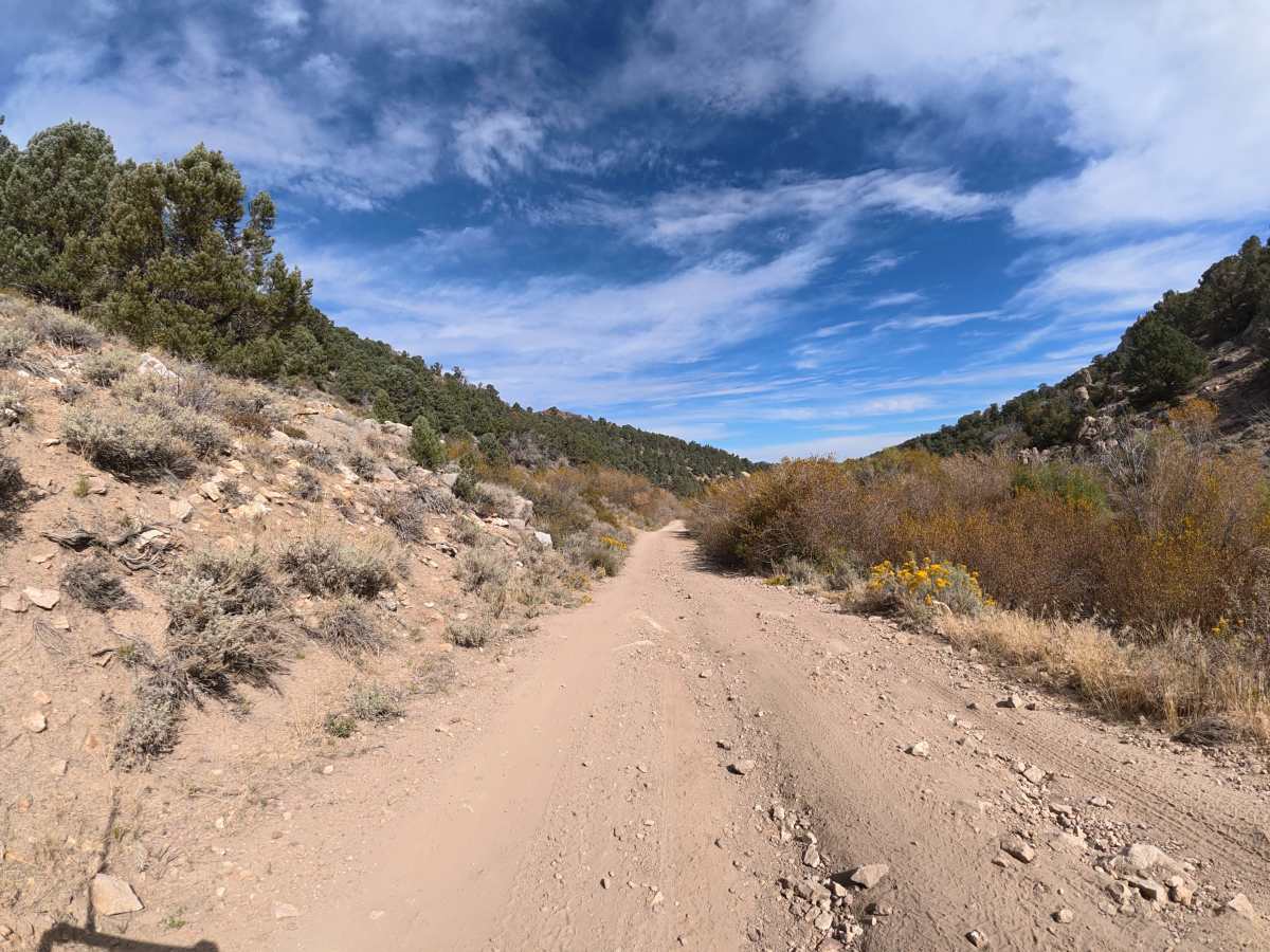
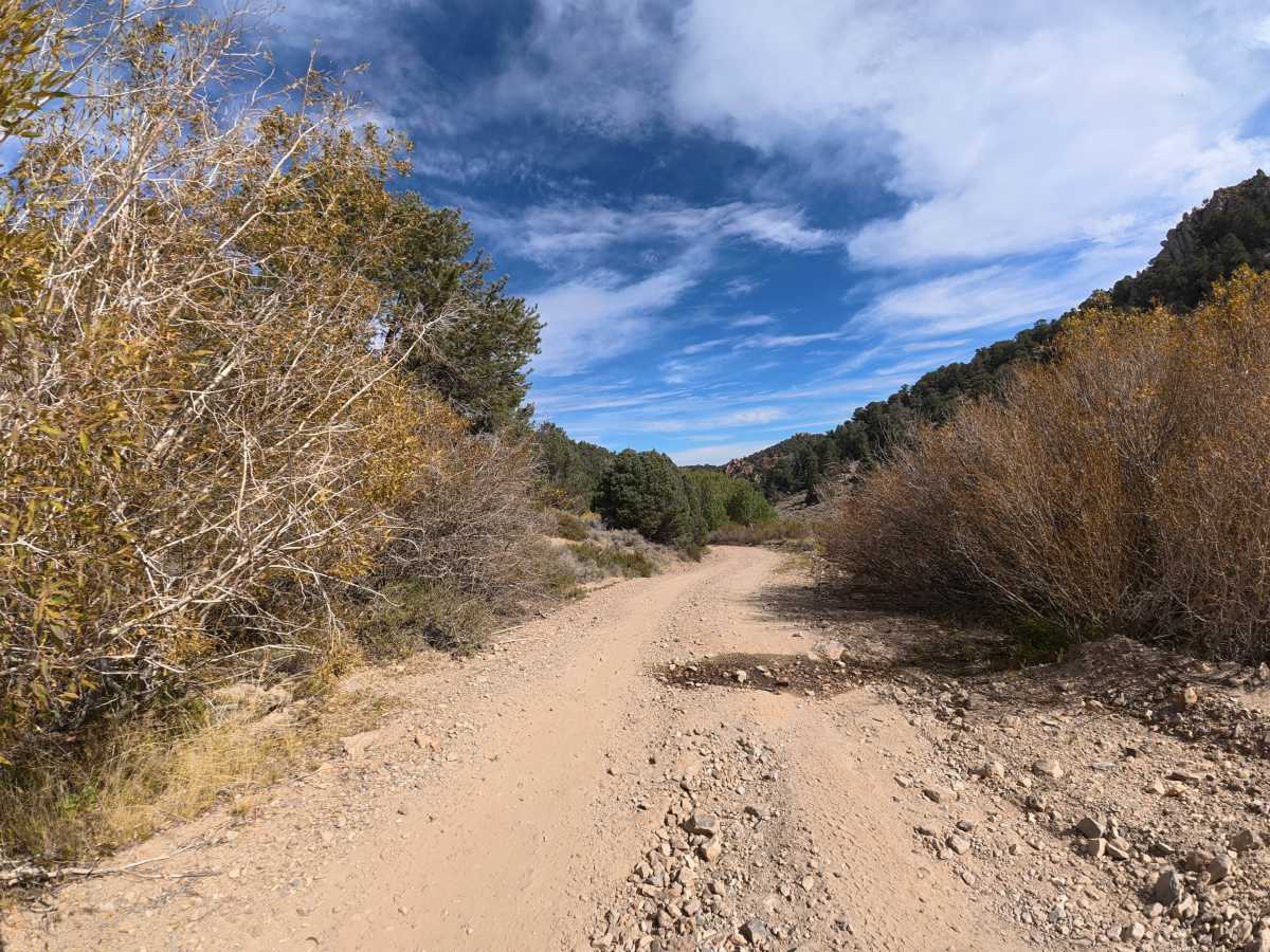
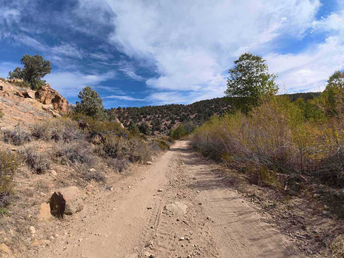
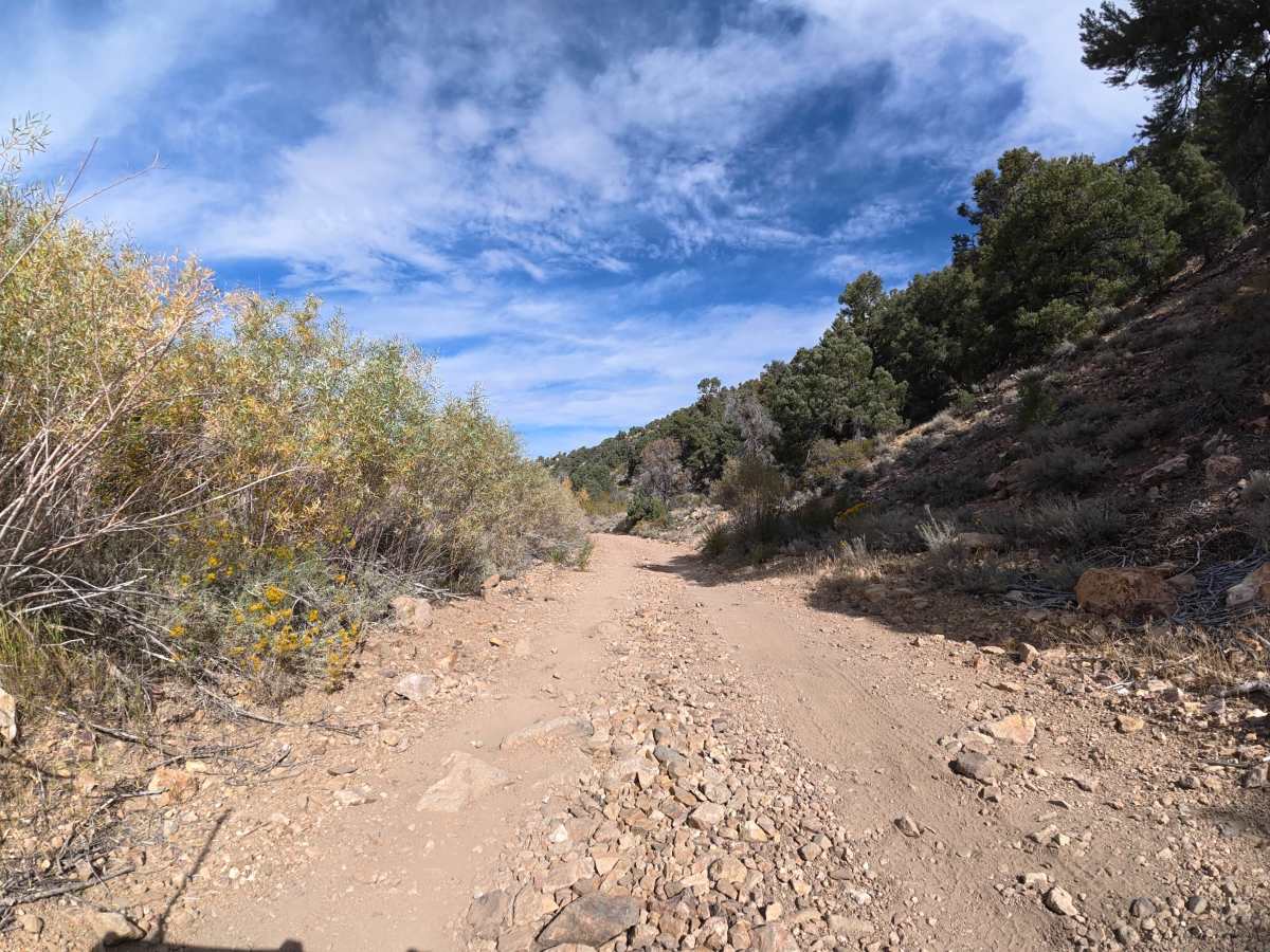
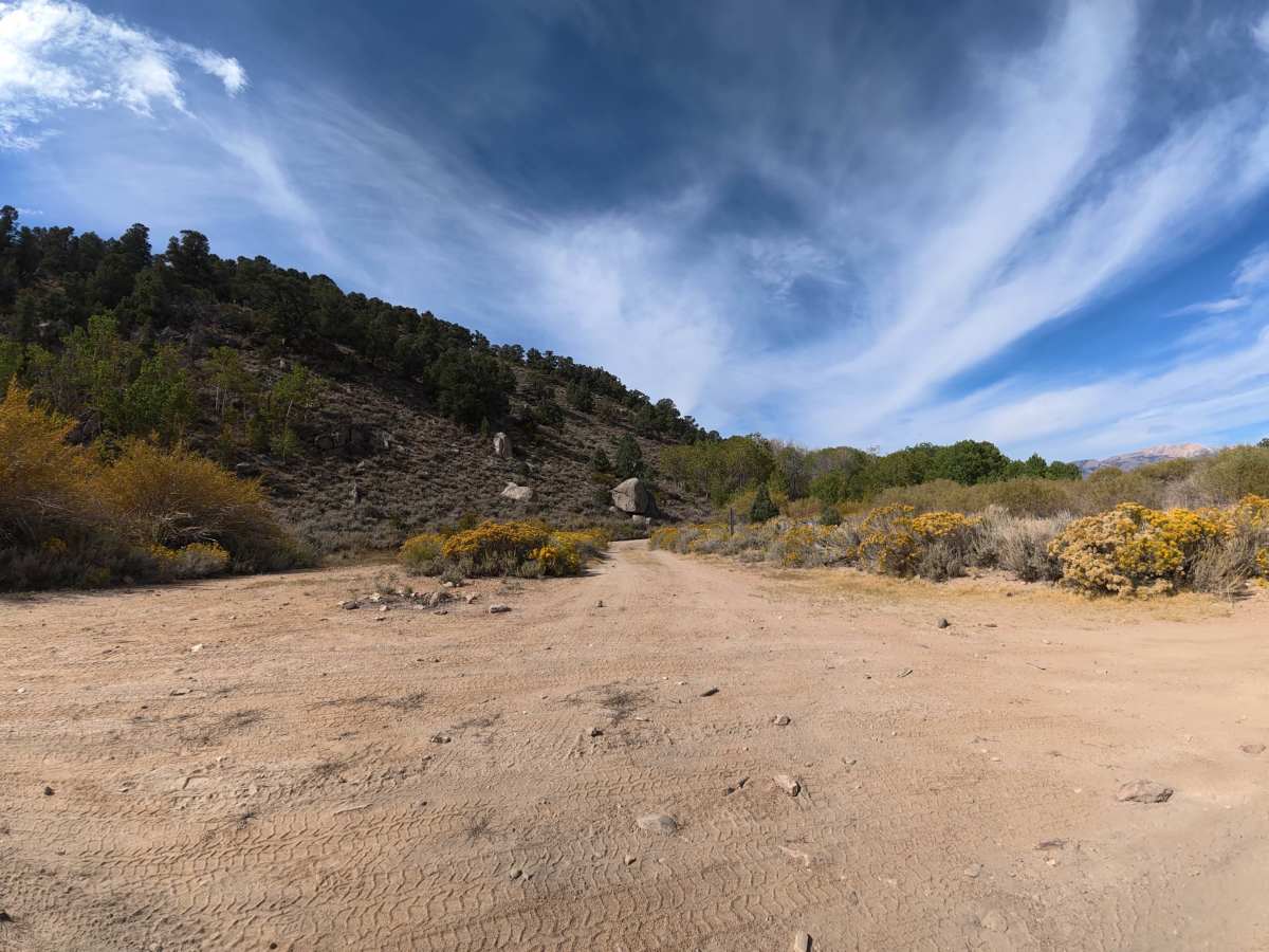
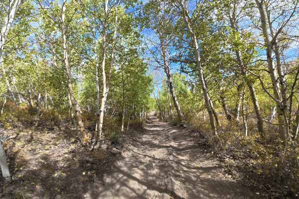
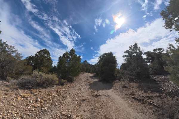
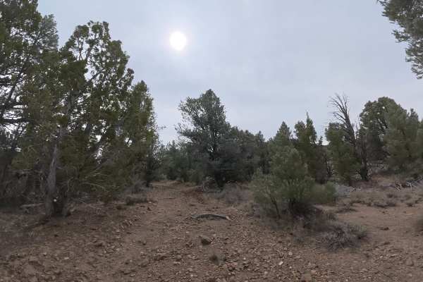
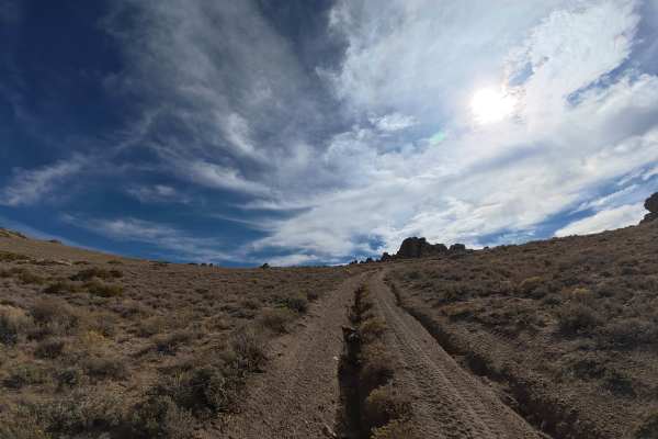
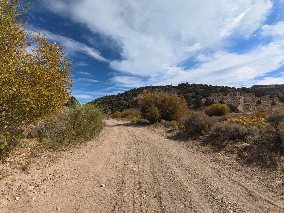
This fine-dirt trail begins wide enough for vehicles to pass and features frequent rock gardens with rocks ranging from 2–8 inches in diameter. The first section follows a public right-of-way through private property, so remain on the designated route. Around 1.1 miles, the trail becomes much narrower with heavy overgrown brush. This section has numerous private, level campsites surrounded by aspen trees, generally accommodating one vehicle each. Expect sections reaching up to 10 degrees off-camber. The route finishes at a secluded, level campsite for up to two vehicles with excellent views of the valley, rock formations, and surrounding mountains.

Photos of Masonic Gulch

Difficulty

This trail is rated Level 2 because of the 2–8 inch rock gardens, narrow overgrown sections, and terrain reaching 10 degrees off-camber. The fine dirt can become more difficult when wet.

Technical Rating

2

Masonic Gulch Trail can be accessed by the following ride types:

  • Single Track
  • 50 Inch
  • 60 Inch
  • High Clearance
  • Full Width

Masonic Gulch Map

The onX Offroad Difference

onX Offroad combines trail photos, descriptions, difficulty ratings, width restrictions, seasonality, and more in a user-friendly interface. Available on all devices, with offline access and full compatibility with CarPlay and Android Auto. Discover what you're missing today!

Open Trail Map