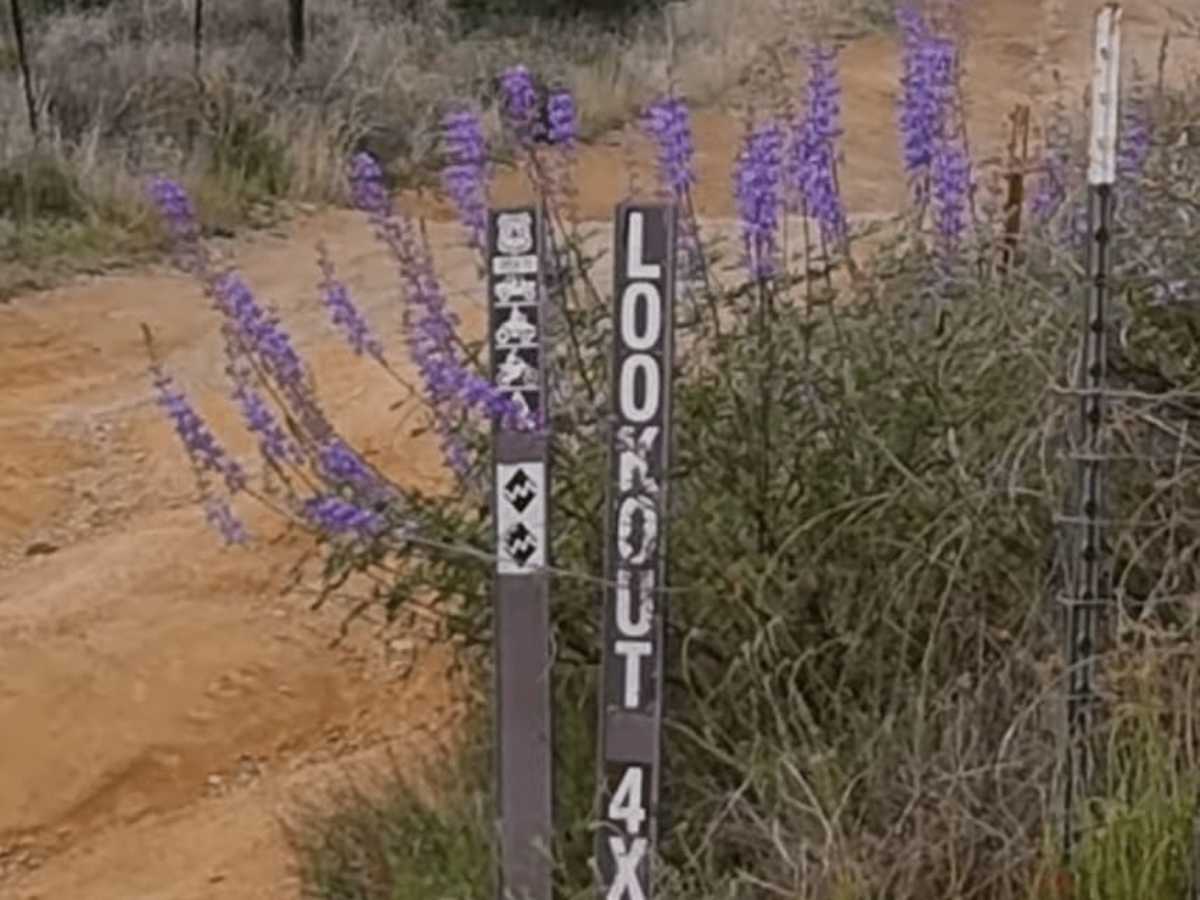
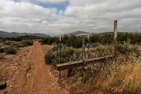
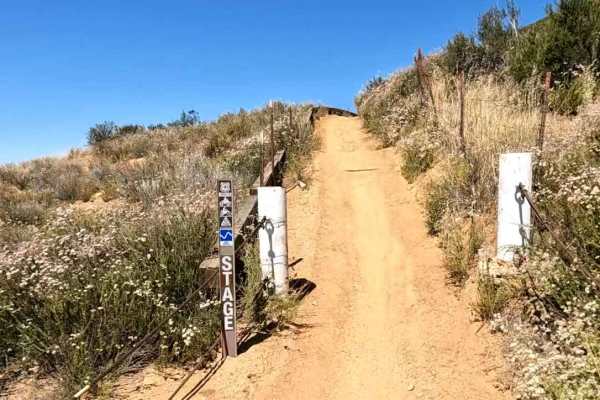
Trail Overview
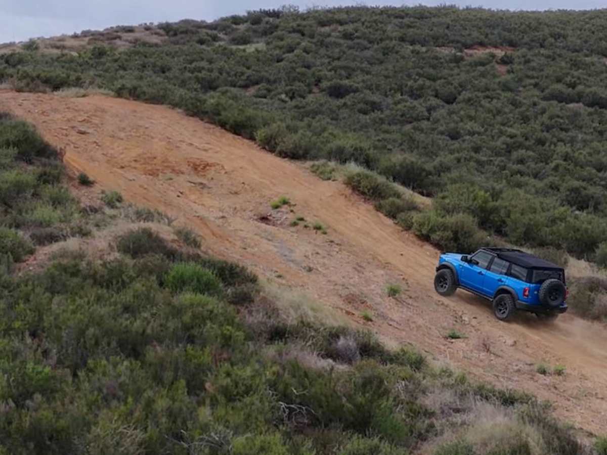
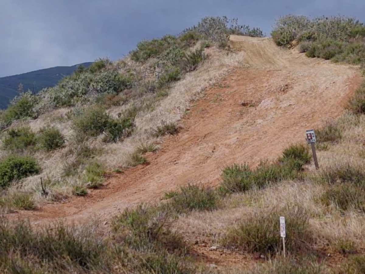
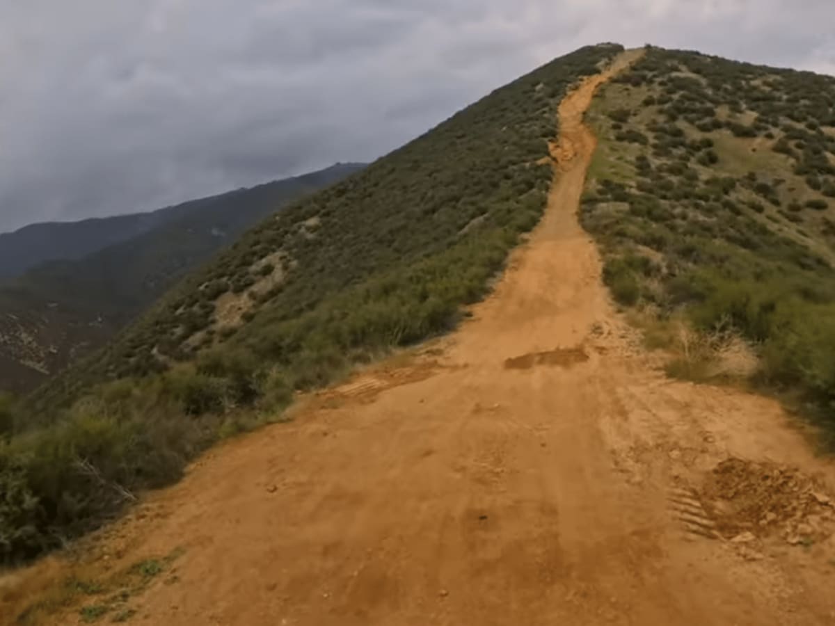
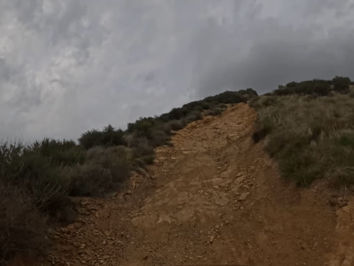
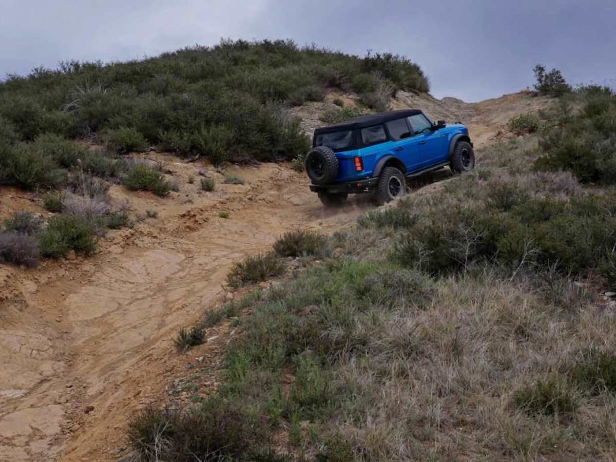
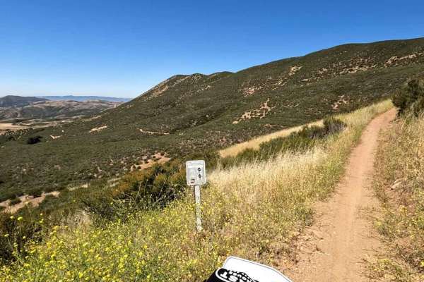
Lookout Trail (3414W34) is widely considered the most difficult trail in the Rowher OHV area, offering a short but challenging climb to one of the best vantage points in the Sierra Pelona range. Branching off the main Rowher trail network, this route quickly transitions from decomposed granite into a narrower, more technical track as it gains elevation along the ridgeline. The trail features sustained steep grades, loose rock, deep ruts, and off-camber sections that can test traction and driver confidence—especially in dry, marbly conditions or after rain. Several of the hill climbs are long and committed, with limited opportunities to turn around once you’re on them, making proper line choice and momentum key. As you near the top, the trail tightens along the ridge before reaching the historic lookout site. The summit delivers expansive views over Bouquet Canyon, the Antelope Valley, and the surrounding Angeles National Forest. It’s a great spot to regroup or take in the scenery, but getting there is the main event—this trail is a standout challenge and a must-run for those looking to tackle the hardest terrain Rowher has to offer.
Difficulty
Rated a 7 due to sustained very steep climbs, loose decomposed granite, and rutted sections that require careful line choice and throttle control. Obstacles are continuous rather than isolated, and traction can be challenging in dry or wet conditions. Best suited for high-clearance 4WD vehicles with experienced drivers.
History
The Lookout Trail leads to the historic site of the Sierra Pelona Fire Lookout, once a vital part of the Angeles National Forest’s fire detection network. Built around 1934 atop a 30-foot galvanized steel K-brace tower with a 14′ x 14′ wooden cab (USFS Region 5 BC-301 design), the lookout provided sweeping views of the Mojave Desert, Santa Clarita Valley, and surrounding peaks. Staffed by dedicated lookouts like Ethel R. Babcock (1953) and Cal Bedient (1976), the tower was known for enduring extreme wind conditions—gusts up to 100 mph were recorded, and a 1956 storm forced an emergency evacuation. Though the tower was demolished by the 1980s, visitors today can still find the concrete footings and enjoy the same panoramic views that once helped spot wildfires. The trail is popular with OHV riders and hikers alike, offering a mix of rugged terrain and rich history.