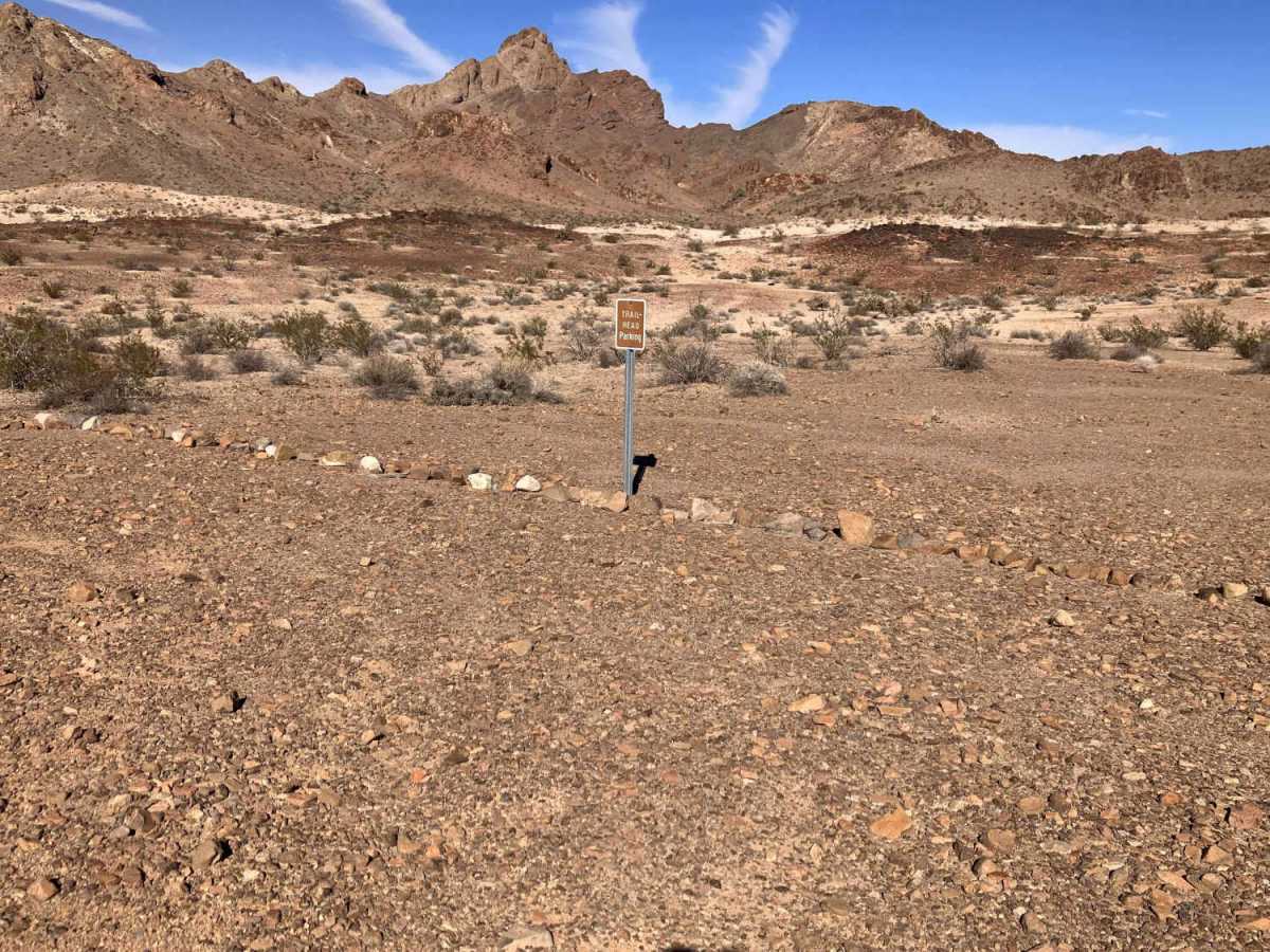
Trail Overview
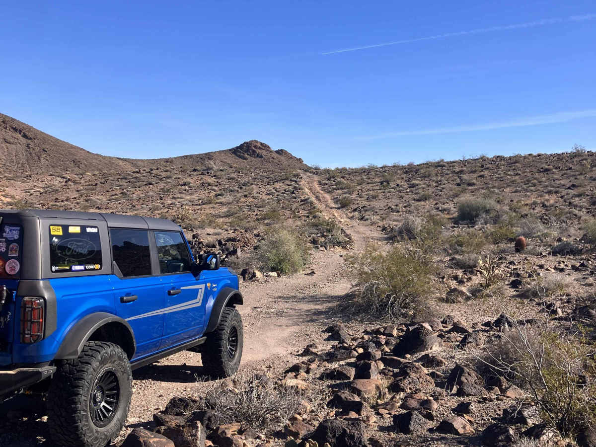
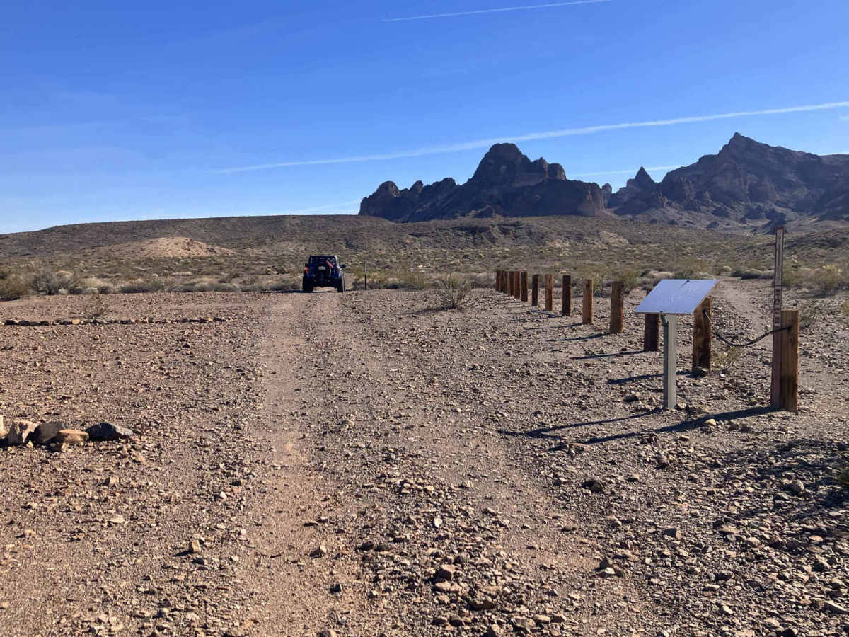
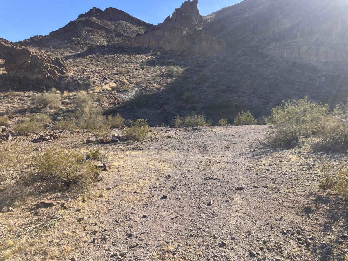
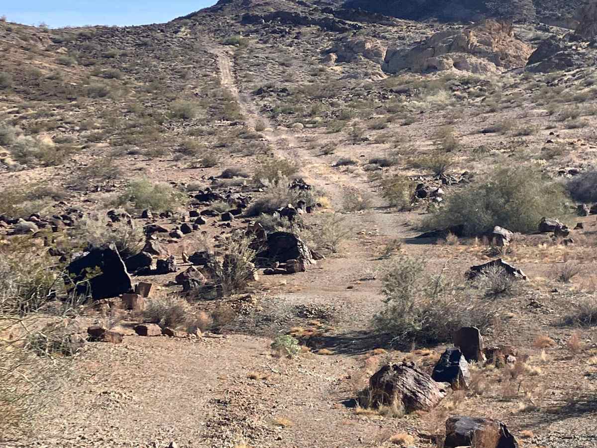
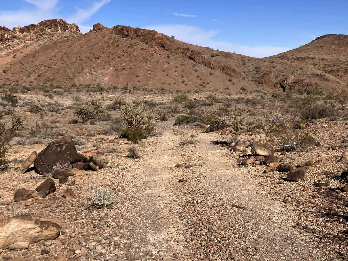
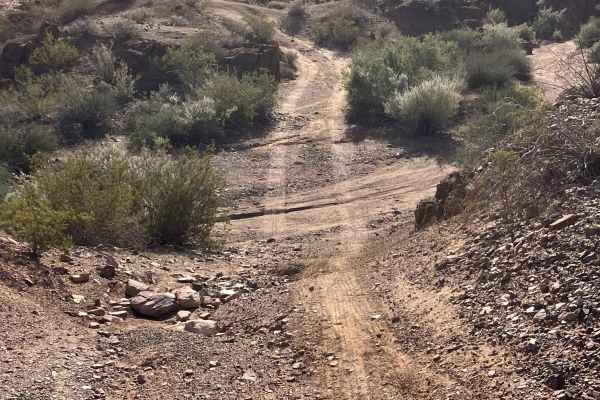
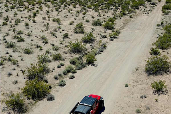
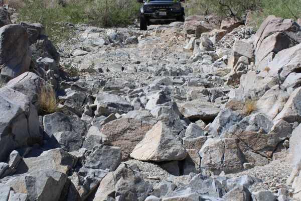
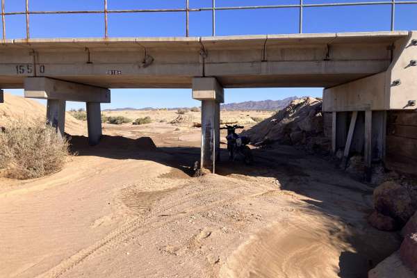
This extension of the Lisa Dawn trail is an out-and-back route that runs through the foothills of the Turtle Mountains. It begins by crossing in and out of several sand-filled washes, where the entrances and exits to each are rutted and rock-strewn hills. The middle section is primarily a two-track path over dirt, gravel, and rocks with ruts and whoops in many places. The last third of the trail is a two-track path that climbs up several hillsides consisting of loose shale, rock, and gravel with avoidable larger rock obstacles in places. The trail will eventually dead-end at the entrance to a rocky canyon where there is ample room for multiple vehicles (approximately 5 to 7) to stop for lunch, to camp overnight, or turn around easily. High-clearance and four-wheel drive are advisable, especially towards the canyon dead-end side of the trail. This route runs alongside a designated Wilderness Area, so stay on the main road and obey all posted signage restricting vehicle use on side paths. Areas to pull off the trail to allow other vehicles to pass are present in numerous locations. There is only weak cellular phone coverage in places. Also, be aware of weather conditions in the area as the trail passes through several washes that could become flooded if it rains. Tread Lightly and Pack It Out.
Difficulty
Vehicles will need to manage areas of shallow sand, deep ruts, and large rocks along this route, as well as being capable of climbing short steep hillsides with loose gravel and shale. High-clearance vehicles with 4 Wheel Drive are advisable to avoid problems.