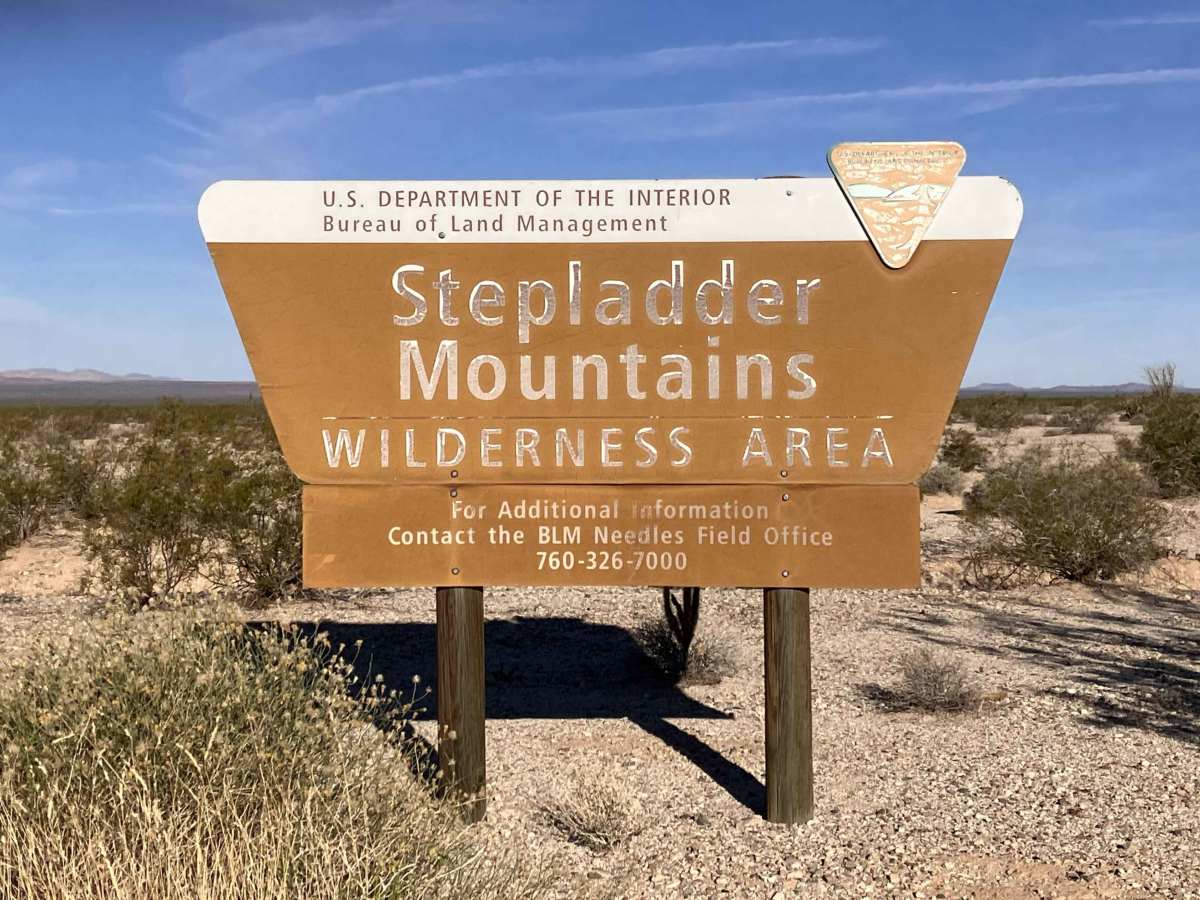
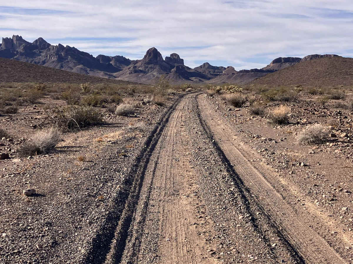
Trail Overview
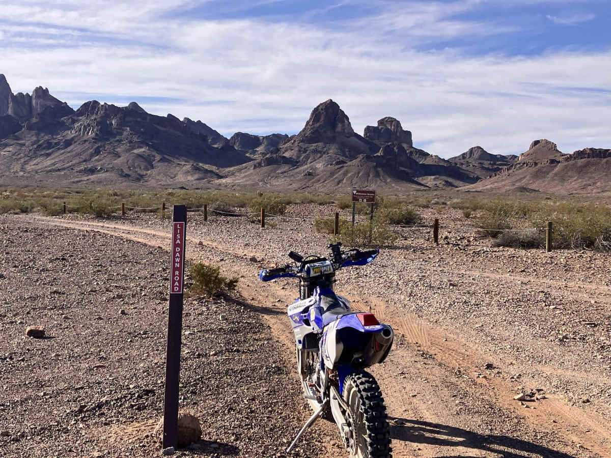
This loop trail consists of segments of the longer Lisa Dawn, Lost Arch, and Browns Camp Trails. It begins and ends along the Eastern Mojave Heritage Trail (EMHT) Segment 4 and leads to several scenic areas by the Turtle Mountains. There are designated areas along this trail where larger groups can stop for lunch or stay overnight. The terrain is generally easy to manage with vehicles that have decent clearance, but it could become more difficult and possibly dangerous in wet weather conditions. The trail runs alongside protected areas, in sections, so be aware and respectful of signage and wire fence barriers. There is decent cellular phone coverage in this area. Tread Lightly and Pack it Out.
Difficulty
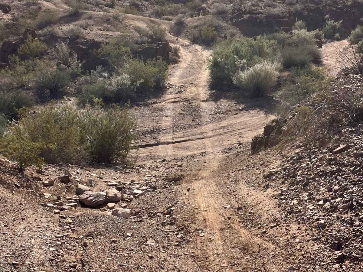
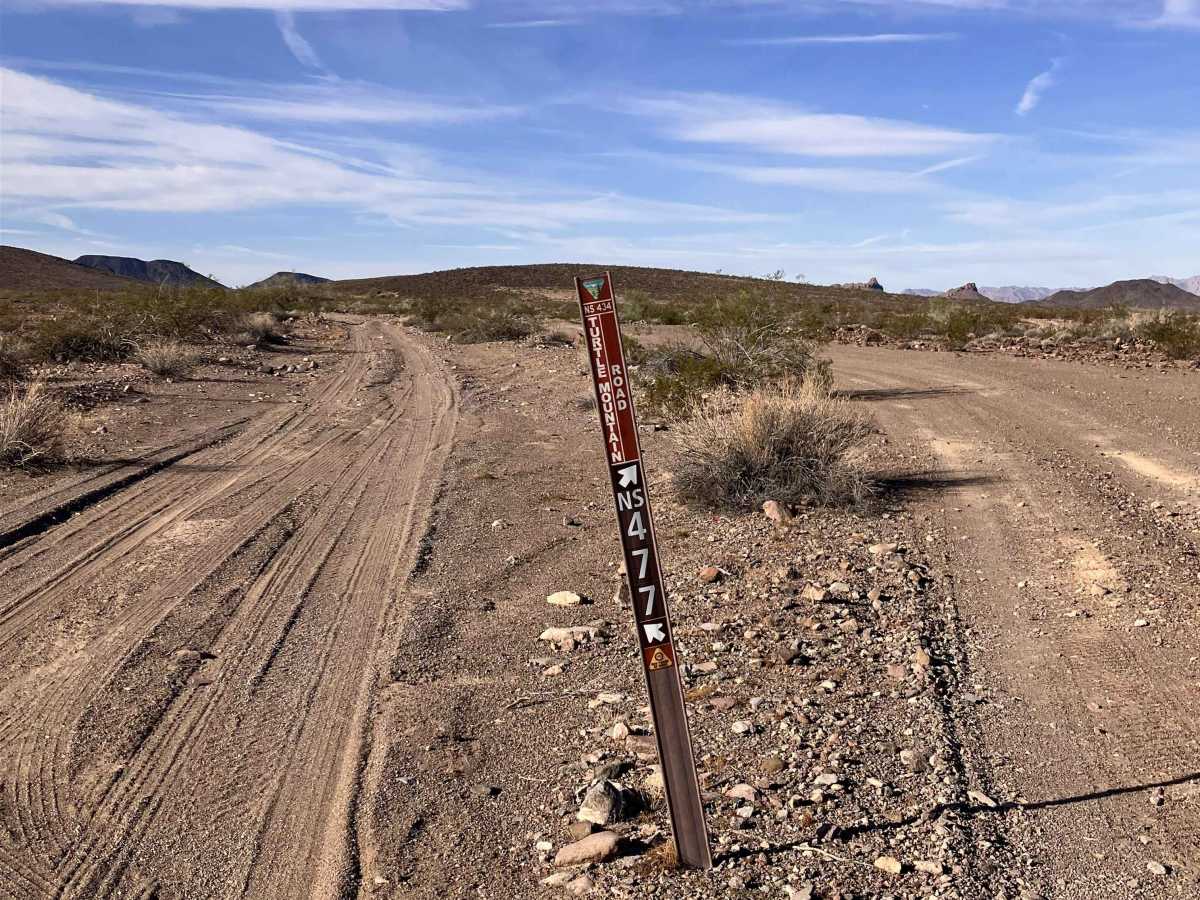
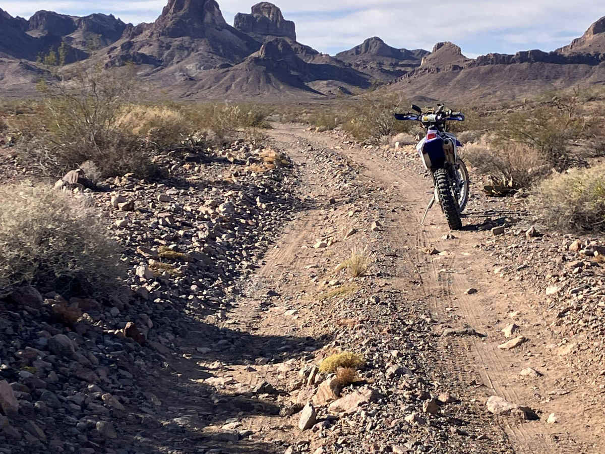
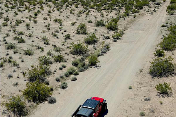
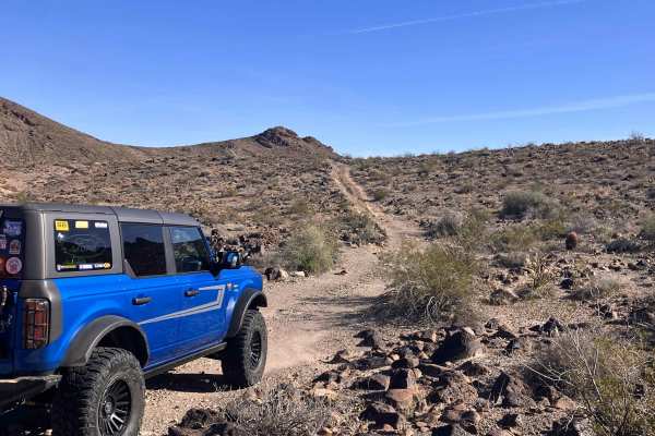
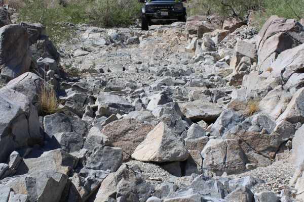
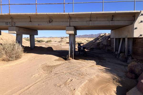
The route changes from packed sandy soil to gravel and rock-strewn two-track trail with up to 12-inch rocks and short ledges in some places. This loop trail also crosses a few washes, so be alert to weather changes and rain in the vicinity. There are frequent trail forks and wider areas to pull out and allow passing. Major forks in the trail are well marked with signage.
History
This area was once an active mining area and has since been adopted by local groups that maintain the trail.