Trail Overview
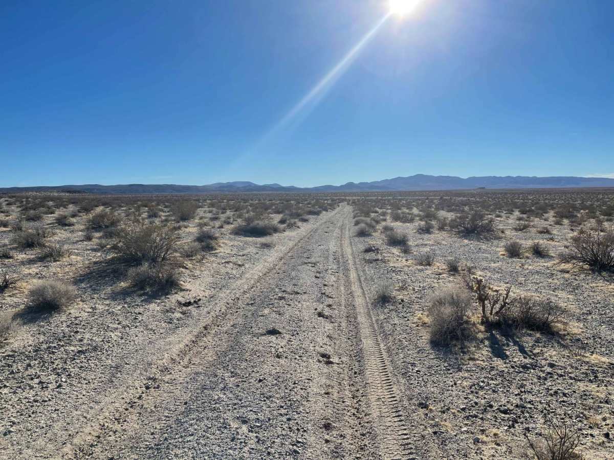
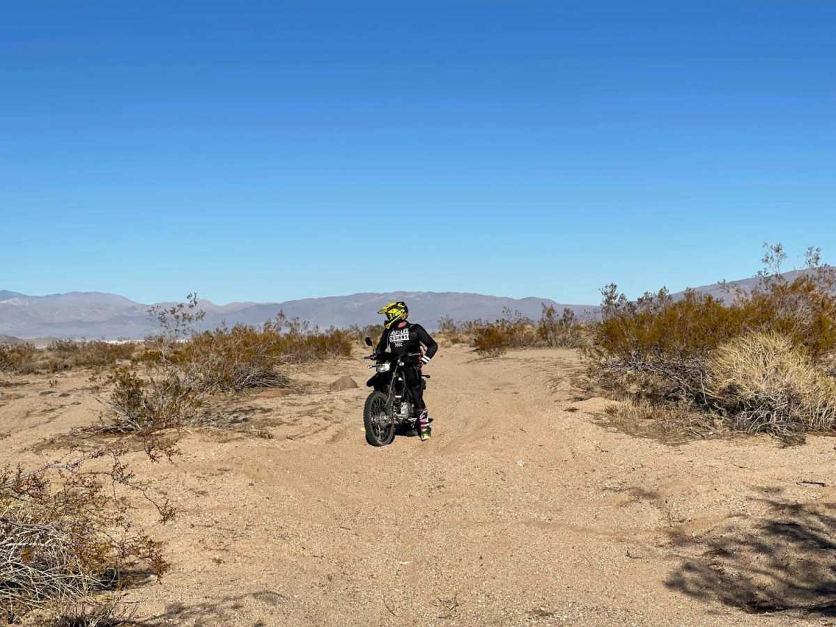
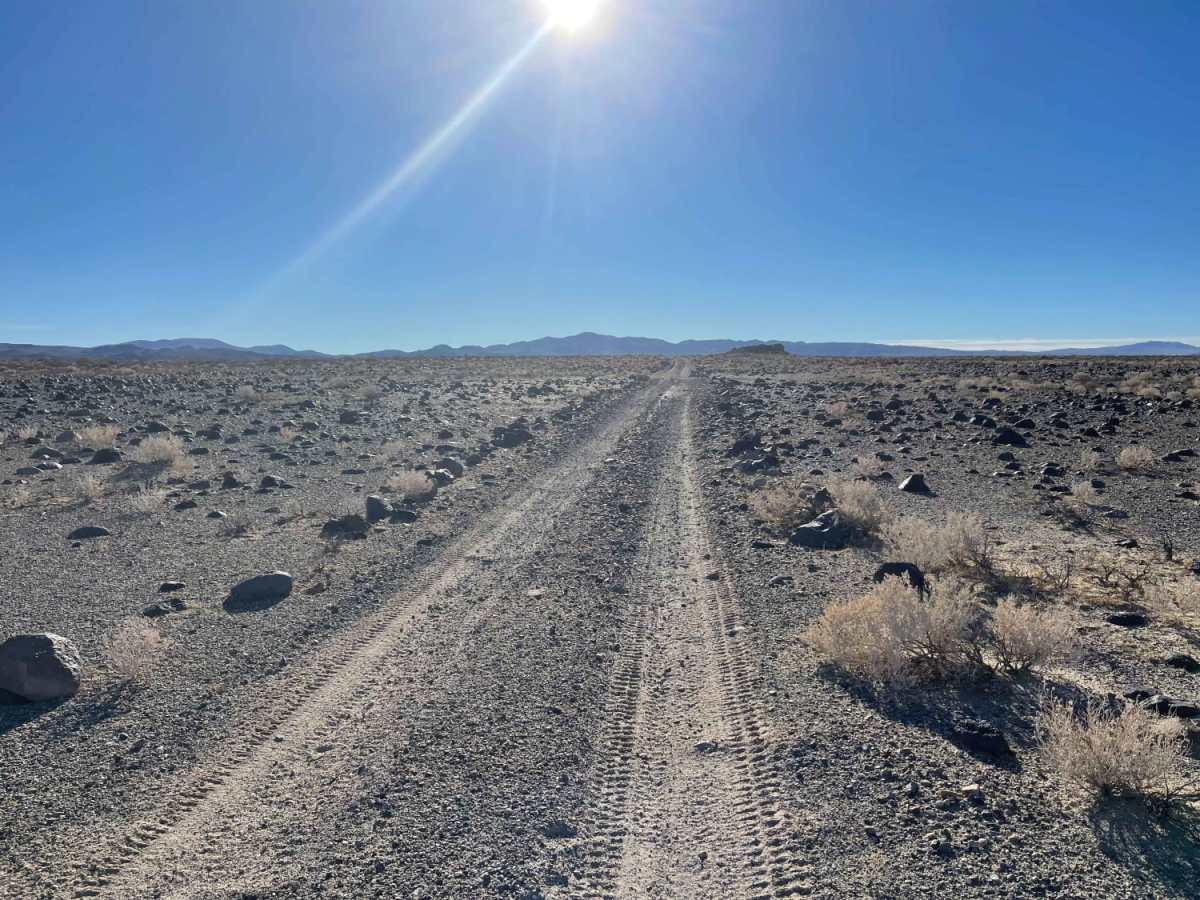
Leg Day is a challenging 10.9-mile point-to-point offroad trail in the Spangler Hills OHV Area designed for riders and drivers seeking a heavy suspension workout through deep sand and endless whoops. Spanning an elevation range from 1,978 feet to 2,529 feet, this route serves as a demanding entrance to the OHV area while bordering the Golden Valley Wilderness to the west and naval base property to the east. High-clearance four-wheel-drive vehicles, SxSs, and dirt bikes with excellent suspension travel are highly recommended to navigate the intense, repeating whoop sections and transition zones. The western portion of the trail features the deepest, most relentless sandy whoops, which gives the trail its namesake, demanding constant driver focus and vehicle stamina.
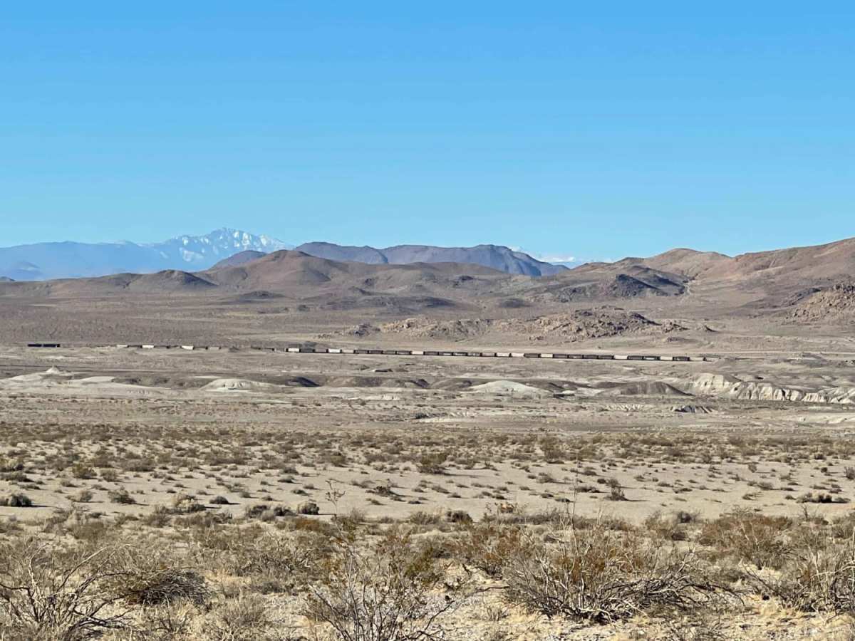
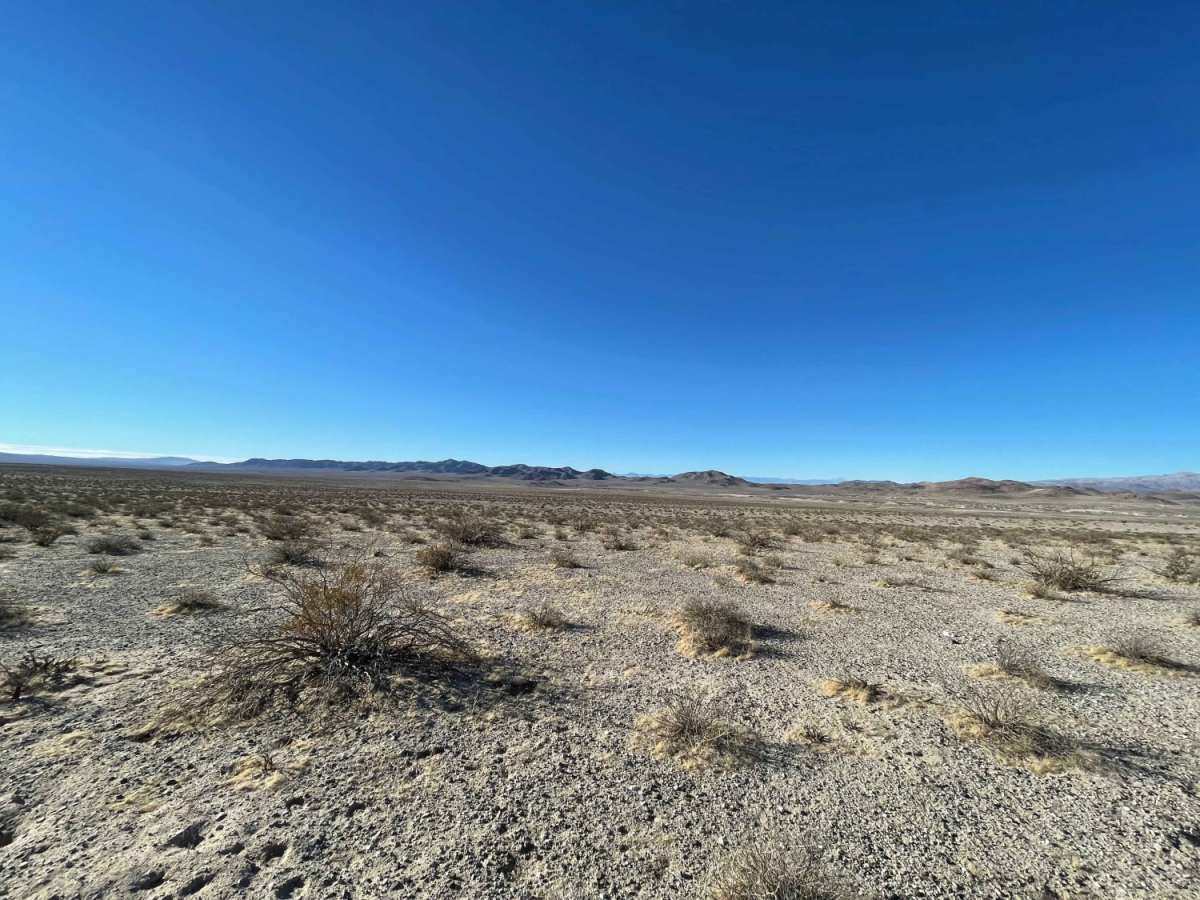
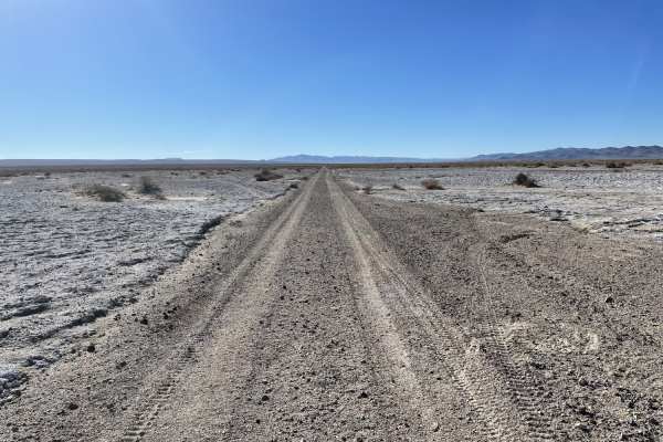
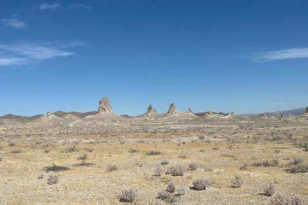
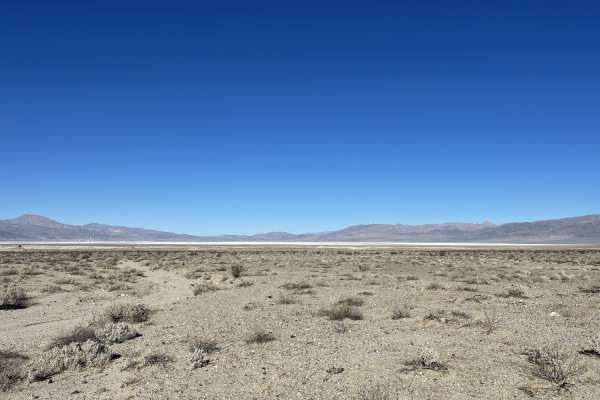
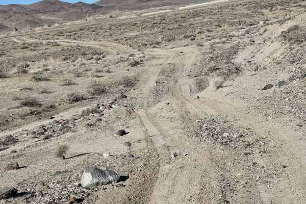
As the trail progresses, the terrain transitions into a mix of loose sand, gravel washes, and occasional rocky segments where sharp stones present a risk of tire sidewall damage. The elevation gain totals roughly 697 feet, offering sweeping desert vistas across the valley with the stark peaks of the surrounding wilderness as a backdrop. Offroaders should prepare for self-recovery, as cell service is extremely limited to a single bar of LTE along most of the route, and the arid desert climate makes carrying extra water and supplies essential. This trail connects seamlessly with the broader Spangler Hills trail network, making it a rugged but rewarding option for those looking to test their vehicle's dampening capabilities.
Access Description
The trail is located within the Spangler Hills Off-Highway Vehicle (OHV) Area managed by the Bureau of Land Management (BLM). All vehicles must have a current California green or red sticker registration, or a valid out-of-state OHV permit. Safety whip flags are highly recommended due to high-speed recreation and blind crests. The route directly borders the Golden Valley Wilderness to the west and the China Lake Naval Air Weapons Station to the east; vehicles must remain on designated trails to avoid trespassing on restricted military or wilderness lands.