Trail Overview
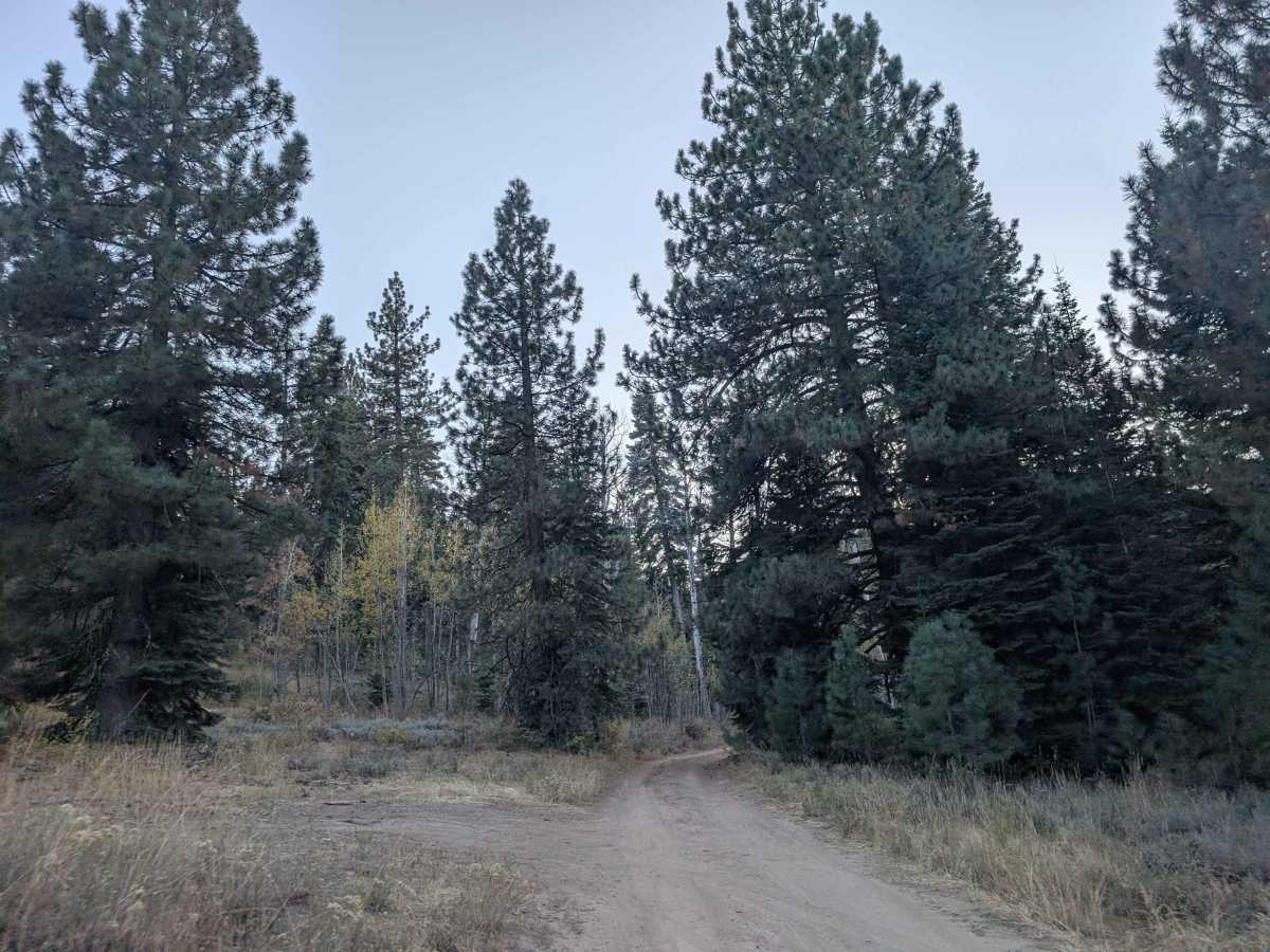
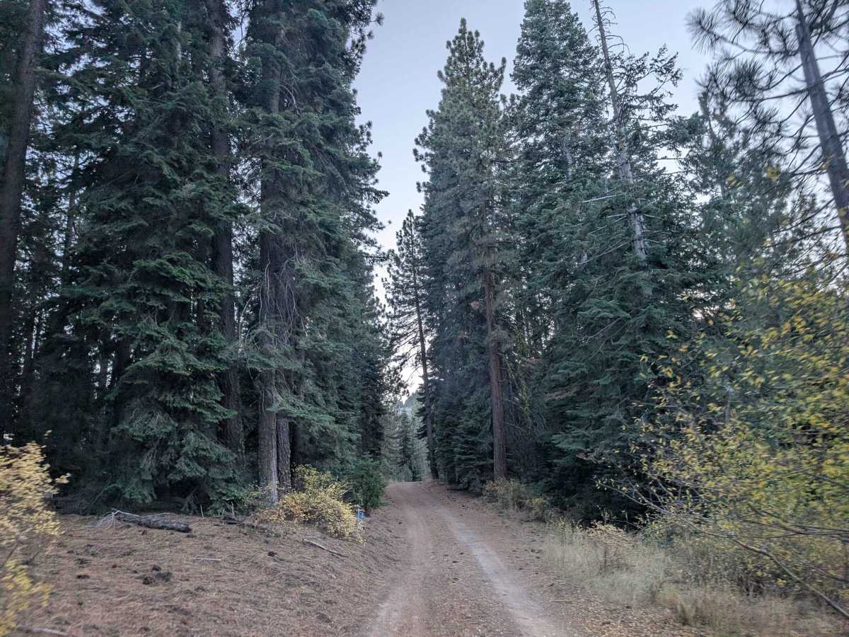
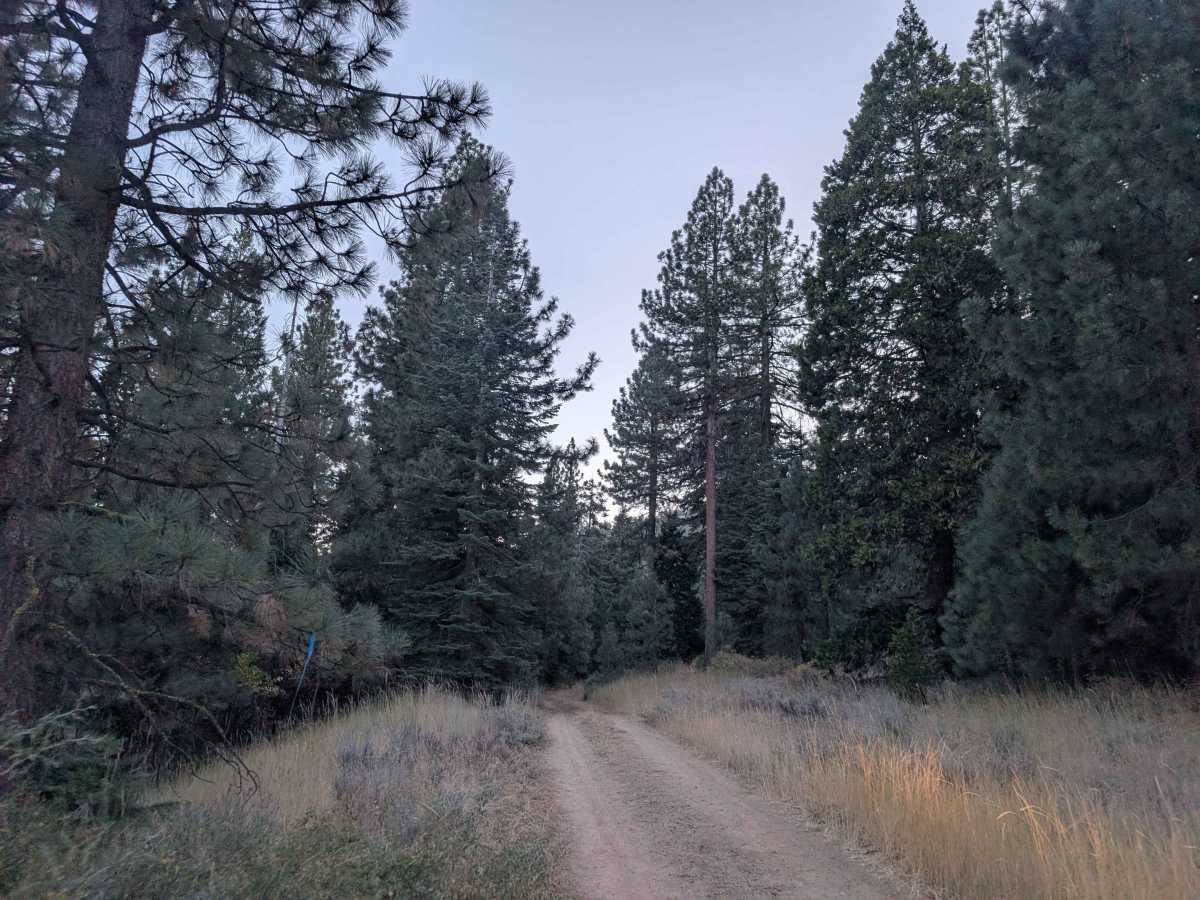
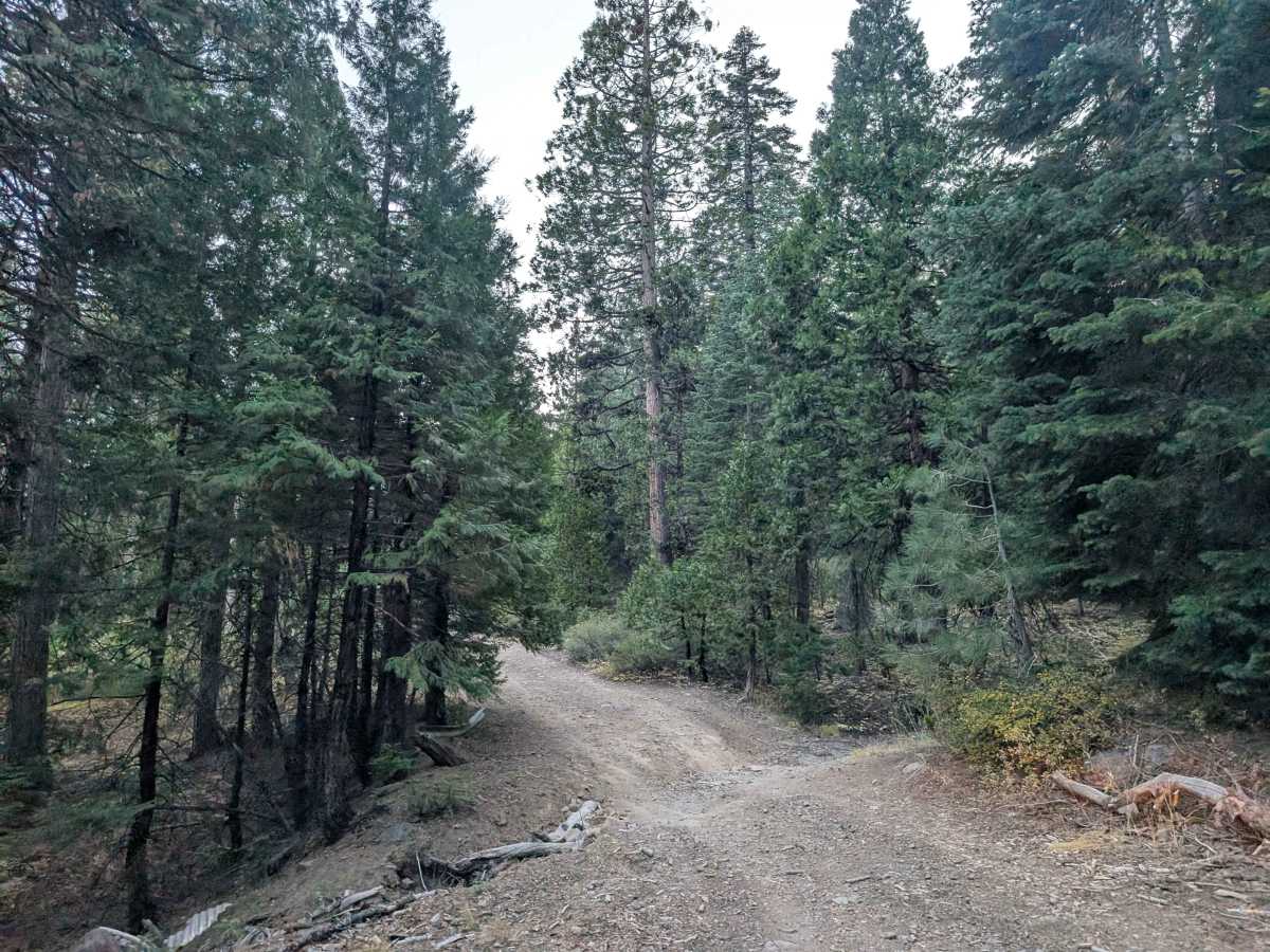
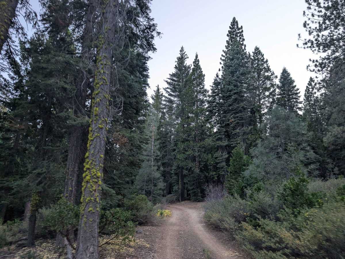
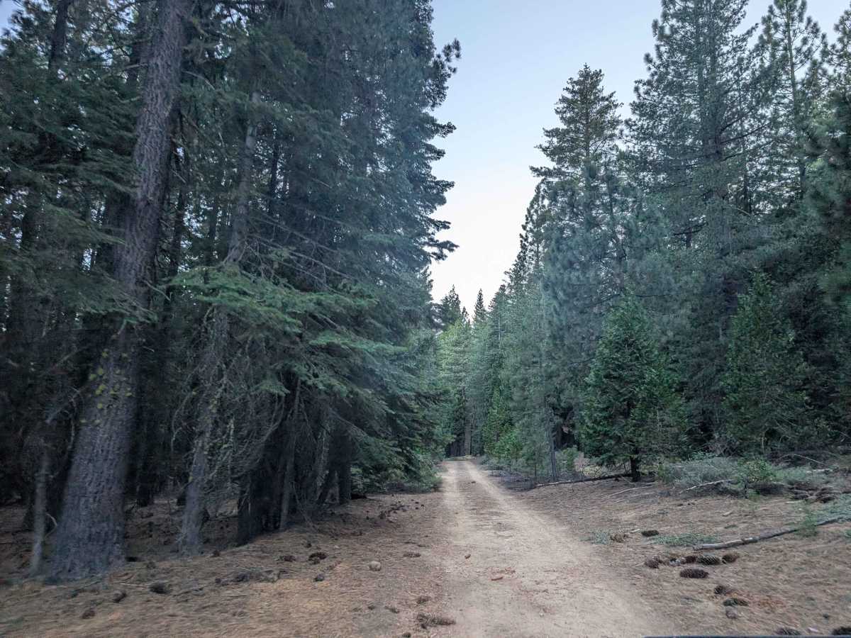
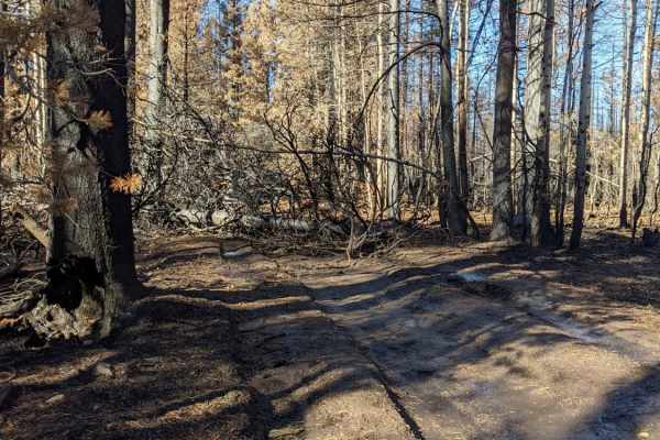
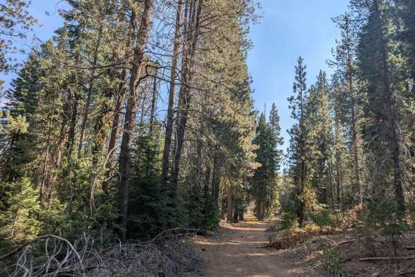
This pleasant forest trail connects two main roads, winding through healthy woodland along a mostly smooth gravel surface. The route varies in width, with some narrow sections and wider stretches as it passes through the trees. Several connecting trails branch off the main route, making it a useful link within the surrounding trail network, with Willow Creek serving as one of the area’s main feeder routes. Near the Happy Valley end, the trail passes a large open meadow that offers a change of scenery from the forest. Many fallen trees have been cleared from the road, but branches and limbs still jut into the route, so watch for potential vehicle damage. The route also has occasional rocks, steep drop-offs, switchbacks, and short ascents and descents that require attention. ATVs, UTVs, Side-by-Sides, and Dirt Bikes must always have a valid California ATV Operating Permit sticker.
Difficulty
The trail is generally easy to drive, with occasional rocks, narrow sections, switchbacks, and steep drop-offs requiring attention.