Trail Overview
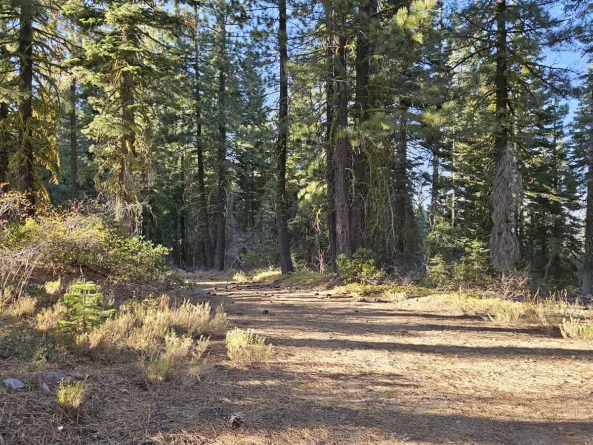
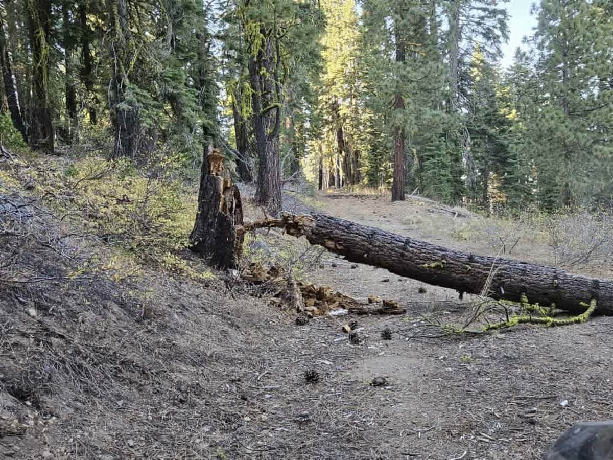
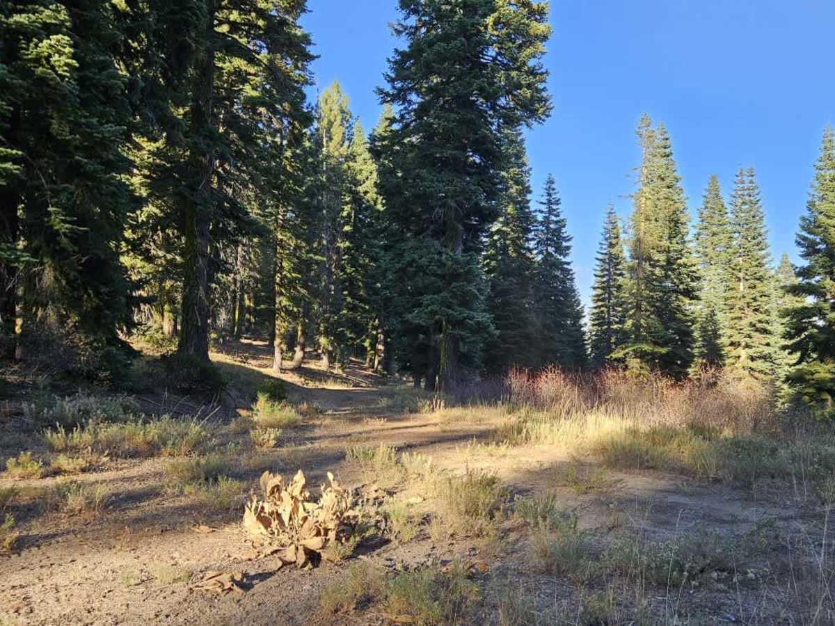
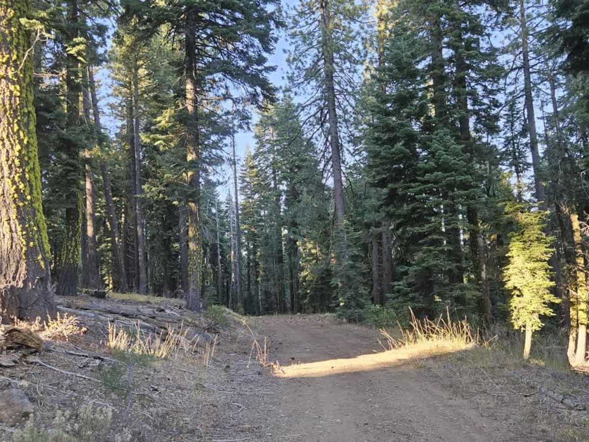
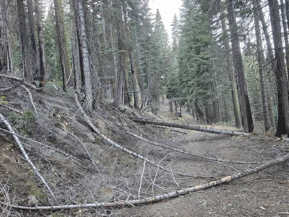
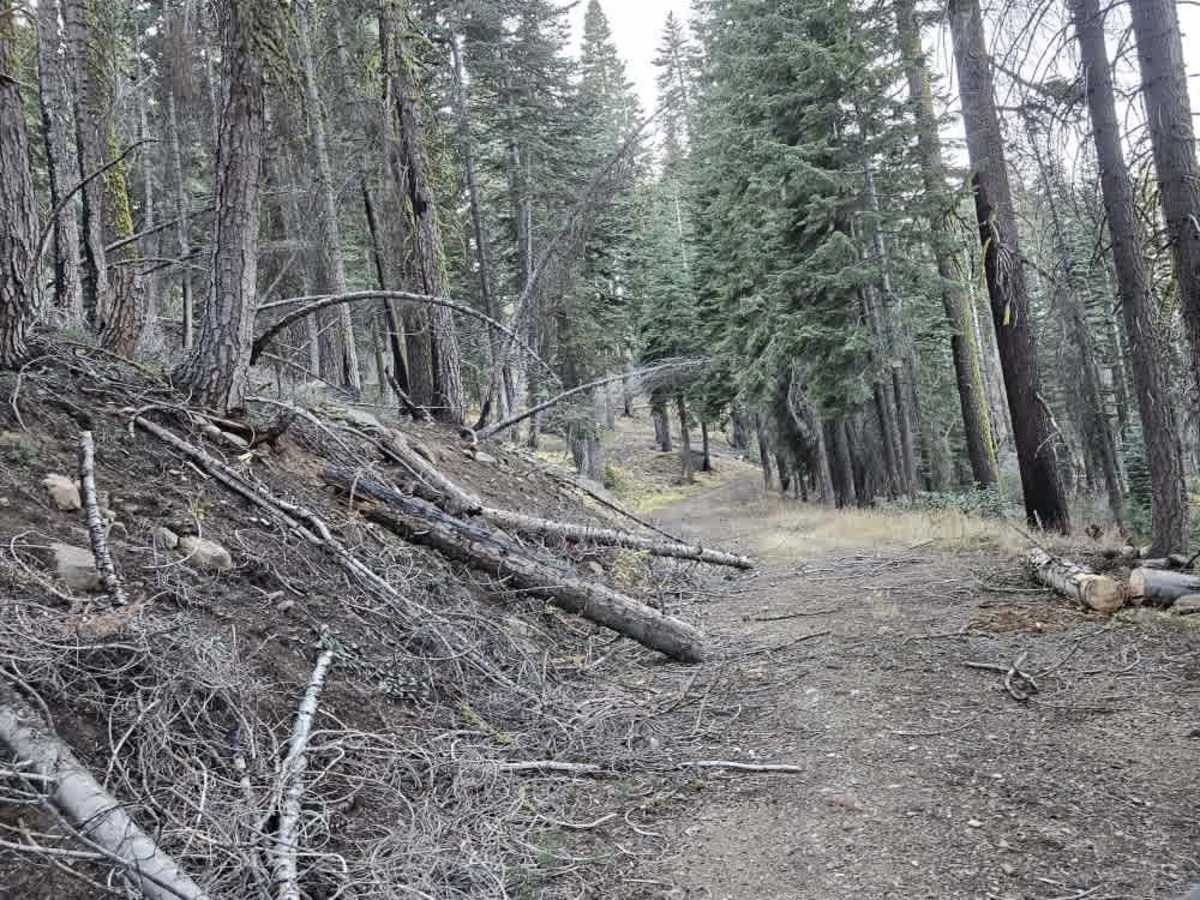
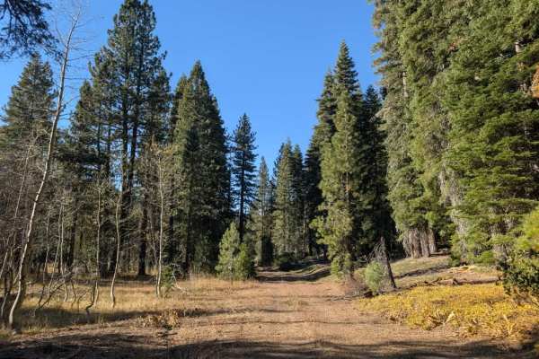
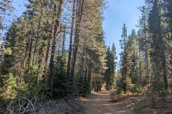
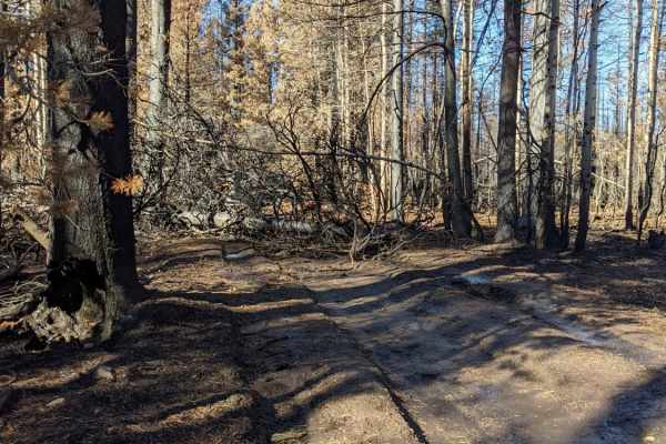
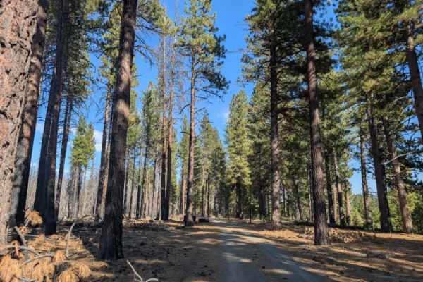
This once-beautiful trail winds along a forested ridgeline, connects two other routes, and offers a useful shortcut through the area. Much of the surface is relatively smooth, and the surrounding forest is lovely, with a few level areas that may be suitable for parking. However, the trail has steep drop-offs in places, so take care along the ridge. The first half of the trail has several fallen trees, and conditions deteriorate significantly farther along, with increasing amounts of rotting timber, downed trees, and overgrown bushes. Near the far end, the trail becomes heavily overgrown, with a large fallen tree blocking further travel close to the exit connection. Although the route is still beautiful and offers a useful link between trails, it needs considerable clearing to restore access and preserve this connection. ATVs, UTVs, Side-by-Sides, and Dirt Bikes must always have a valid California ATV Operating Permit sticker.