Trail Overview
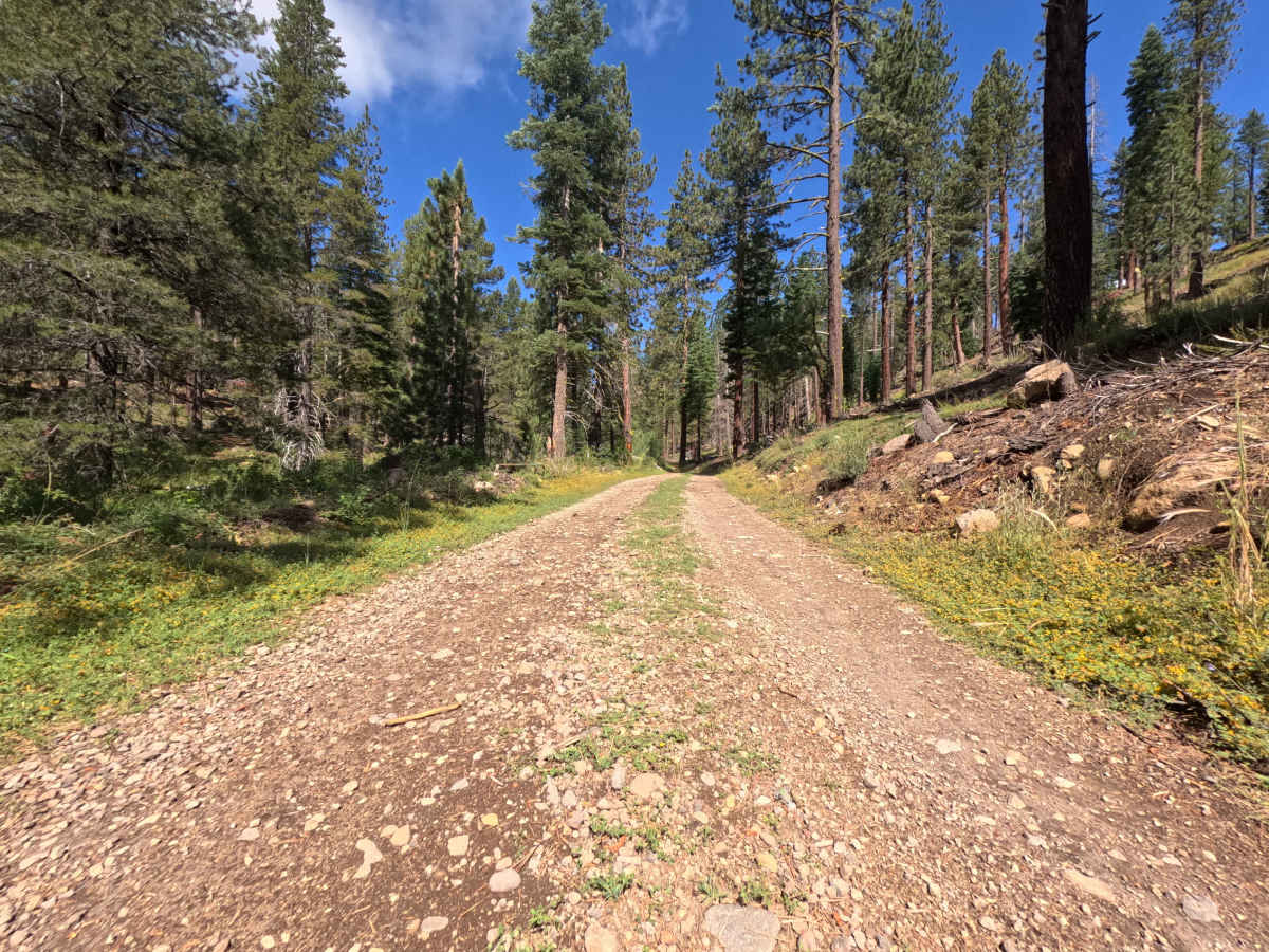
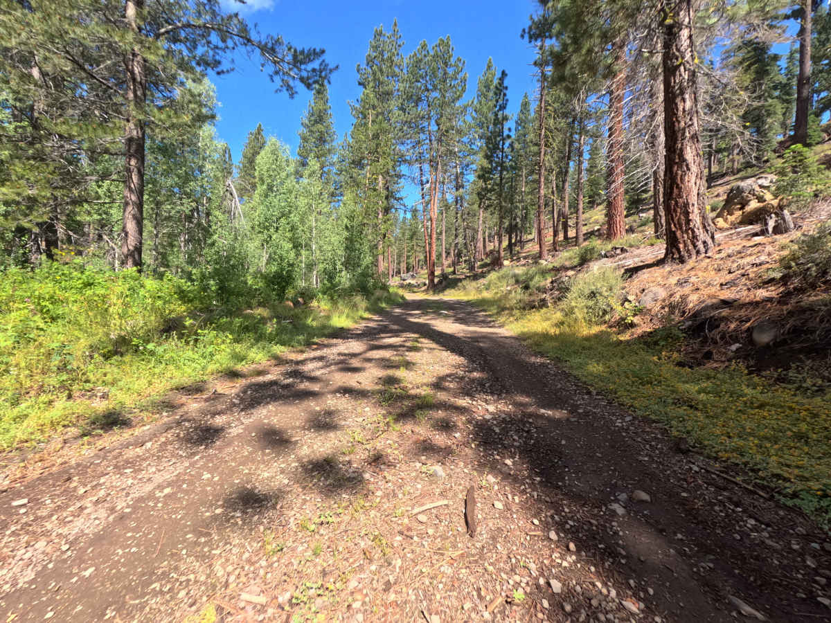
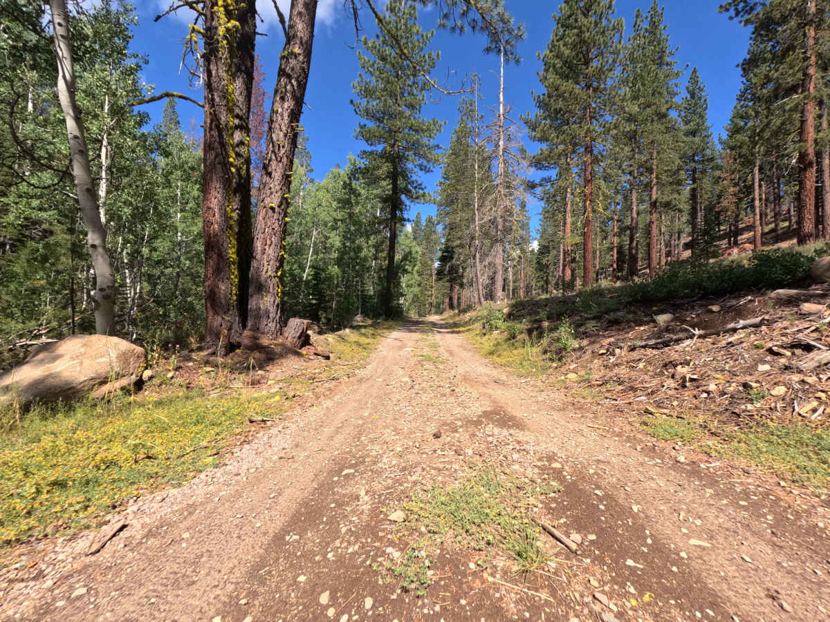
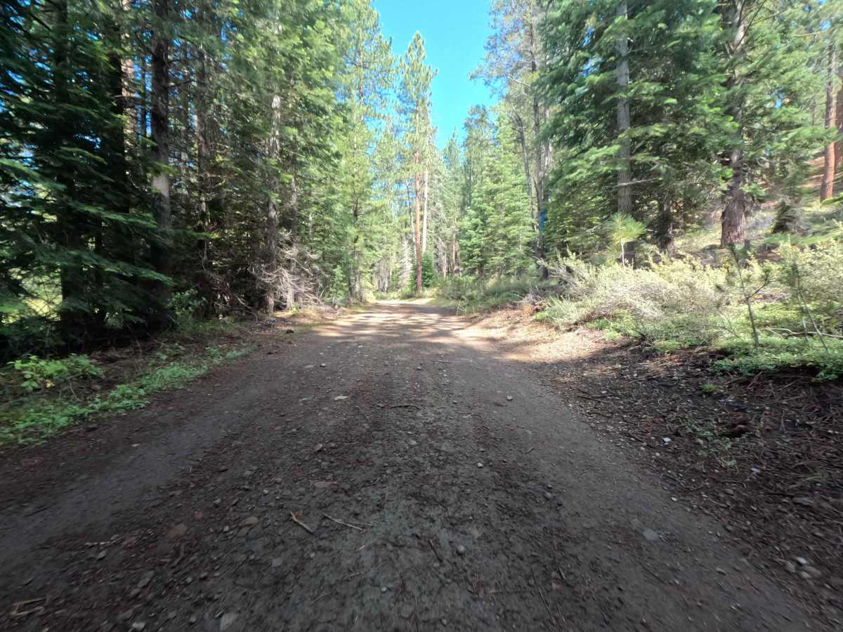
The overall environment of the Jackass Point Spur offers a beautiful, immersive climb deeper into a dense, shade-dappled pine forest. Starting right at the junction where the main Jackass Point road is closed, this scenic route immediately begins winding its way higher up the mountain. It serves as an excellent, quiet access point for several outdoor connections, leading directly to the Donkeytown, Captain Caveman, and Yogi Bear mountain biking trails located just below the point itself. As you travel further up the route, the towering trees and lush green vegetation begin to close in tightly around the track, providing a wonderful sense of backcountry isolation. The road ultimately concludes at a terminus that puts you right on the doorstep of the Jackass Point Loop trail, which requires only a very short, quarter-mile hike or pedal to reach and enjoy.
Difficulty
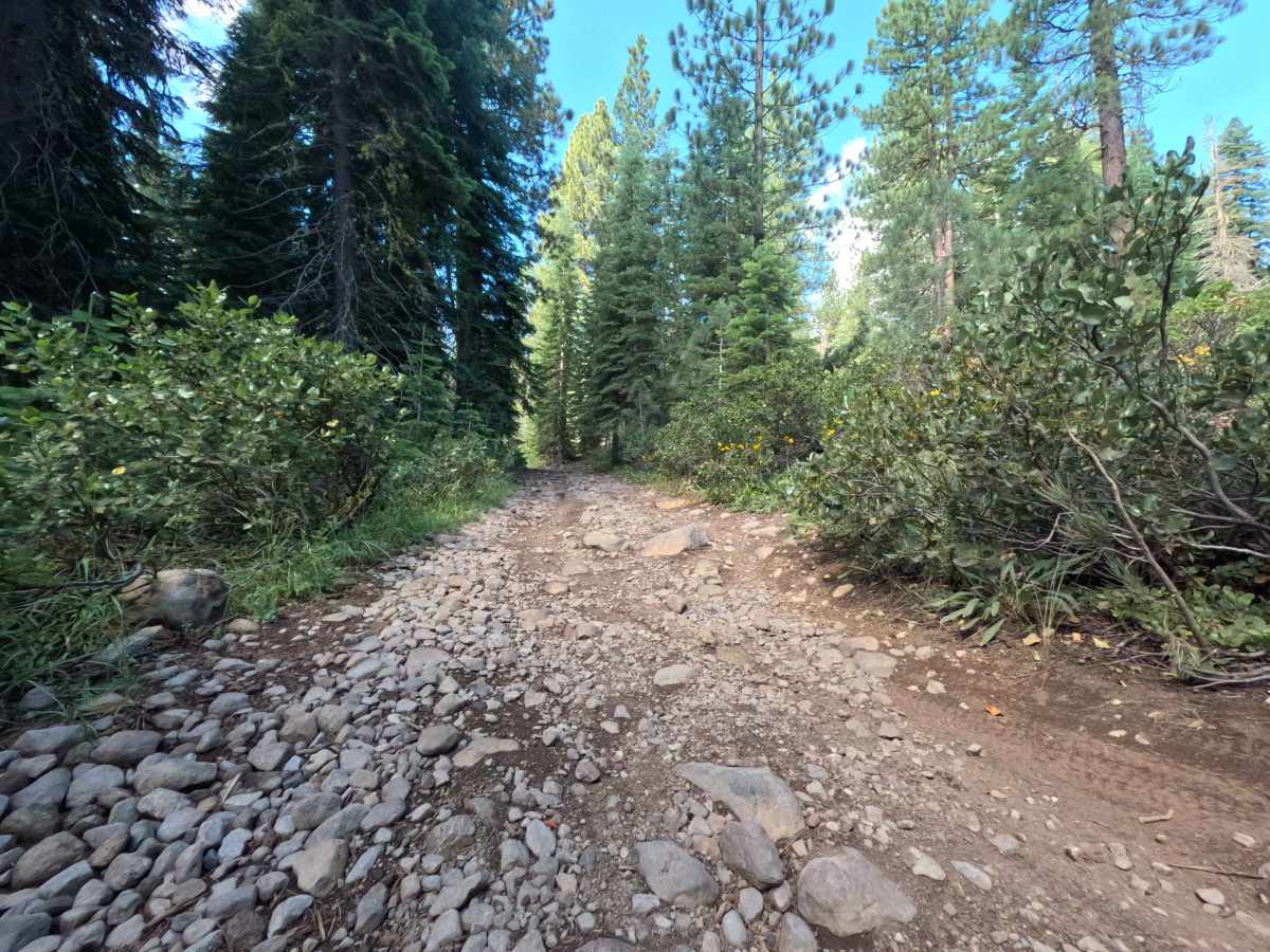
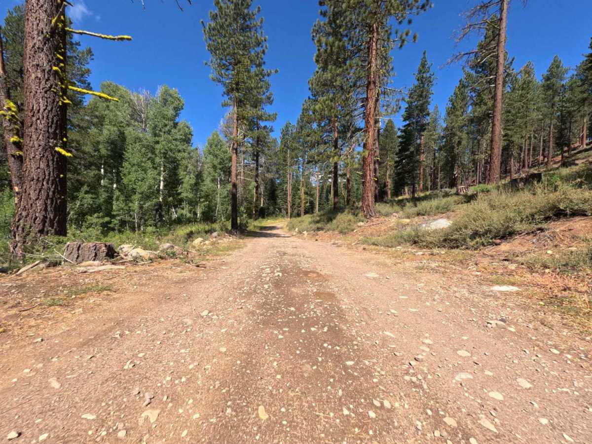
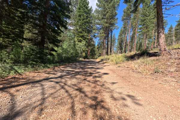
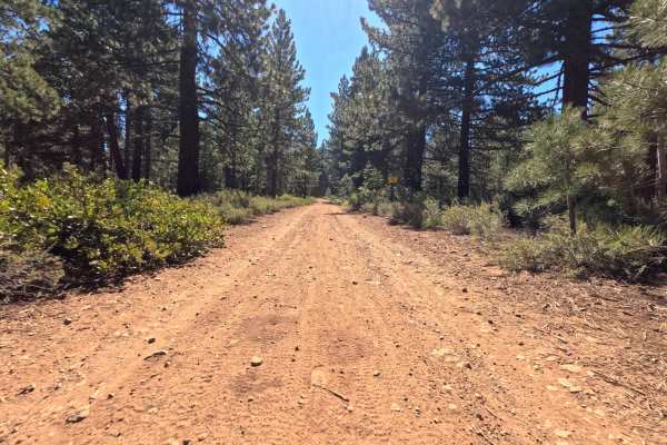
The trail surface initially consists of packed dirt but quickly transitions into rougher patches of loose cobble and notably large embedded rocks. While the lower sections are relatively smooth, the rocky obstacles become much more prominent as you ascend, featuring substantial, uneven stones protruding directly from the roadbed. Additionally, the higher elevations of the track narrow significantly as overgrown leafy bushes and young pine branches encroach closely on the path. To navigate this safely, maintain a slow, steady crawl to carefully pick your lines over the tallest jagged rocks, and be fully prepared for some light brush rubbing and potential pinstriping along the sides of your doors.

 Offroad