Trail Overview
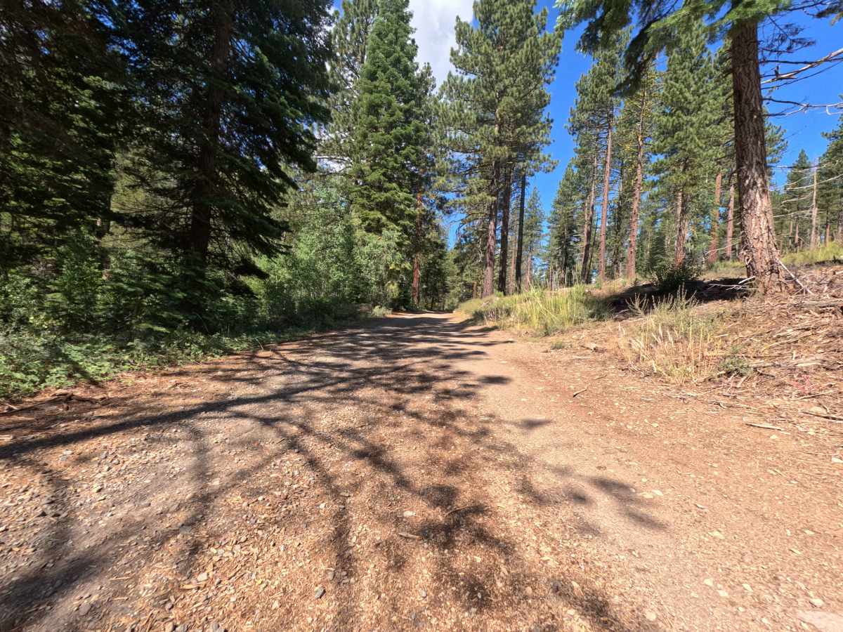
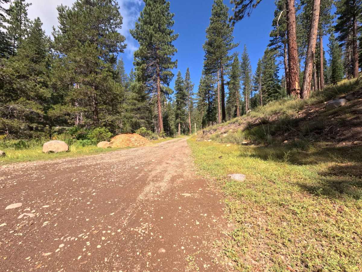
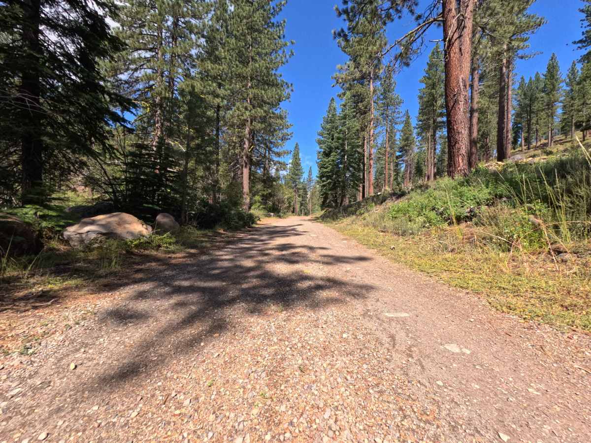
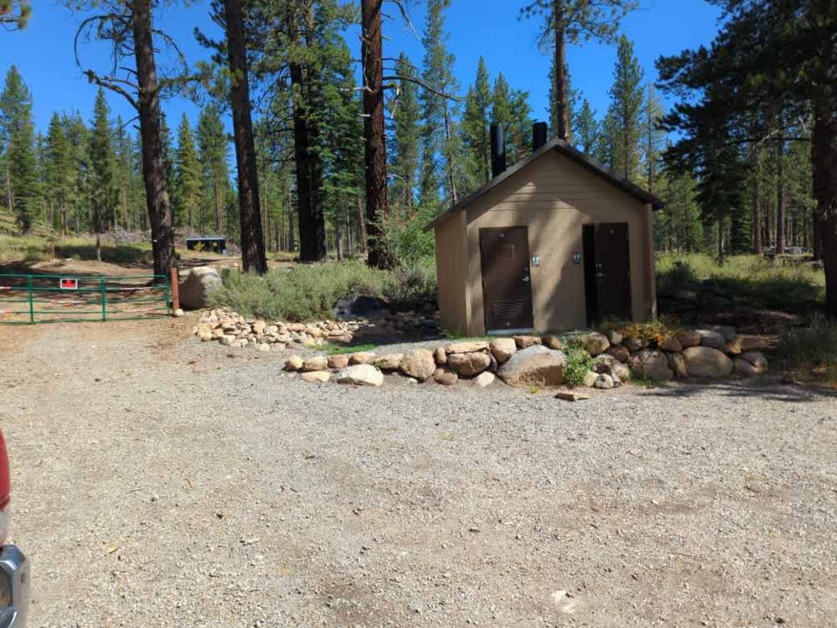
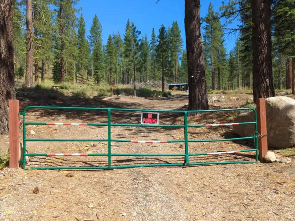
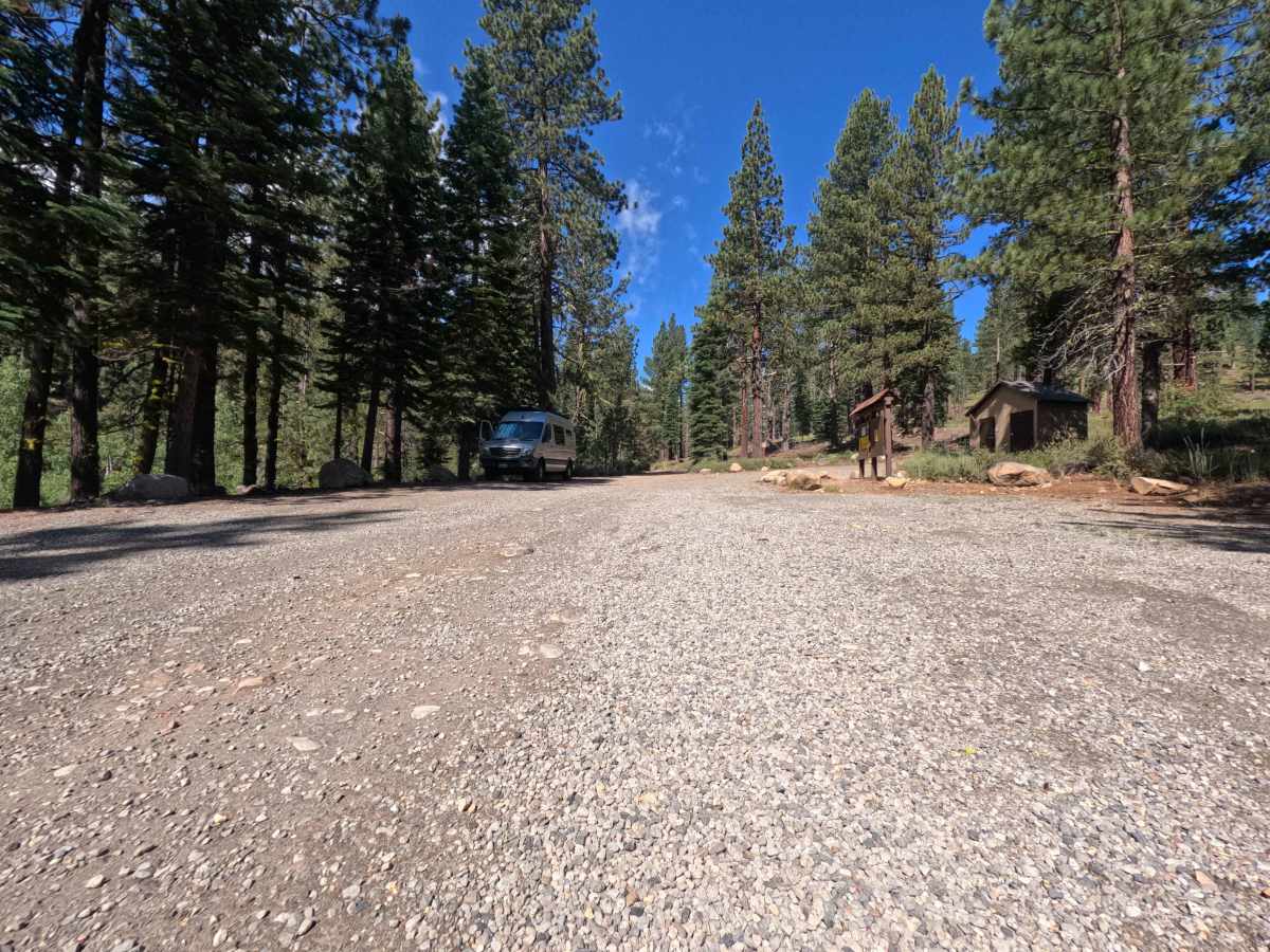
Starting right off the junction of Highway 89 and heading west, this route immediately plunges you into a beautiful, shaded woodland setting. The overall environment of Jackass Point is a classic, towering pine forest that serves as a highly popular, scenic gateway to several fantastic outdoor recreation areas. For the first half-mile, the drive is quite wide and inviting, leading directly to a spacious, well-maintained gravel parking area equipped with a convenient pit toilet. This spot is the primary trailhead for the beloved Donkey Town and El Burro mountain biking trails. While the main road continues slightly further, please note that the remainder of Jackass Point Road is currently closed to public use through 2027 to allow for important wildfire risk reduction work, which is evident by the large brush piles visible beyond the barricade. However, just beyond the trailhead and before the road closure, visitors can choose to branch off onto the Jackass Point Spur, which climbs higher into the lush forest to access even more mountain bike trail connections like Captain Caveman and Yogi Bear.
Difficulty
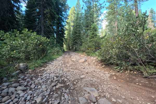
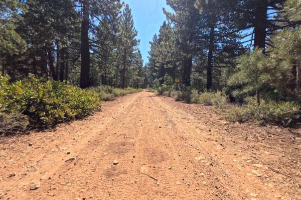
Earning a mild Grade 2 difficulty rating, the trail surface begins as a wide, well-maintained gravel road that eventually transitions into packed dirt scattered with small, embedded rocks. The initial stretch toward the parking lot is mostly smooth and easily manageable, but as you progress, you will need to navigate over some uneven, rocky patches, small exposed roots, and a few minor, shallow dips in the road. To keep your undercarriage safe, simply maintain a slow, steady momentum and carefully steer around the more prominent embedded stones. The wide, generous path allows for plenty of room to pick a comfortable, smooth line.