Trail Overview
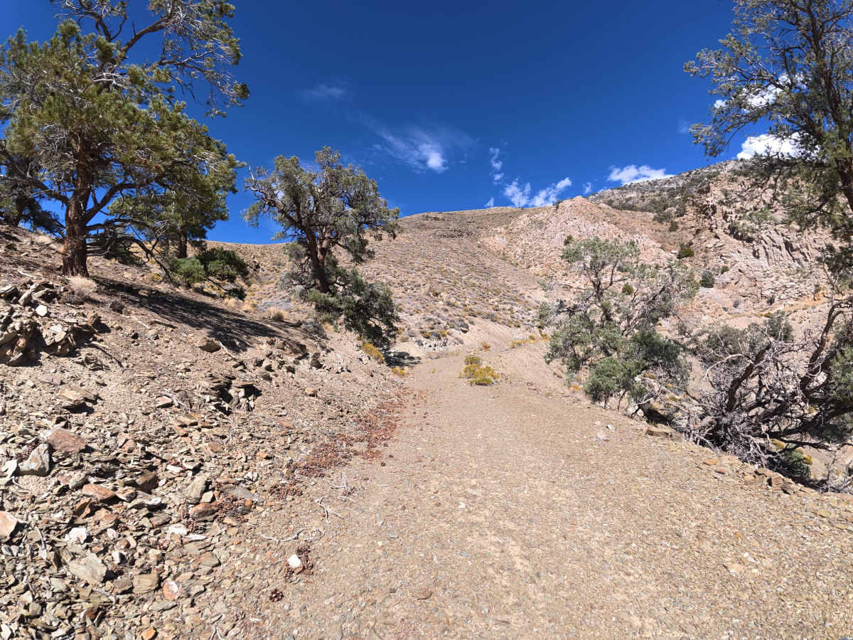
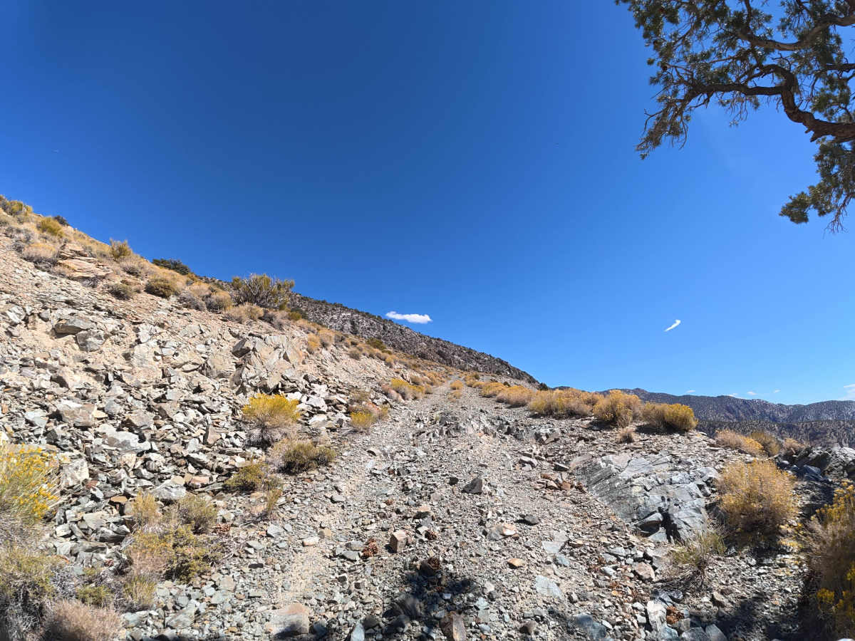
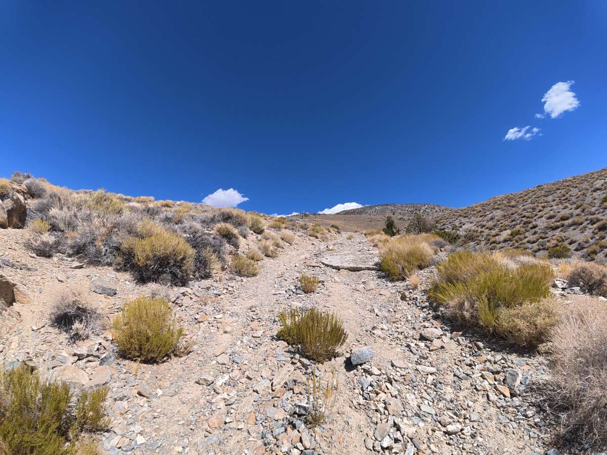
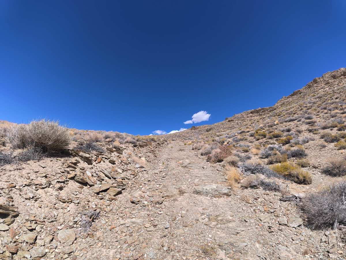
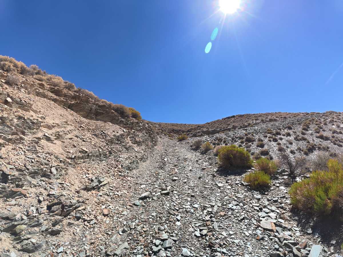
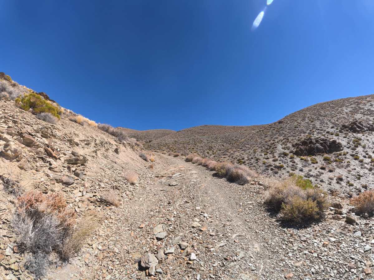
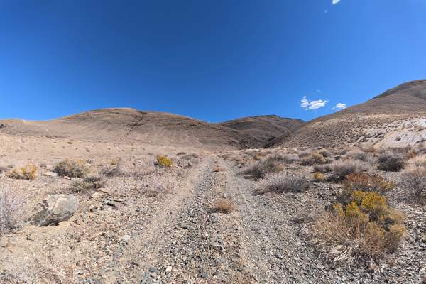
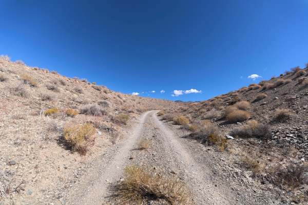
This challenging dirt and gravel trail is accessed from North McNally Canal Road and climbs into the national forest. Around 0.5 miles in, expect 5–6-inch rock ledges and 8-inch ruts. A level campsite at 0.7 miles accommodates up to five vehicles and is protected from wind by the surrounding hills. Farther in, the route enters a scenic canyon surrounded by unique rock formations and cliffs. The trail narrows significantly with multiple switchbacks and sections reaching 10° off-camber. Around 3.8 miles, the route becomes extremely difficult with a steep cliffside climb over loose substrate and 16–22 inch rock ledges and obstacles. The proximity to the cliff edge combined with loose terrain requires constant attention and precise vehicle placement. At the end, a level campsite accommodates up to six vehicles with incredible views below.
Difficulty
This trail is rated Level 6 because of the extremely steep cliffside climb, loose substrate, 16–22-inch rock ledges and obstacles, multiple switchbacks, and sections reaching 10° off-camber. The combination of large obstacles, loose traction, and significant cliffside exposure leaves little room for error. At least 16 inches of front-end clearance and 4WD are required, with differential lockers highly recommended. This trail is not van- or trailer-friendly.